Coma Pedrosa

Edited by:
Massimo Martini
Access
The ascent to Coma Pedrosa follows the Arinsal side entirely, in the parish of La Massana, which is the only accessible route to the summit. From Arinsal, the ascent passes through the Parc Natural Comunal de les Valls del Comapedrosa to the refuge of the same name, an essential waypoint for those not tackling the climb as a day trip. The first section, up to the refuge, involves a moderate climb; the final section, along the ridge, requires greater care and hiking experience, whilst remaining technically straightforward. The recommended season is summer, from June to October; in winter and spring, the summit and the upper sections remain snow-covered, with a risk of avalanches reported at high altitudes.
Introduction
At 2,942 metres, Coma Pedrosa is the highest mountain in the Principality of Andorra and its highest geodetic point. It is situated in the north-western part of the country, in the parish of La Massana, within the Pyrenees mountain range, close to the border with Spain. The summit forms part of the Parc Natural Comunal de les Valls del Comapedrosa, a protected area established to safeguard the high-mountain ecosystems of the Pyrenees. A symbol of identity for the small Pyrenean state, the mountain historically also served as a natural defence against invasions.
Description
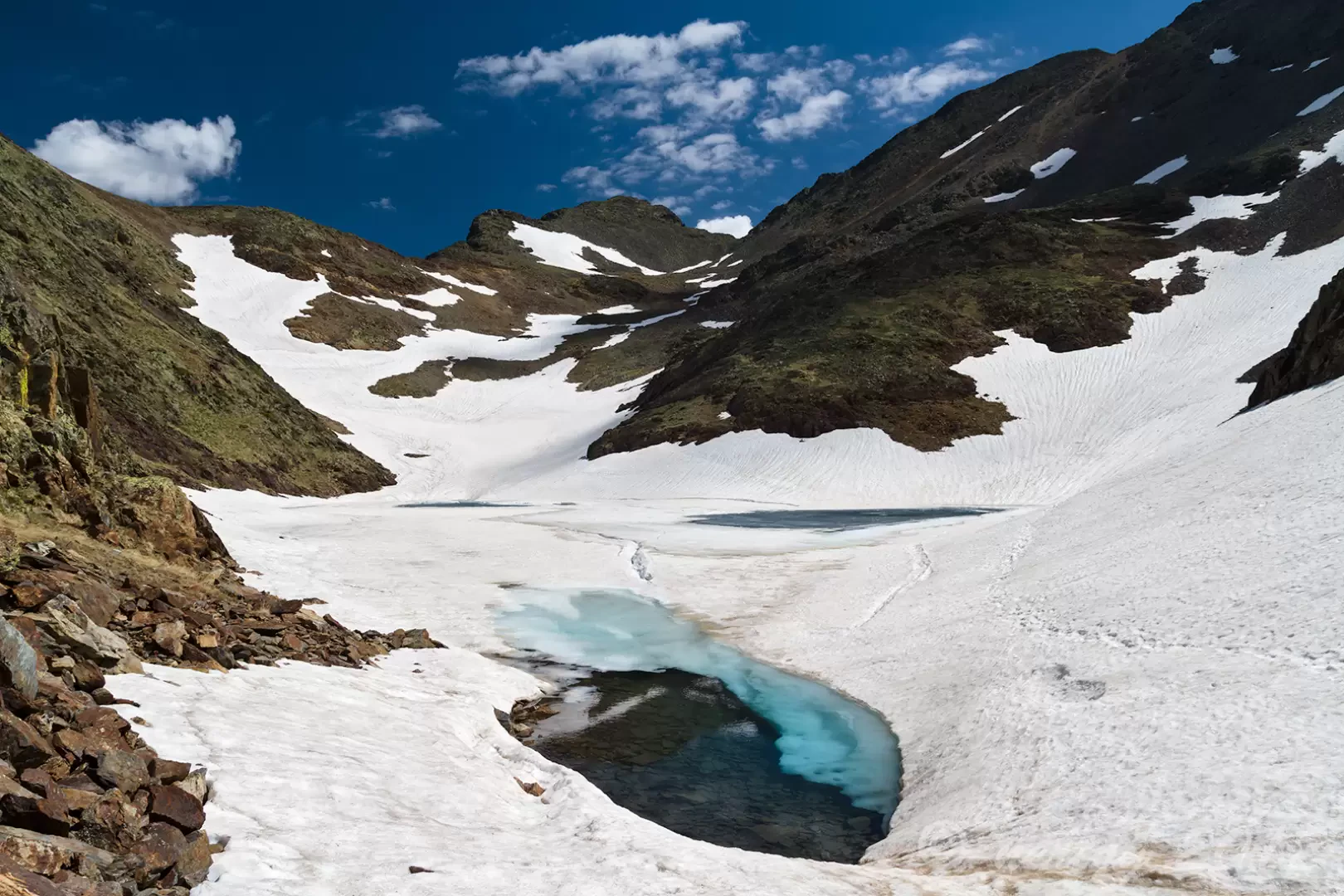
Coma Pedrosa rises to over 1,500 metres above the village of Arinsal, at the head of a narrow glacial valley characterised by numerous high-altitude lakes and ponds, including the Estanys de Baiau, situated on the western slope beyond the Spanish border. The landscape encountered during the ascent changes with altitude: from the white birch forests of the lower valley, the terrain transitions through a shrubby zone dominated by common juniper, up to the rocky ground and the vegetation-free summit ridge. The area, protected within the Parc Natural Comunal de les Valls del Comapedrosa established in 2003, provides a refuge habitat for the Pyrenean chamois (Rupicapra pyrenaica) and the bearded vulture (Gypaetus barbatus), species of conservation importance that can be observed near the summit ridge. The park was also recognised in 2014 as a wetland of international importance under the Ramsar Convention, due to the presence of over seventy high-mountain wetlands, including permanent streams, glacial springs and peat bogs.
Historically, due to its commanding position and the difficulty of access, the mountain provided the small territory of Andorra with a natural defence against external incursions. Today, the summit is a popular destination for hikers and mountaineers, with an ascent considered technically straightforward but strenuous: the first section, from Arinsal to the mountain hut, is of moderate difficulty, whilst the final metres along the ridge require greater care. The Comapedrosa mountain hut, situated at 2,213 metres along the route, serves as the main staging post for the ascent and as a base for further explorations in the valley, including the climb to the nearby Pic de la Pla de l’Estany. A wind rose is situated at the summit, serving as a useful reference point for identifying the surrounding mountains visible from the top.
As the highest point in an entire country, Coma Pedrosa shares with other country high points around the world a popularity that stems partly not from its technical difficulty – which is relatively low compared to peaks of similar altitude in other mountain ranges – it is more its symbolic role as the nation’s highest point, rather than the mountaineering effort required, that explains its popularity.
Information
Altitude: 2,942 m
Prominence: 434 m
Alternative name: Comapedrosa; Pic de Coma Pedrosa (Catalan)
Mountain range: Pyrenees
First ascent: unknown
First ascenders: unknown
First winter ascent: unknown
First winter ascenders: unknown
Routes
Standard route from Arinsal
Support points
Comapedrosa mountain hut (2,213m)