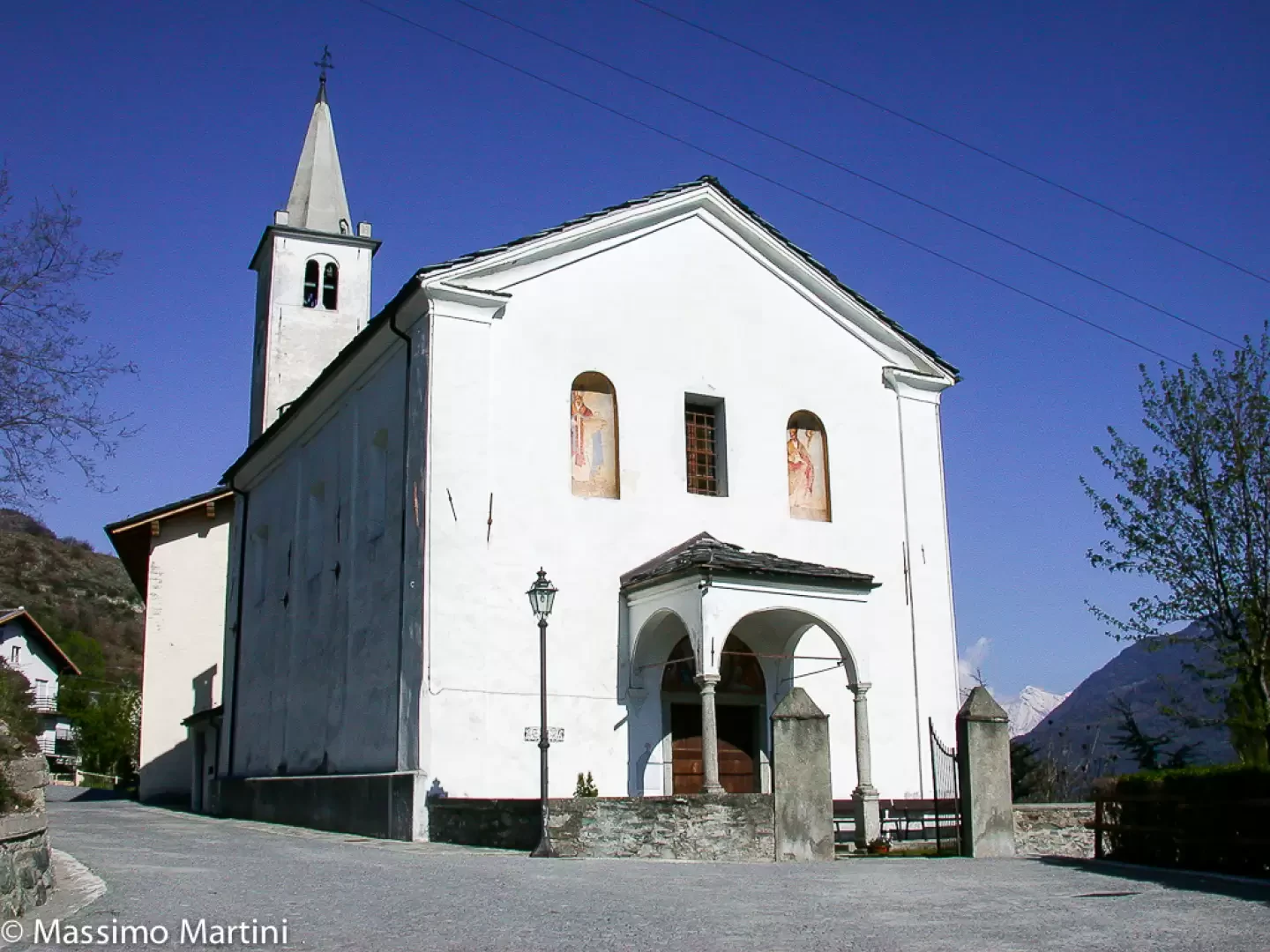
Saint-Denis

Edited by:
Massimo Martini
Access
Introduction
A mid-mountain town, situated in the central valley on the left bank of the Dora Baltea. It was of considerable importance in the Middle Ages, as evidenced by the ruins of Cly Castle, which can also be seen from the valley floor.
Description
The main part of the building dates back to the 11th century, although it was subsequently extended over the following centuries. The Lords of Cly were a branch of the Challant family until the second half of the 14th century, when Amadeus VI, Count of Savoy, seized the feudal rights for himself due to crimes committed by the nobleman Pietro di Cly. The estate changed hands several times until it came into the possession of Baron Filiberto Roncas, who saw fit to demolish parts of the castle in order to reuse the stones in the construction of his palace in Chambave.
The municipality’s location, set in the mid-mountain range, and its excellent sun exposure have always favoured agricultural activity, particularly viticulture. Notable is the production of Moscato di Chambave, which, in its "flétri" version – that is, passito – was particularly favoured by the royal family and remains the flagship product of the producers’ cooperative to this day.
In the woods leading to Col San Pantaleone, a Suillus luteus var. albus Wasser & Soldatova was collected immediately after the flood on 20 October 2000. This mushroom is very rare and was found near the regional road leading to the pass. A mid-mountain town, situated in the central valley along the left bank of the Dora Baltea. It held considerable importance in the Middle Ages, as evidenced by the ruins of Cly Castle, which are also visible from the valley floor. The main core of the building dates back to the 11th century, and it was subsequently extended in later centuries. The lords of Cly were a branch of the Challant family until the second half of the 14th century, when Amadeus VI, Count of Savoy, assumed the feudal rights for himself due to crimes committed by the nobleman Pietro di Cly. The estate changed hands several times until it came into the possession of Baron Filiberto Roncas, who saw fit to demolish parts of the castle in order to reuse the stones in the construction of his palace in Chambave. The village’s location, set in the mid-mountain range, and its excellent sun exposure have always favoured agricultural activity, particularly viticulture. Of particular note is the production of Moscato di Chambave, which, in its “flétri” version – that is, a passito – was particularly favoured by the royal family and remains the flagship product of the producers’ cooperative to this day. In the woods leading to Col San Pantaleone, a Suillus luteus var. albus Wasser & Soldatova was collected immediately after the flood on 20 October 2000. This mushroom is very rare and was found near the regional road leading to the pass.
Information
Area: 97.50 km²
Altitude: 809 m
Highest point:
Population: 369
Name in the local dialect:
Name of inhabitants: Saint-Denisots
Patron saint: Saint Denis (9 October)
Website: www.comune.saintdenis.ao.it
Webcam:
Neighbouring municipalities: Antey-Saint-André, Chambave, Châtillon, Pontey, Torgnon, Verrayes
Villages and hamlets: Barme-des-Valtournains, Bédeugaz, Celliers-Neufs, Champillon, Chouac, Clou, Cly, Cret-de-Gilles, Cuignon, Del, Étrobléaz, Farys, Goillaz, Grand-Bruson, Petit-Bruson, Gubioche, Mesoncel, Orsières, Plantéry, Plau, Raffort, Rovarey, Semon, Saint-Évence