Arcésaz

Access
Arcesaz is easily reached by car from the Val d'Ayas regional road, coming from Verrès and passing other centres such as Challand-Saint-Victor and Challand-Saint-Anselme. The village is about 2.4 kilometres from the main town of Brusson. For those arriving from afar, the reference point is the Verrès motorway junction, from which you proceed in the direction of Ayas. Access by public transport is limited and generally only private transport is recommended. A large free fractional car park is available for visitors at the entrance to the village, while those wishing to reach Graines can use the ancient mule track that climbs from the southern part of the village to the upper road and then to the castle; those visiting in the winter months can access the cross-country skiing tracks directly from the meadows of the village.
Introduction
Arcesaz is a historical hamlet of the municipality of Brusson, located in the middle Val d'Ayas, in the Aosta Valley, at an altitude of about 1,146m. The village is known for its ancient rural dwellings, some of which are true treasures of Alpine architecture. The geographic location of Arcesaz, south of the main town Brusson and not far from the road coming from Verrès, makes it easily identifiable along the regional route of the valley. Its historic houses, arranged in a sequence between rock walls and wide meadows, bear witness to a past linked not only to mountain agriculture, but also to mining activities: in fact, close to the village was the Gomba Toppa gold mine, whose concession dates back to the early 20th century.
Description
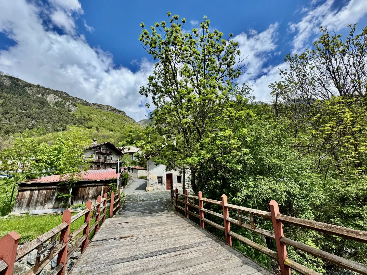
The presence of a chapel on the right bank of the Evançon stream, the Hotel La Croce Bianca structure along the state road and the connection via a characteristic mule track with the nearby village of Graines help to reconstruct the community identity of Arcesaz. According to local tradition, a small lake, which has now disappeared, was also found here, traces of which can be seen in the layout of the dwellings and in the alluvial soil that emerges by digging underground. The oldest core of the village is perched below the Bois de Chamorin and boasts the typical compact layout derived from the Latin place name 'arctus' (narrow). The name 'Arcesaz', documented in historical cartography since the 18th century, is also said to derive from this peculiar conformation. Historical curiosities also include the ancient role of the Grosjacques family, 'Vigilant', traditionally linked to the guardianship of the castle of Graines, an important medieval fortification located on the adjacent heights.
The local economy has traditionally been based on agriculture, livestock breeding and handicrafts, with the presence of meadows that in winter host three cross-country skiing trails for a total of 7.5 km, with easy to medium-high difficulty. The ancient path linking Arcesaz to Graines, rediscovered and marked with pink arrows, bears witness to the care taken to keep the historic road fabric active and still represents an opportunity for hikers to retrace ancient roads immersed in larch forests, with open views of the valley and surrounding peaks. In the village there are historical fountains and a modern playground with football pitch, intended especially for families, thus completing the range of services for visitors. Community gatherings are punctuated by local festivals and a lively gastronomic tradition of local products.
Information
- Altitude: 1,146m
- Name in dialect: -
- Inhabitants: -
- Patron Saint: St. James