Breuil-Cervinia

Access
Leave the motorway at the Châtillon-Saint-Vincent tollbooth. Turn left and continue for 300 metres to the roundabout. Take the third exit onto via Émile Chanoux and follow it for 600 metres through the centre of Châtillon. Turn slightly right onto via Menabreaz and continue for 450 metres to the roundabout with the Matterhorn monument. Take the second exit onto Regional Road in the direction of Valtournenche. Continue along for about 27 kilometres, passing through the municipalities of Antey-Saint-André and Valtournenche, until you reach Breuil-Cervinia, where, just after the avalanche tunnel, on the left is the entrance to the large free car park 🅿️ located near the bus terminal.
The starting point of the itinerary is served by public transport. To consult the timetable, visit the aosta.arriva.it
Distance and travel time
🕒Travel time: 39 minutes
📏 Distance: 28.40 km
GPS navigation
📍 How to get there with Google Maps
📍 How to get there with Apple Maps
ℹ️ Important note
The information provided has been checked on the date of the survey of the route. Before departure, it is advisable to check for any changes to the route. For up-to-date and detailed directions, we recommend the use of Google Maps or Apple Maps.
Introduction
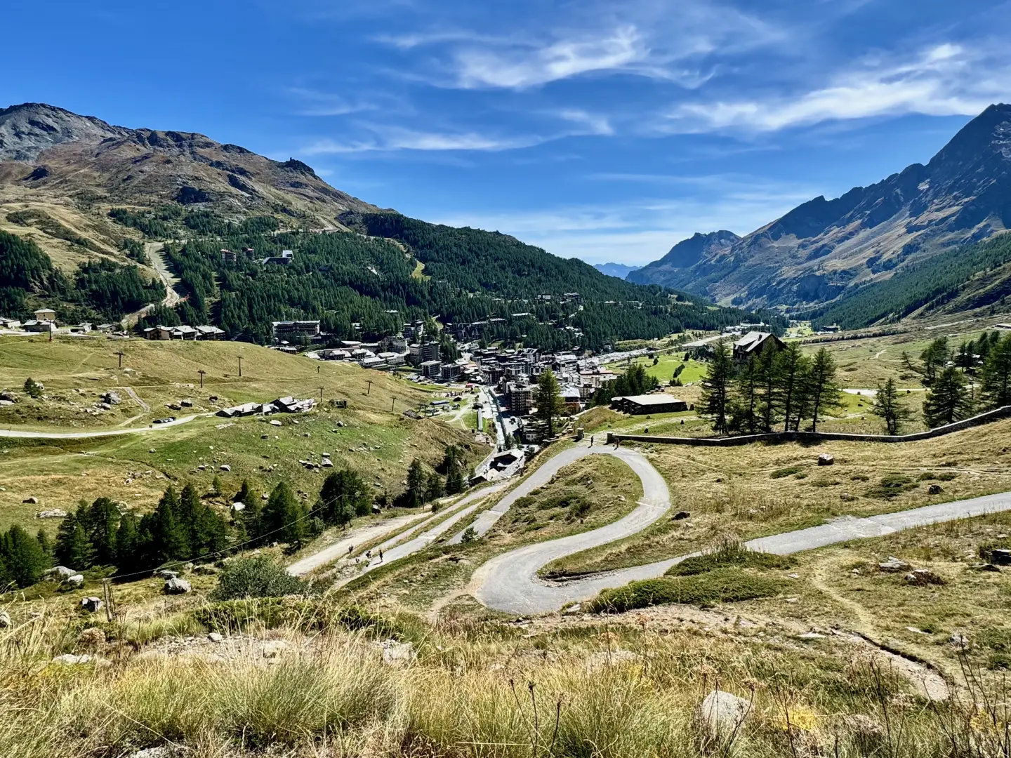
Breuil-Cervinia is one of the best-known tourist resorts in the Aosta Valley and the entire Alpine arc, located at an altitude of 2,050 metres in the municipality of Valtournenche. It rises in a wide glacial basin at the foot of the Matterhorn, the symbolic mountain of the Alps, and is surrounded by a natural environment of rare beauty, with glaciers, alpine lakes and peaks exceeding four thousand metres.
Description
The resort's recent history is linked to the development of alpine tourism and winter sports, but the name 'Breuil' has its roots in the Franco-Provençal language: it means 'marsh', and recalls the ancient landscape of the basin, once dominated by peat bogs and wetlands. The transformation into a tourist resort began in the 1930s, with the construction of the first ski lifts and the hotel infrastructure that made the resort one of Europe's most important ski poles.
Today Breuil-Cervinia is renowned for the vast international ski area that connects it to Zermatt, Switzerland, via the Plateau Rosà and the Teodulo Pass. This characteristic allows skiing for a good part of the year, even during the summer, thanks to the presence of perennial glaciers. The resort is also the starting point for famous hiking and mountaineering routes, including the Italian ascent to the Matterhorn, which starts at the Duca degli Abruzzi refuge at Oriondé.
The town centre combines modern facilities, hotels, restaurants and shops with places of memory and culture. These include the chapel of Maria Regina Vallis Augustanae, the monument to Mike Bongiorno and the small church of the Alpini, dedicated to the Monte Cervino Battalion. The plain also has sports facilities and spaces for summer activities such as trekking, mountain biking and high altitude golf.
Breuil-Cervinia maintains a strong link with its surroundings: the views of the Gran Becca, the Plateau Rosà glacier and Monte Rosa offer a unique setting for mountaineers or those simply looking for a high altitude holiday resort. It is a resort that combines the sporting and tourist dimension with the naturalistic one, and continues to represent a symbol of international alpine tourism.