Antola Park

Edited by:
Massimo Martini
Last Visit: 29/04/2026
Introduction
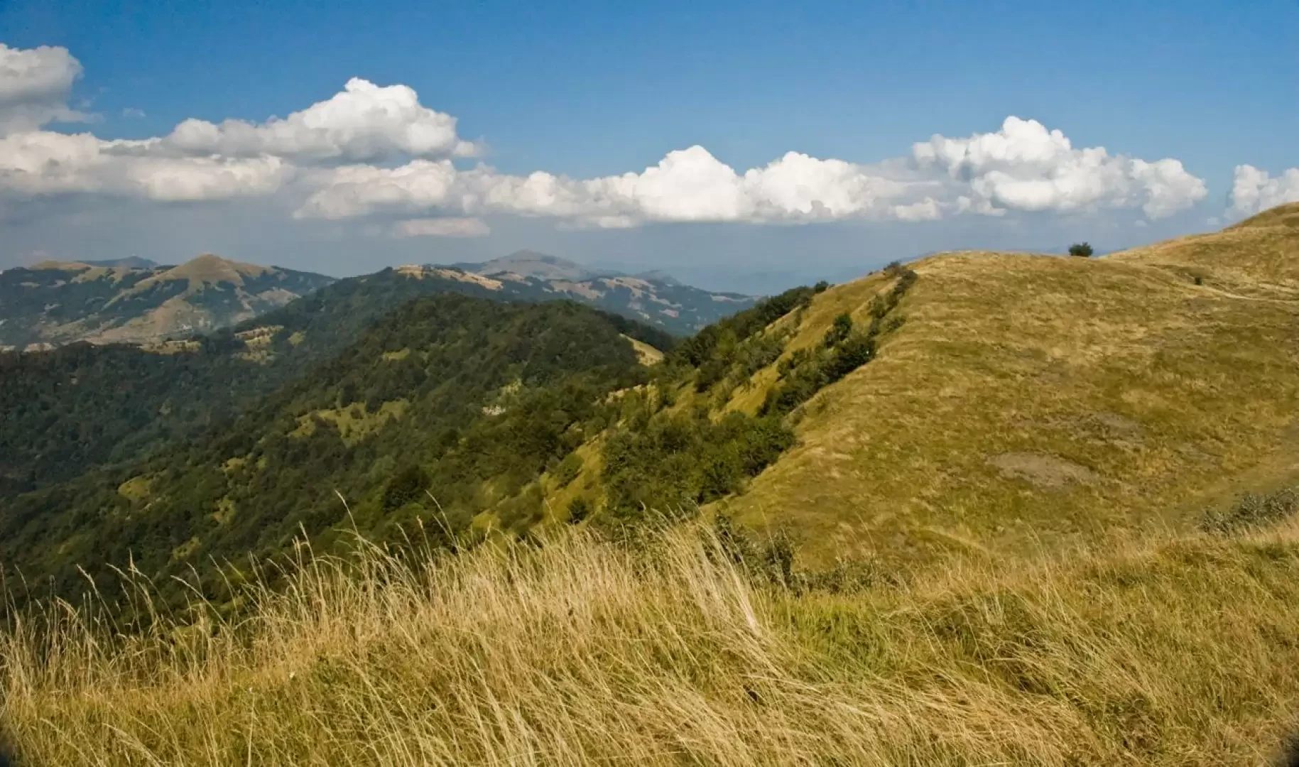
Description
Information
Foundation Year: 1995
Area: 48.37 sq. km
Maximum elevation: Monte Antola (1597m)
Municipalities concerned: Busalla, Crocefieschi, Fascia, Gorreto, Montebruno, Propata, Ronco Scrivia, Rondanina, Savignone, Torriglia, Valbrevenna, Vobbia
Institutional site: www.parcoantola.it
Contacts: info@parcoantola.it