Leysser Point

Edited by:
Massimo Martini
Last Visit: 18/09/2026
Access
Introduction
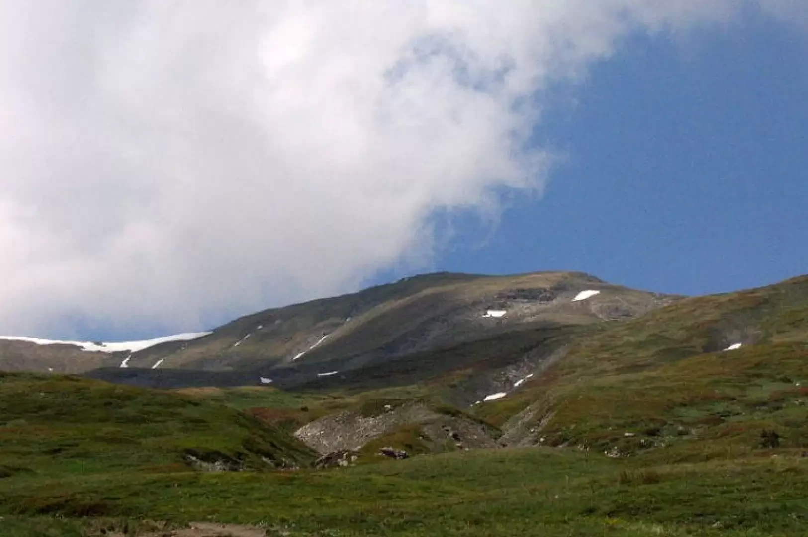
The highest point of the long watershed stretching from south-west to north-east between the Vertosan valley and the broad terraces overlooking Saint-Pierre. Mainly grassy, it can be reached from Vetan and Vens via easy summer hikes and interesting winter routes on snowshoes and skis: particularly for ski mountaineering and back-country skiing, it offers spectacular descents on the southern slope thanks to natural half-pipes formed by the gullies that cut through the ridge.
Description
Information
Altitude: 2,771 m
Alternative name: -
Mountain range:
First ascent:
First ascenders:
First winter ascent:
First winter ascenders: