Calanque d'En Vau, from Cassis

Edited by:
Maurizio Bergamini
Updated at: 07/10/2026
Access
Introduction
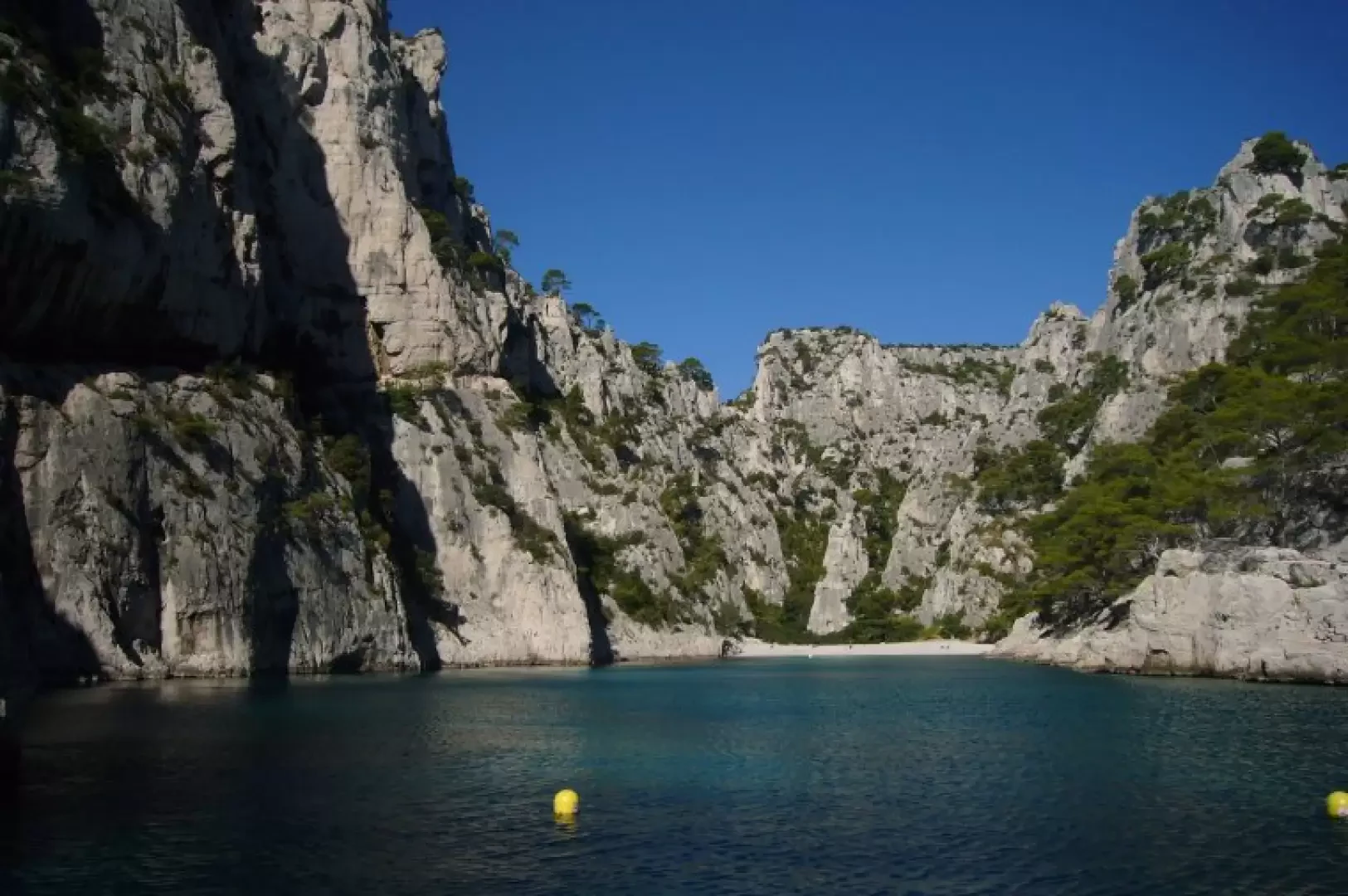
How to get to one of the 100 most beautiful beaches in the world. A splendid walk through a protected area: the Calanques National Park. After about an hour and a half of easy walking (apart from a short 15-minute stretch towards the end), you’ll reach one of the world’s most beautiful beaches, even if it’s made up of stones rather than fine, scorching sand... The path is slippery on the final stretch (at the start of the return journey).
Access is restricted depending on weather conditions and the risk of fire: check accessibility the evening before
www.calanques-parcnational.fr/fr/acces-calanques-risque-incendie
Description
0h00' 0.00km From the harbour at Cassis, head south-west, continue up a flight of steps and along the busy road you come to. Turn onto the “Traverse du soleil” shortcut, which climbs steeply, then follow Avenue des Calanques and the sign for “Port-Miou” on a green sign featuring a pedestrian.
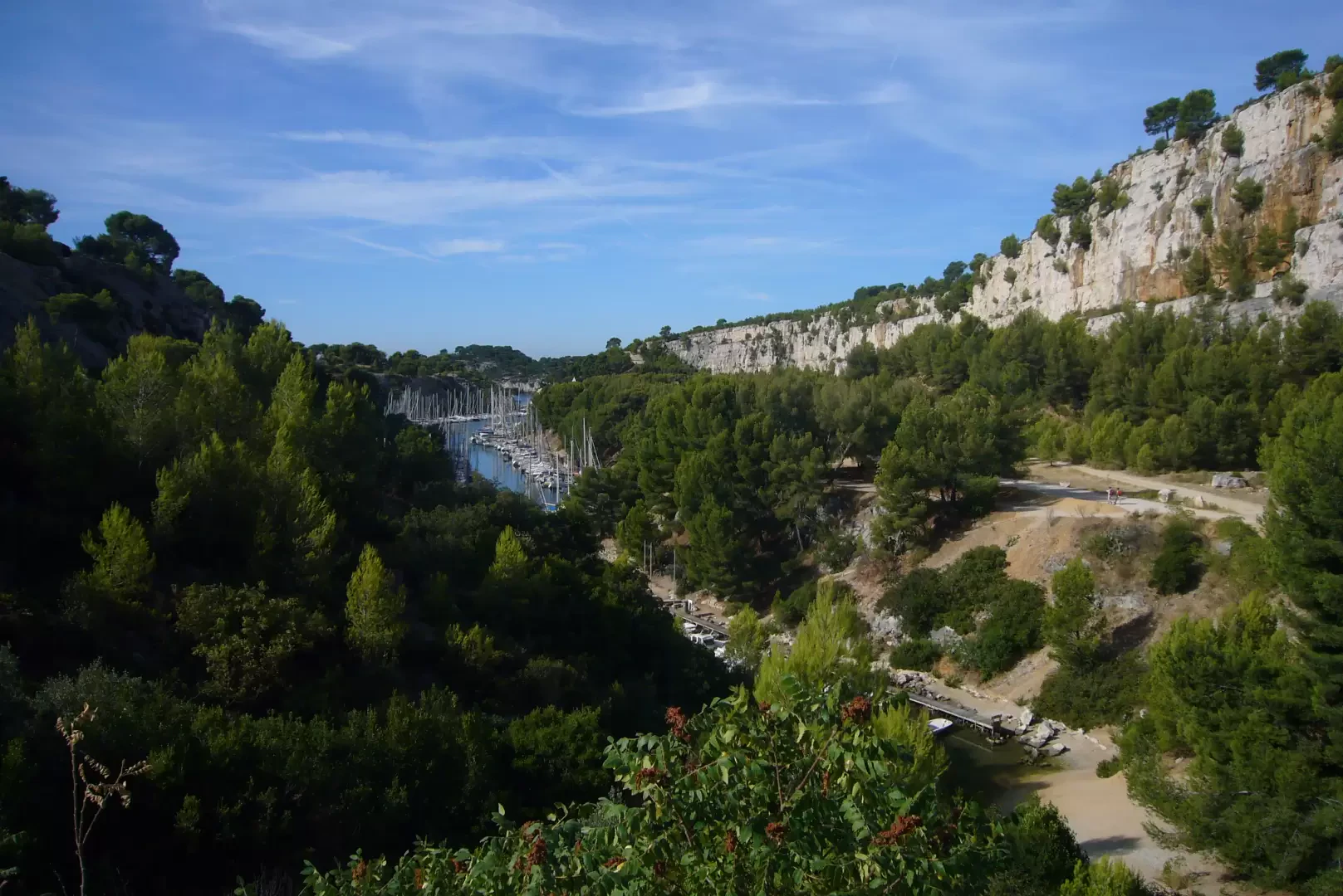
This takes you to the first calanque, Port-Miou, which is nothing more than a former quarry converted into a very busy harbour for small pleasure boats.
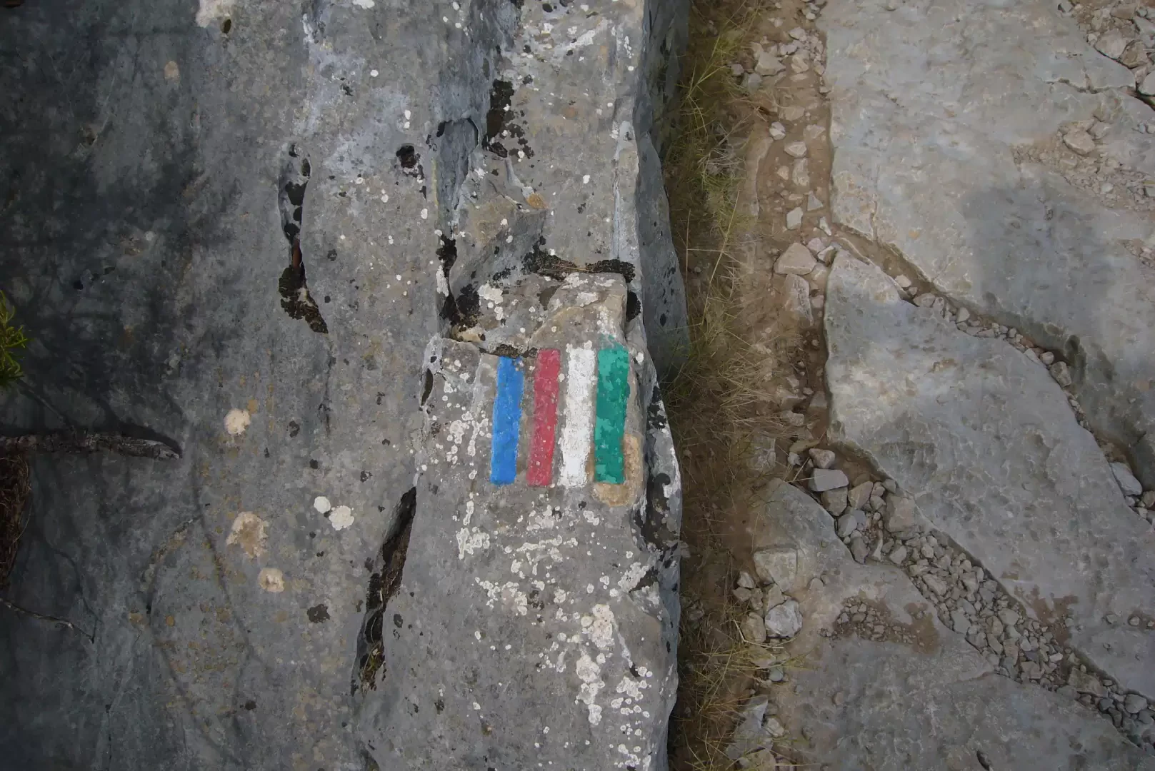
Head up the western side of the calanque along a wide path. Shortly afterwards, a signposted junction points towards “Port-Pin” and warns that you must be properly equipped (footwear, clothing, water, etc.) to continue.
There are no refreshment points or drinking fountains in the Calanques, and the Mistral – the icy north wind that often reaches 100 km/h – can blow strongly. You should also take precautions against excessive sun, as shade is scarce and sunburn is a real risk.
Port-Pin can be reached in 30 minutes. And it’s already a pleasant destination.
0h30' 0.00km Here you can choose between two routes: to the right, the GR 98; to the left, the more ‘adventurous’ Green Trail No. 8, which circles the headland before returning to the same spot: the Cadeiron plateau. Taking the GR 98, which is more direct, takes 20 minutes.
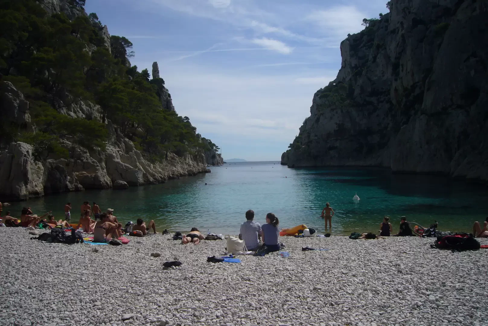
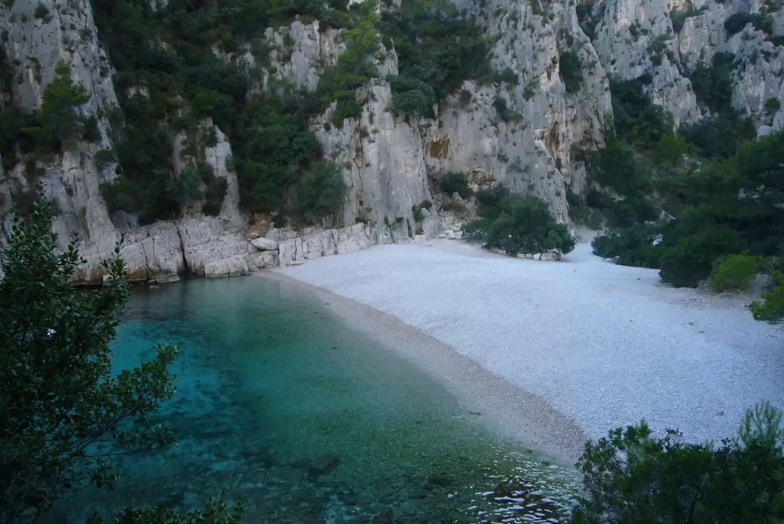
At the junction of the two paths there is a large, very slender cairn. It marks the start of the descent towards the calanque: it is a very steep and often slippery path, due both to the smooth stones and the fine scree covering parts of it. Once you reach the bottom of the descent, in a few minutes you’ll reach the beach, nestled between high rock faces, which are often the setting for climbing routes.
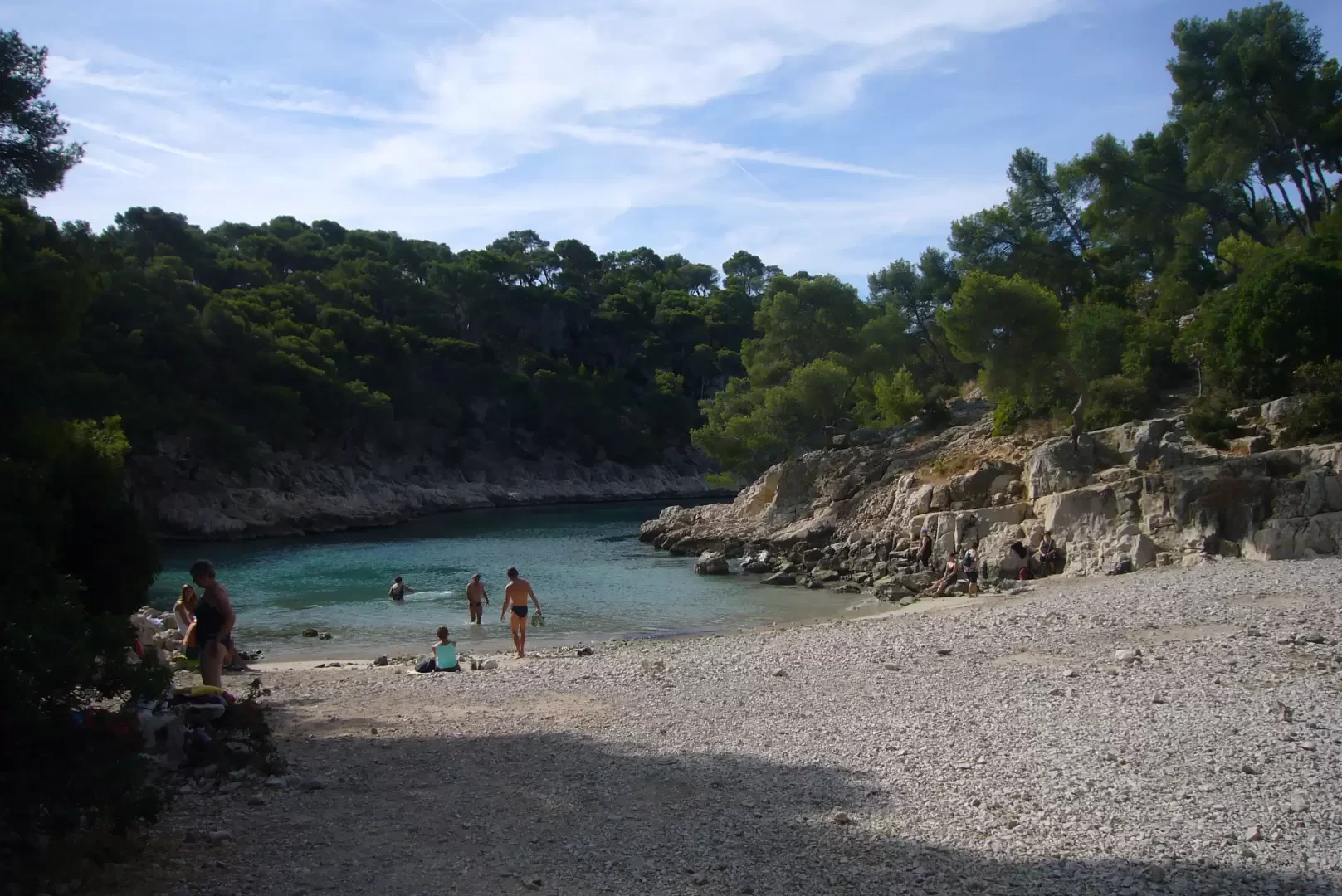
On the beach, bear in mind the sun’s path; because of the high rock faces, you may be forced to move your camp: it’s best to stay towards the east, where the rest of the group will gradually join you... Forget about solitude: this is a popular destination for hordes of holidaymakers and can also be reached by sea using hire canoes.
On the return journey, you can take a different route to the one you took on the way there.
Halfway up the steep climb, the signposts on the path suggest keeping to the left. In fact, the climb is less strenuous, but a little longer, as you veer quite a way to the left. On the plateau, turn right as soon as possible and return to the cairn at the junction (30 mins from the beach).
Photo gallery
Comments (0)
Sign in to leave a comment