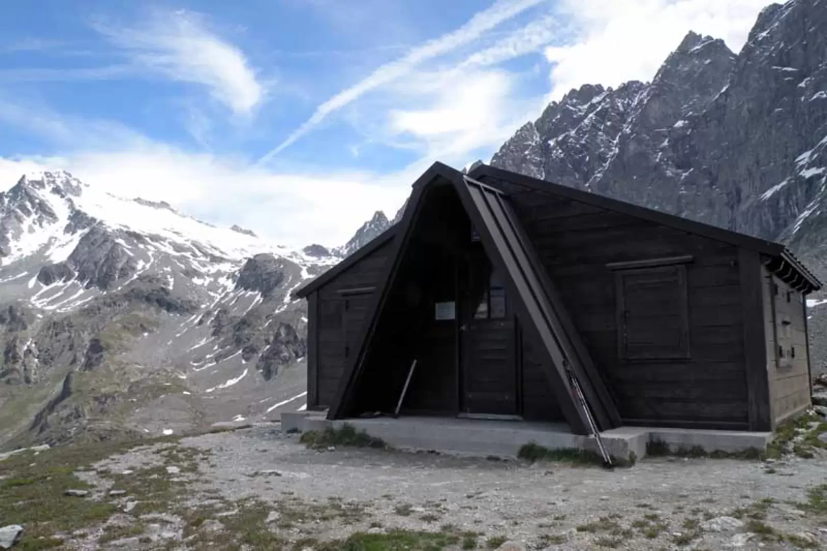
Regondi-Gavazzi bivouac, from Ollomont


Edited by:
Giancarlo Beretta
Updated at: 07/10/2024
Introduction
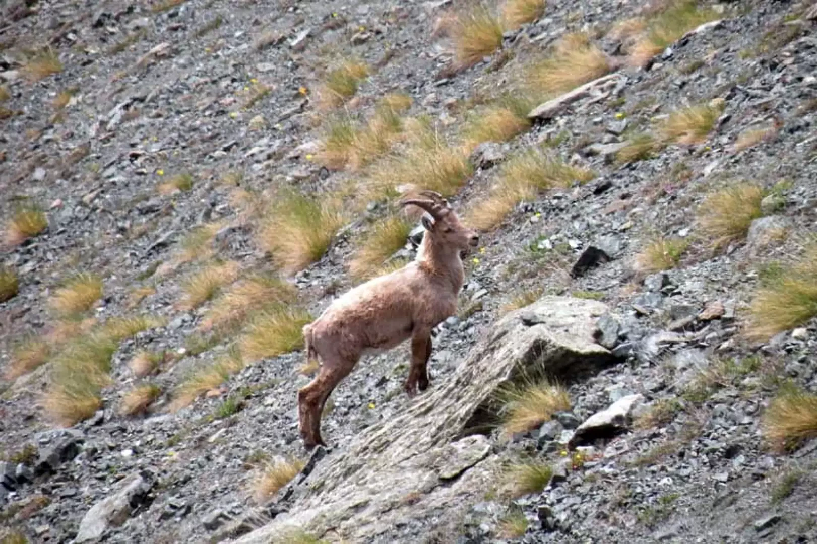
The Regondi bivouac is located on a scenic promontory overlooking the valley in front of it and, with its easy access, offers impressive views of Mont Velan, Grand Combin, Mont Gelè and all the other minor peaks in the area. The construction is made of wood and offers sixteen beds on planking, while water is found in the Leita Lake below. The hike starts from the valley's main town and climbs up through a beautiful forest of beech trees and, higher up, evergreens to first reach a scenic alpine pastureland, from which it climbs up along a beautiful path through unspoilt terrain and where it is easy to see specimens of alpine fauna, passing by the scenic Col Cormet.
Description
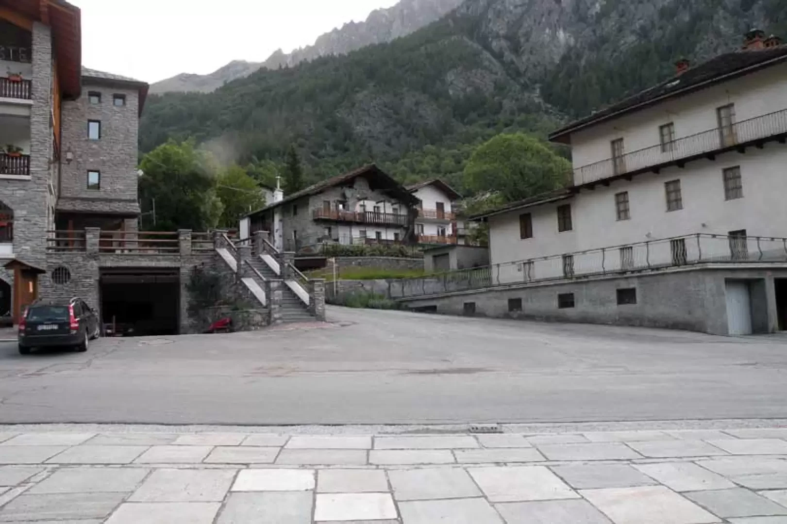
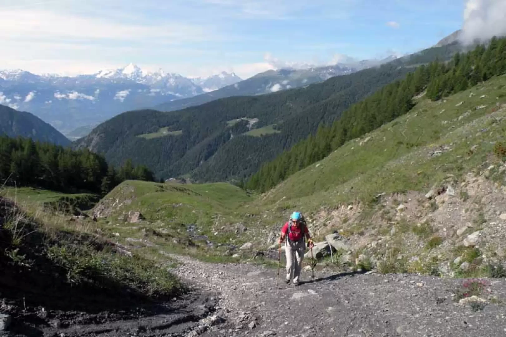
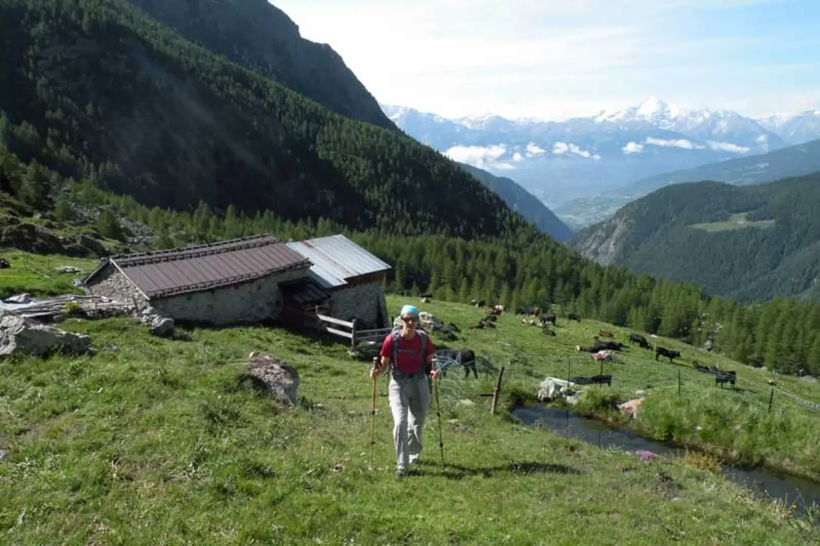
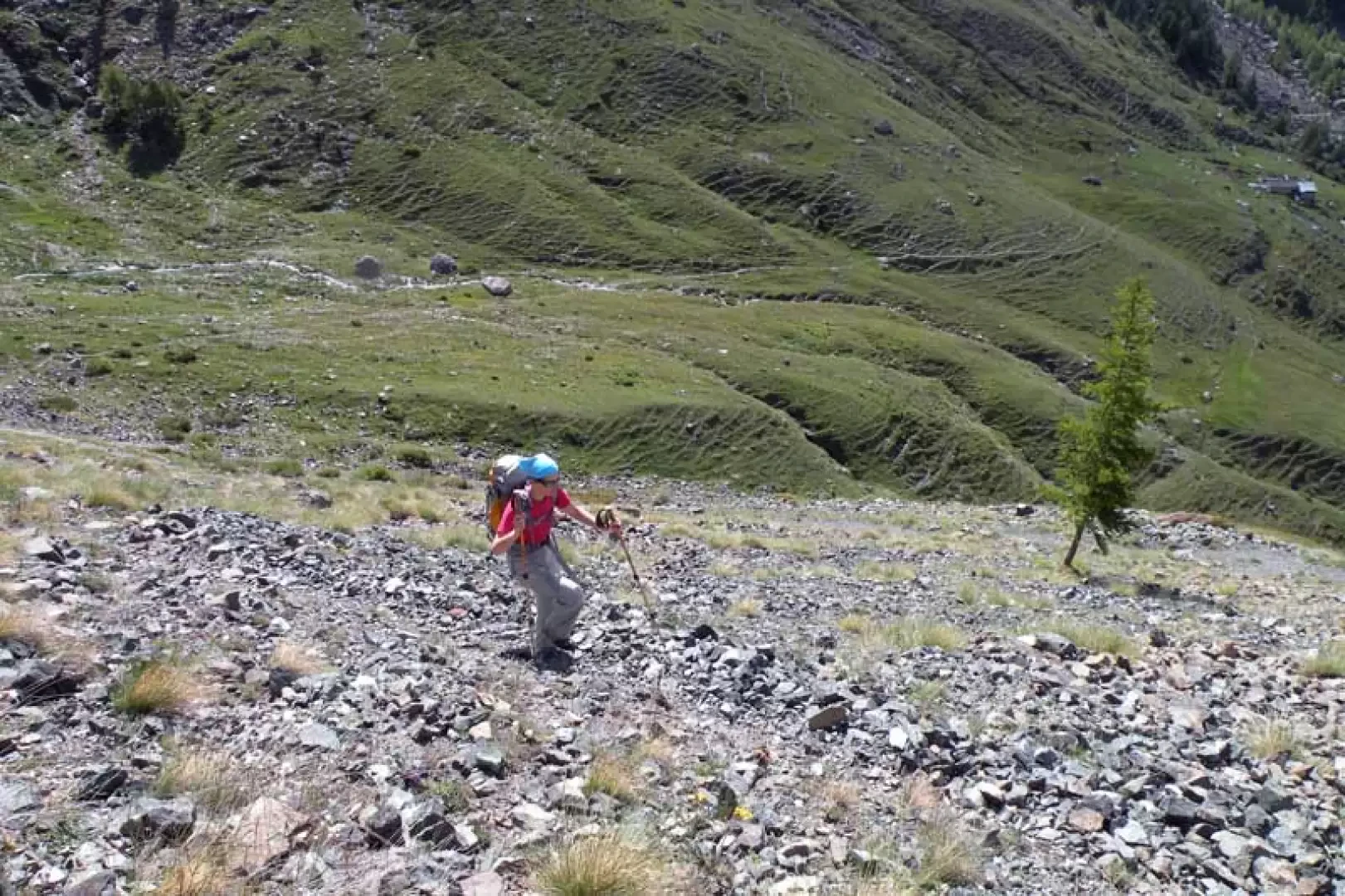
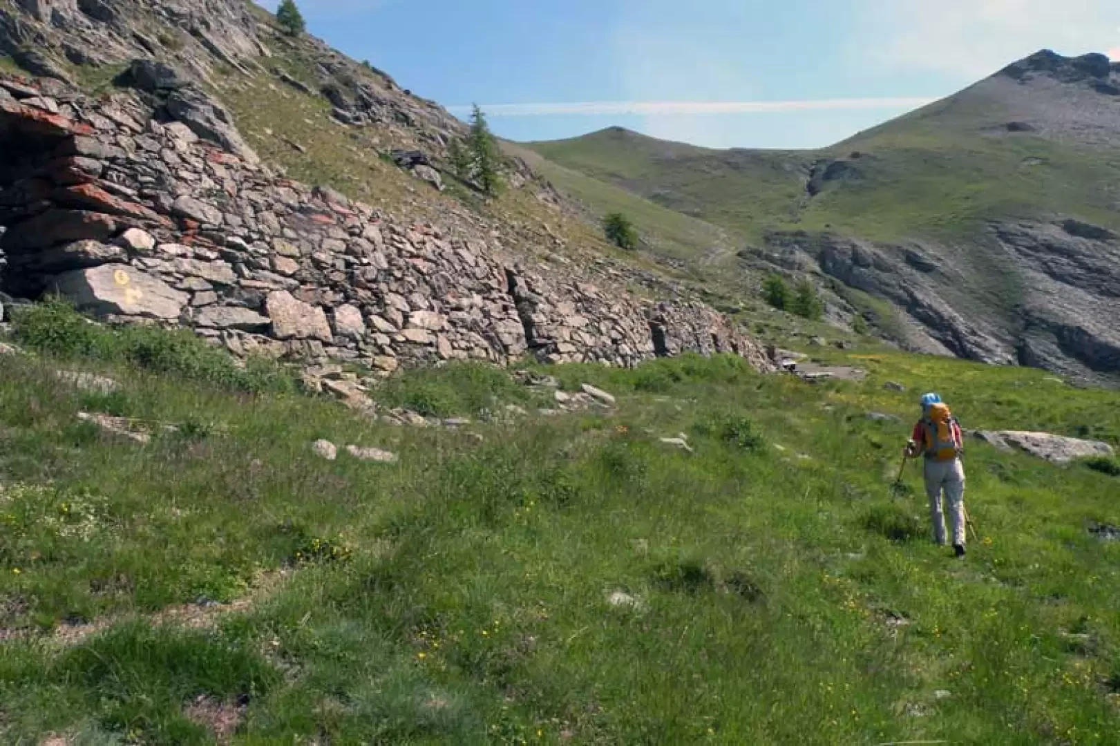
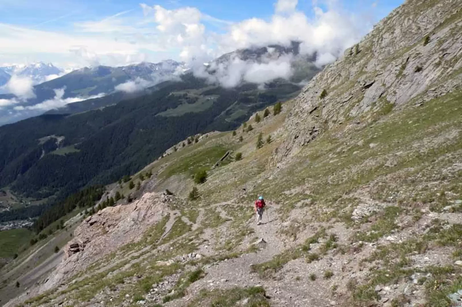
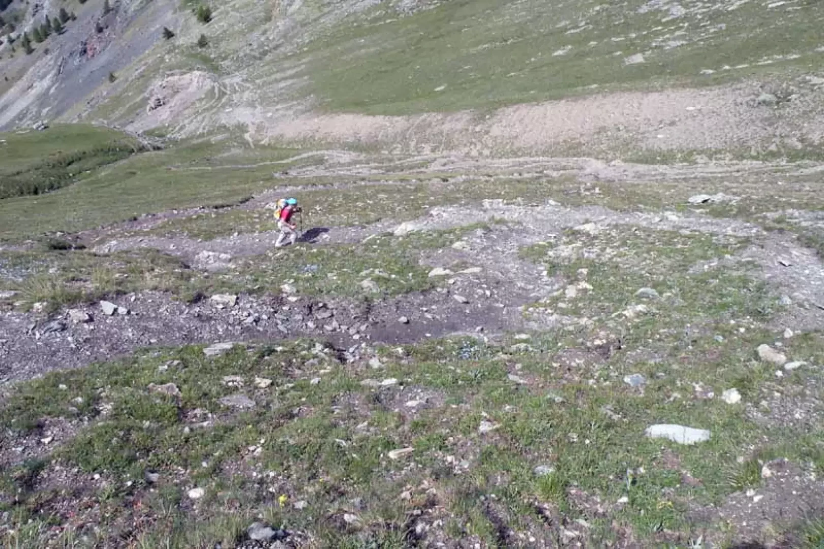
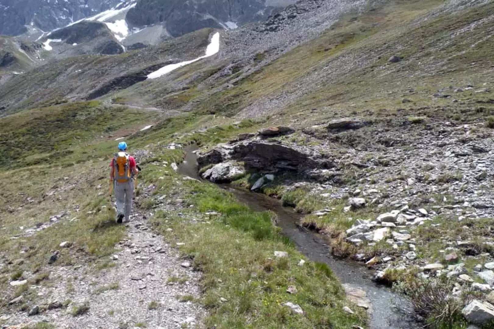
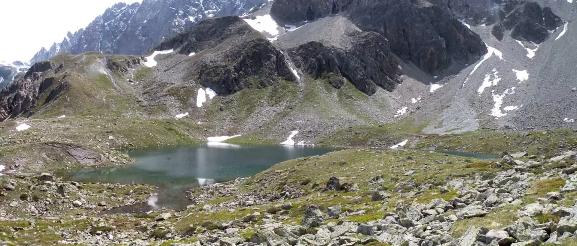
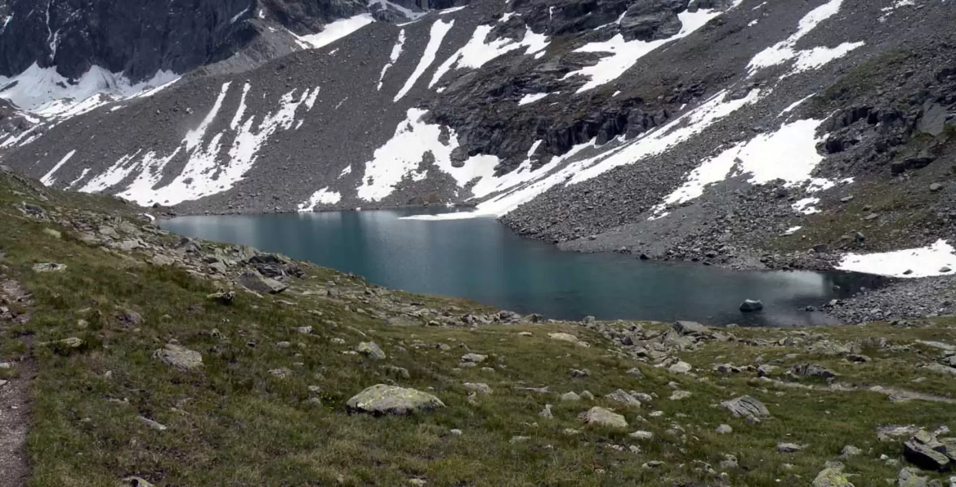
From the car park, we take the road to the right of the municipal building, which passes through the houses until we come to a crossroads with posts indicating that we should continue straight ahead, and then, following the wide mule track, we head towards the wood. The mule track climbs up the steep rampart with many hairpin bends, remaining on the right of the Berrio stream and arriving, higher up, in a more open space, which we cross to re-enter the coniferous wood; now the track loses height slightly, passing in front of a water intake, and then begins to climb again with a marked slope until we exit the wood once and for all. Go up with an almost straight path into the Comba di Berrio and then turn right, arriving in a short time at the Berrio damon pasture (1941 m) where you will find the indications for the path on the wall of the hut; leaving the hut to the right, go slightly uphill and go around some grassy ridges heading towards the bottom of the comba where, having crossed the stream, turn left. You begin to climb up the high grassy flank at first with a straight stretch and then, as you approach the summit, continue with a few narrow, steep hairpin bends that cross a landslide area. This brings us to the Tsa de Berrio barn (2171 m), from where we continue by turning right onto the evident path that cuts across the grassy slope passing above a high rocky bastion and then enters the gentle pastures located higher up. Before reaching the higher grassy slopes, the trail climbs, almost straight up, a section of path with a bottom of gravel and fine detritus that then, as it approaches the pass, becomes earthy and starts to make numerous narrow bends that, rapidly gaining height, soon reach the wide inlet of Col Cormet (2366m). From the pass, keep to the right and walk along the path that runs alongside the Ru du Lac, which is later found channelled into a pipe, and remains just below a band of boulders that surrounds it until reaching a large cairn of stones; staying above the banks of the Lake of Clusa below, follow the yellow marks and slightly uphill, you will reach the confluence of the path coming from Glacier (2463m). Now the path, increasing in gradient, climbs back up a high ridge arriving just below its highest point to cross over to a second ridge that borders uphill on the right passing above the Lago della Leita lake, arriving shortly at the promontory where the panoramic Regondi bivouac (2603m) is located.
Galleria fotografica