Ciairina Cave, from Starleggia


Edited by:
Marco Bonati
Updated at: 22/09/2024
Access
From Milan to Campodolcino along State Road 36; continue in the direction of Isola and, immediately after the large car park for the Madesimo-Motta ski slopes, turn left towards Starleggia. The small mountain hamlet can be reached after about 7 km of hairpin bends: parking in a small square near the church.
.Introduction
A pleasant excursion with an easy caving appendix. We penetrate the lowest level of the rocks that support a large karstic area above (Piano dei Cavalli) with an amusing progression, never dangerous, suitable for anyone who feels up to going through a low tunnel of a few metres: inside, we walk on a path among strange, sharp, multicoloured rocks. It is recommended that you do not dirty the water in the little stream, which is captured further downstream by the S. Sisto aqueduct.
Description
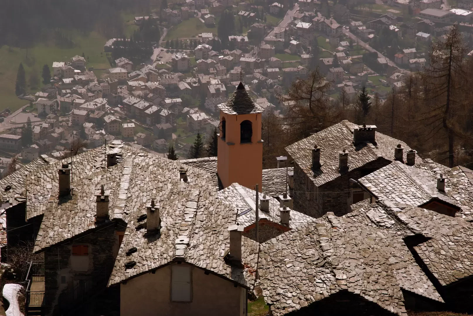
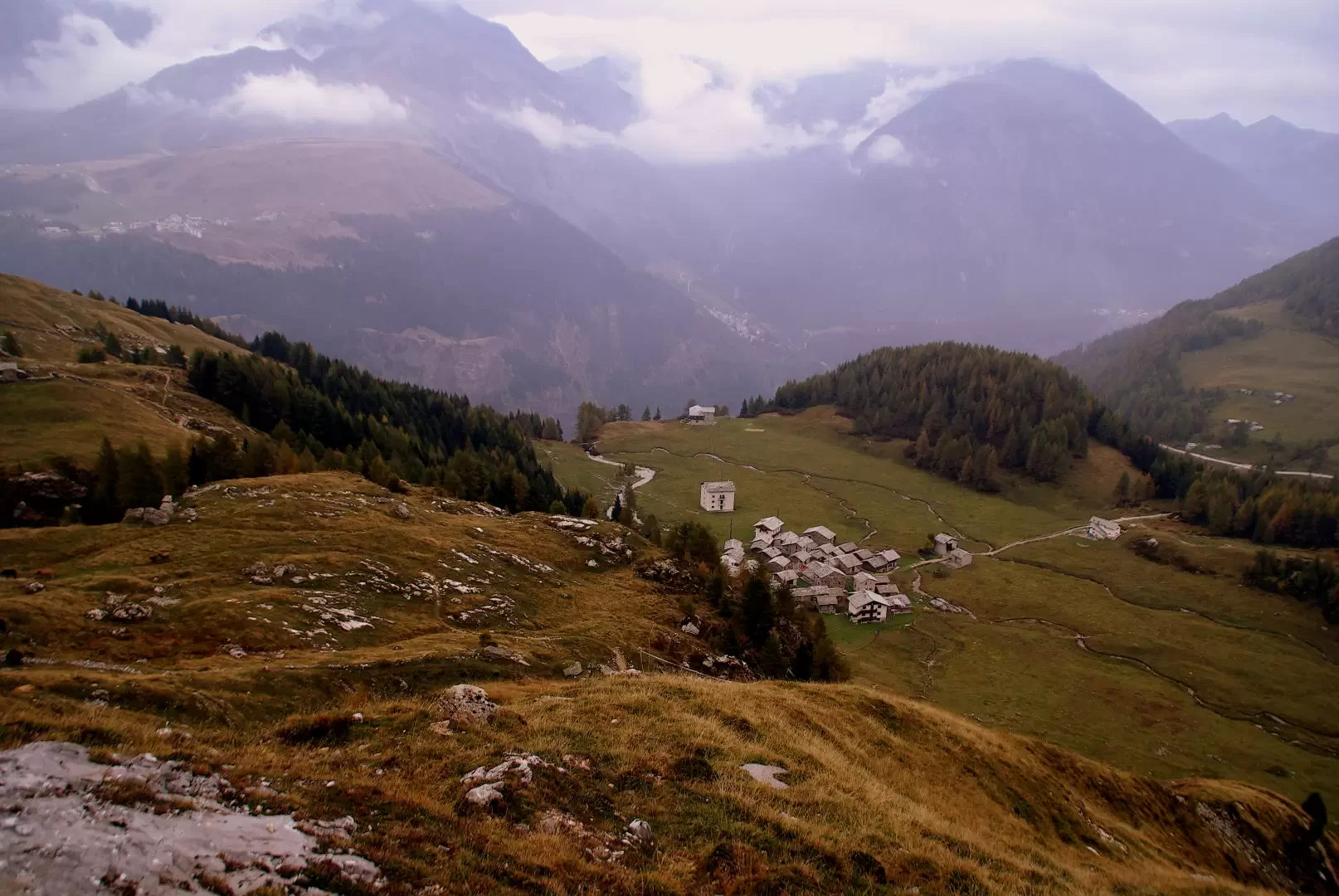
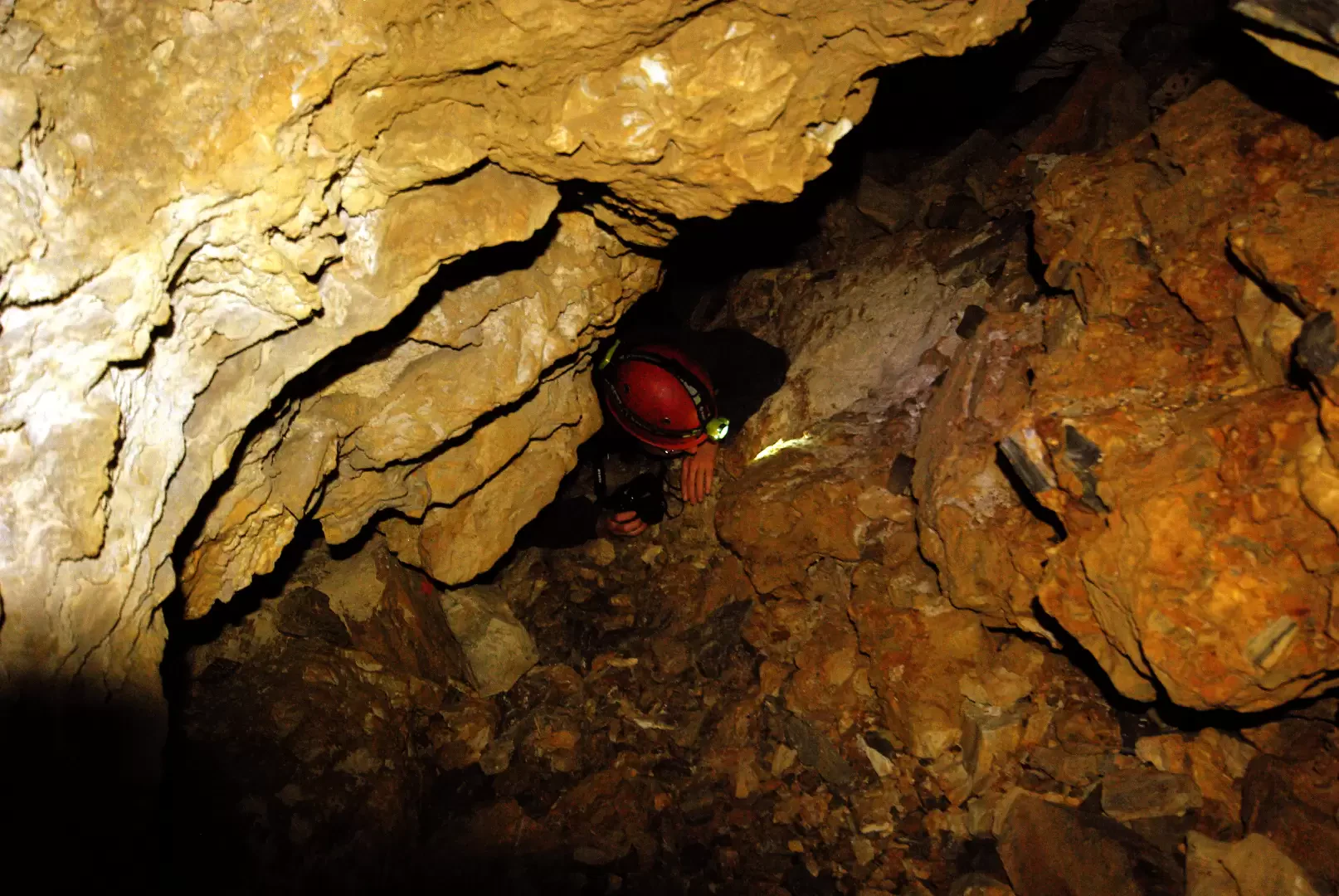
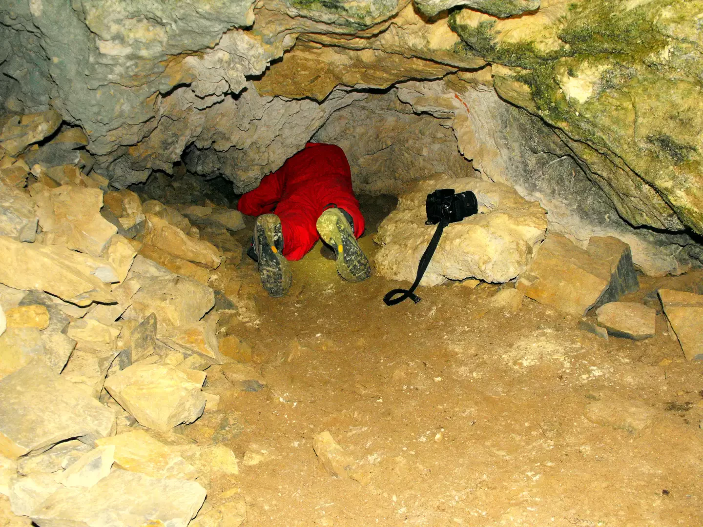
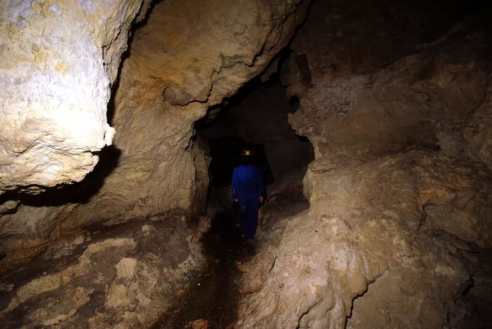
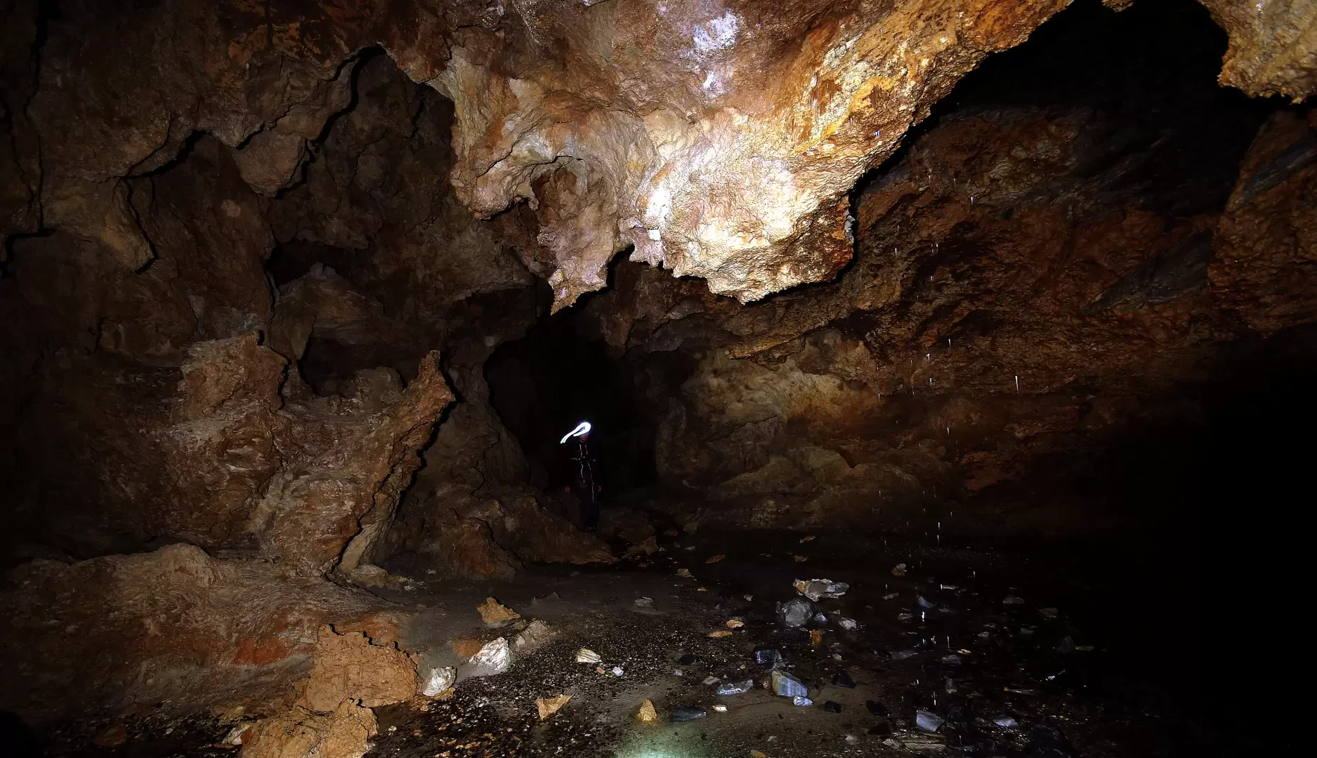
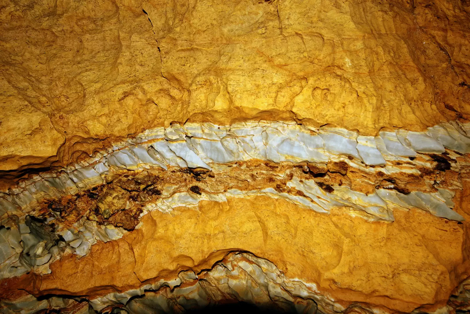
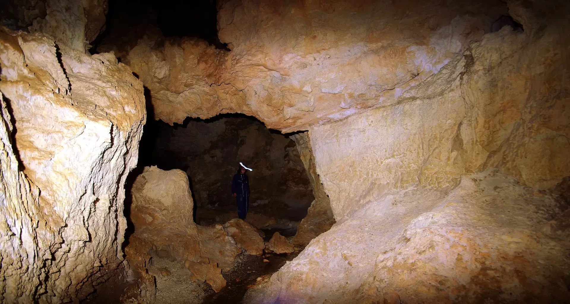
From the car park at Starleggia 1565 m, following the signs, walk up the narrow steps of the village (beautiful examples of old houses - "carden" -) and then wind your way up the meadows above. After crossing a dense fir forest, the path returns to the open air near a small chapel and an isolated bell tower that precede the cluster of huts at San Sisto 1810 m. From the central "little square", following the direction indicated by the "Piano dei Cavalli" sign, turn right and, having crossed the stream, begin to climb the steep slope, until you reach the huts on the left of Alpe Toiana 1900 m (approx. 1,900 m). Take a little path, ruined by the passage of cattle, that leads to cross the stream again (marmitte dei giganti). Now it is necessary to ascend the pasture shoulder in the direction of the very eroded rocky bank above (Monte Tignoso). The slope is steep, but the presence of animal tracks facilitates the ascent: after an aqueduct hut, lastly on small rocks and rubble, you approach the first cave, counting from the left (low entrance - obstructed). The large cavity is only passable for a few metres in the narrow right-hand meander, which closes immediately on a landslide. [Interesting, but beware of very sharp rocks]. The real entrance (entrance 1926 m high) is located about ten metres up to the right of the cavern already explored: it is a low horizontal opening (about 80 cm) leading into a larger atrium. At the bottom, there is a very low tunnel (max. 40 cm), a few metres long: at its end, having passed a landslide of blocks ('clasts'), one begins to walk along a watercourse amidst white pebbles - impalpable powdered calcium carbonate - and curiously eroded rocks. After about 220 metres (neg./pos. 25 m) the cave ends with a small lake formed by a waterfall from an unexplored chimney. Return by the outward route.
Photo gallery
Comments (0)
Sign in to leave a comment