Punta Maurin


Edited by:
Giancarlo Beretta
Last survey: 02/08/2011
Updated at: 07/10/2024
Updated at: 07/10/2024
Difficulty
T2
Length
22.00 Km
Departure altitude
1795 m
Arrival height
3233 m
Positive difference in height
1466 m
Round trip time
04h45'
Return time
02h45'
Recommended period
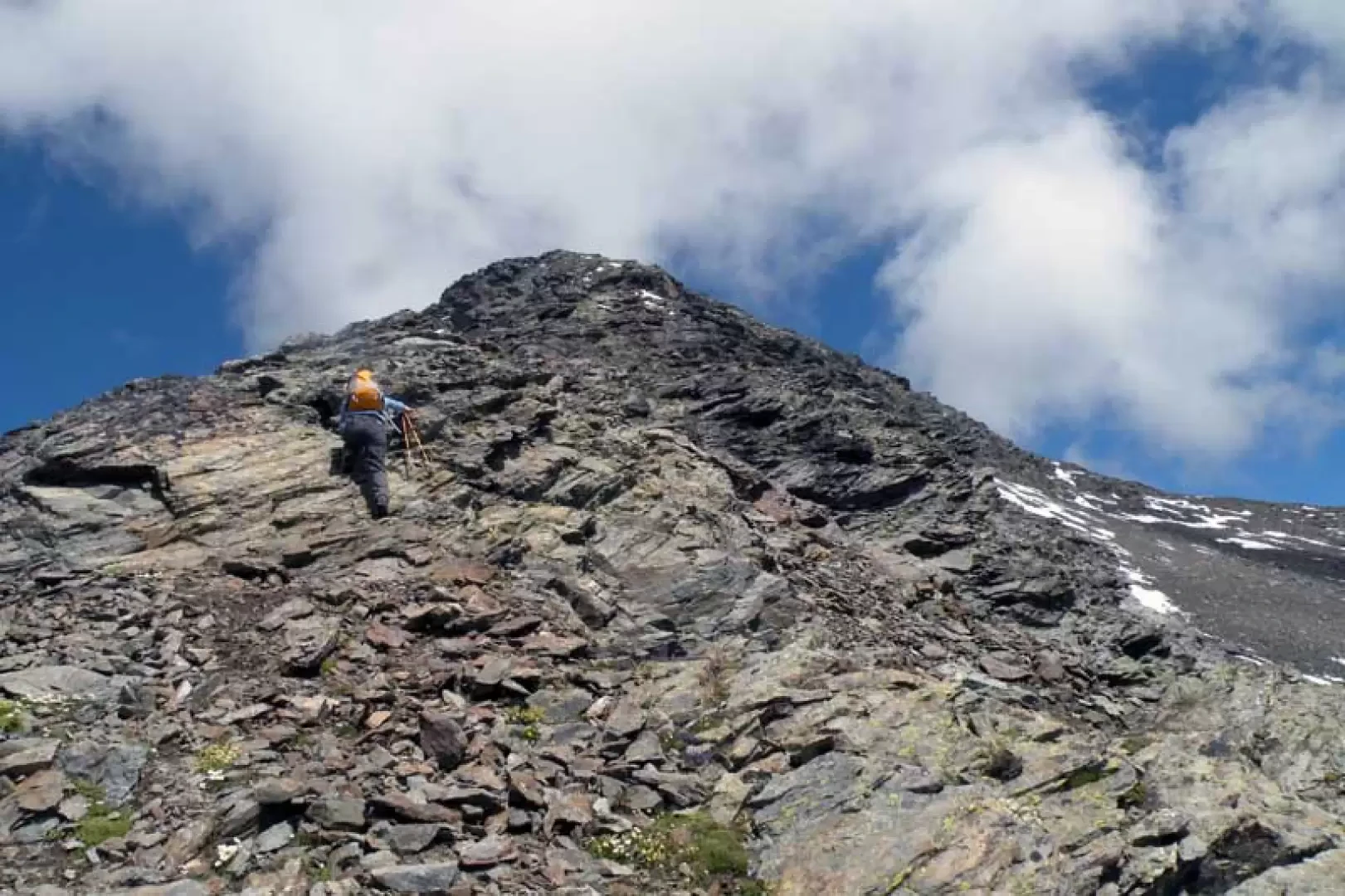
Description
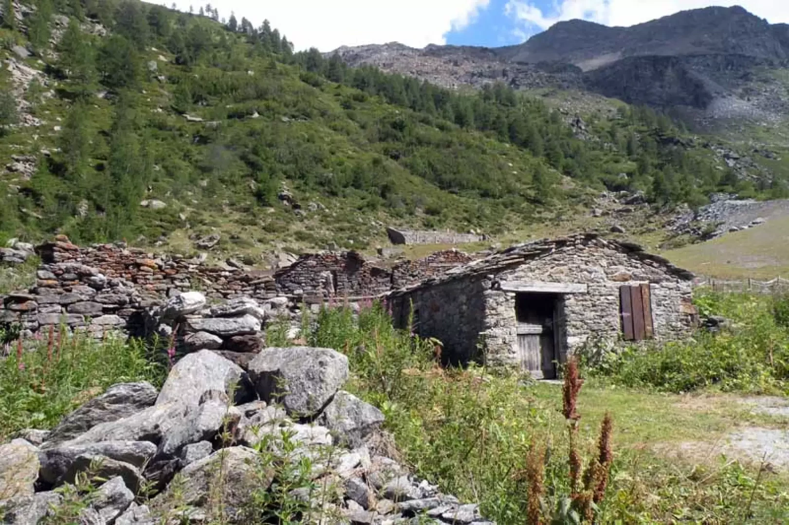
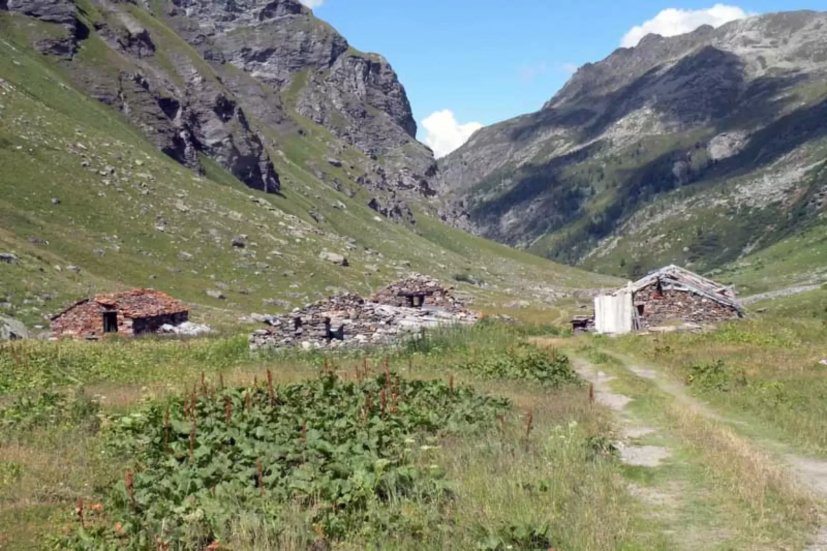
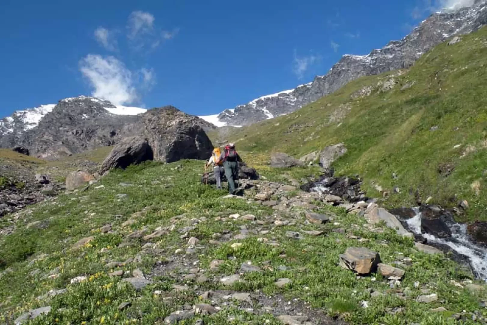
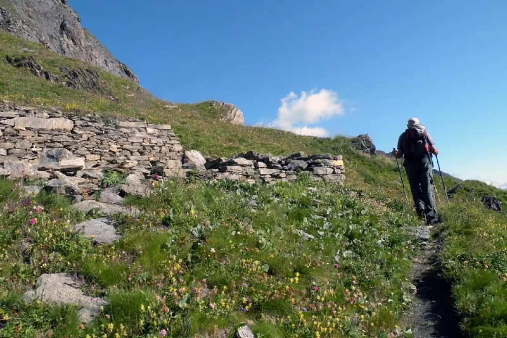
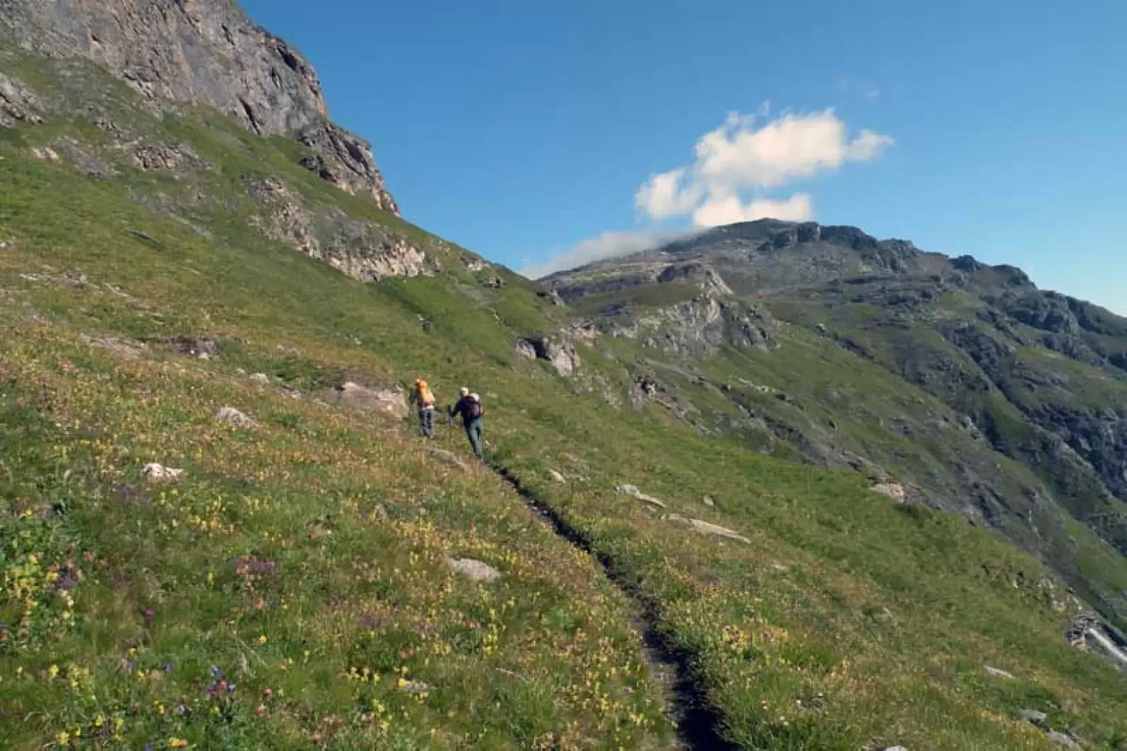
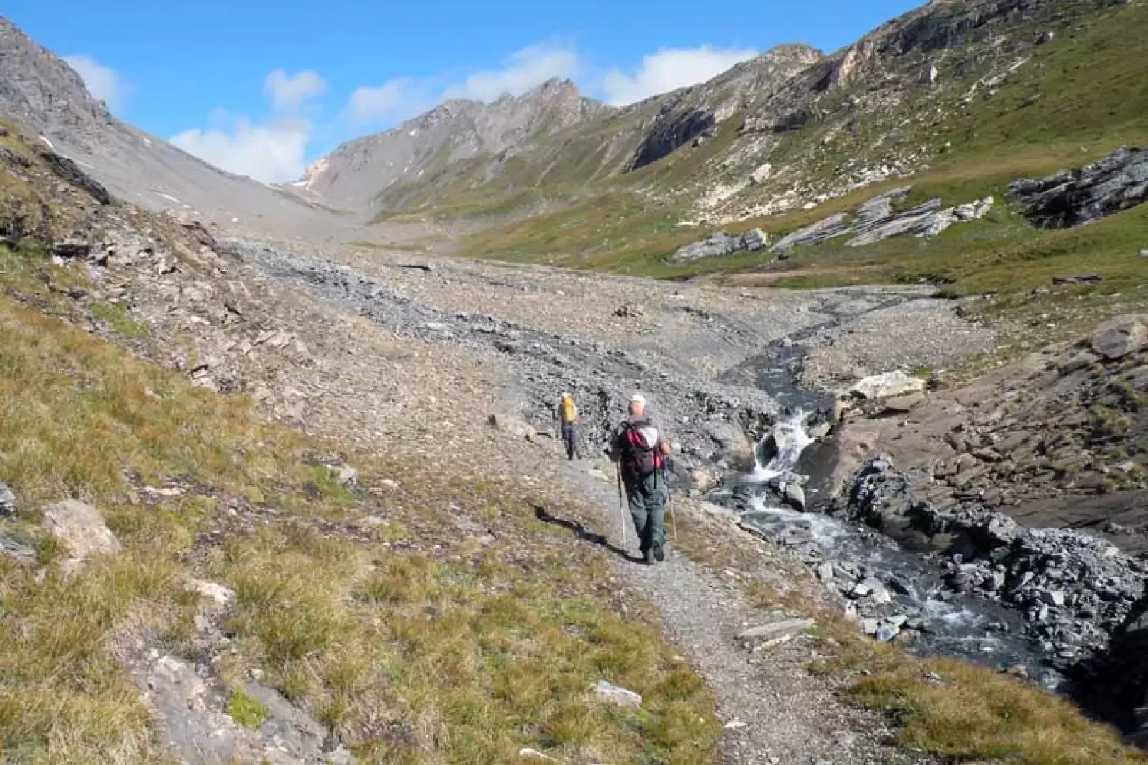
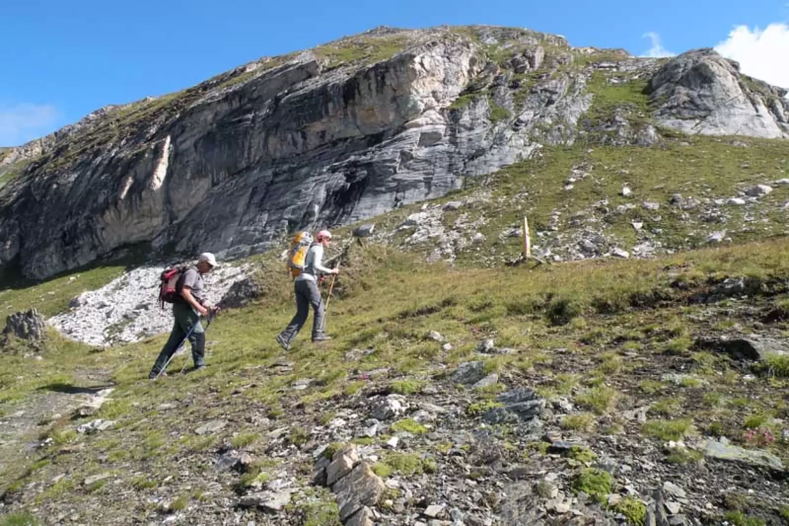
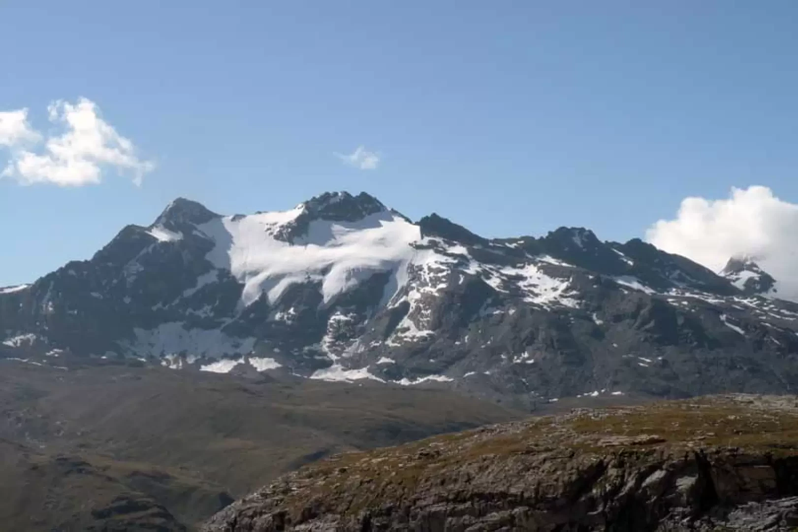
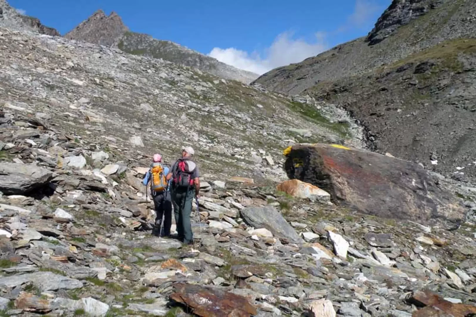
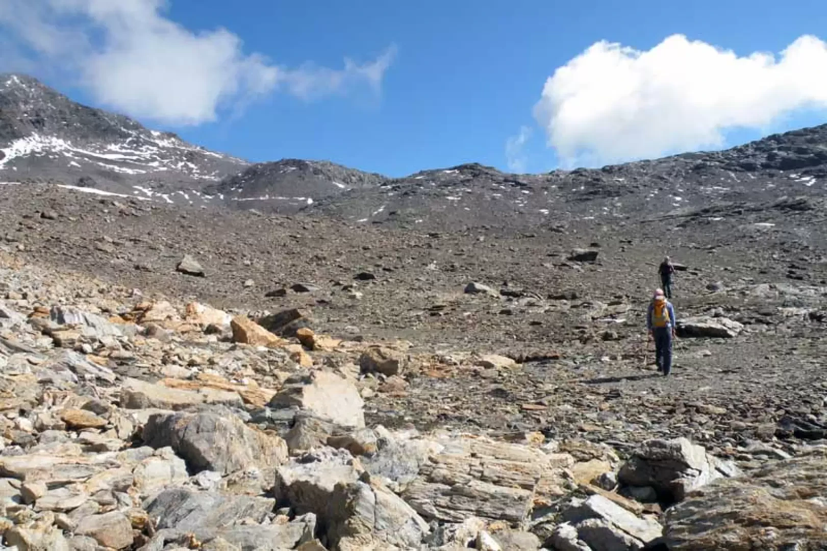
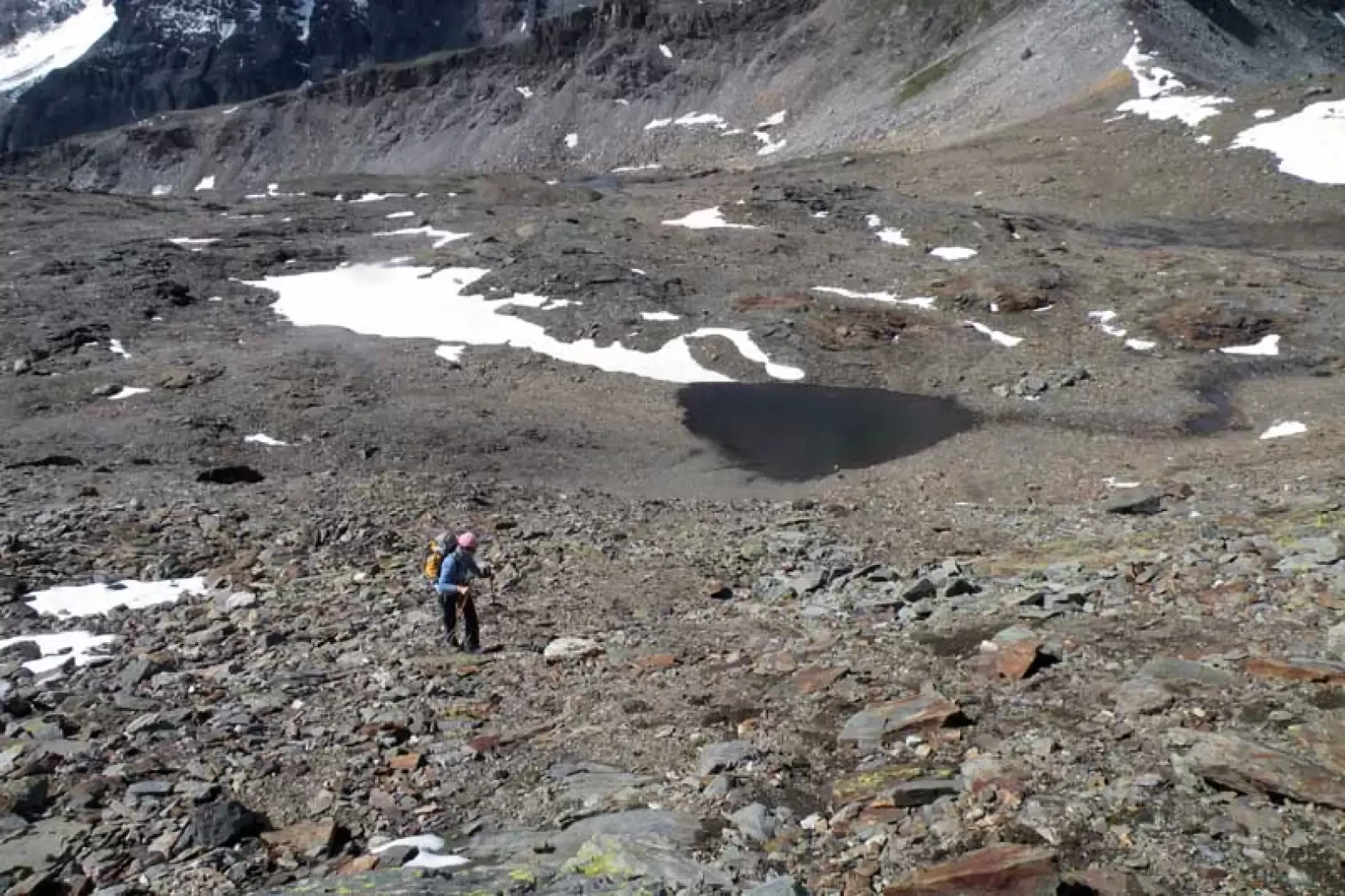
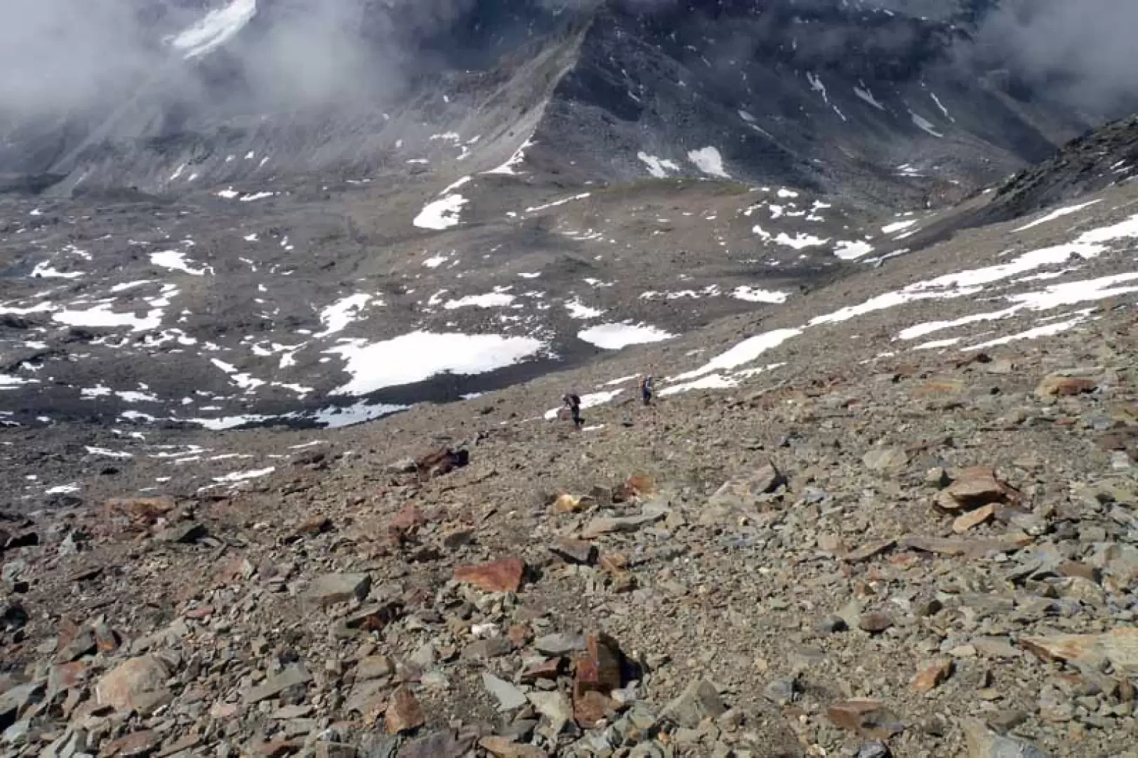
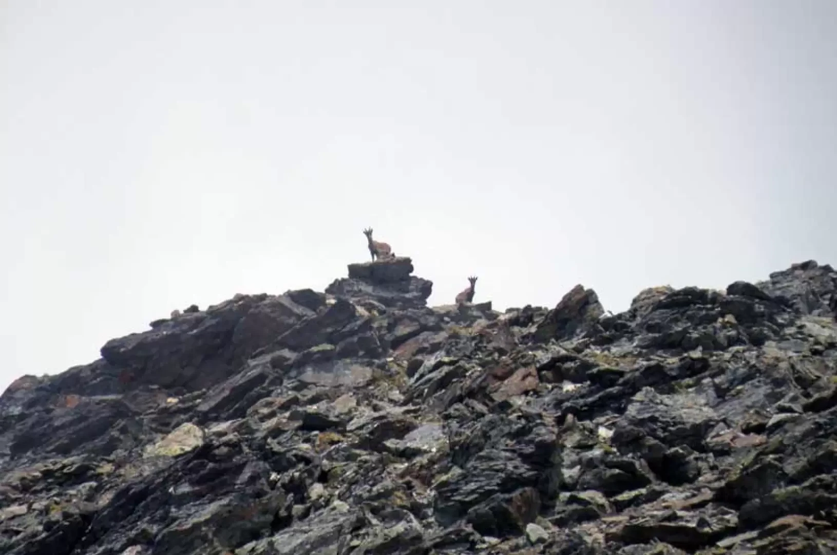
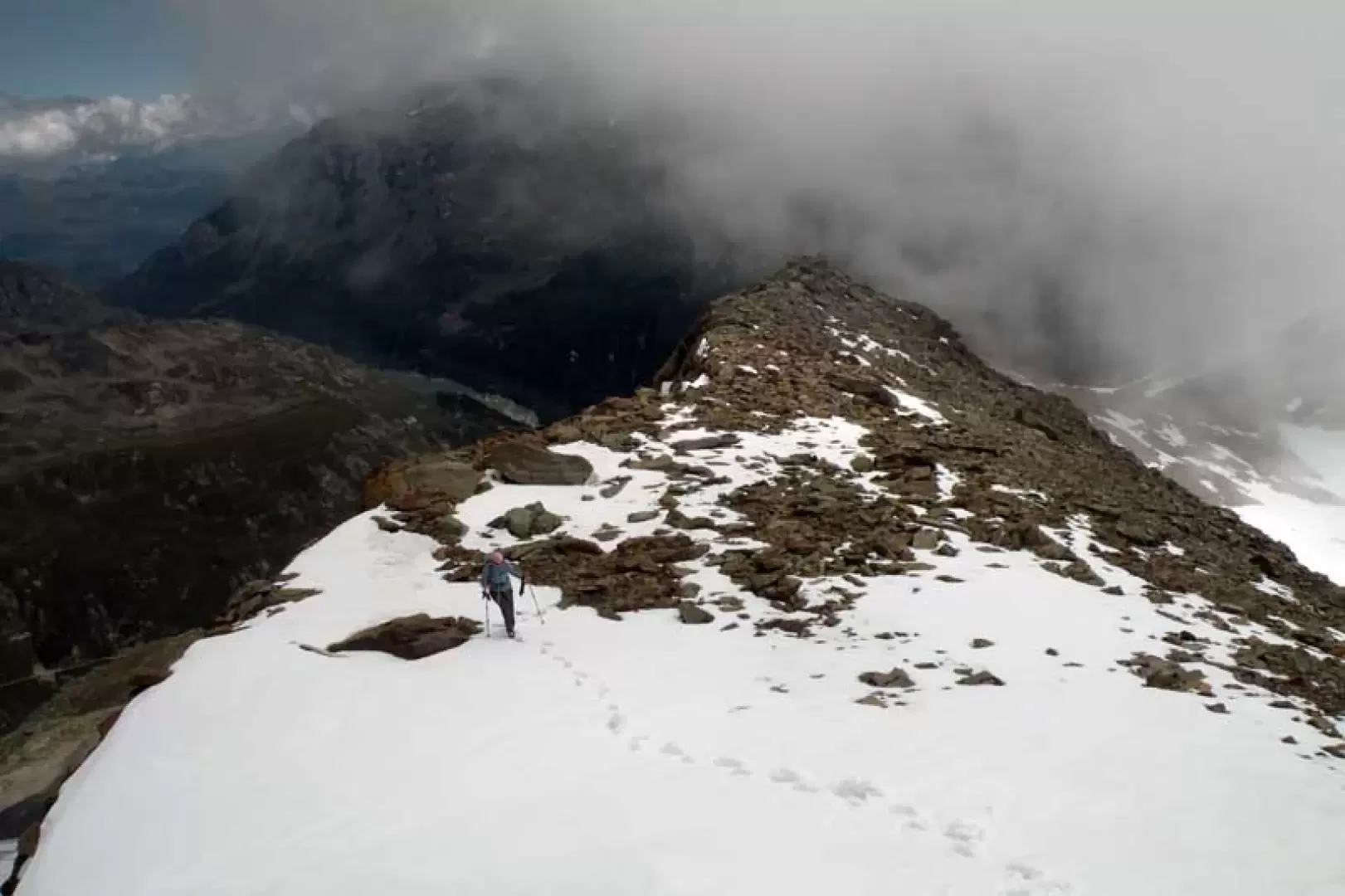
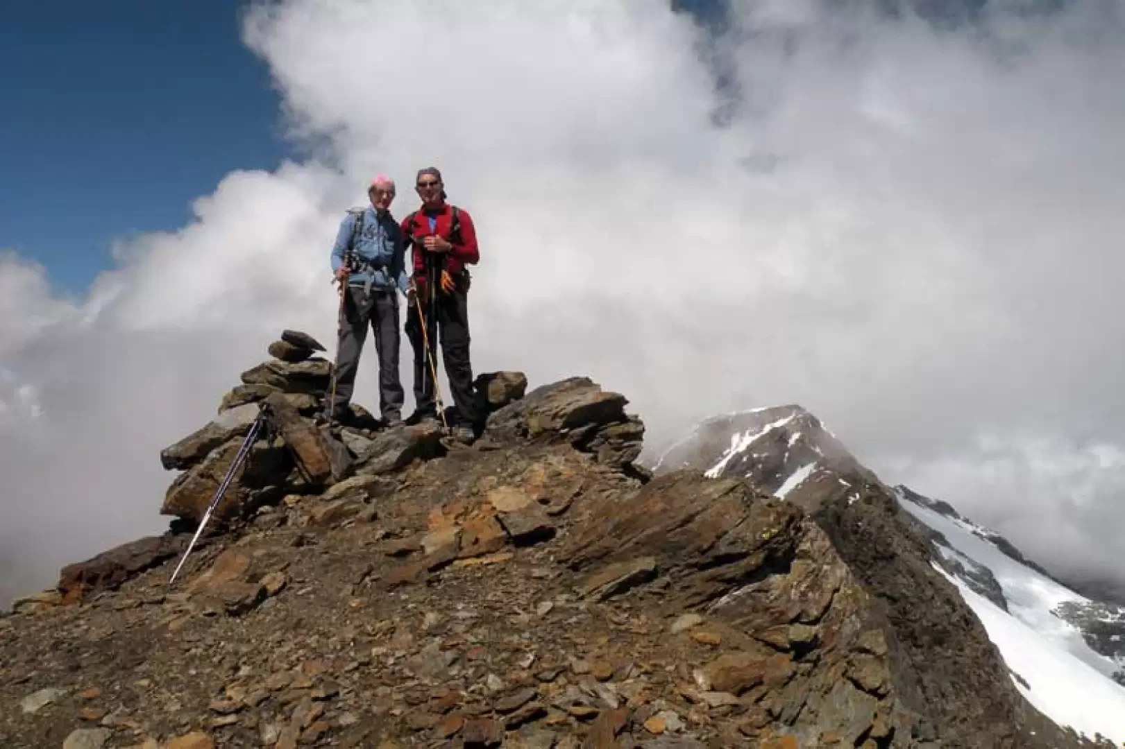
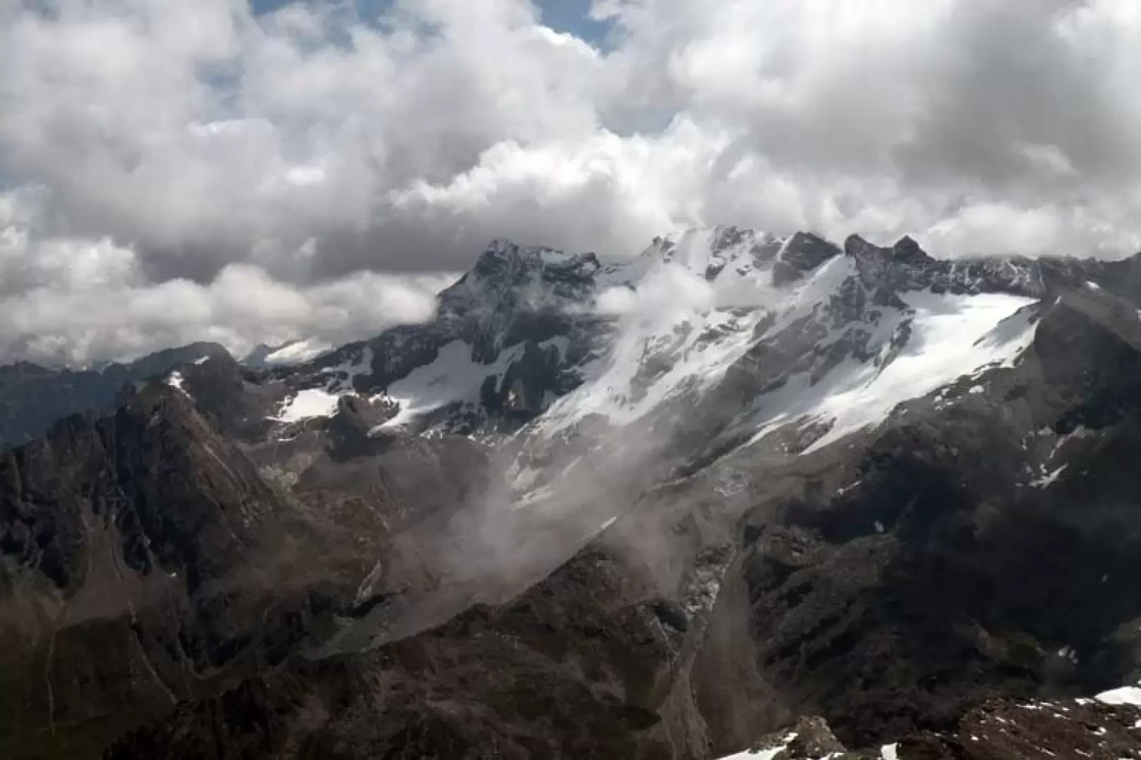
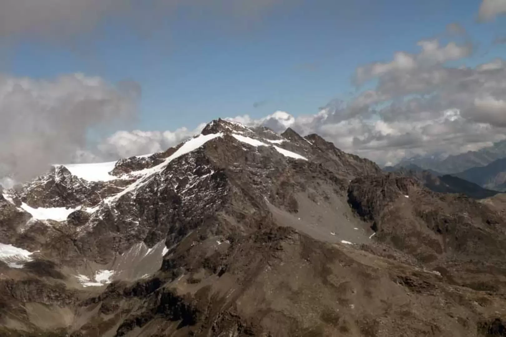
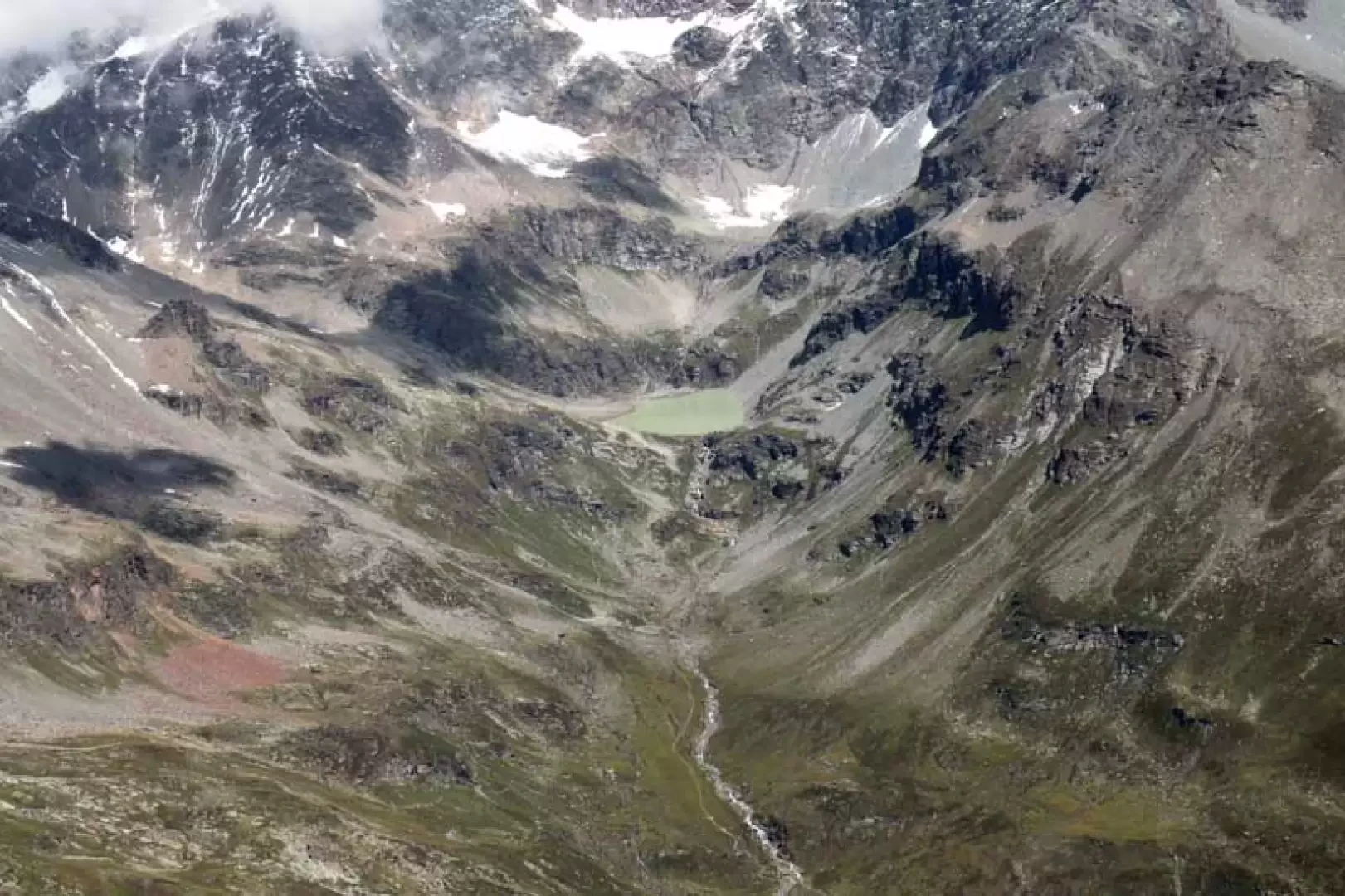
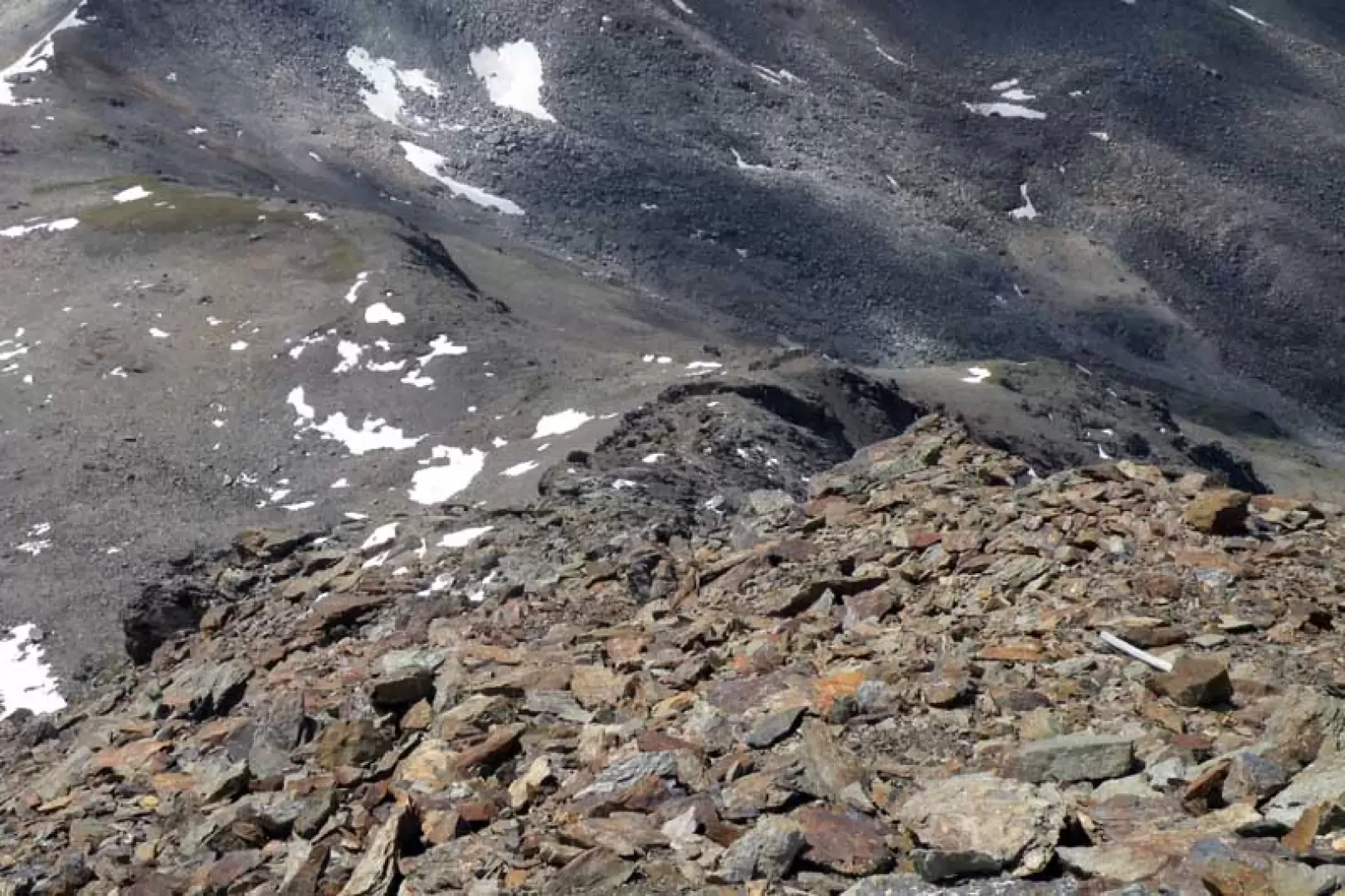
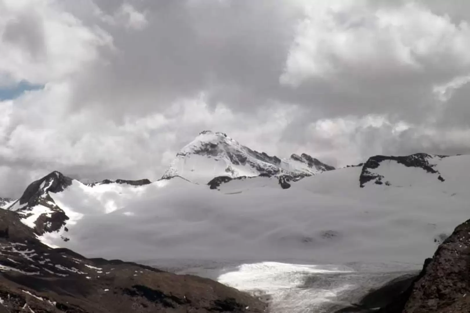
The long and strenuous ascent to this summit is recommended for hikers who are trained and accustomed to the progression on unstable and stony terrain, in addition to an already high altitude difference and a long climb (more than 22 km). The itinerary proposed here makes the ascent on terrain, albeit with a few traces of passage and a few rare stone cairns, that is a little bit rocky but less steep and therefore less tiring than the ridge that rises not far from Col du Lac Noir on terrain that is a little more stable but much steeper: the ascent can also be made from this ridge and the choice of route is entirely up to the hiker. The difficulties begin, however, from the end of the path to the summit but there are no exposed sections and the only objective danger is slipping stones during the ascent. The panorama from the summit is exceptional over all the other peaks of the upper Valgrisenche, starting with the nearby Becca di Suesse with its beautiful icy chute, Ormelune and Rutor to the others from Grande Rousse to the glaciers of the upper valley; the Lac du Fond and the other lakes on the French side can also be seen. Description A little further on from the car park, you will find the itinerary signposts that take you onto the track that runs almost straight and with little slope through the wide valley, soon arriving at a crossroads, where the track turns left to continue straight ahead. You pass by the old, semi-destroyed pastureland of Tsalé (1932 m) and then, after crossing a small stream on a bridge, you come to a crossroads where you will find some posts (2024 m) and where the track ends; Here, in order to shorten the route a little without reaching the Bezzi hut, it is best to detour to the right, descending towards the Dora di Valgrisenche, which you cross over a bridge and continue on a wide mule track that crosses the old huts of Saxe Ponton (2052 m). Continuing on the evident track, go past a small pylon of the service cableway of the Bezzi hut and continue on a slight slope halfway up until reaching a low grassy rib between two streams (2275 m) to which you ascend to the right on a faint track that climbs it towards a large isolated boulder. A little above, you reach the path coming from the refuge (if you wish, you can continue for a few dozen metres and reach the junction with the path coming from the refuge, at which point you turn right) and turn right, passing by a ruin (2375 m). Now take a long traverse that climbs up a slight slope between the steep grassy slopes, crossing a few streams and reaching a low promontory where, bending slightly to the left, you enter a long valley at the bottom of which is the Vaudet pass; you enter it almost immediately passing the stream and, climbing on the orographic left, you pass a few grassy humps arriving at a crossroads well indicated by a yellow stone (2629 m) at which you turn right. Here, too, you skirt the slopes of a small peak and enter the solitary Comba du Rocher Blanc, parallel to the previous one, continuing on the path that reaches the vicinity of a large boulder (2722 m) where the last yellow paint marks of the itinerary are to be found; following the little stone cairns, walk towards the bottom of the valley on the path that approaches the Col du Lac Noir but, without reaching it, turn right at an altitude of about 2849 m, leaving the track and continuing on easy scree. Continuing on towards the stony rampart in front of you, you pass a small lake, after which you begin to climb up it laboriously on steep terrain of fine detritus and loose stones. When you reach the summit, turn left and, with less of a slope, head towards another stony rampart, which you climb up at first by a traverse and then, keeping to the right, with a somewhat steep climb you reach the wide ridge. Now turn left and head for a short gully of scree, bordered by two low rocky ridges, which you climb up again with difficulty until you arrive just below the summit on more stable ground and, keeping to the left, take advantage of a few ledges and easily climb the last few metres that separate us from the little stone cairn on the summit. To return from the summit, take the steeper and rockier south-west ridge, which at first glance appears to be demanding but offers more stable rocky terrain and the presence of a few traces of passage; start the descent, zigzagging between the rocks, remaining more or less always on the edge, with a little help from your hands, to arrive where the slope decreases noticeably and, after passing a couple of bumps, arrive at Col du Lac Noir. From here a track starts to the right that, with the help of a few cairns, takes us back to the point where we turned off on the outward journey and then return along the upward route.Photo gallery
© 2021 - Giancarlo Beretta
© 2011 - Giancarlo Beretta
© 2011 - Giancarlo Beretta
© 2011 - Giancarlo Beretta
© 2011 - Giancarlo Beretta
© 2011 - Giancarlo Beretta
© 2011 - Giancarlo Beretta
© 2011 - Giancarlo Beretta
© 2011 - Giancarlo Beretta
© 2011 - Giancarlo Beretta
© 2011 - Giancarlo Beretta
© 2011 - Giancarlo Beretta
© 2011 - Giancarlo Beretta
© 2011 - Giancarlo Beretta
© 2011 - Giancarlo Beretta

© 2011 - Giancarlo Beretta
© 2011 - Giancarlo Beretta
© 2011 - Giancarlo Beretta
© 2011 - Giancarlo Beretta
© 2011 - Giancarlo Beretta
© 2011 - Giancarlo Beretta
© 2011 - Giancarlo Beretta
© 2011 - Giancarlo Beretta
© 2011 - Giancarlo Beretta

© 2011 - Giancarlo Beretta
Comments (0)
Sign in to leave a comment