The building is well maintained, but closed, and is located just below Pizzo d'Ormea, on the south slope.
Description
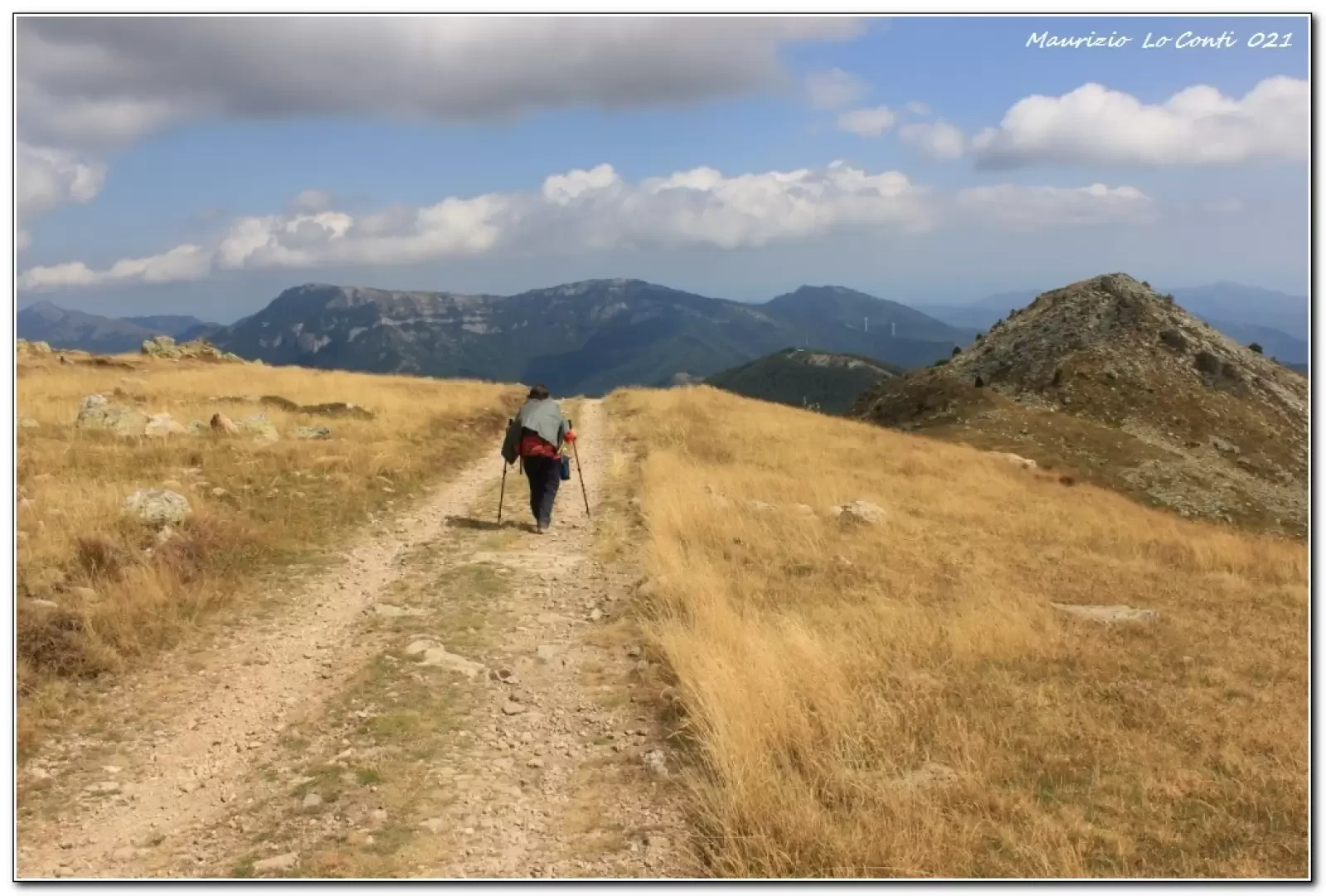
You ascend the forest road in its entirety, ignoring some shortcuts. You pass the San Giovanni chapel and the small Lao lake, the subject of a previous in-depth study. You continue to gain altitude until the end of the road and, in foggy weather, there are no precise reference points. Fortunately, it is only a few minutes and then there is the post that directs you to the bivouac. Straight uphill you go to Pizzo, but the relevant signpost seems to have been lost... With several ups and downs you reach the Valcaria refuge (2010 m). The building is not managed, so it is closer to a bivouac, which is also closed. It takes about 3h to get there.
Return to Quarzina via the morning route in 2h30.
In summary: discrete day 750 m descent - Dif. E - 15.5 km for approx. 5h30 Total (3h out and 2h30 return) + all the breaks to see the various sights. Average walking time: fair
NB: in the event of an excursion, always check with FIE, Cai, any park authorities or other institutions, pro loco, etc., that there have been no changes that have increased the difficulties! No liability is accepted. This text is purely indicative and not exhaustive.
Signposts: CAI Type of route: a/r Recommended period: June, July, August, September, October Sun exposure: south Objective Danger:none Exposed Tracts:none Useful Equipment: normal day hiking equipment Water: n.r.
Bibliographic references
Road access
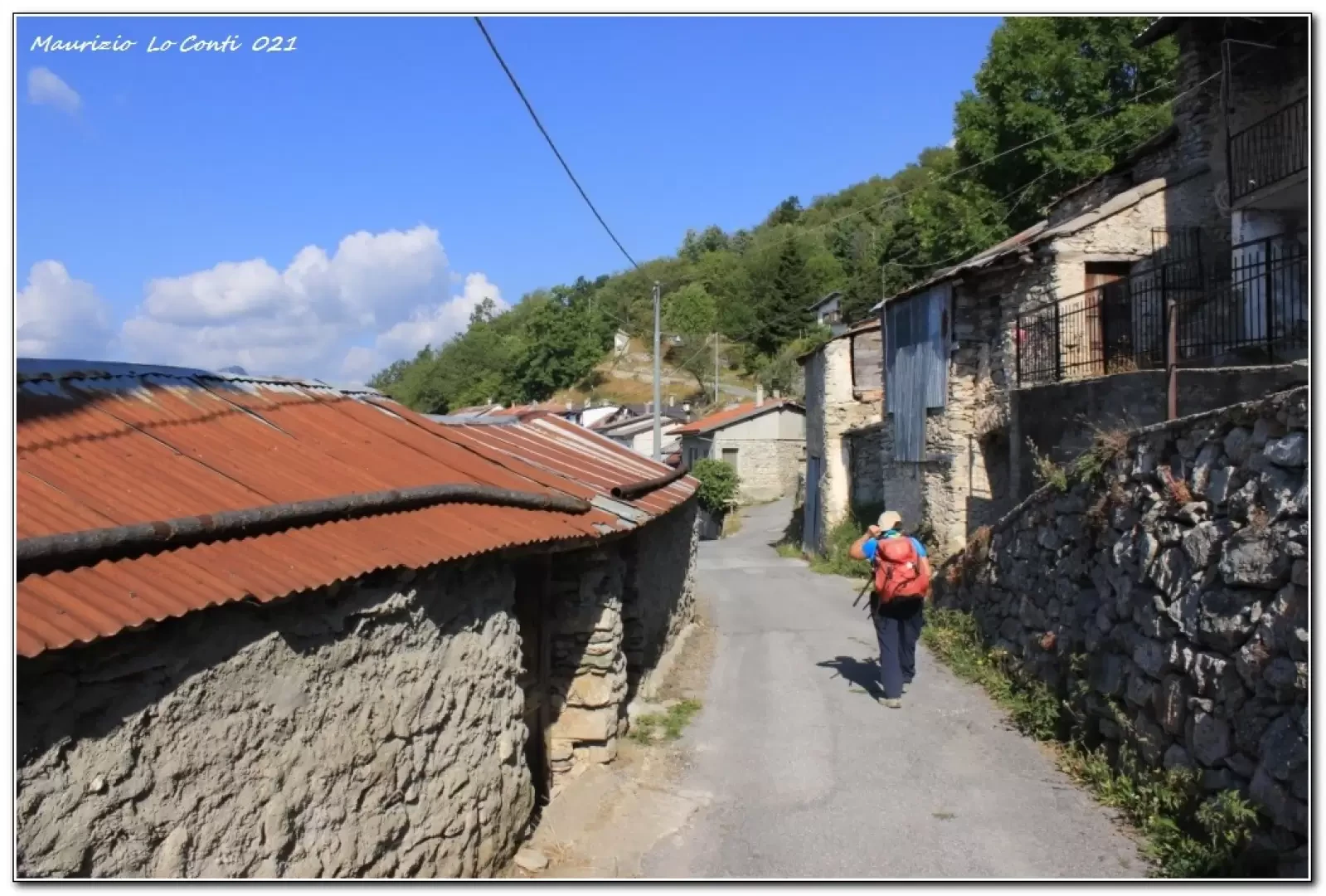
In Val Tanaro, just beyond Ormea (Cn), turn right and leave your car at Quarzina 1332 m (few places available).
Photo gallery
Introduction
The building is well maintained, but closed, and is located just below Pizzo d'Ormea, on the southern slope.
Description
You ascend the forest road in its entirety, ignoring some shortcuts. You pass the San Giovanni chapel and the Lao pond, the subject of a previous in-depth study. You continue to gain altitude until the end of the road and, in foggy weather, there are no precise reference points. Fortunately, it is only a few minutes and then there is the post that directs you to the bivouac. Straight uphill you go to Pizzo, but the relevant signpost seems to have been lost... With several ups and downs you reach the Valcaria refuge (2010 m). The building is not managed, so it is closer to a bivouac, which is also closed. It takes about 3h to get there.
Return to Quarzina via the morning route in 2h30.
In summary: discrete day 750 m descent - Dif. E - 15.5 km for approx. 5h30 Total (3h out and 2h30 return) + all the breaks to see the various sights. Average walking time: fair
NB: in the event of an excursion, always check with FIE, Cai, any park authorities or other institutions, pro loco, etc., that there have been no changes that have increased the difficulties! No liability is accepted. This text is purely indicative and not exhaustive.
Signposts: CAI Type of route: a/r Recommended period: June, July, August, September, October Sun exposure: south Objective Danger:none Exposed Tracts:none Useful Equipment: normal day hiking equipment Water: n.r.
Bibliographic references
Road access
In Val Tanaro, just beyond Ormea (Cn), turn right and leave your car at Quarzina 1332 m (few places available).