sentier des douaniers (3/4): Beaulieu sur mer - Cap d'Ail
: Beaulieu sur mer - Cap d'Ail")

Edited by:
Maurizio Bergamini
Updated at: 31/01/2026
Access
It departs from the port of Beaulieu-sur-mer, which can be reached from Nice by bus no. 600, still on the urban fare network.
To be precise, the stop is called 'Petite Afrique', a name that corresponds to that of the adjacent beach.
Introduction
Third part of the path from Nice to Menton along the seaside route.
Alternation of scenic and naturalistic stretches with others on asphalt that are not very pleasant
.Description
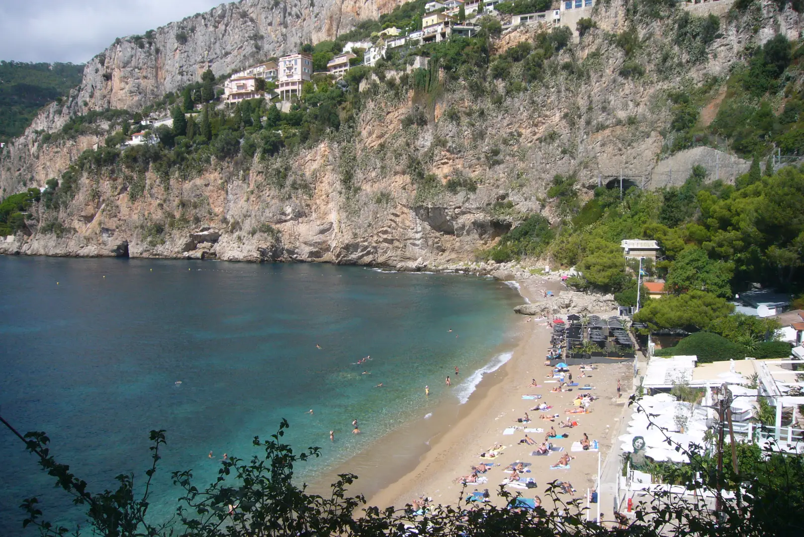
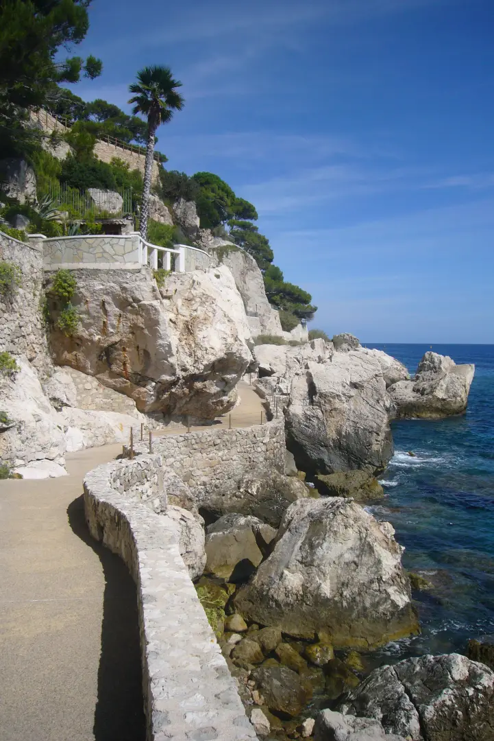
From the harbour, we head eastwards, past the tennis courts to one of the most famous corners of the resort: the Petite Afrique beach, sandy and naturally shaded (photo 1).
We climb up towards the carriage road, not before admiring the sumptuous villas that line the beach (one of which is/was owned by U2 leader Bono).
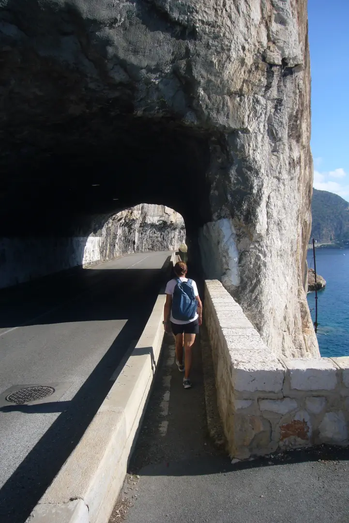
The first stretch begins on asphalt, which is not very rewarding. You pass under a mini tunnel and continue in the direction of Eze (photo 2). From Cap Roux, a beautiful panorama opens up over the small bay, overlooked by the village famous as an eagle's nest and already the subject of another excursion (see the Nietzsche path). You can descend to the water's edge or choose to continue along the paved road (known as the Corniche). In either case, the point of convergence is the railway station (Eze gare), where you must always follow the Corniche in an easterly direction.
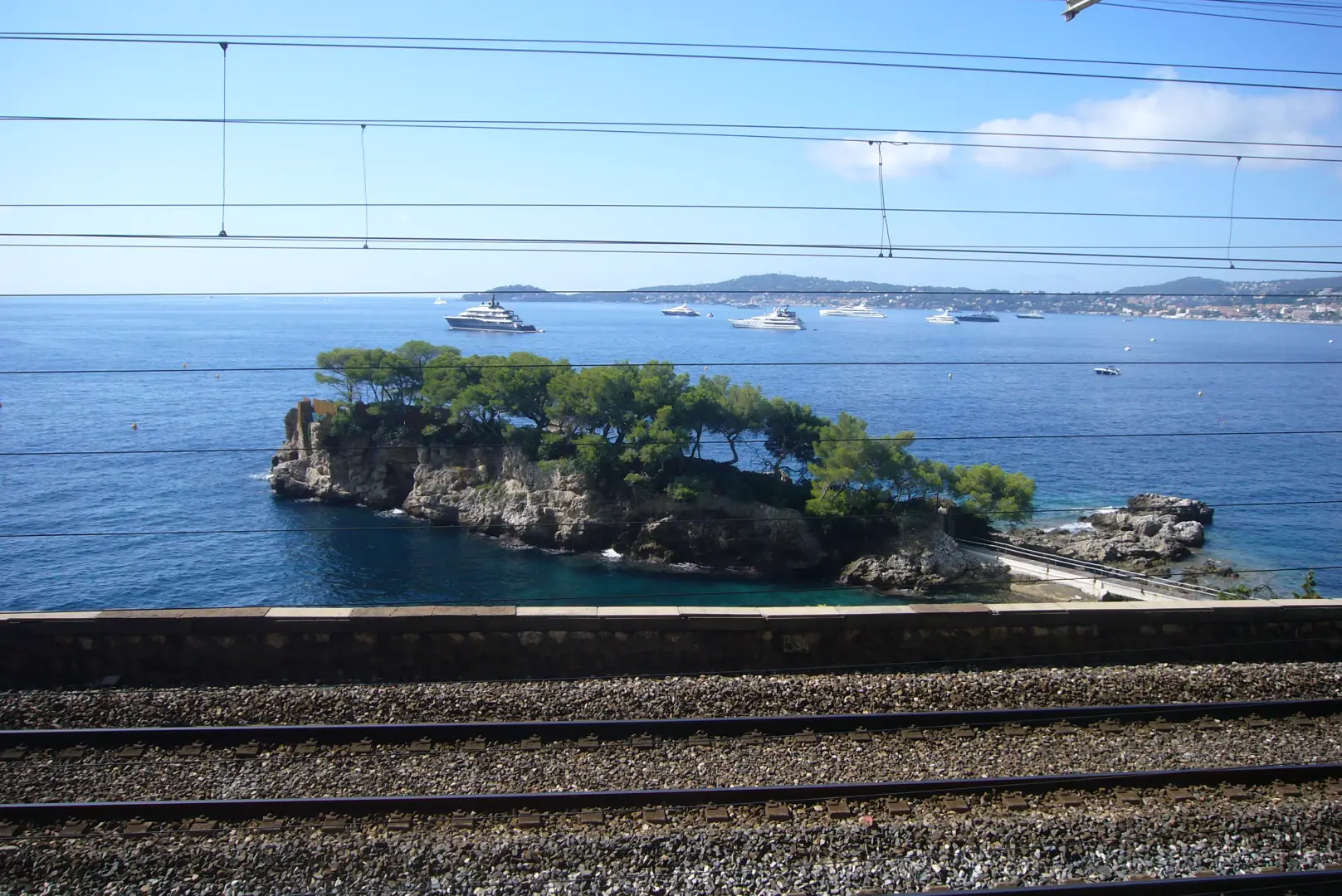
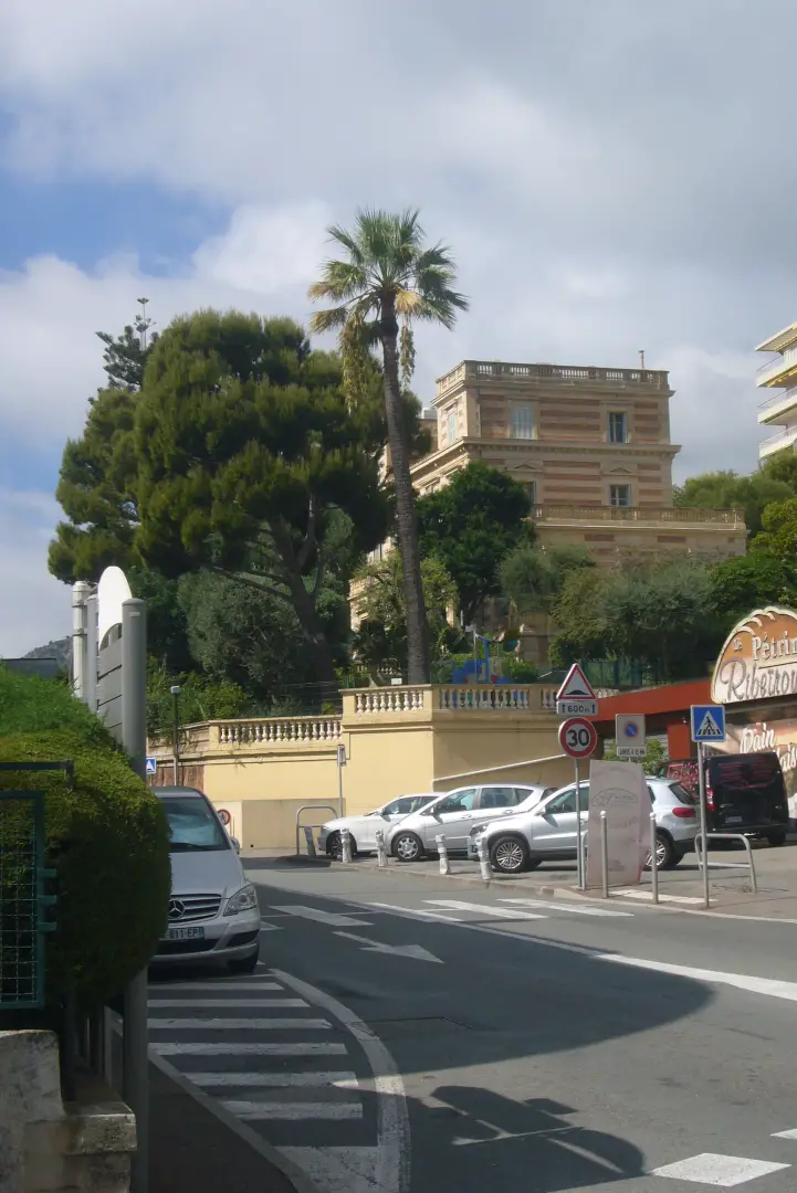
After a hundred or so metres, you will see the junction for the Nietzsche path, which goes up to the medieval village and its castle. Instead, we continue along the most unpleasant stretch of the whole day: a couple of kilometres on asphalt (possibly even red-hot) squeezed between traffic on the left and the railway parapet on the right. The only beauty: the mini-private peninsula of Villa Isoletta (photo 3), although the proximity of the railway spoils the poetry of the place.
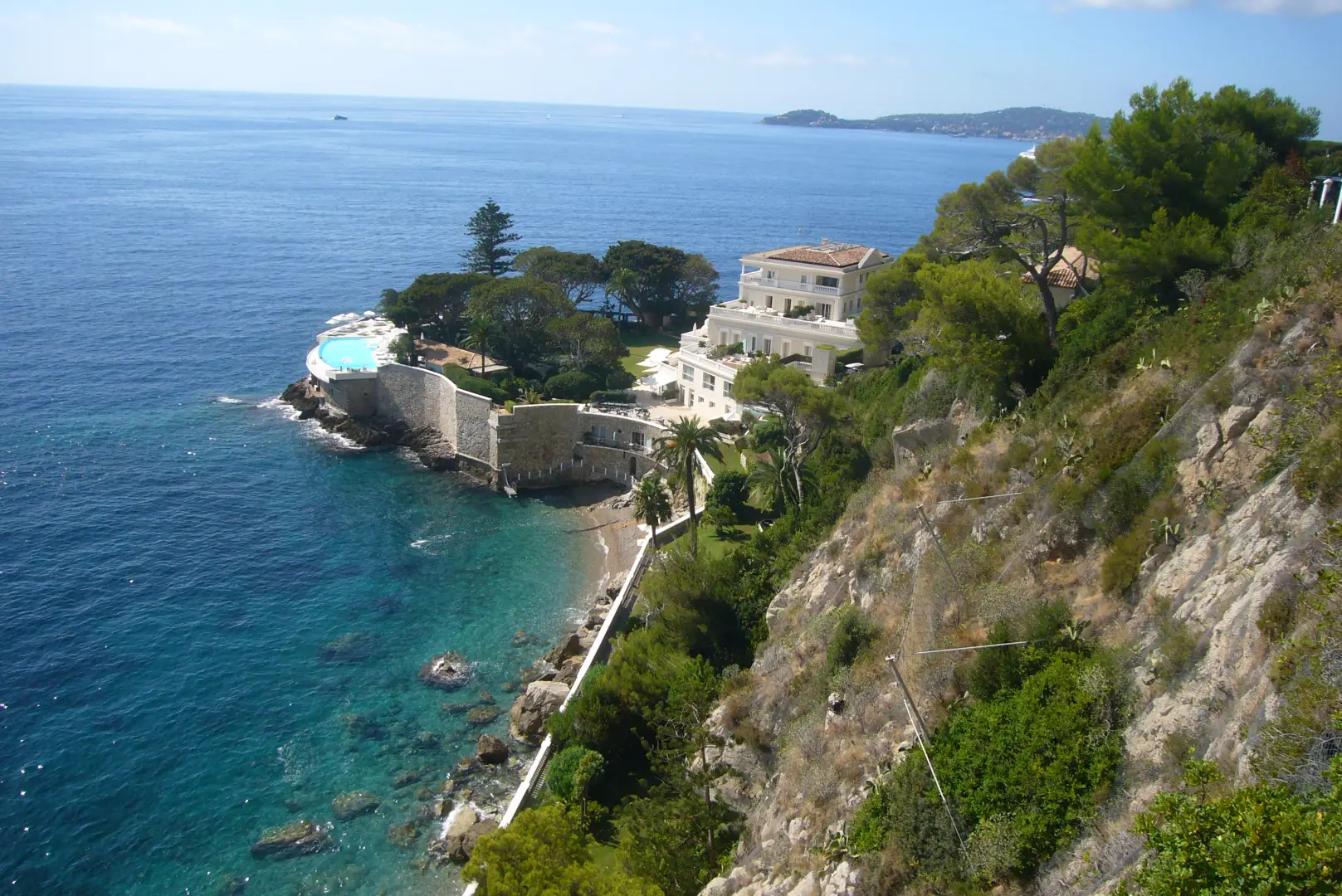
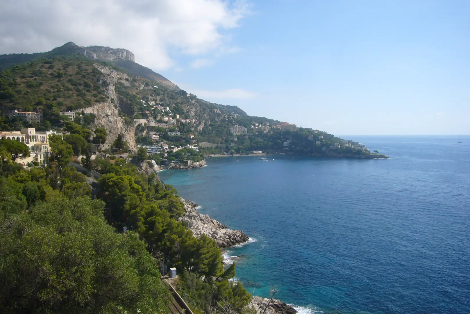
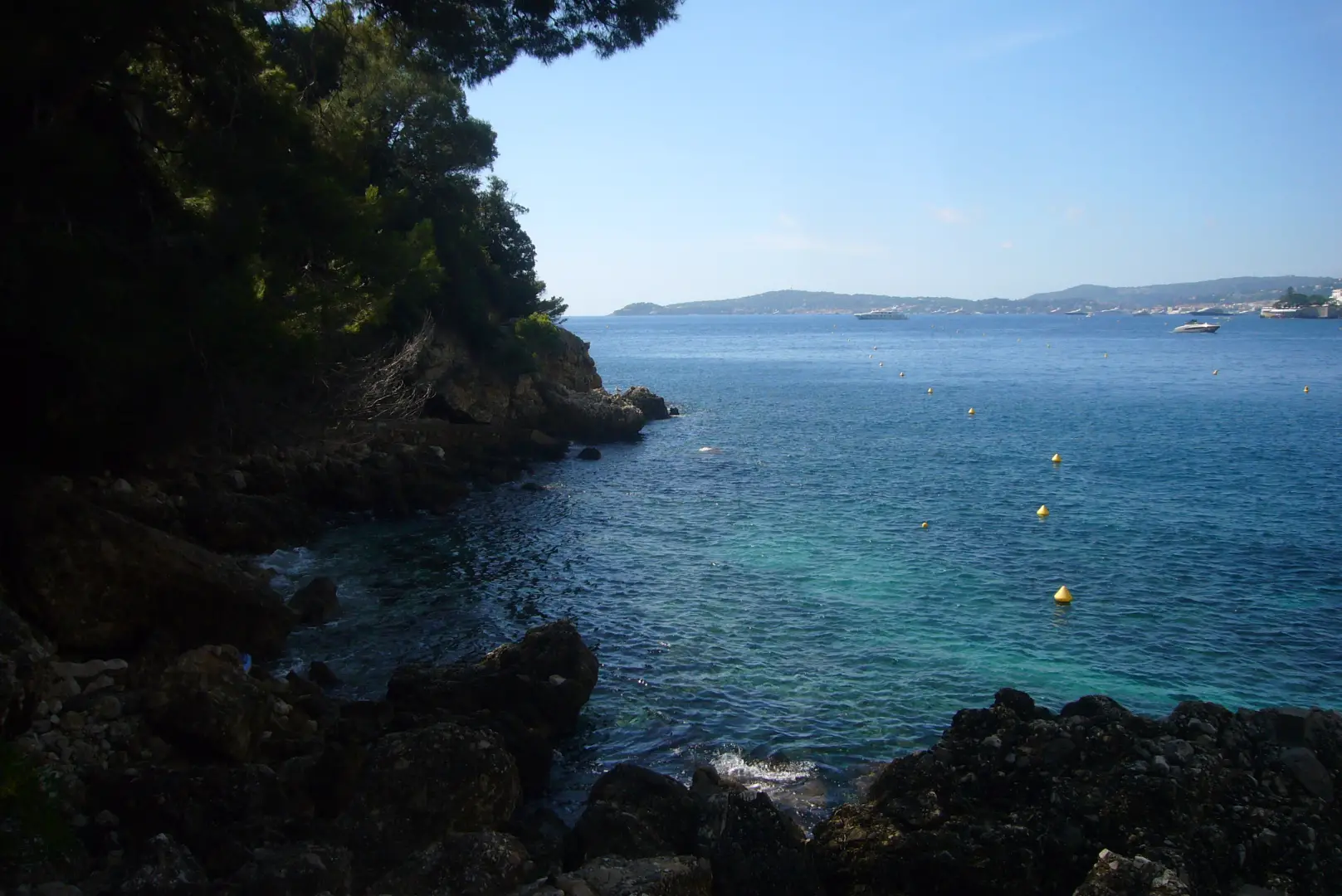
With a little patience, we reach the mouth of the tunnel that diverts the auomobil traffic to the left. We follow the road to the right, which was the only Corniche until 1970, when a large landslide interrupted it, which is why the by-pass tunnel was built. At last, a bit of relative silence and tranquillity, with the chance to spy from above one of the most exclusive hotels on the coast: the Hotel du Cap Estel (photo 4) also famous for its panoramic view that stops at Corsica! Looking to the east, we can see the unravelling of the coastline, which we will follow along our route (photo 5).
We return to the Corniche and the second tedious part of the day begins: the route follows the Saint-Laurent valley to the beginning of the small town of Cap-d'Ail, located at the other end of the U traced by the road.
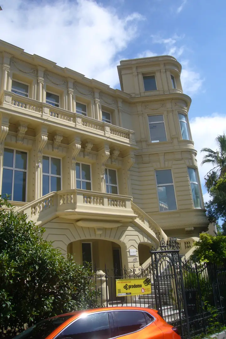
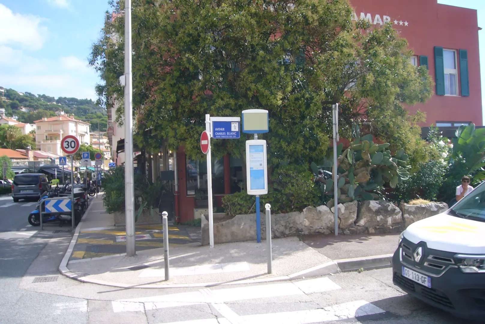
At the beginning of the town, upstream from the road we can see the Château des Terrasses (photo 6). A splendid 19th-century residence, it hosted members of the Russian imperial family and even Queen Victoria, their cousin. It is a pity that the overall picture is spoilt by filthy apartment blocks in perfect 1970s style. A few steps and on the uphill side you can buy baked goods for our snack, including a good pan bagnat, the typical sandwich stuffed with raw vegetables, olives, tuna, eggs and anchovies and washed down with olive oil. Opposite the bakery-pastry shop, our road down to the sea (photo 7) starts: the avenue Chalrles Blanc. It is a succession of splendid Belle Epoque villas. We point out the one belonging to the Lumière brothers (the inventors of cinematography) (photo 8) and, further down, the former residence of Baron Peauville (photo 9).
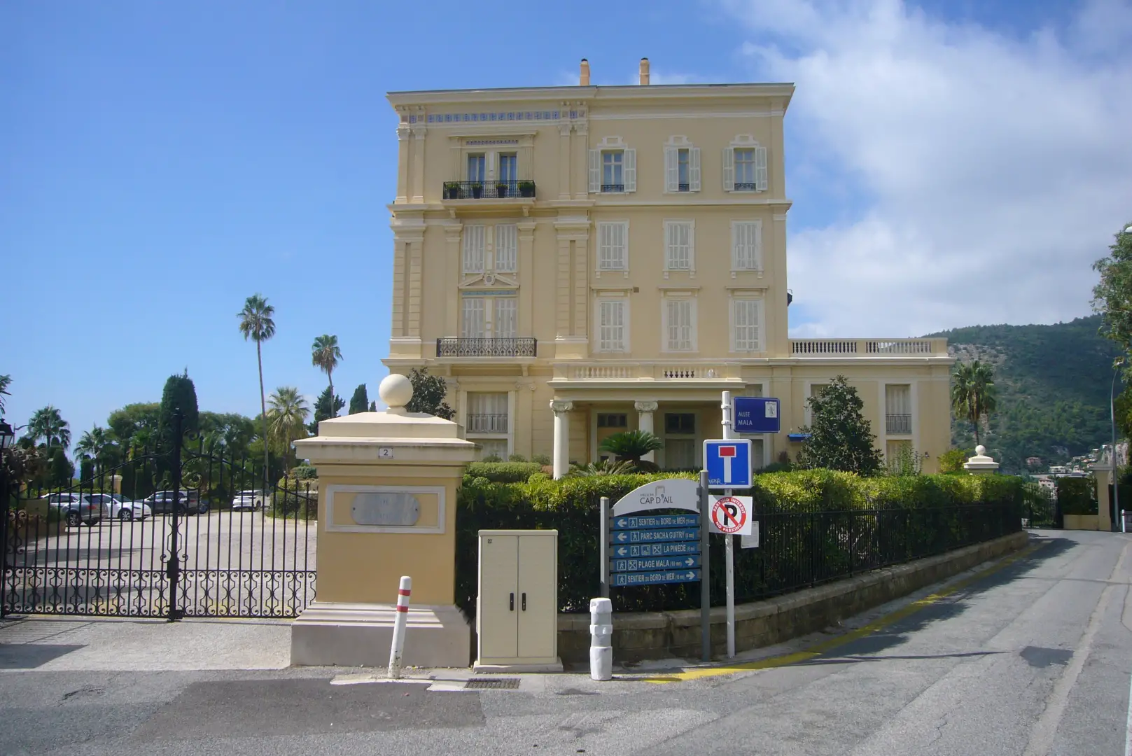
We follow the signs to the right which lead us to the Plage Mala and its two VIP restaurants. (photo 10) We leave the beach on the right and pass the rescue post. Here at last a bit of wilderness begins, with a short stairway in the forest overlooking the sea (photo 11). We reach Pointe Mala and its fake ancient ruin. It was here in 1596 that a ragged expedition of adventurers from Provence landed, intending to conquer and seize Monte Carlo. They were repelled by cannonade and were never heard of again...
Monegasques, however, continue to come here, as it is a favourite destination for their jogging.
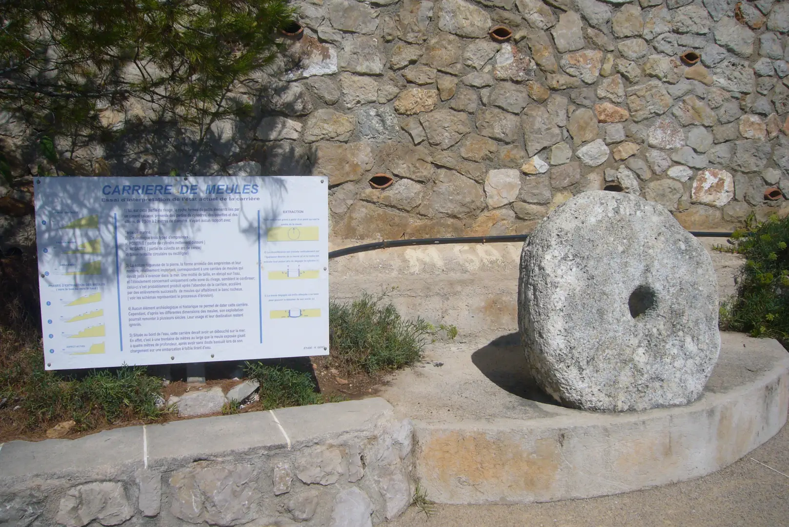
The path has been redone after the 2018 storm that destroyed large portions of it. You go between rocks and sea on the right and sumptuous villas on the left. We soon reach Carrière des Meules: a place where there is evidence of millstone mining in past centuries, which is curious, given that historically the surrounding area was not equipped with mills (photo12).
The villas follow one another, as do the stories of their owners: Villa Les Funambules, which belonged to Sacha Guitry (an actor, writer and playwright from the early 20th century); Villa Camélias, a favourite haunt of various writers including André Malraux and André Gide, now open to visitors as it is used as a museum. Villa Paloma, and next up the Cap Rognoso, villa The Rock, Greta Garbo's retreat and where the famous photos of the diva in the swimming pool were taken.
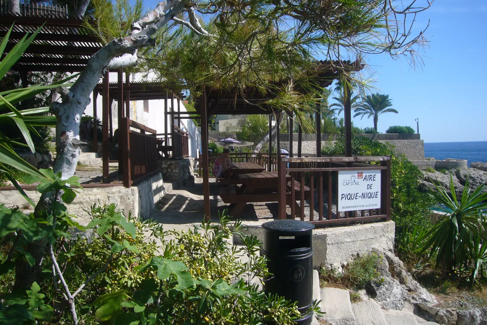
Along this stretch of the route, there is also a small oasis for a break: near the Michelin-starred restaurant La Pinede, whose tables overhang the cliff, there is a stop-off point for a free picnic in the shade (photo 13).
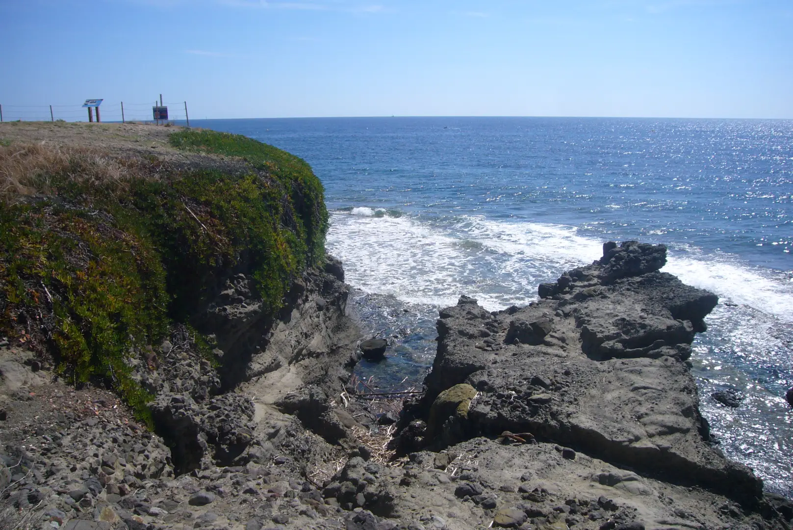
From villa to villa, we reach the Pointe des Douaniers (photo 14) where, looking towards the sea, we can make out the black volcanic rocks, a legacy of other geological eras when Corsica and Sardinia broke away from the continent. On the left, you can see the first buildings of the Principality of Monaco, the Fontvielle district (photo 15).
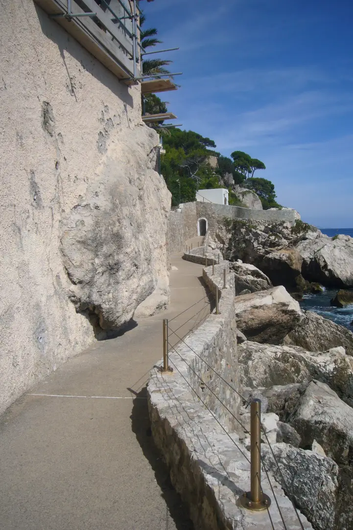
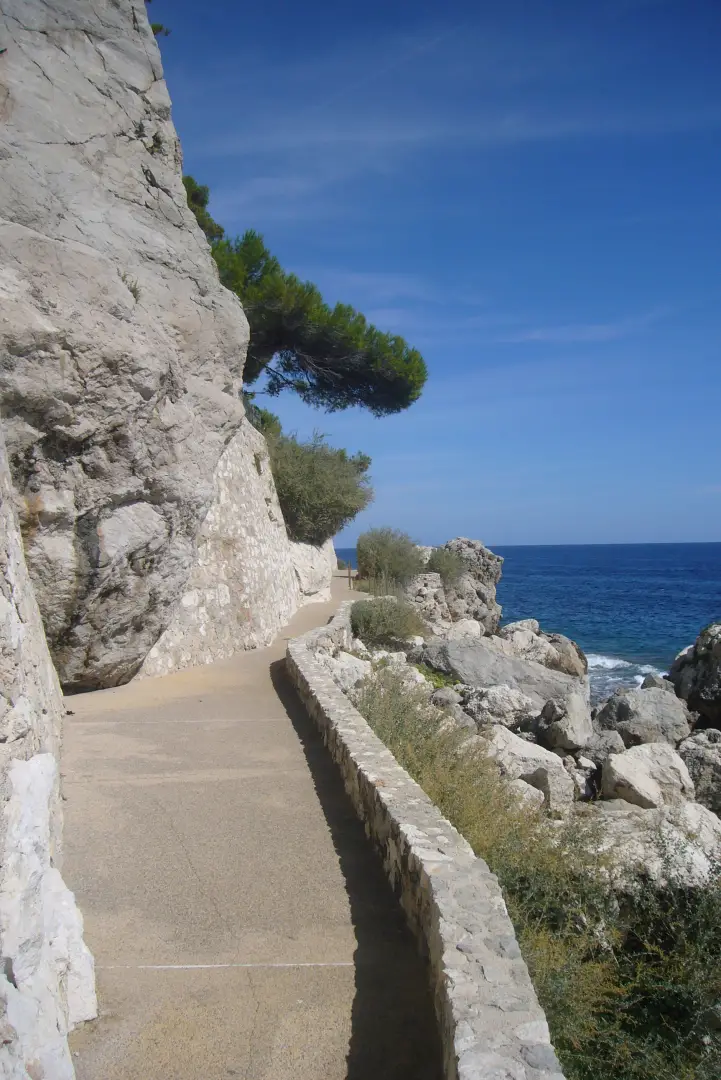
The path goes around the tip, rounds the Le Cabanon restaurant and its mini-beach and resumes the shape of a panoramic walk under the umpteenth villas of historic VIPs: the painter Folon, the Le Chien Bleu villa of the Carita sisters, founders of the cosmetics brand of the same name, and above all, after a kind of small door, La Capponcina, Winston Churchill's post-war refuge, when his political career was over and he was fighting the dark evil of the Depression: here he used to go down to the sea to swim and bring his easel to paint glimpses of the path, rocks and waves, so much so that even today you can take photos identical to what the former British Prime Minister painted (crowds permitting) (photos 16, 17, 18).
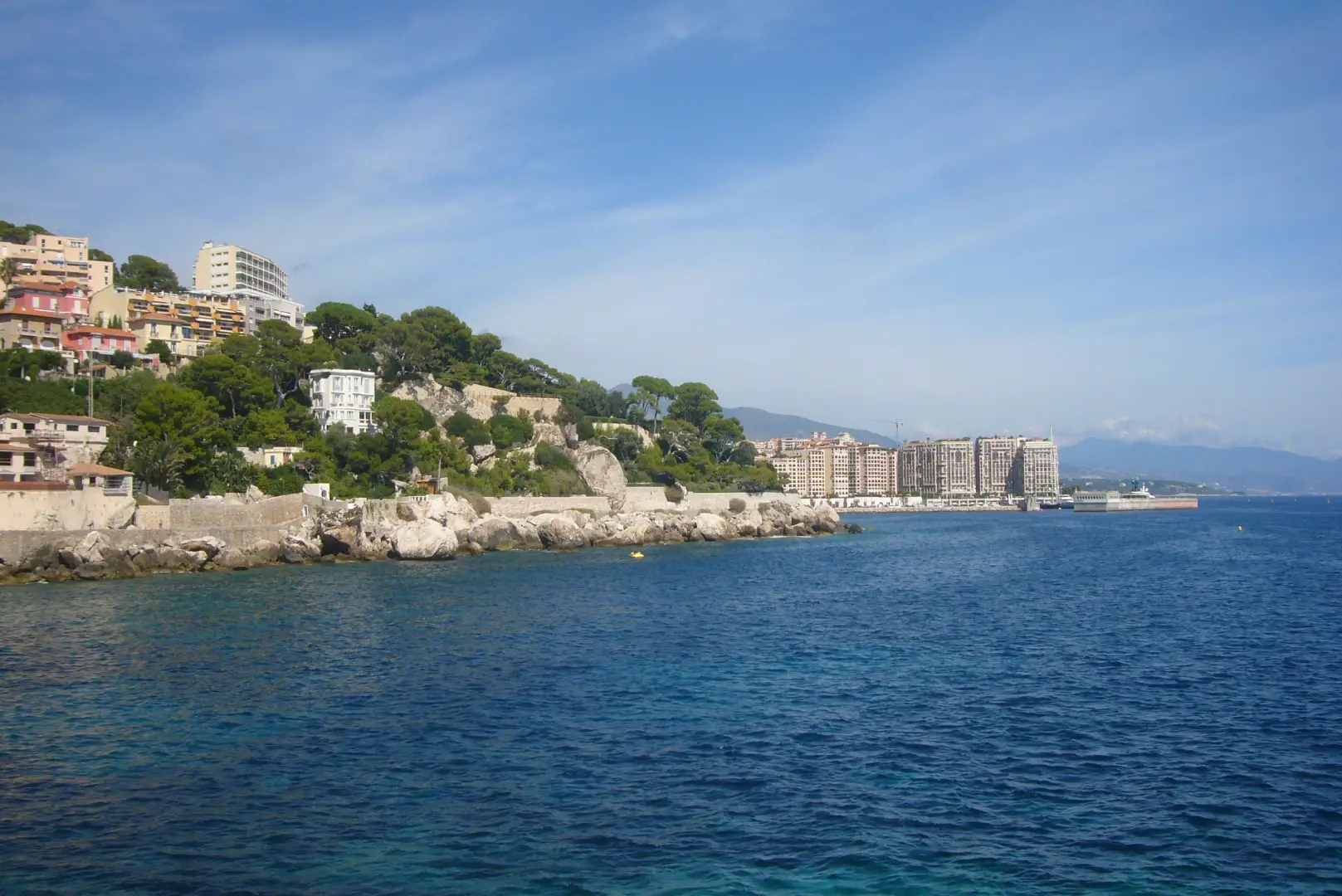
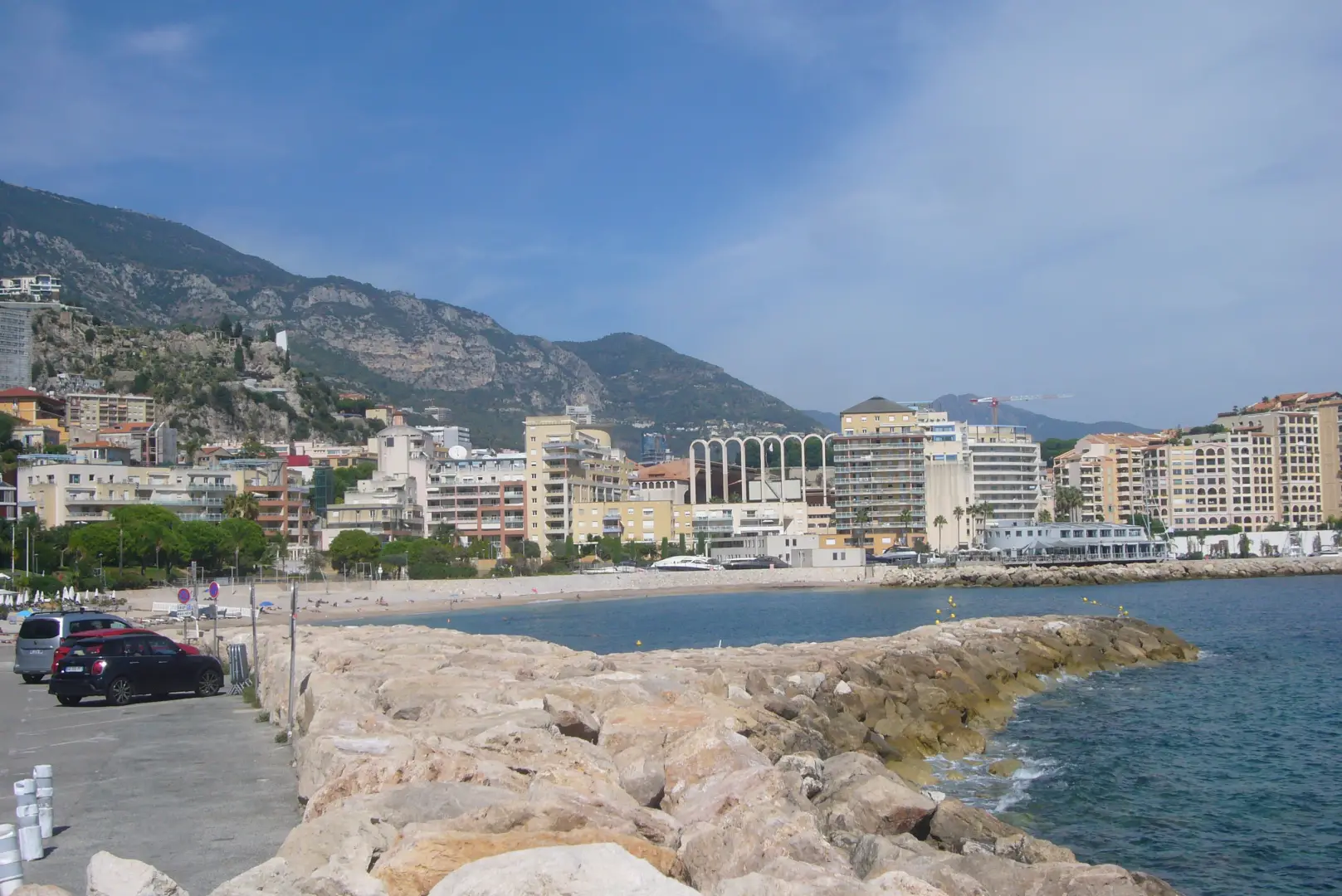
The walk ends shortly afterwards, arriving at Marquet beach, opposite the port of Cap-d'Ail and the arches of the Louis II stadium in Monegasque territory (photo 19).
To return to Beaulieu (or Nice), we follow the road around the beach to a glass tower containing a lift. Climb to the top and we are on the level of the Corniche. All we have to do is cross the road and queue at the first bus stop on the left: it is the first stop on French territory after Monaco and is already considered Nice's urban network.
.Galleria fotografica