Adlerhorn

Edited by:
Massimo Martini
Access
Access
Travel to the Mattertal and ascend to Berghaus Flue (2,618 m), the starting point for all documented routes to the summit.
Ascent routes
WNW ridge – from Berghaus Flue (2,618 m) - west-north-west face – PD+ – 4–5 hours
WSW ridge – from Berghaus Flue (2,618 m) – west-south-west face – PD - 4–5 hours
ENE ridge – from the snow saddle between Adlerhorn and Strahlhorn (approx. 3,920 m) – east-north-east face – F – 45'
The WNW ridge is recommended for the start of the season. If the ridge is icy, you can traverse right across the rocks and finish via the WSW ridge.
Introduction
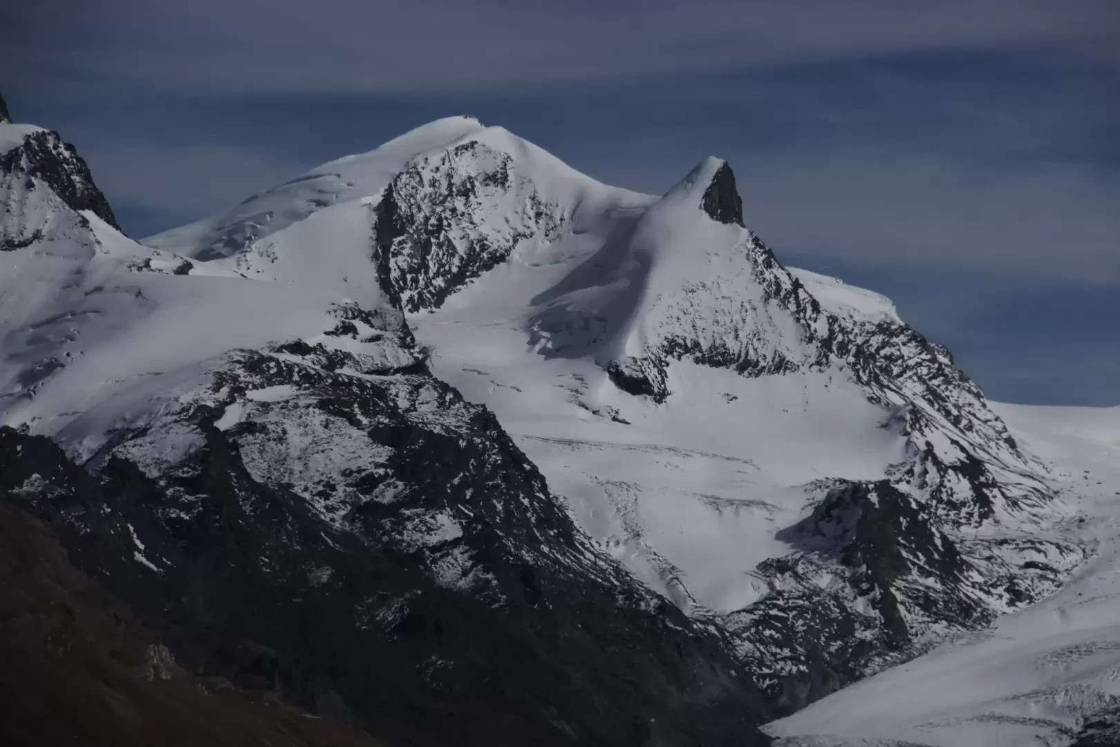
The Adlerhorn (3,988 m) is a mountain in the Pennine Alps, in the canton of Valais, Switzerland. It lies to the east of Zermatt, between the Mattertal and the Saastal, and forms part of the Strahlhorn Massif in the Mischabel and Weissmies Alps.
It lies immediately to the west of the Strahlhorn, of which it is a secondary peak, and is separated from it by a snowy saddle. It is a conical peak, partly snow-covered and partly rocky.
Description
The Adlerhorn is a small peak, partly snow-covered and partly rocky, with a prominence of 58 metres relative to the Strahlhorn. It is easily recognisable from the path leading from Riffelalp (2,211 m) to the Grünsee (2,300 m) and when ascending from Flue towards the Rimpfischhorn; from almost all other directions, it blends in with the Strahlhorn.
It projects two ridges to the west. The main ridge, covered in snow, descends west-north-west to point 3,536. The other marks the junction between the western and southern slopes and is largely rocky, except in the upper section where it merges with the first; at around 3,800 m it forms a small snow-covered shoulder, then descends west-south-west and ends in a spur on the right bank of the Findelgletscher (point 3,421), on the border with the Adlergletscher. The south-west face has an almost vertical summit structure, consisting of rock that appears solid, and has no documented routes.
The first ascent is attributed to C.C. Branch and August Lorria, who reached the summit on 26 July 1886 via the WNW snow ridge. In 1891, the Broke-Gould expedition traversed the south-west face diagonally whilst ascending the Strahlhorn via the south-west ridge, without reaching the summit of the Adlerhorn.
Information
General information
Altitude: 3,988 m
Mountain range: Strahlhorn Massif (SOIUSA: Mischabel and Weissmies Alps)
First ascent: 26 July 1886 – C.C. Branch, August Lorria
Municipalities: Zermatt
Valleys: Mattertal, Saastal
Climbing difficulty: PD (WSW ridge) – PD+ (WNW ridge)
Refuges
Berghaus Flue
Britanniahütte