Bivouac Forciolline, from Castello


Edited by:
vittorio beltrame
Updated at: 17/03/2026
Access
Introduction
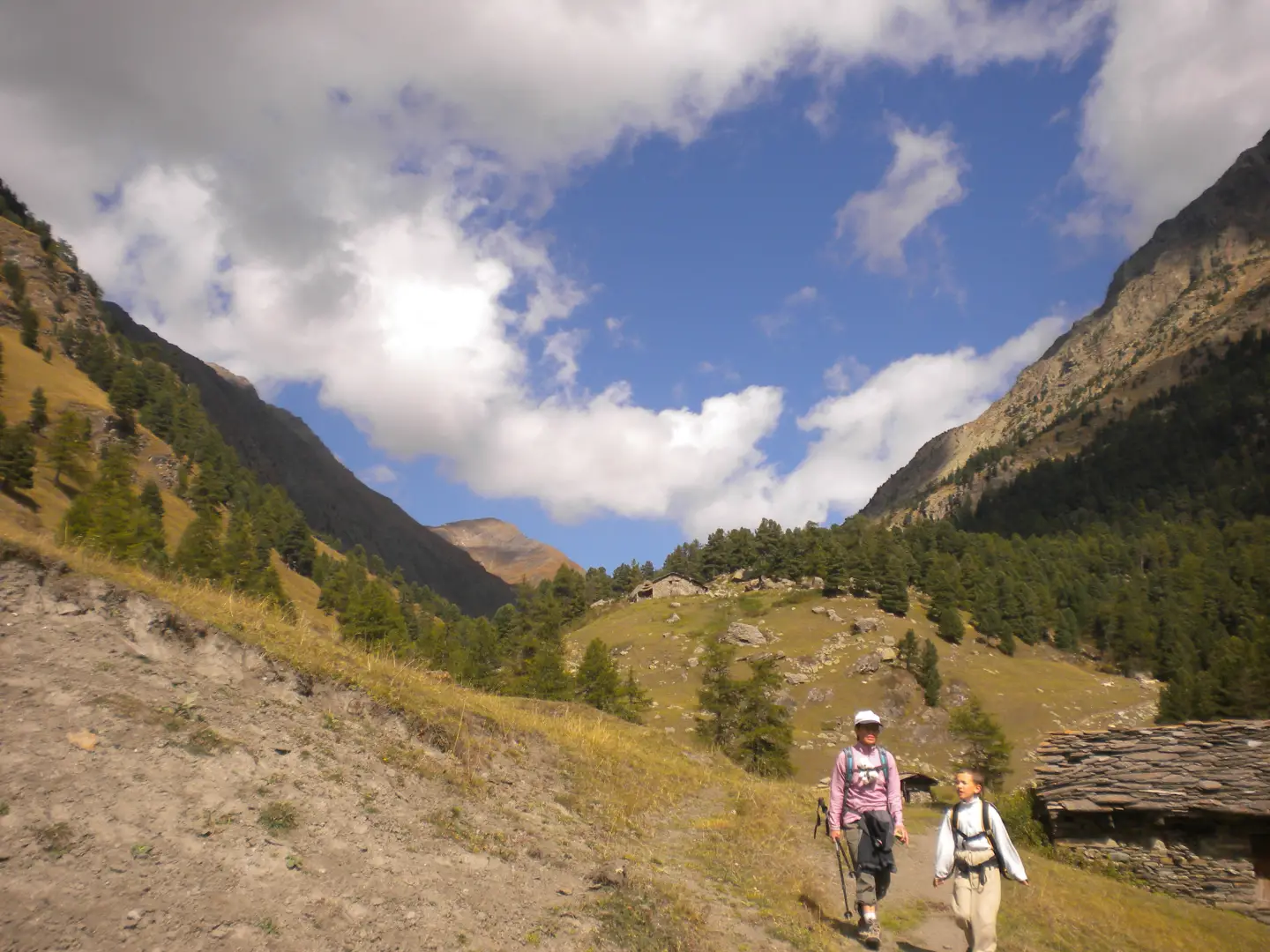
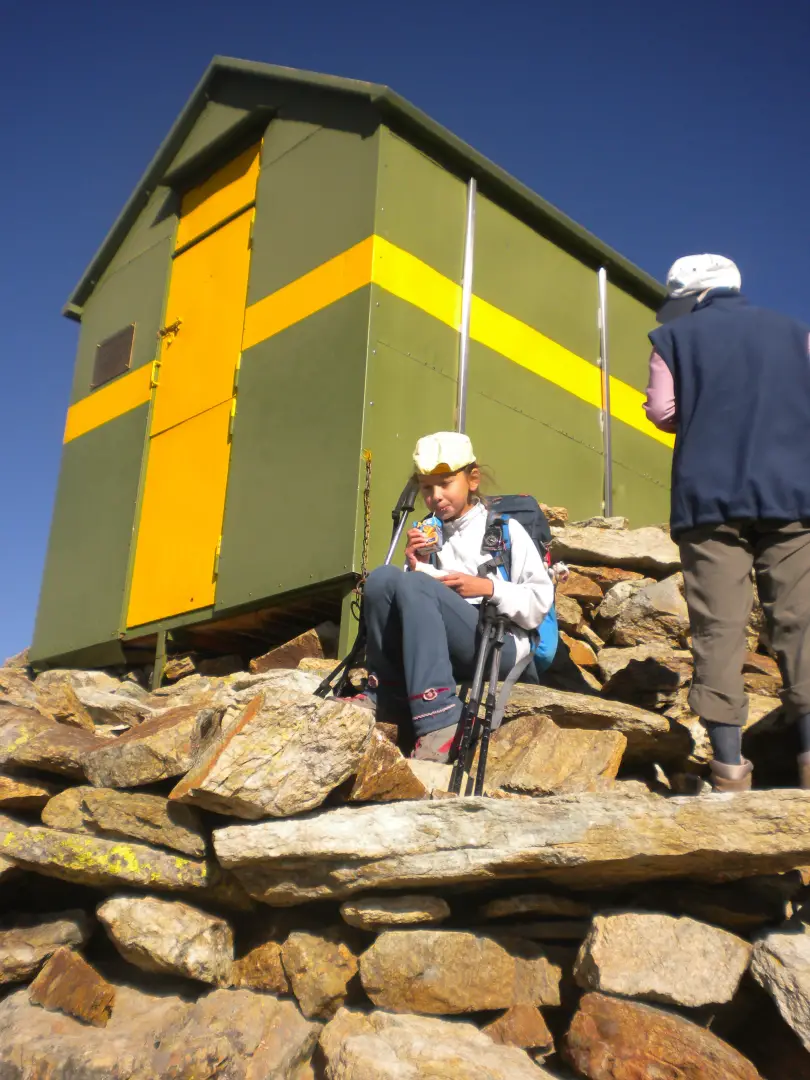
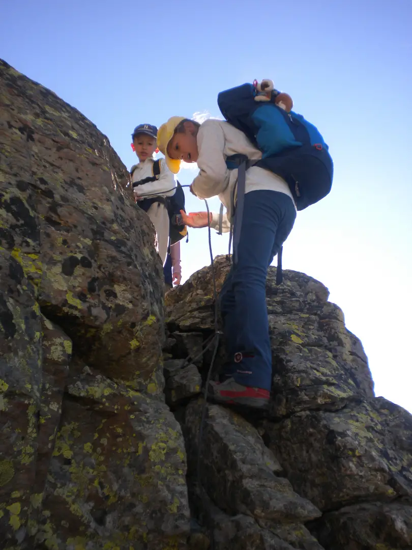
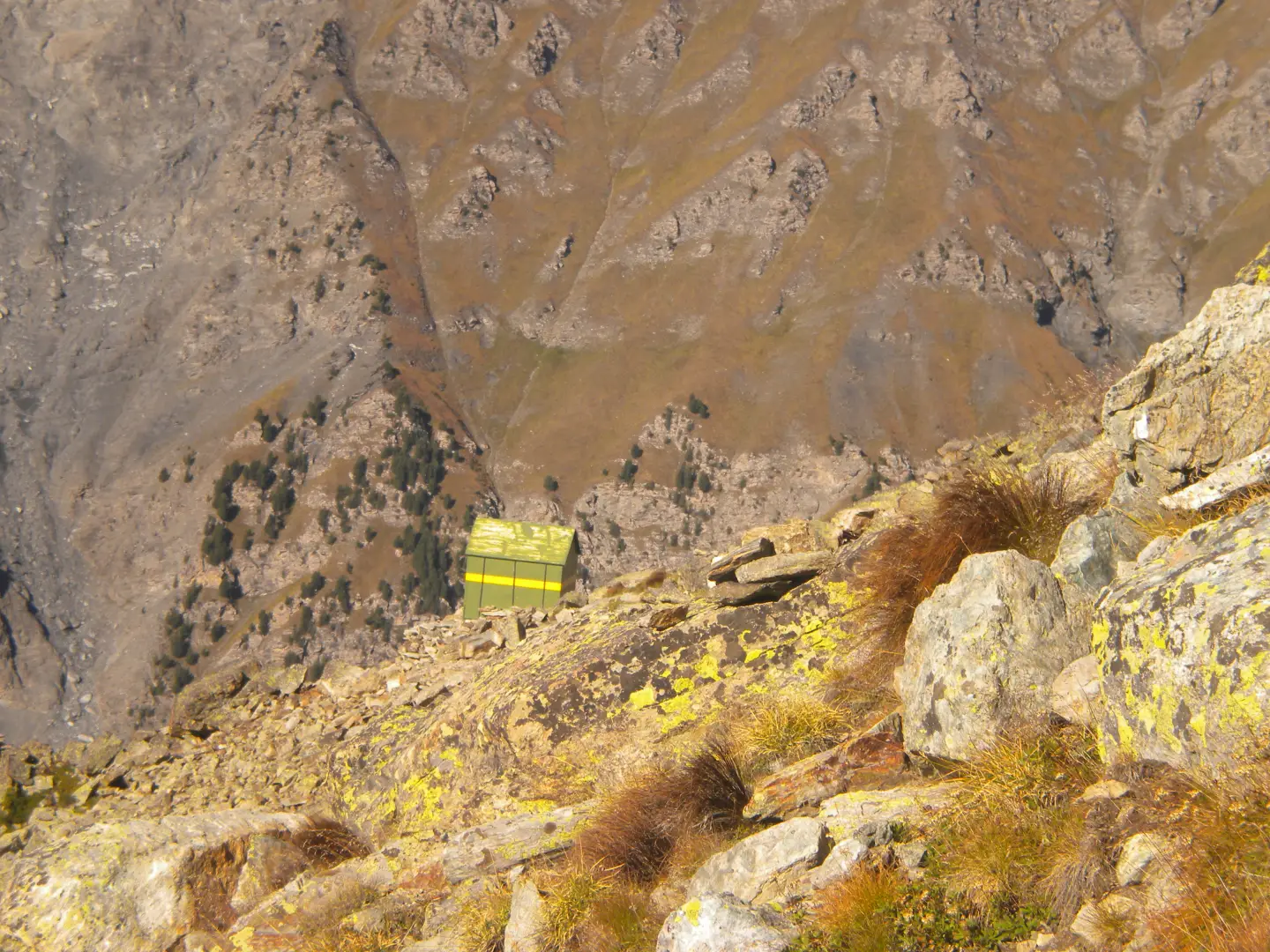
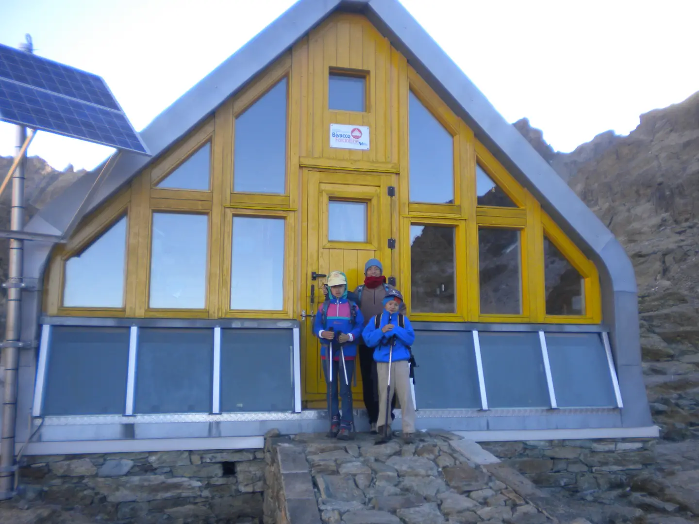
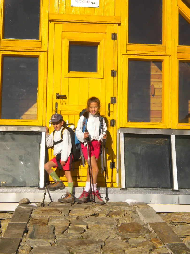
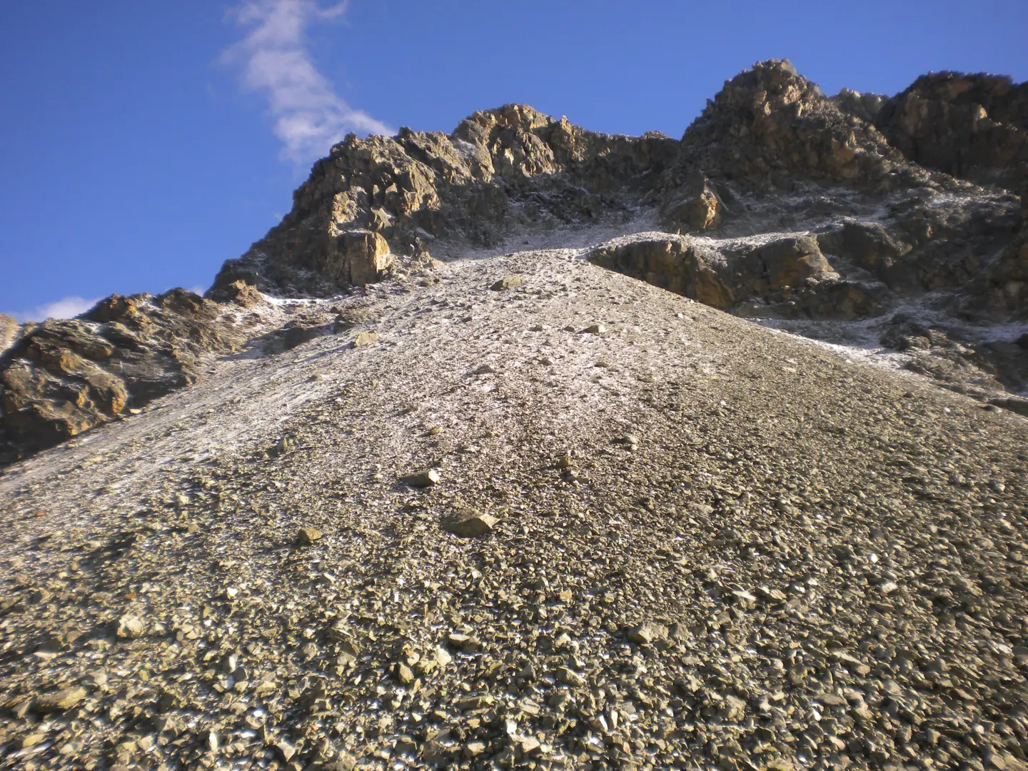
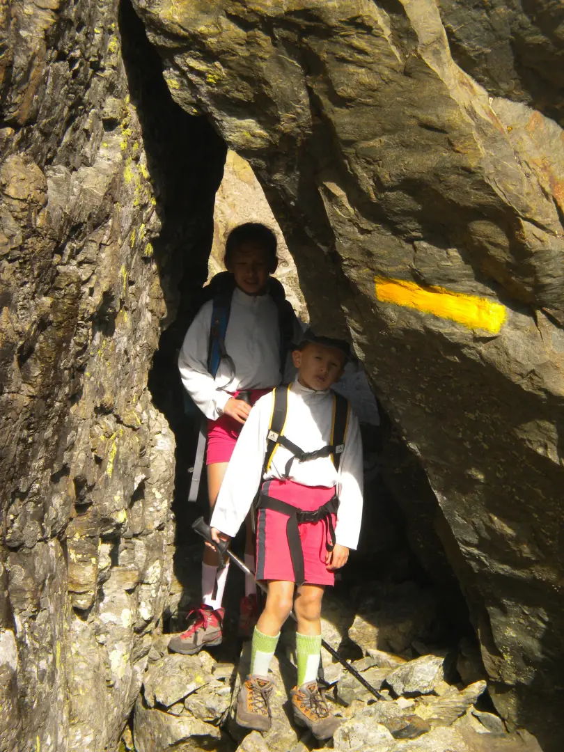
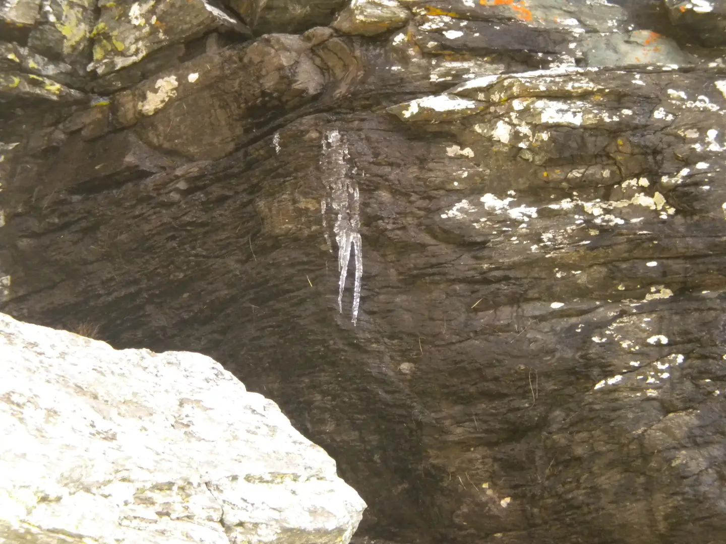
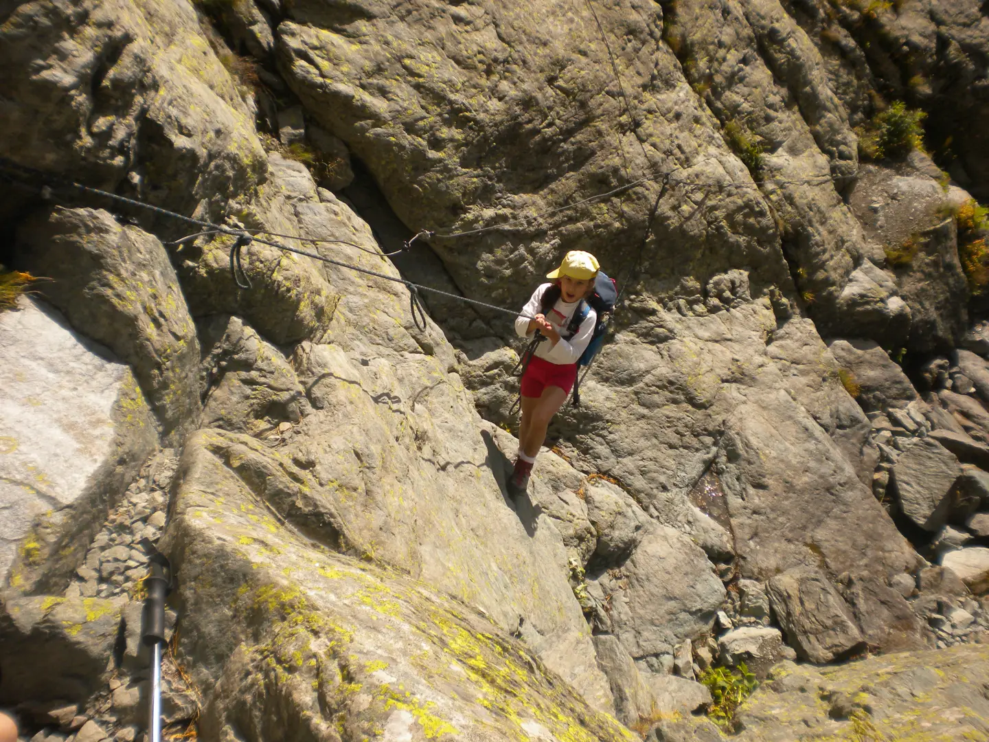
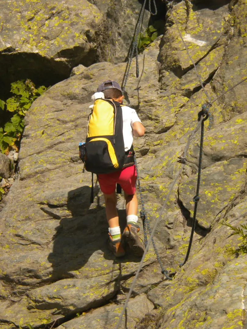
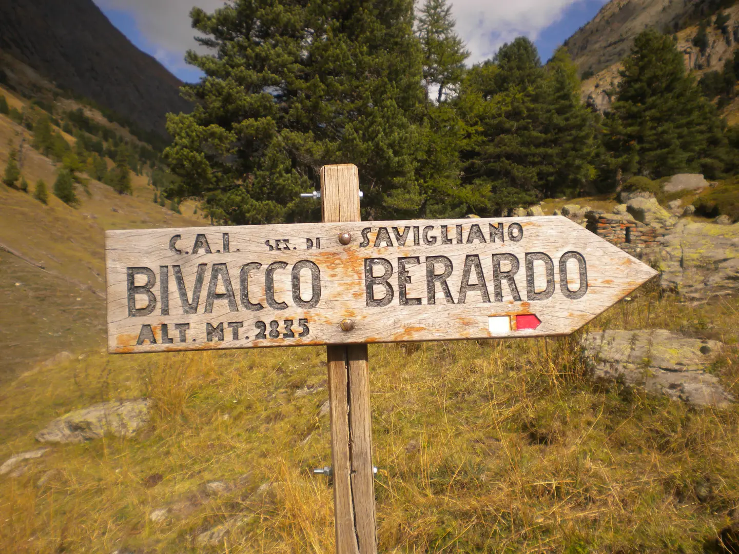
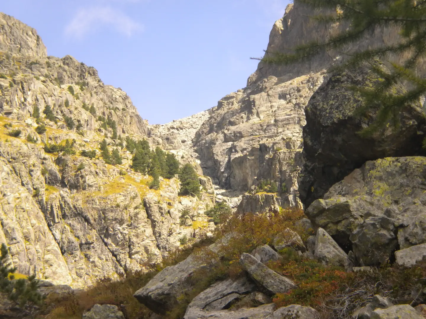
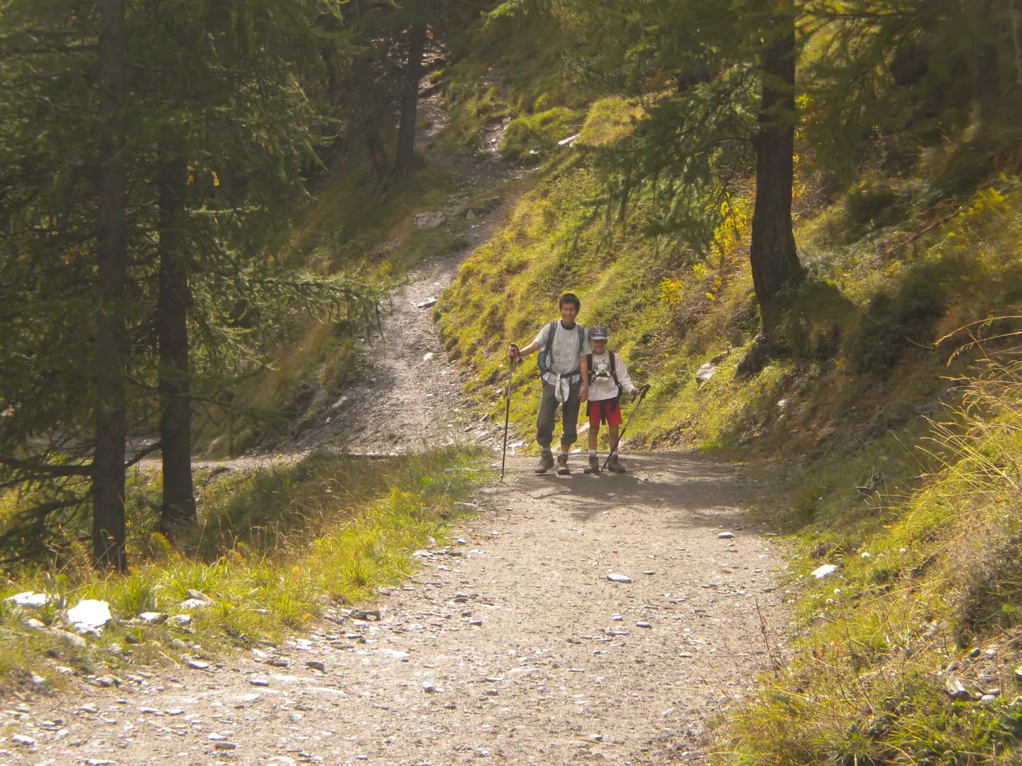
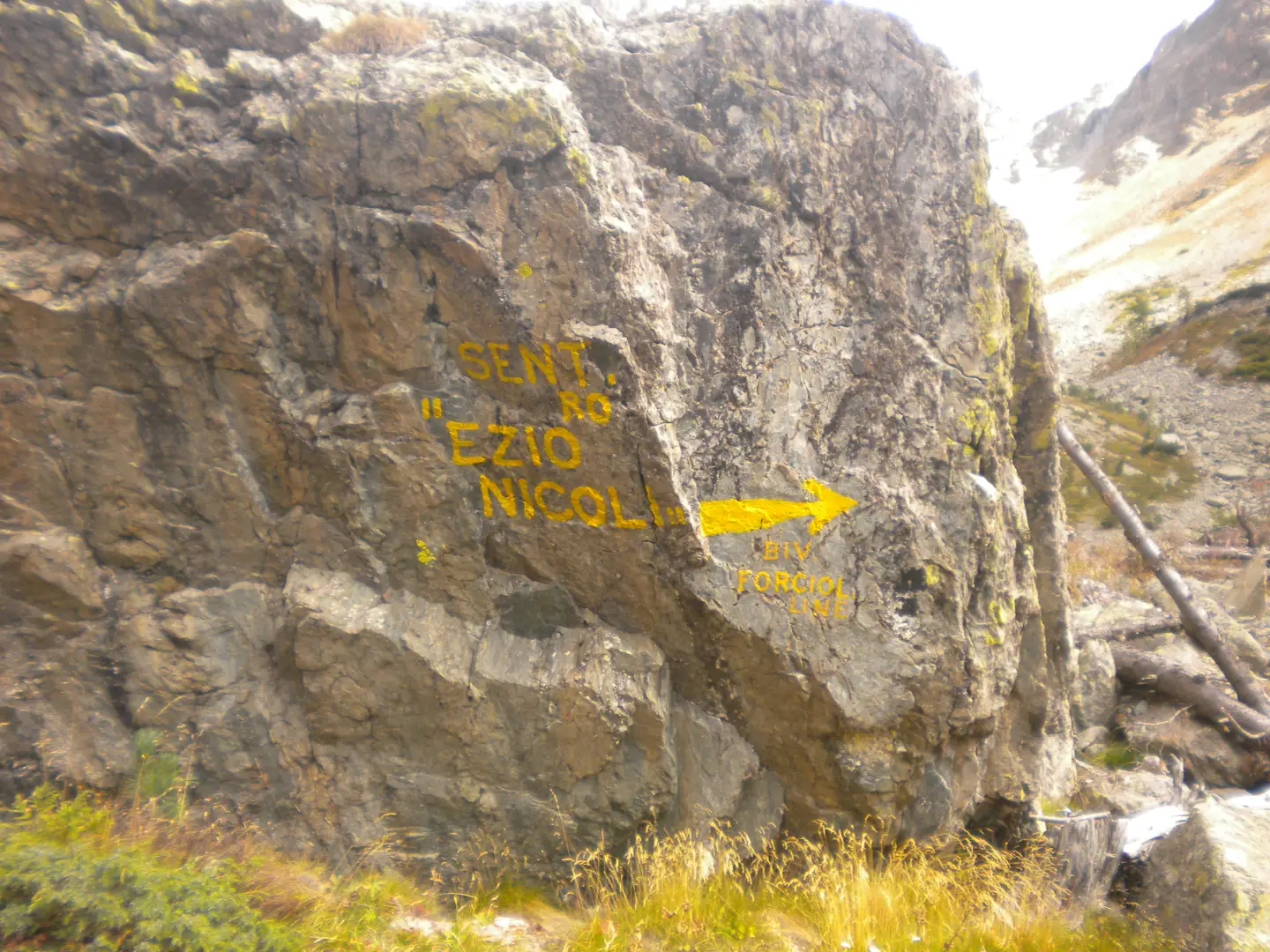
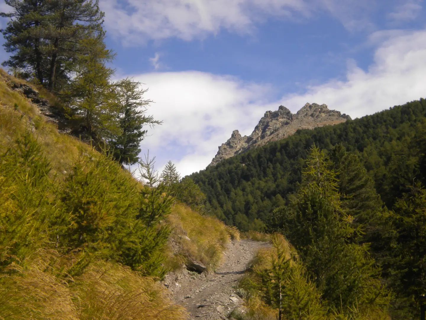
The start of the itinerary is from the hamlet of Castello di Pontechianale (Valle Varaita), on the right of the last hairpin bend before reaching Castello a steep dirt road starts that leads to a hydroelectric power station, Go past the power station and leave the signs for Rfugio Bagnour on the right, continue along the road until you come to some huts, cross a wooden bridge and continue in the direction of the Vallanta hut until you find the inscription "Sentiero Ezio Nicoli - Monviso Sud" on a rock on the left. A little further on, on the right, there is a path with indications for the Bivacco Berardo bivouac, follow it and, when you come to a fork, turn right and follow the yellow marks, enter the wood and continue until you come out of it and reach a stretch where the wood has been devastated by avalanches. Still following the yellow marks, we can now guess the route we will have to follow. The path points upwards to enter a steep rocky gully, in some places equipped with chains, which allows us to quickly gain height. Once out of the gully, we continue amidst rocks and scree, moving to the left until we pass under a large rock leaning against the wall. The ascent is now less tiring, you reach a lake and with a last climb you arrive at a level where the bivouac is located. The bivouac is very comfortable and clean, perhaps a little at odds with the harsh environment in which we find ourselves. The next day, given the sub-zero temperature and therefore the formation of ice, we decide to avoid the descent along the ascent route but to traverse to the Berardo bivouac and descend along the sunny path. The traverse to Berardo, apart from the first stretch, is all slightly downhill, always very well signposted with yellow markers. When we reach the bivouac, we take a short break and then descend on a rather steep but easy path until we reach the junction of the previous day and then the road that will take us back to Castello. The environment in which we find ourselves is very severe due to the presence of rocky peaks and the absence of vegetation, but very beautiful and exciting. The itinerary is very well signposted with yellow marks, and the walking times are approximately: Castello to Bivacco Forciolline h 4. - Bivacco Forciolline to Bivacco Berardo h 1 - Bivacco Berardo to Castello h 3.30. The itinerary departs from the hamlet of Castello di Pontechianale (Valle Varaita), on the right of the last hairpin bend before reaching Castello is a steep dirt road that leads to a hydroelectric power station. Once past the power station and leaving the signs for the Rfugio Bagnour on the right, continue along the road until you reach some huts, cross a wooden bridge and continue in the direction of the Vallanta Refuge until you find the words "Sentiero Ezio Nicoli - Monviso Sud" written on a rock on the left. A little further on, on the right, there is a path with indications for the Bivacco Berardo bivouac, follow it and, when you come to a fork, turn right and follow the yellow marks, enter the wood and continue until you come out of it and reach a stretch where the wood has been devastated by avalanches. Still following the yellow marks, we can now guess the route we will have to follow. The path points upwards to enter a steep rocky gully, in some places equipped with chains, which allows us to quickly gain height. Once out of the gully, we continue amidst rocks and scree, moving to the left until we pass under a large rock leaning against the wall. The ascent is now less tiring, you reach a lake and with a last climb you arrive at a level where the bivouac is located. The bivouac is very comfortable and clean, perhaps a little at odds with the harsh environment in which we find ourselves. The next day, given the sub-zero temperature and therefore the formation of ice, we decide to avoid the descent along the ascent route but to traverse to the Berardo bivouac and descend along the sunny path. The traverse to Berardo, apart from the first stretch, is all slightly downhill, always very well signposted with yellow markers. When we reach the bivouac, we take a short break and then descend on a rather steep but easy path until we reach the junction of the previous day and then the road that will take us back to Castello. The environment in which we find ourselves is very severe due to the presence of rocky peaks and the absence of vegetation, but very beautiful and exciting. The itinerary is very well signposted with yellow marks, and the walking times are approximately: Castello to Bivacco Forciolline h. 4. - Bivacco Forciolline to Bivacco Berardo h. 1 - Bivacco Berardo to Castello h. 3,30.
Description
Photo gallery


Comments (0)
Sign in to leave a comment