Search
Category
Tags
Nearby
                
                
                    Location: 


        Latitude: 
        Longitude: 
    
                    0 km
                    
                    100 km
                
            global.path
        
            
            km


            -
            
            km
        
    
         m
         m


    Hike Type
Difficulty
        
    All
                                    
    Hiking
                            
    Snowshoeing
                            
    Ski-mountaineering
                            
    Mountaineering
                            
    Via ferrata
                            
    Climbing
                            
    Mountain bike
                            
    Trekking
                        
    
        Active filters:


            Tags: italy


              Showing 916 results
                  with active filters


      Loading...
    
  Abaz, from Sizan
                    The itinerary from Sizan to the village of Abaz is a fascinating and accessible hiking route for everyone, ideal to...


                            T2
                        
                        
                            2.76 Km


                            222 m


                Ring of Cassinelle
                    In the area, the various paths have been abandoned for several years, due to brambles, some landslides and more (EE)....


                            T2
                        
                        
                            8.16 Km


                            406 m


                Aegua du Perteusu
                    Il sentiero iniziale, nonostante nessuna indicazione, per fortuna, è 
univoco, sconosciuto e, quindi, deserto. Ha un proprio nome: Il casello....


                            T2
                        
                        
                            7.47 Km


                            542 m


                At the foot of the Getrum Spitze
                    Beautiful hike in an environment dominated by mountain pine and marmots. Ideal for discovering the fascinating world of the Sarneri....


                            T2
                        
                        
                            13.84 Km


                            657 m


                Aiguille d'Artanavaz, from Planaval via Rantin
                    Final destination with an extraordinary view: almost within reach are Mont Blanc and the Grandes Jorasses, while the horizon stretches...


                            T3
                        
                        
                            17.60 Km


                            1346 m


                Aiguille de Rochefort, dal Rifugio Torino
                    L'itinerario è una parte dell'aerea cresta, abbastanza frequentata proprio fino all'Aiguille de Rochefort, che collega la base (“gengiva”) del Dente...


                            AD
                        
                        
                            0.00 Km


                            626 m


                Aiguille des Angroniettes, da Arp Nouva per il Col Ban Darrey
                    Questa bella ed impegnativa escursione circolare si sviluppa, fuori dall’affollamento dei classici sentieri, nell’alta Val Ferret percorrendo i solitari e...


                            T3
                        
                        
                            12.00 Km


                            1155 m


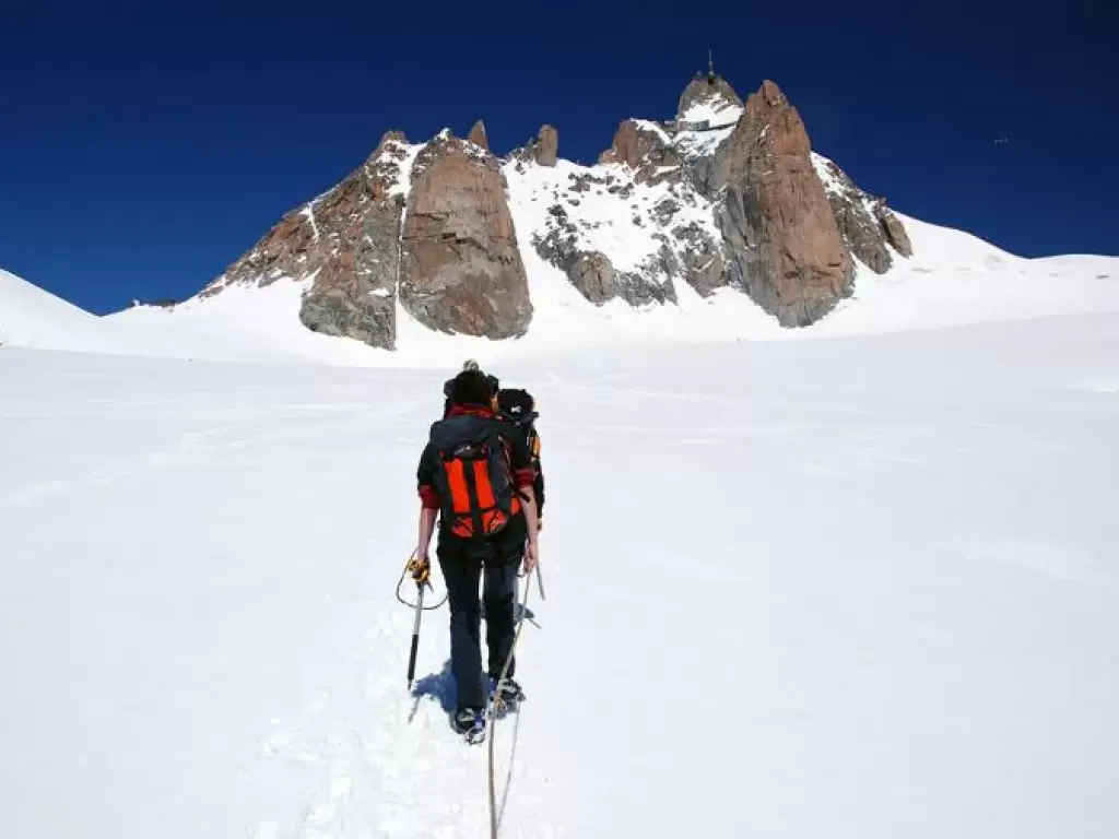
                Aiguille du Midi, trasversata dalla Punta Helbronner
                    Una delle traversate alpinistiche più famose al mondo! Uno scenario unico, irripetibile e un percorso non eccessivamente difficile lo rendono...


                            F
                        
                        
                            6.00 Km


                            610 m


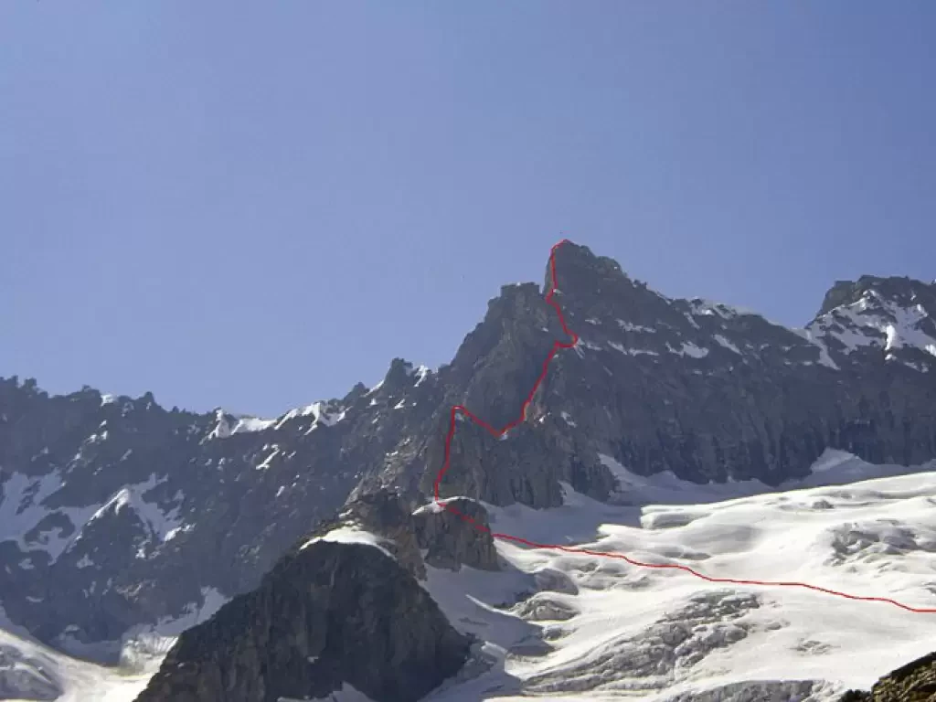
                Aiguille Savoie, from the Dalmazzi Refuge
                    Beautiful mountain, albeit of modest proportions, whose long south-east ridge, steep below the summit, juts out towards the Triolet Glacier....


                            AD
                        
                        
                            0.00 Km


                            0 m


                Aiguilles de Leisasse
                    Bella cima in ambiente selvaggio, nota anche come Aiguille de Lesache o des Sasses, frequentata anche d'inverno. A metà salita,...


                            T4
                        
                        
                            3.66 Km


                            914 m


                Aleccio, da Crego
                    Quando il bollettino valanghe ci consiglia di non fare escursioni ad alta quota, è l’occasione buona per fare questi tipi...


                            WT2
                        
                        
                            8.00 Km


                            919 m