Levionaz dessous, from Eaux Rousses


Edited by:
Massimo Martini
Updated at: 09/10/2025
Access
From the motorway barrier at Aosta-West, keep left and follow the signs for Aosta - Saint-Pierre. After one kilometre, at the roundabout, take the second exit to join the national road . Continue on the state road for 4.3 kilometres, passing the village of Saint-Pierre until you reach a new roundabout with the Gran Paradiso National Park sign. Take the first exit and continue on the state road for 1.4 kilometres until you come to the exit for Introd/Rhemes S.G/Rhemes N.D/Valsavarenche. Continue for 700 metres and at the roundabout take the first exit onto for Valsavarenche. Follow the regional road for 3.9 kilometres, pass the village of Introd and, after a series of hairpin bends, you will reach the junction for Val di Rhêmes . Continue left on and climb the valley for a further 19.2 kilometres, passing the main town of Dégioz before reaching the village of Eaux Rousses, where a number of free car parks are located on the sides of the road 🅿️.
[0h35'] - [27.7km]
How to get there with GMaps
How to get there with Apple Maps
Eaux Rousses can also be reached by bus with the company Arrive, leaving from Villeneuve in around 45 minutes.
The directions given here have been verified at the time of the survey of the route. Before setting off, it is advisable to ensure that there are no substantial changes to the route. We therefore recommend using the satellite navigation apps provided by Google or Apple for up-to-date and detailed directions.
Introduction
The Casotto del Guardiaparco di Levionaz dessous is located in a panoramic position at the entrance to the wide Levionaz valley, in the heart of Valsavarenche and within the Gran Paradiso National Park. The itinerary starts from the hamlet of Eau Rousse and initially follows wide pastures and ancient dry stone walls, then crosses woods of larch, fir and stone pine, alternating straight stretches with a series of hairpin bends up torrential slopes. The route offers suggestive views towards the Punta Bioula and frequent sightings of alpine fauna, particularly chamois. When you reach the Levionaz valley, you walk along a section of the old royal mule track, now part of Alta Via 2, to the small oratory and the alpine pastures where the hut is located, a support point for park rangers and an intermediate stage for longer hikes towards Col du Loson and the upper valleys.
Description
0h00' 0.00km From the car park, go up the regional road for a short distance until you come to a small bridge.
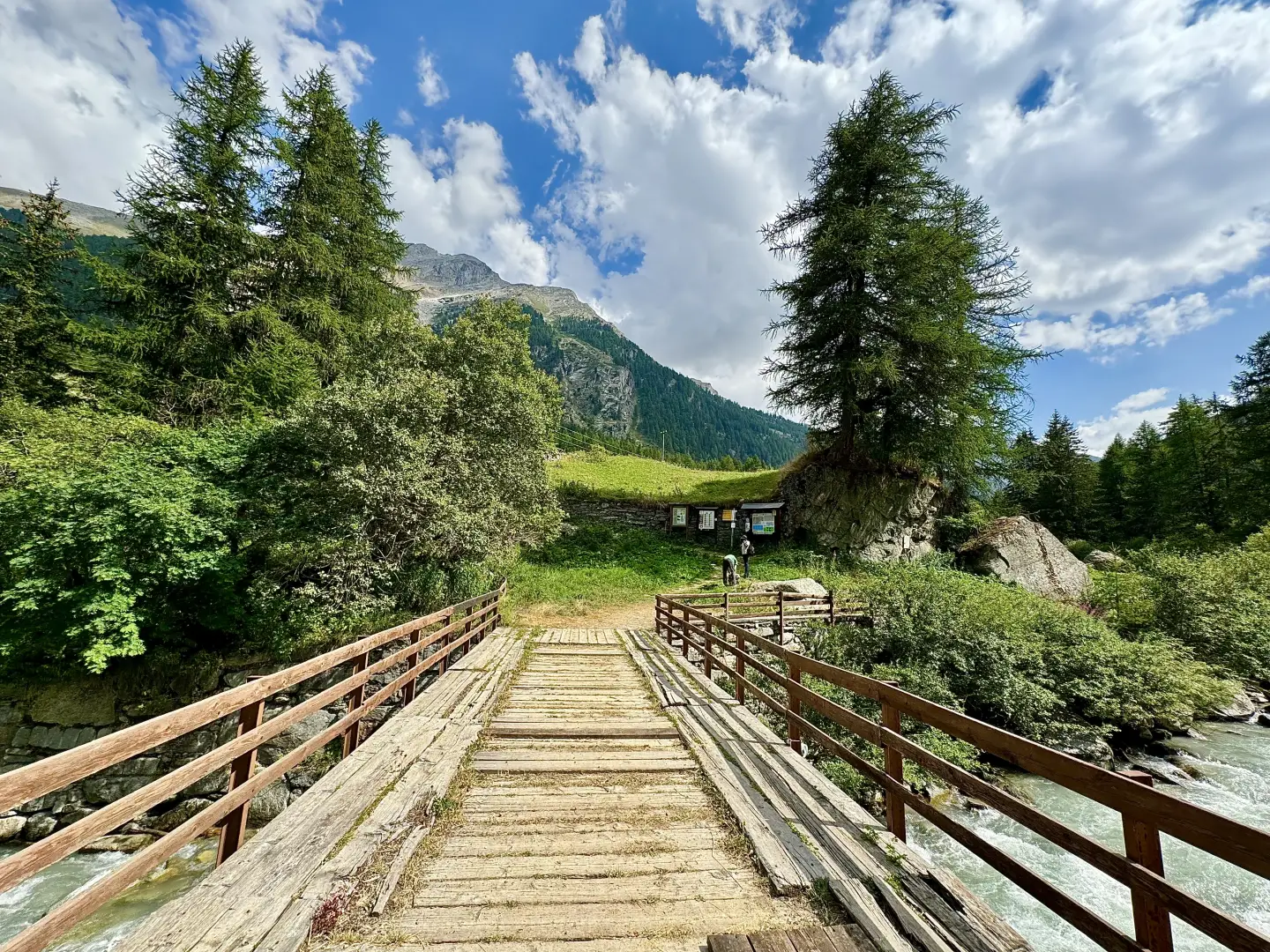
0h00' 0.07km Turn left and cross the Savara stream over a wooden bridge, immediately coming to a shelter with a map of the paths and a signpost. Turn left again and take the wide path, lined with fine drystone walls. The track bends to the right and crosses the pastures below the Méod mountain pasture, then turns left. Climb up the slope, leaving the pastures on the left and meeting a high-tension pylon on the right, just before crossing a dirt track. The ascent continues into the forest, with a series of twists and turns up the dejection cone of a small valley. In this section, the vegetation is sparse, a sign of the intense dumping activity on the slope. On the way, a wide panorama opens up over the Punta Bioula, a fascinating peak of the middle Valsavarenche. The twists and turns follow one another with increasing frequency, until reaching a small ford on the stream that descends from the gully (1,887m). From here, we continue to the left along a level stretch through the forest, now consisting mainly of silver fir, spruce and stone pine. At the end of the straight stretch, you start climbing again with numerous bends that make the slope easier. As before, the turns gradually intensify until reaching the impluvium of the Chaud stream (2,175m). Cross the stream and cross a small clearing, often populated by chamois. The path continues with a long upward traverse, at a moderate gradient, which, as it approaches the ridge of the Côte des Chauds, meets the path coming from Tignet, at an altitude of 2,225m.
1h50' 4.56km continue straight on, completing the traverse and joining the Levionaz valley. Climb for a short distance along the old royal mule track - now part of the Alta Via 2 - until you reach the small oratory that precedes the alpine pastures. The destination is now visible and, in a few minutes, you will reach Levionaz Desot (2,303m), where the alpine pastures and the Casotto dei Guardiaparco 2h00' 5.06km are located.
The return trip follows the same route as the outward journey, retracing the path until returning to the starting point at the Eaux Rousses car park 1h30' 5.06km .
Points of interest
- Eaux Rousses
- Levionaz dessous
- Valsavarenche
- Gran Paradiso National Park
Collections
- hikes departing from the Eaux Rousses car-park - on the map
- hikes in Valsavarenche - on the map
- hiking in the Gran Paradiso Park - on the map
- hiking to casotti-guardiaparco PNGP - on the map
Galleria fotografica