Chamolé


Edited by:
Massimo Martini
Updated at: 04/05/2025
Access
Leaving the motorway at the Aosta Est exit, take the state road and continue in the direction of the capital. Once in Aosta, follow the signs for Pila until you reach the locality of Pont-Suaz: from here, having crossed the Dora Baltea, continue in the direction of Charvensod. Go up the entire regional road until you reach Pila, at the first parking area near the arrival point of the Aosta-Pila cableway.
- How to get there with GMAPS
- How to get there with Apple Maps
Description
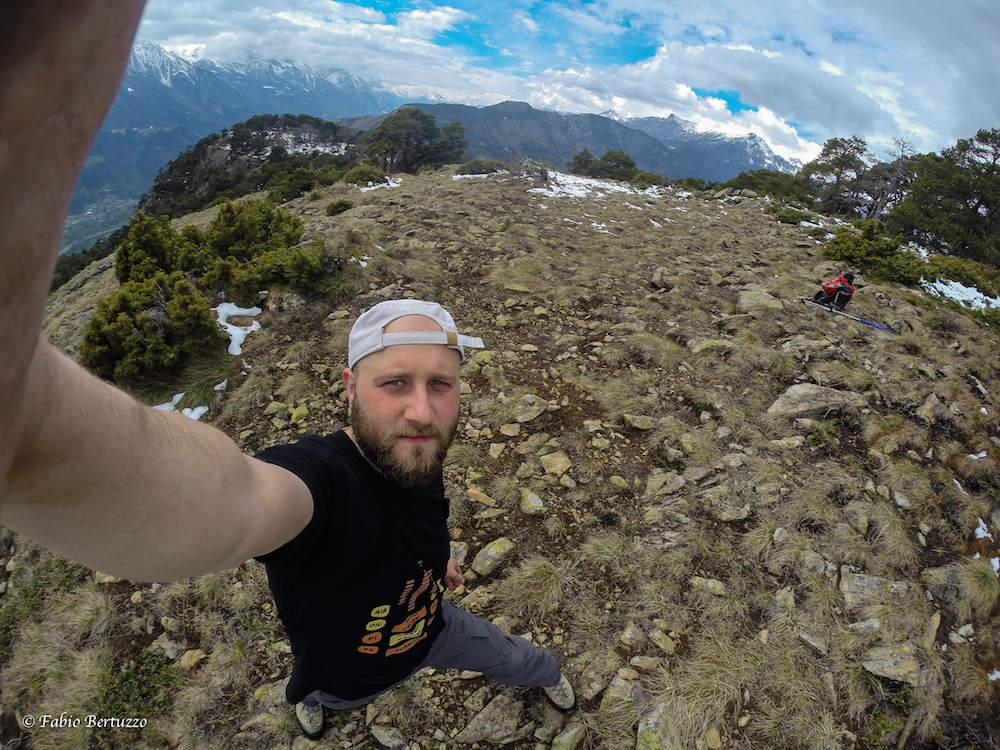
0h00' Leaving the car park, cross the road and, near a fountain 💧, follow the signs for the start of the hiking trails up the steps leading to the clearing in front of the cableway exit. Turn right onto a dirt road and walk along it for about seventy metres until you come to the signposts indicating the main hiking routes in the area.
0h05' Turn left and start walking along the road following the signs for the signpost. After leaving the last buildings in Pila, cross a ski slope and after enjoying the splendid view of the Grand Combin, enter the forest. The almost flat road cuts across the slope and soon reaches a fork in the road.
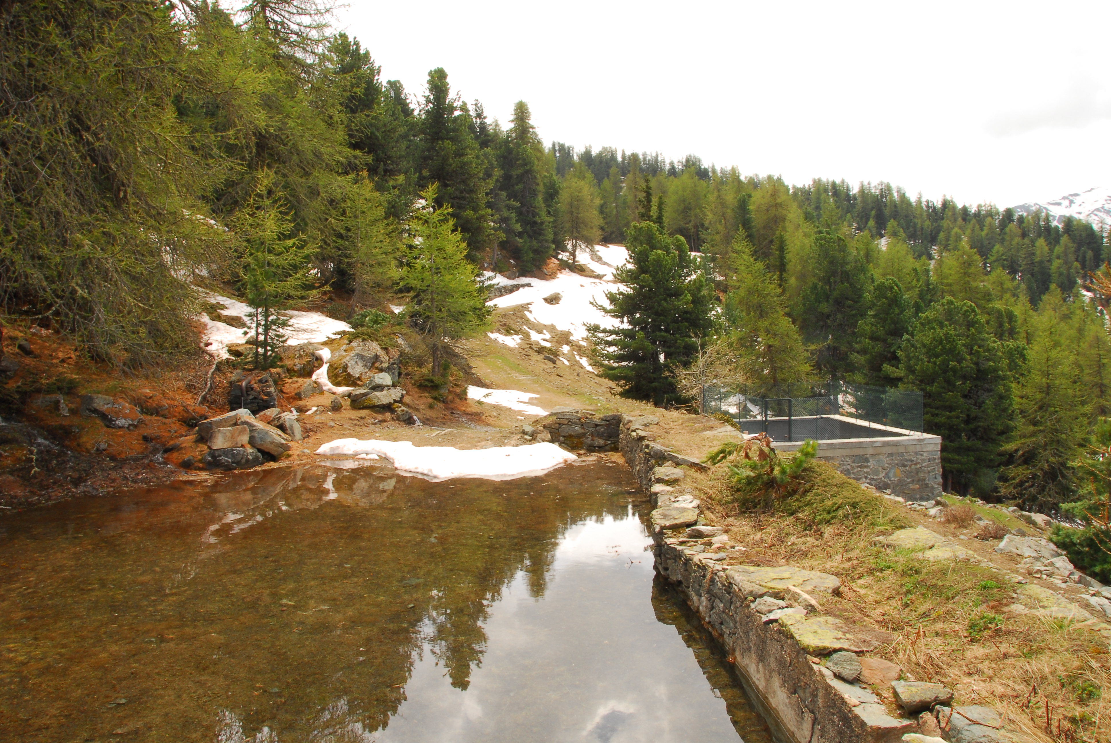
0h25' Take the road to the left, descending a very short distance before reaching the Ermitage de Saint-Grat (1787m) 0h30' .
Comments (0)
Sign in to leave a comment