Trajo pass from Vieyes

Edited by:
Massimo Martini
Updated at: 04/05/2025
Access
Leaving the motorway at the Aosta Ovest exit, turn right and take the for the Cogne valley. After passing through the village of Aymavilles, the road climbs the valley for about 10 kilometres until you reach the village of Vieyes: turn left into the village and park in the centre of the village; there is also a car park along the regional road in case there is no space in the one below.
- How to get there with GMAPS
- How to get there with Apple Maps
Description
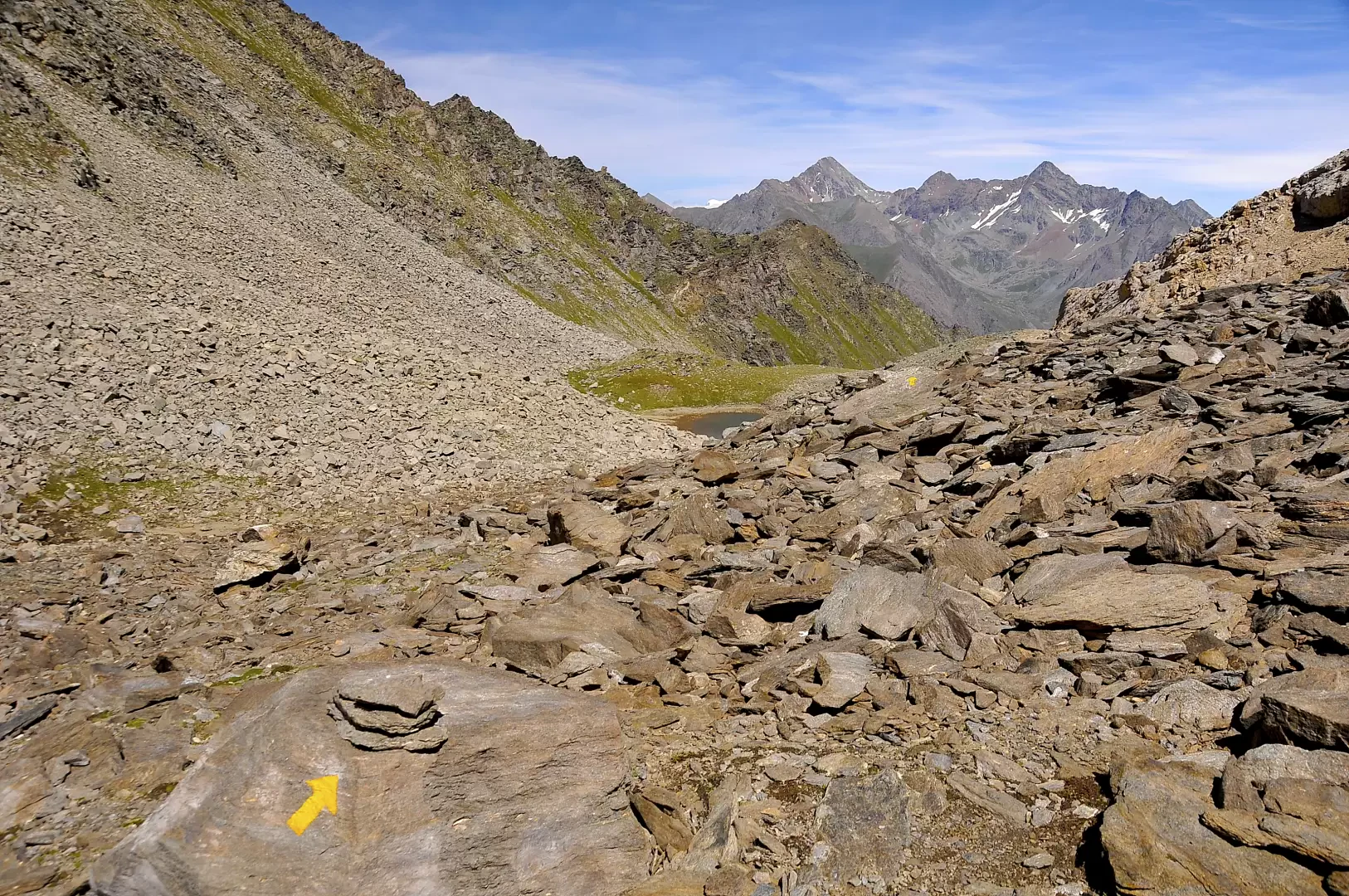
Leaving the car behind, we walk between the houses, leaving the fountain 💧 on the left, and soon reach the regional road. We take an agricultural track that soon becomes a comfortable mule track. You begin to climb the cool Chantellet forest with a series of hairpin bends to mitigate the steep slope. After about 20 minutes, the ascent softens and, following a diagonal to the left, you reach the ruins of Plan Pessey (1361m, 0h30'): follow a track that branches off to the right, crossing the two ruins and taking you close to the Mayen de Plan Pessey until you come to a fork with a signpost for the bivouac.
The trail begins to climb up the spruce forest (Abies picea) until it meets, on the right, the fork in the path
for the Chantel park ranger's hut; ignore this and proceed until reaching a tin-roofed cottage. From here, the trail begins to climb more vigorously, keeping to the orographic left of the Grand Nomenon stream and, shortly afterwards of its tributary the Favret stream, until the point where it must be crossed at a stone ford (1,569m, 1h00'). We now move to the orographic right and begin to climb the slope in an endless series of turns; we reach a small aqueduct and then arrive near a wooden footbridge to cross the Grand Nomenon stream (1970m, 2h00'): we cross it and come to a fork in the path, continuing to the right, ignoring the path
that leads to Sisoret and the nearby Petit Nomenon pastures.
The trail passes above the alpine pastures and continues to climb with more hairpin bends until it reaches a clearing; take a wide bend to the right until reaching a ruined alpine pasture (2090m, 2h20').
From the alpine pasture, climb up the pastureland until you enter a new wooded area predominantly of larch (Larix decidua), taking a long diagonal turn to the right to a footbridge (2200m, 2h50') to cross the Grand Nomenon stream again.
We now pass on the orographic left and ascend the slope, which becomes gentler through the summer pastures; the panorama is impressive, as the Trajo peak, Grivola, Grand Nomenon, Petit Nomenon and Mont Favret slowly appear before us. Shortly before reaching the destination, a wooden cross can be seen on the right: just a little more effort and we finally reach the Gontier bivouac (2310m, 3h30') located near the Grand Nomenon pastures.
The descent is along the same route as the ascent (1h45').