Nature trail from Valbione to Santa Giulia


Edited by:
Maurizio Loconti
Updated at: 03/11/2025
Access
From Ponte di Legno (Alta Val Camonica), go up with the 'Valbione' lift (check opening times).
Introduction
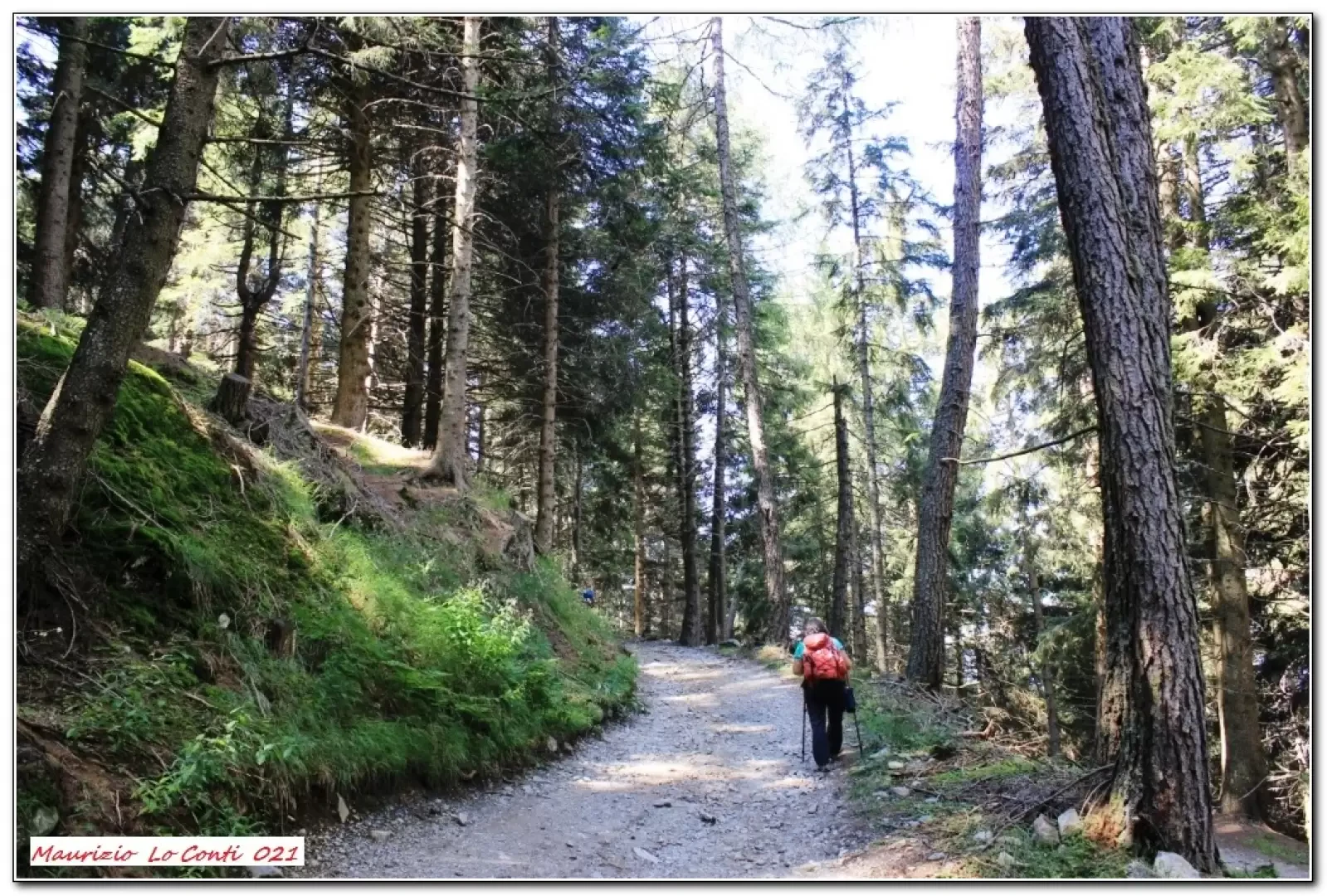
The mid-mountain setting is relaxing, with several panels telling the story of the places you pass through.
Description
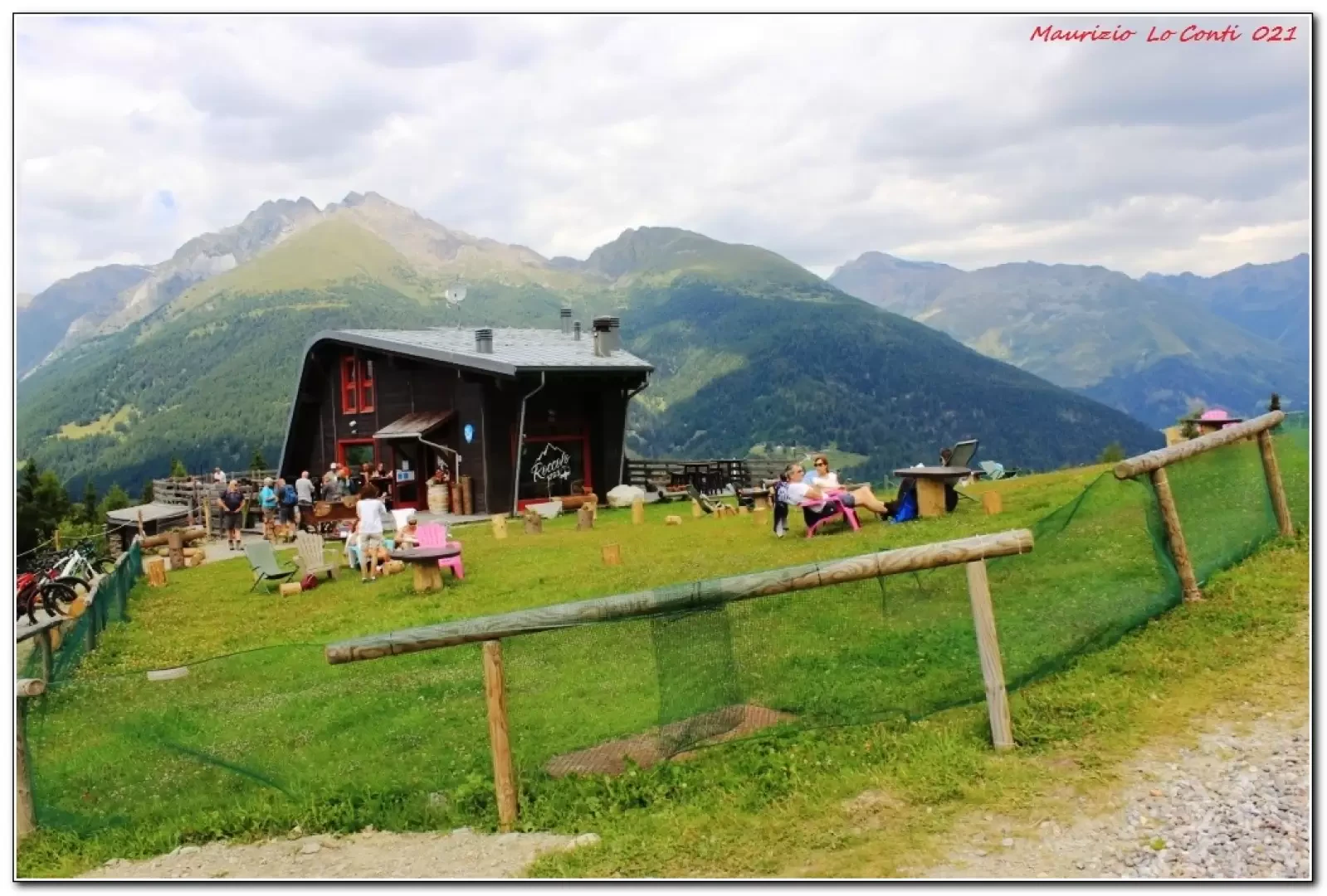
Descending from the lift (1510 m), one must immediately turn right and disregard the sign indicating the return to Ponte di Legno, which shortly afterwards drops precipitously at the ski slope. The wide track rises and gains metres. At a crossroads (to the right, the return) you turn first to the left and then to the right, passing the Maralsina refreshment hut. Continue and, after touching a picnic area, turn right and then left. You cross a ski slope and descend through the forest to the little church of Santa Giulia (1870 m 1h30), a scenic and relaxing spot. At an obvious fork in the road, turn right, then immediately afterwards in an unexpected manner, turn right again (left, downhill x valley floor) uphill, touching on the Temù plant and the Roccolo Ventura ref. In short, you close the loop and with the morning route you return to the Valbione chairlift (1h30).
All in all: fair day - difference in altitude 430 mt - Dif. T/E - 9 km for approx. 3h Tot. (1h30 go and 1h30 return) + all the breaks to see the various places you come across Average walking comfort: good.
If you want, here is the pdf photo file, with a bit more news:
http://cralgalliera.altervista.org/VacEst021D.pdf
http://www.cralgalliera.altervista.org/anno2021.htm
http://www.cralgalliera.altervista.org/altre2021.htm
NB: in the case of an excursion, always check with FIE, Cai, any park authorities or other institutions, pro loco, etc, that there have been no changes that have increased the difficulties! No liability is accepted. The present text is purely indicative and not exhaustive.
Info Hiking Section Cral Galliera: http://www.cralgalliera.altervista.org/esc.htm
2021 trips at the link: http://www.cralgalliera.altervista.org/gite021.pdf
General information
Signposts: CAI
Type of route:partially circular
Recommended period: June, July, August, September
Sun exposure: north
Objective Danger: none
Exposed Tracts: none
Useful Equipment:normal daily hiking equipment
Water: no.r.
Galleria fotografica