Pizzo Mercantelli, from Our di Cima


Edited by:
Marco Bonati
Updated at: 19/07/2025
Access
From Milan to Morbegno along the state roads and you continue along the same road until you pass the municipality of Ardenno and reach - a little further on - the diversions to the left for Buglio in Monte. Climb the slope with numerous hairpin bends until you reach the village. Paying attention to the diversions signposted on the right, continue on to Our di Cima. The climb is very long, on a narrow cemented road; at a hairpin bend, look for parking as it is impossible to continue without permission.
.Introduction
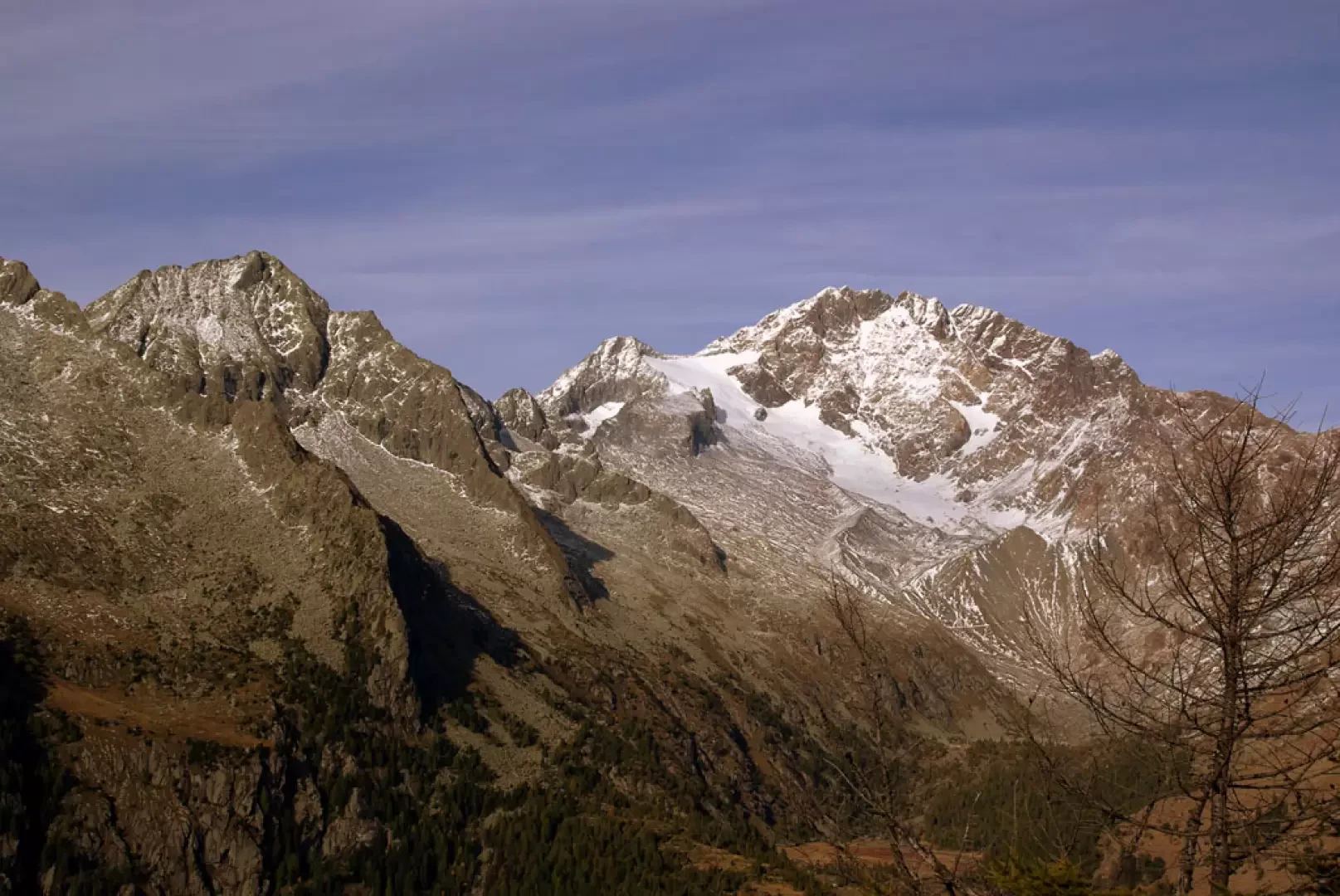
A hike of purely environmental and panoramic interest: the ridge we are going to reach forms the border between the Valtellina proper and the Preda Rossa valley with the dominant backdrop of Monte Disgrazia. Beautiful excursion even with plenty of snow for snowshoeing (except for the culminating ridge).
Description
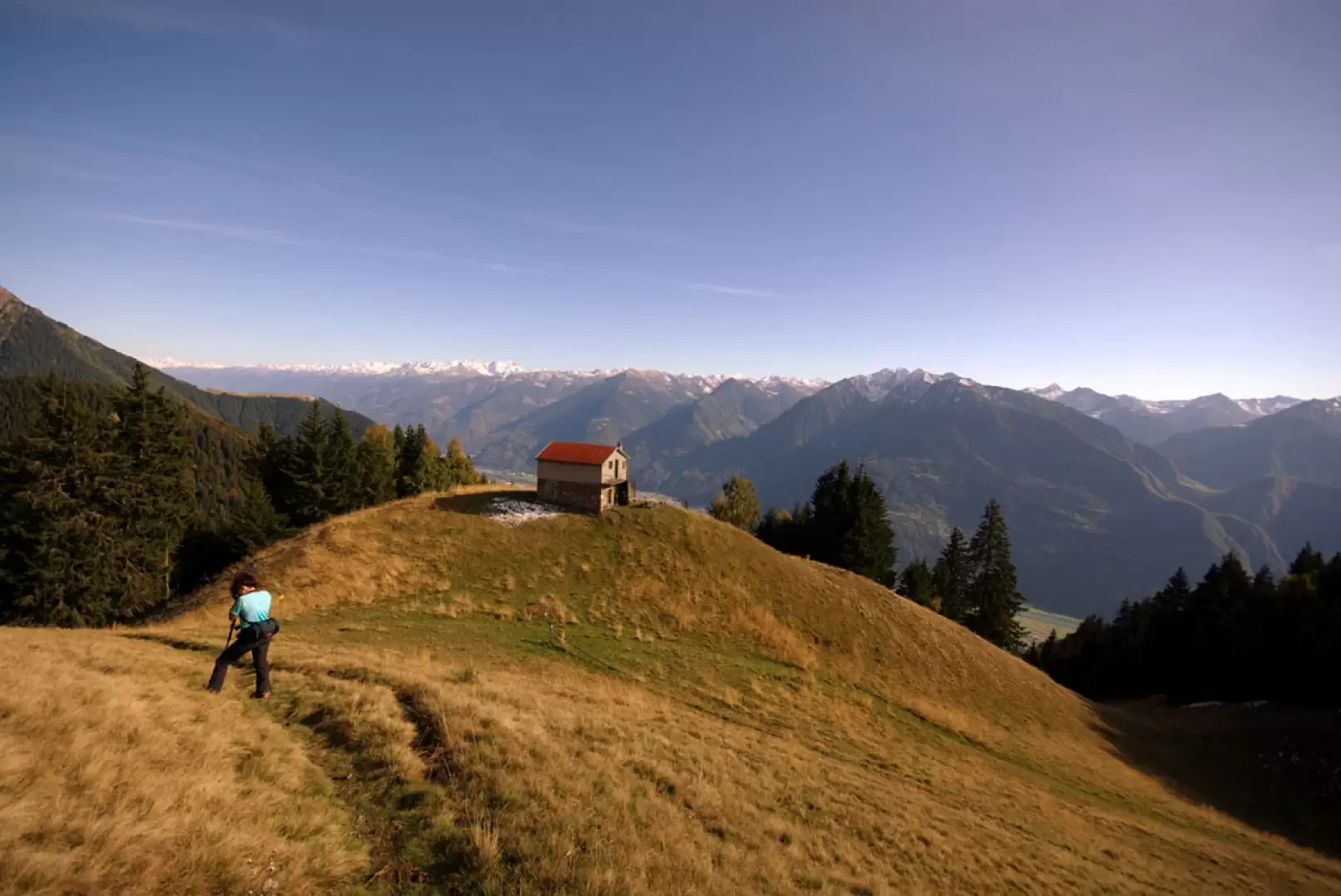
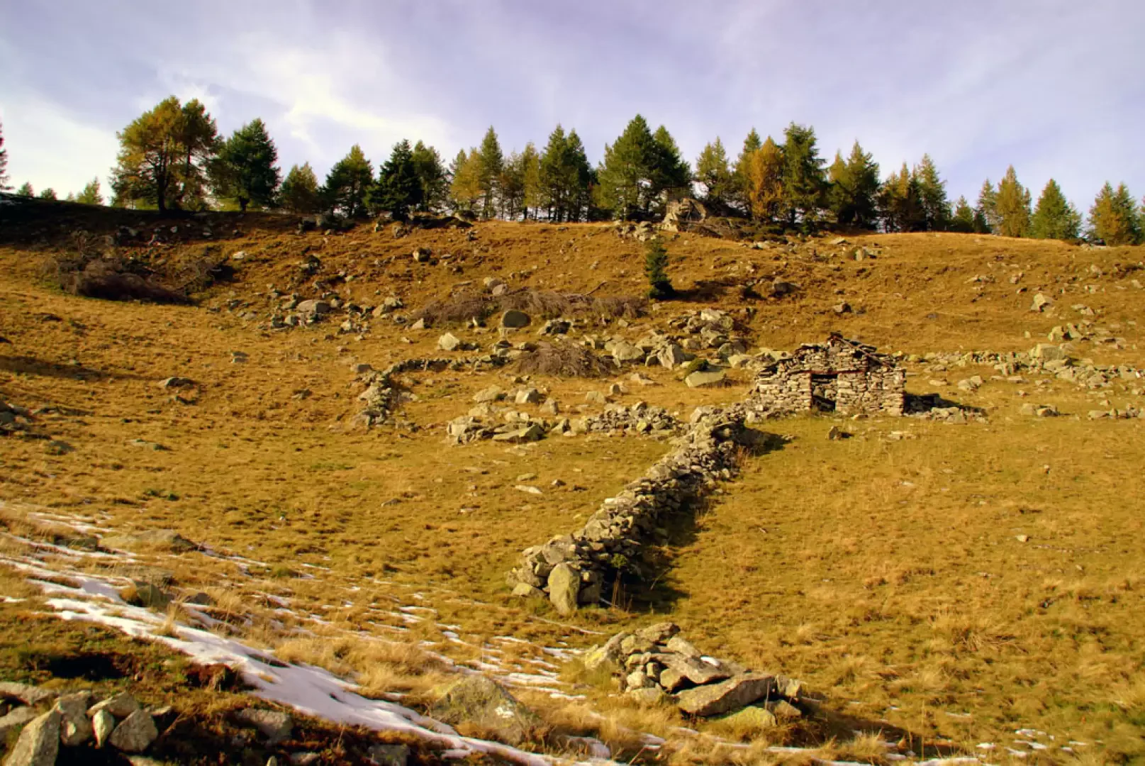
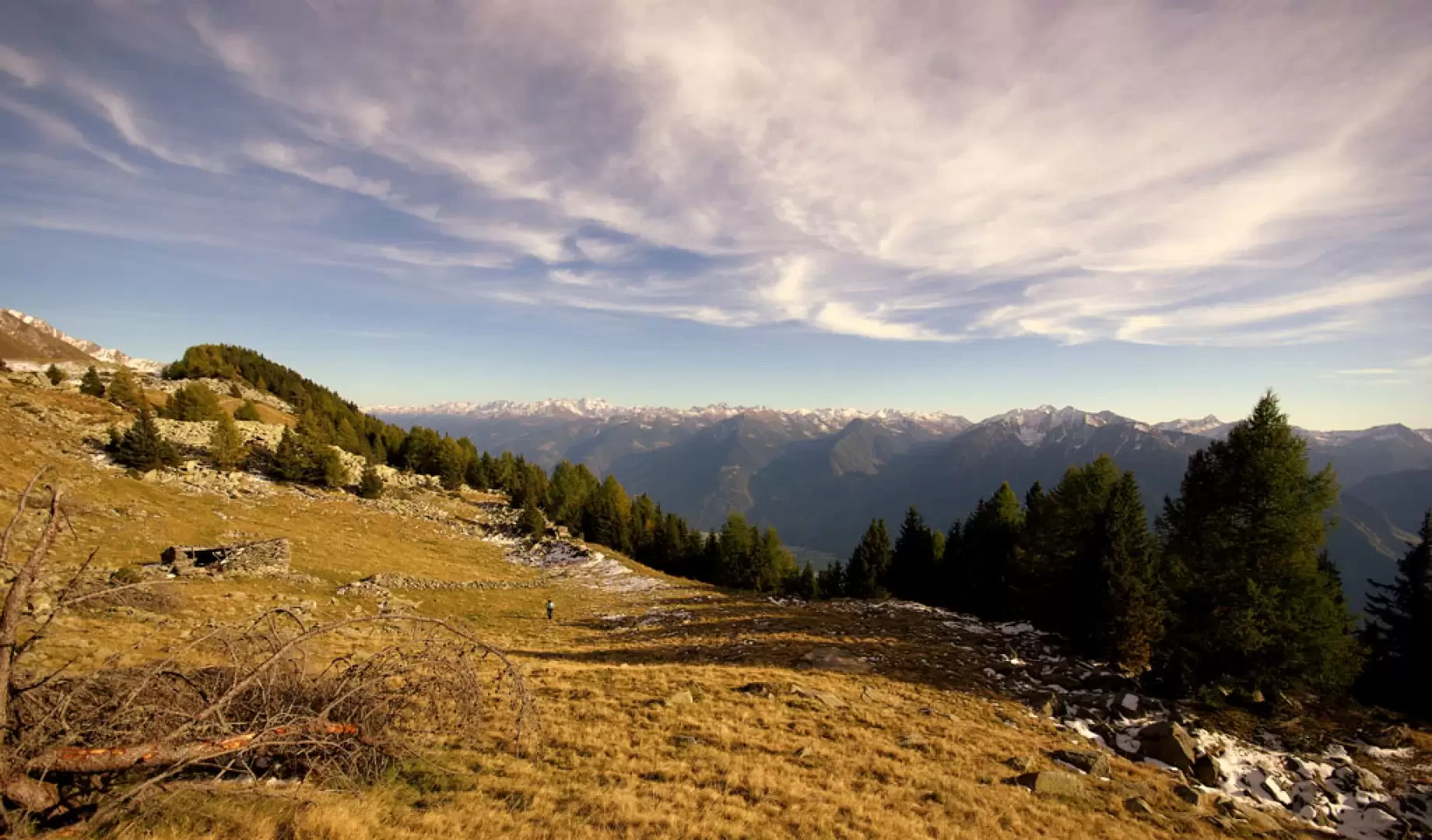
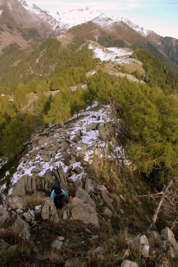
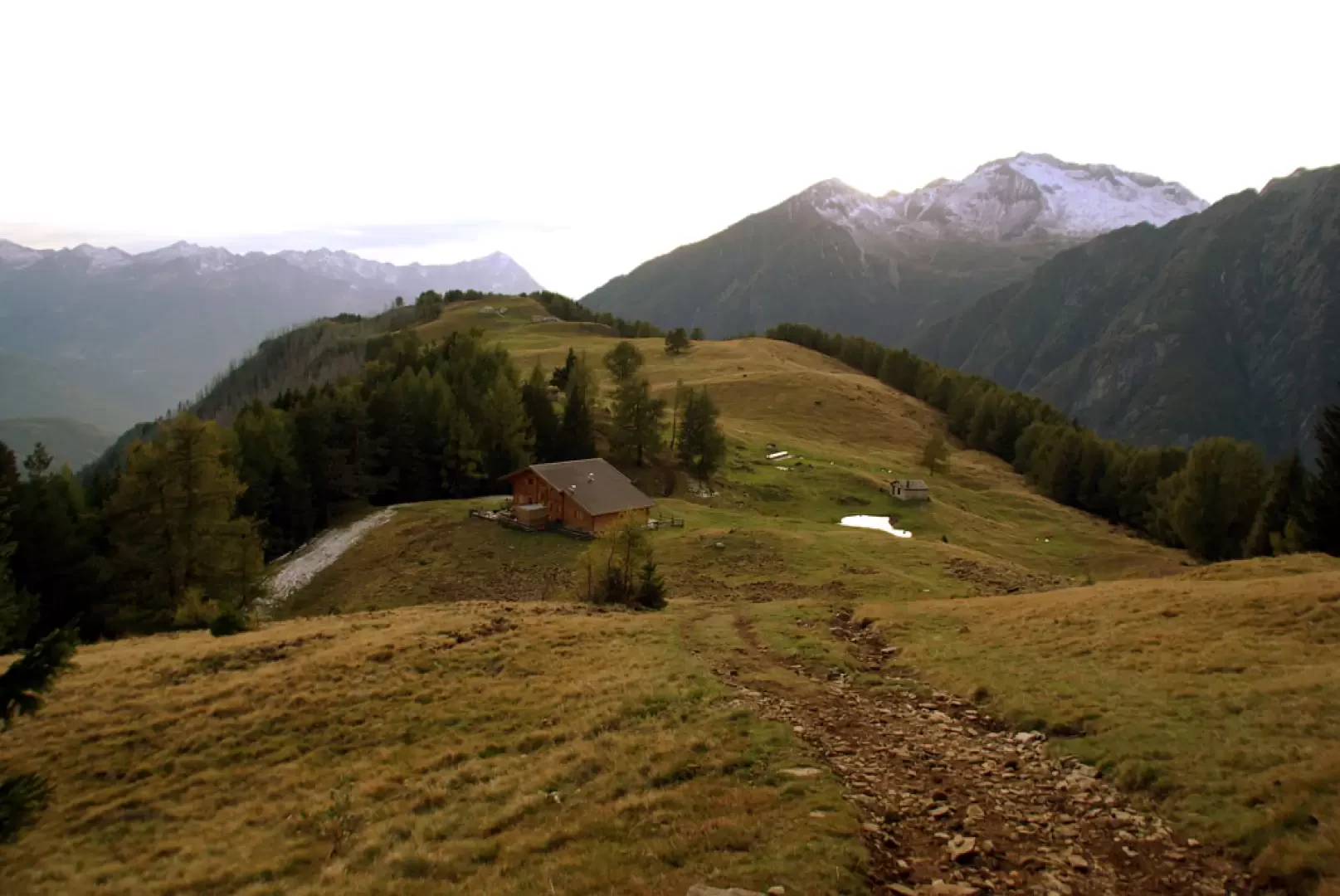
From the car park, take the forest track in the direction of "Alpe Granda"; after a few hairpin bends on a stony surface through ugly vegetation (residue of fires that occurred in the 1990s), you enter the beech and chestnut forest. We leave the track for a path to the right - signs "Merla" and "Scermendone" - that climbs steeply up the wooded slope until we come to the grassy saddle of the Merla (1734m); from the summit, we follow the signpost to the left that leads to Scermendone. The path, which is rather uneven due to stones and roots, soon leads to a traverse track heading west-east, near an aqueduct gate and a cross: follow it to the right for a long time, alternating steep climbs with almost flat stretches. About 100 metres after the fourth hairpin bend, we take a path to the left - poorly signposted with old paint traces - which, with a few hairpin bends, leads to the very wide and panoramic ridge of Alpe Scermendone 2103m. Facing the slope of Preda Rossa, you find a trail (more chamois than anything else) that you follow to the left; when it becomes rocky, you are forced to lean - here and there climbing on stacked blocks - on the Valtellina side. In a short time, the summit is reached at an altitude of 2127m. The real Pizzo Mercantelli is situated at 2070m to the west, and can be reached by traces of a path on the rocky, wooded ridge. For the return journey, it is possible to make a short diversions, so as not to completely retrace the outward route. Retrace your steps as far as the hillside track and follow it as far as the cross (where we reached it on the outward journey); continue along it, descending very steeply in places, until you reach the clearing at Alpe Granda 1688m. As soon as you come out onto the pastureland, you come to the Alpe Granda refuge, a fine resting place on the Sentiero Italia; continue up and down along the vast meadowland until, on the left, you come to the final widening of the forest track that we had taken at the beginning of the excursion: in about twenty minutes you are back at the car park.
Exposed sections: ridge of stacked boulders
Photo gallery
Comments (0)
Sign in to leave a comment