Loditor, from Etirol


Edited by:
Massimo Martini
Updated at: 19/10/2025
Access
Leave the motorway junction at Châtillon-Saint-Vincent, turn left and continue for 300 metres to the roundabout. Take the third exit onto Via Émile Chanoux and follow it for 600 metres through the historic centre of Châtillon. Turn slightly right onto Via Menabreaz and continue for 450 metres to the roundabout with the Matterhorn monument in the centre. Take the second exit and enter the Regional Road in the direction of Valtournenche. Continue on for 7.8 km until Antey-Saint-André, where you will come to the junction with Regional Road for Torgnon. Turn left and climb up the road for 6.4 km until you reach the main town of Mognod. Continue straight on, following the signs for the ski lifts. After 400 metres, at a hairpin bend to the left, turn right onto the municipal road, following the signs for Petit Monde, Triatel and Etirol. Continue along the narrow road until you reach the village of Triatel and finally that of Etirol, where there is a small car park 🅿️ near the village. If the car park is full, it is possible to turn around and park near the Moulin.
To reach the starting point of the route, private transport is indispensable, as it is not served by public transport.
Distance and travel time
🕒Travel time: 33 minutes
📏 Distance: 19.60 km
GPS navigation
📍 How to get there with Google Maps
📍How to get there with Apple Maps
ℹ️ Important note
The information provided was checked on the date of the route survey. Before departure, it is advisable to check for any changes to the route. For up-to-date and detailed directions, we recommend the use of Google Maps or Apple Maps.
Introduction
The Lo Ditor (Loditor) pond is a wet plain at about 1,900m in the Chavacour valley, sculpted by the ancient glacier that descended from Punta Tzan. The amphitheatre-like landscape alternates between limestone springs, alkaline transition fens, subalpine meadows, cliffs and larch forests: a mosaic of habitats that has earned the area inclusion in the Natura 2000 (SCI) network. Among the most valuable species are Groenlandia densa (one of the highest occurrences in the Alps), Carex limosa, Ranunculus aquatilis, Salix pentandra and Utricularia minor. Once you have reached the site, you can follow a short and almost flat visitor route (loop): ideal for families and schools, it offers information points and a viewpoint overlooking the plain, with a contour of pastures and larch woods.
Description
0h00' 0.00km Proceed in an easterly direction until you reach the hamlets of Etirol. A lane branches off to the left, to be followed with the help of the yellow marks, which crosses the village. Past the last buildings, continue along the path that turns left and, after skirting the ruins of rascard, continues slightly uphill in the direction of the valley, until reaching the ruins of Levaz Dessous (1,677m). Continue along the path that bends slightly to the right, entering the Petit Monde valley. The gradient increases and you will soon reach the junction of path at an altitude of 1,690m.
0h25' 0.76km Neglect the path on the left and continue straight on along the marked ascent, crossing the cool larch forest (Larix decidua), leaving the stream on your left, until you reach the Tsantsevellà pastures. Here you will come to a barely noticeable fork.
0h45' 1.44km Continue straight on, ignoring the path on the right, and cross the pleasant pastureland at the foot of the imposing Punta Tsan. The path loses its slope and heads towards the impluvium of the stream. Follow the stream for a short distance, until you reach a small dam and a fork in the road.
1h00' 1.93km Turn left, going up the farm road, which, with a couple of hairpin bends, leads to the Betsoloz pasture (1.895m), where there is a new marker post.
1h10' 2.35km Turn right and follow the path that, slightly uphill and on a level course, climbs up the valley along the orographic right-hand side, until reaching the Petit Monde stream, an emissary of the Loditor. Cross the stream to the orographic left and climb up a short distance to a hump, where there is a small house on the left, preceding the little road to Gilliarey. When you reach the road, turn left and follow it for about a hundred metres until you reach the Loditor plateau again (1,919m) 1h40' 3.92km .
The return is along the same route as the outward journey: from Loditor, follow the path to the Betsoloz alpine pasture, then continue along the interval to Etirol 1h10' 3.92km .
Points of Interest
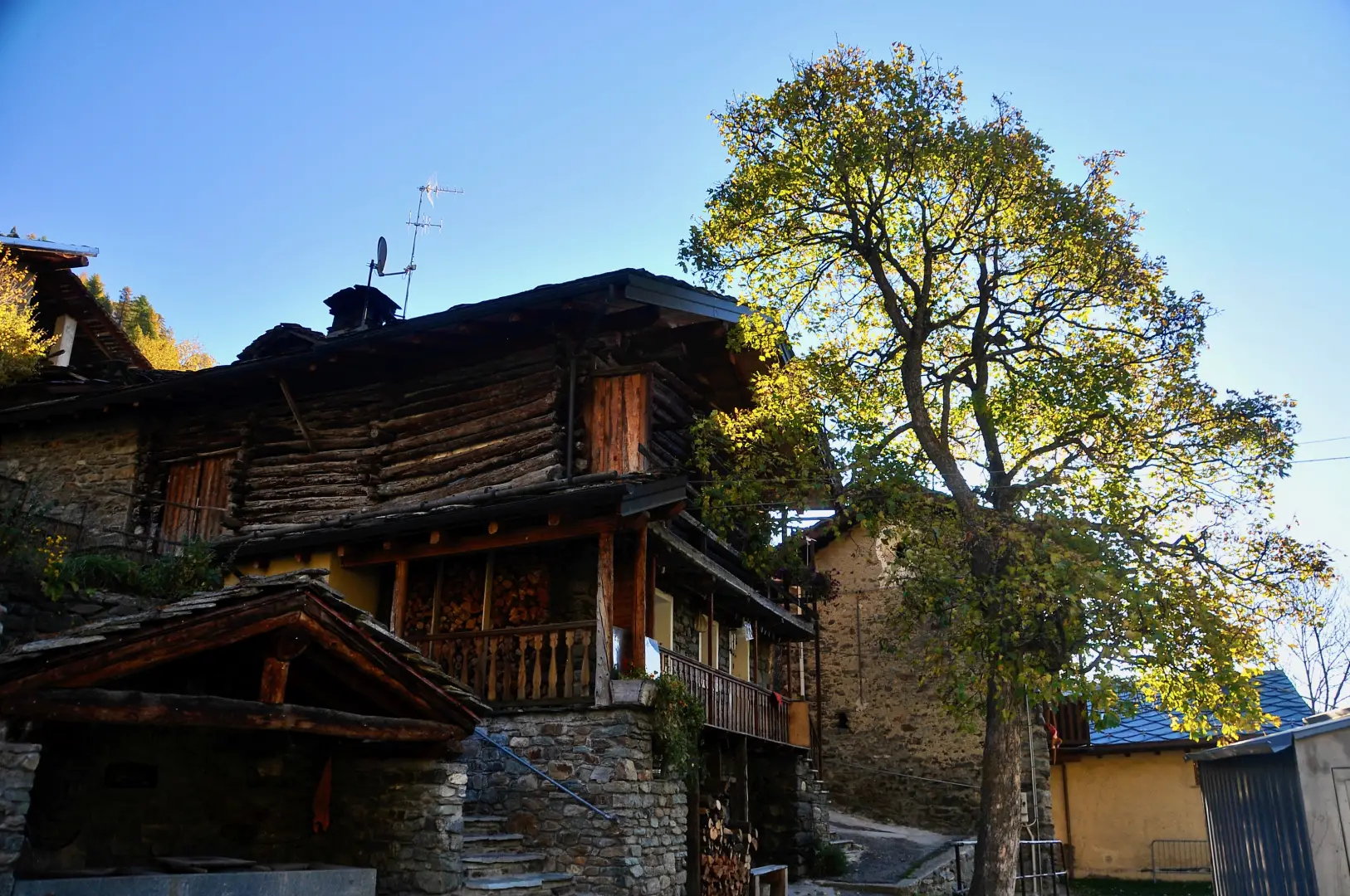
- Etirol
- Tsantsevellà
- Betsoloz
- Torgnon
Collections
- hikes starting from Etirol - on the map
- hiking in Torgnon - on the map
- hiking in the Valtournenche - on the map
- hiking in the wetlands of the Aosta Valley - on the map
Photo gallery
Comments (0)
Sign in to leave a comment