Malga Dimaro, from the Val Mastellina cable car station


Edited by:
Maurizio Loconti
Updated at: 01/11/2025
Access
From Val di Sole with the Daolasa plant.
Introduction
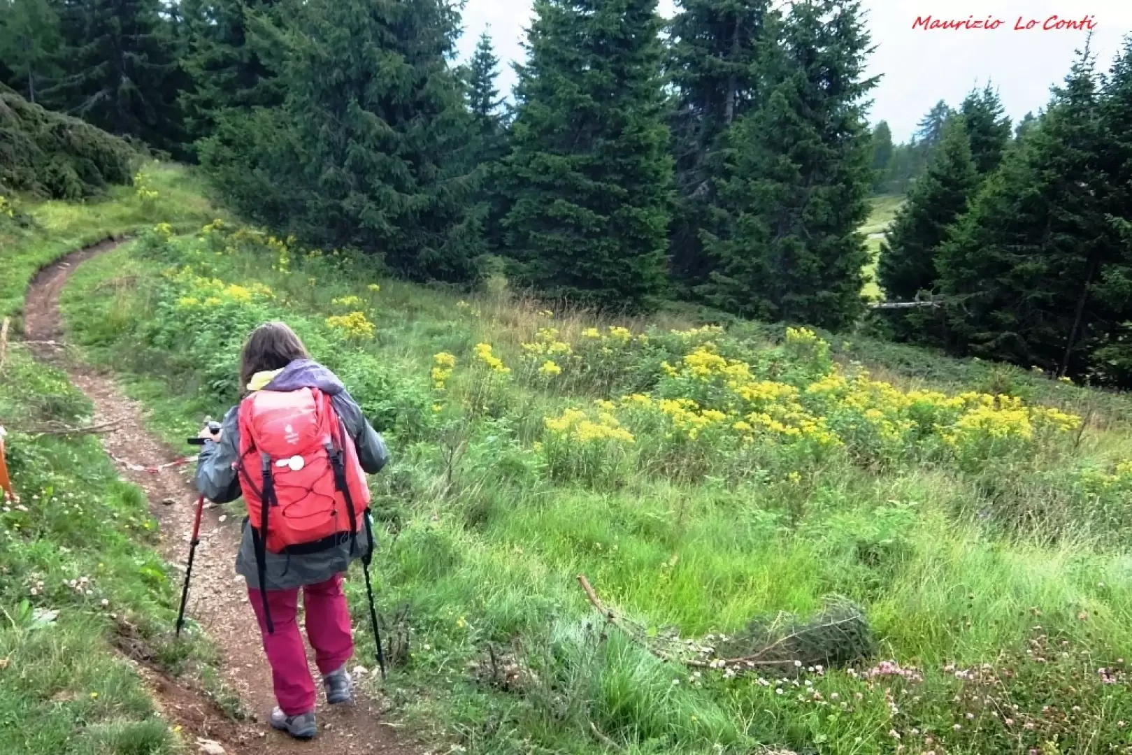
Classic route above Folgarida
.Description
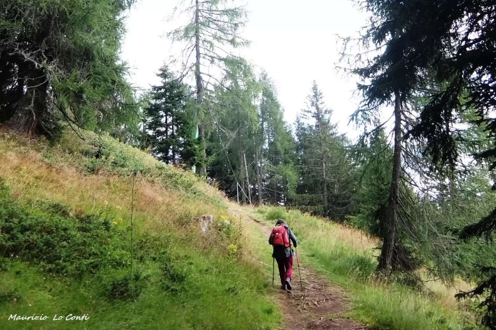
You ascend the Daolasa lift and descend on foot from Solander 2045 m to Malghet Aut 1860 m. You follow the path in preference to the forest track. From Malghet Aut, continue the descent in the direction of Malga Dimaro, located at an altitude of 1670 m. After the break, we descend with the Sat symbols until we take the ski slope and arrive at Folgarida 1310 m.
All in all: weather better than expected descent Dif. T for approx. 2h30 Tot. (1h15 and 1h15 ret.) + all the breaks to see the various sights. Average ride comfort: good
If you would like, here is the pdf photo file, with a bit more news:
http://cralgalliera.altervista.org/VacEst/VacEst019L.pdf
http://www.cralgalliera.altervista.org/year2022.htm
http://www.cralgalliera.altervista.org/altre2022.htm
NB: in the case of an excursion, always check with FIE, Cai, any park authorities or other institutions, pro loco, etc, that there have been no changes that have increased the difficulties! No liability is accepted. The present text is purely indicative and not exhaustive.
Info Hiking Section Cral Galliera: http://www.cralgalliera.altervista.org/esc.htm
trips 2022 at the link: http://www.cralgalliera.altervista.org/gite022.pdf
Galleria fotografica