Mont Joly, from Plateau de la Croix


Edited by:
Massimo Martini
Updated at: 26/08/2025
Access
On leaving the Mont Blanc Tunnel, descend the departmental road D1205 until you reach a roundabout: follow the signs for Genève on a dual carriageway. After passing Les Houches, start the descent towards le Fayet, skirting the Gorges de l'Arve. At the end of the long descent, turn right and, at the traffic lights, follow the D1205 again until you reach Le Fayet. Now continue following the signs for Les Contamines-Montjoie. When you reach the tourist resort of Saint-Gervais-les-Bains, you will come to a roundabout with signs for Saint-Nicolas-de-Vercose. Follow the D909 for a few kilometres until you come to a fork: turn left and now continue on the D43 until you reach Saint-Nicolas-de-Vercose. After passing the beautiful baroque church, you will come to the Route de la Croix on the left: take it and go up it to its end. Shortly before the Plan de la Croix ski resort, you will see a car park on the right: descend briefly down the narrow road to the large clearing where you can leave your car.
Introduction
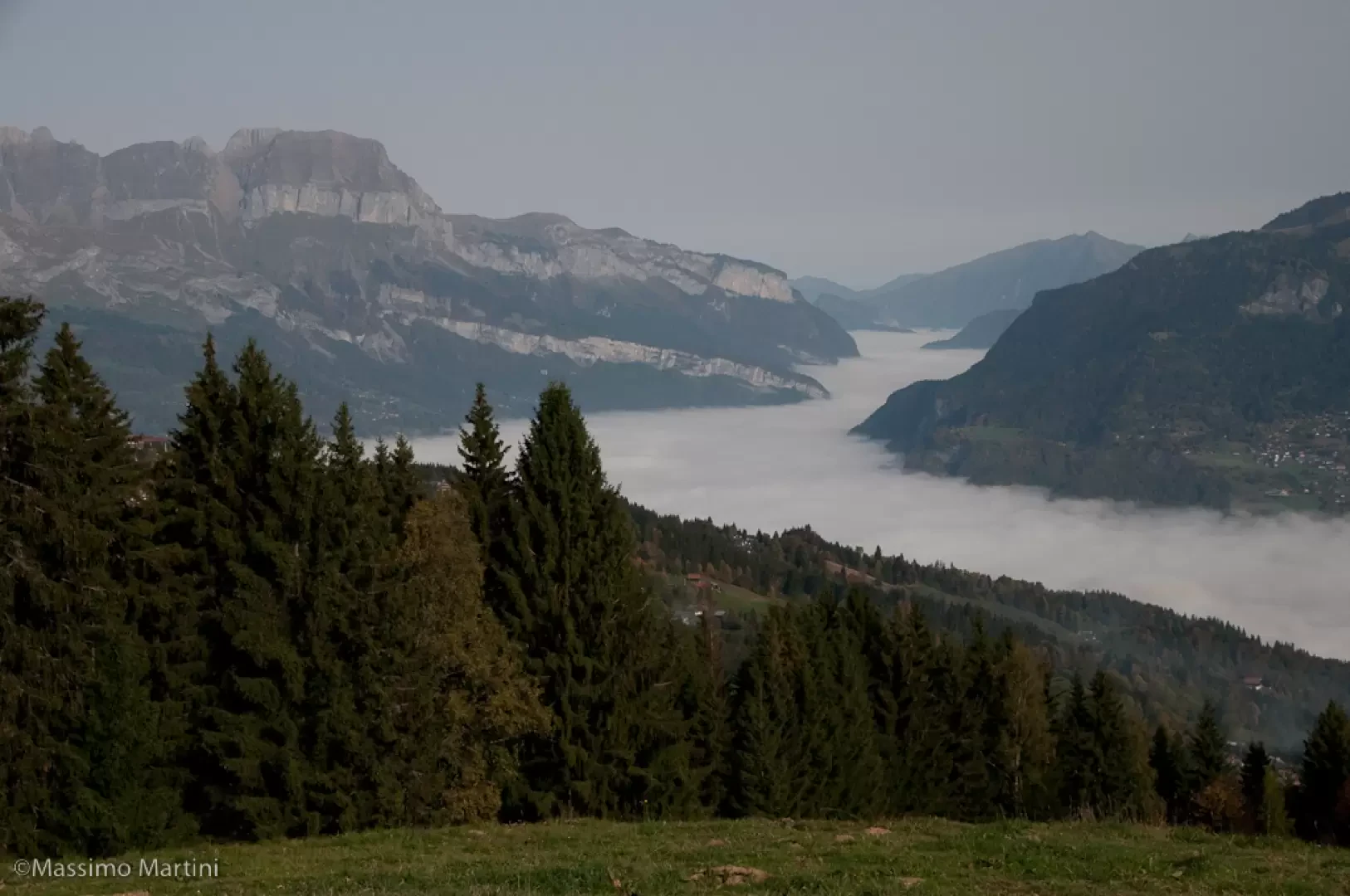
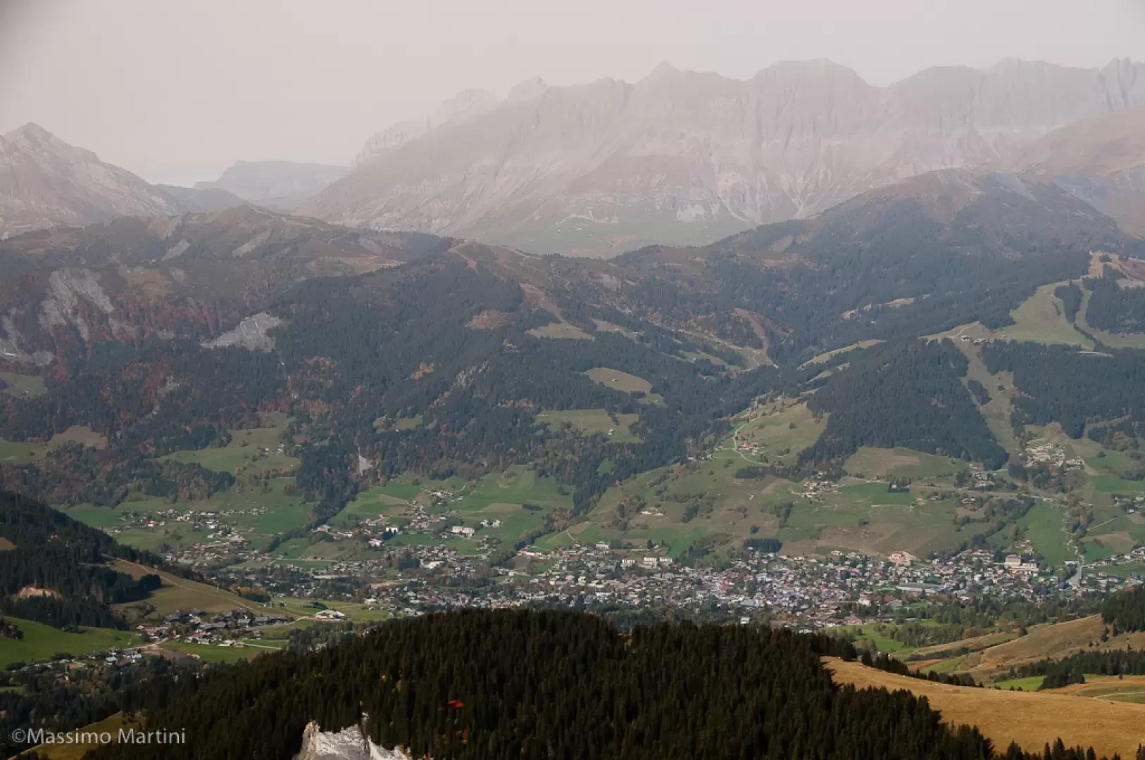
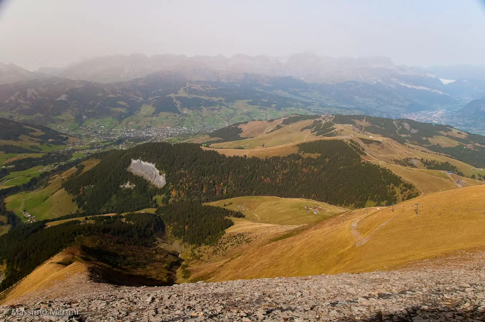
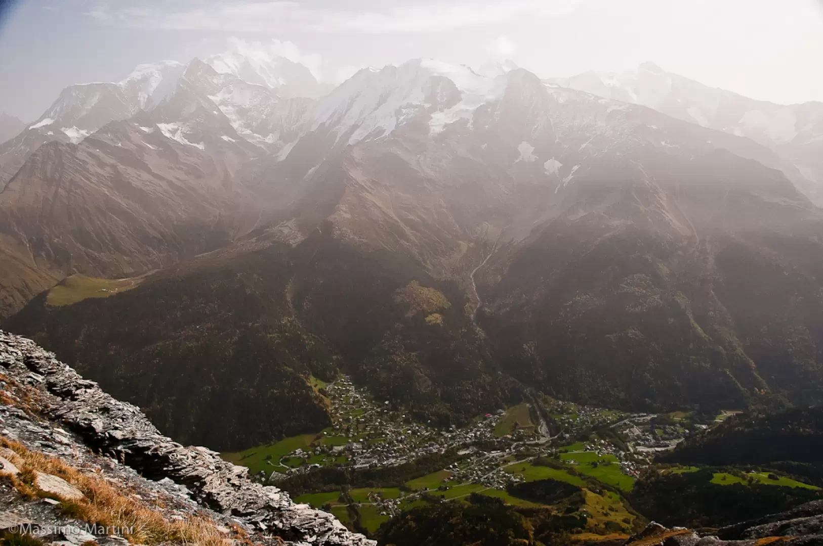
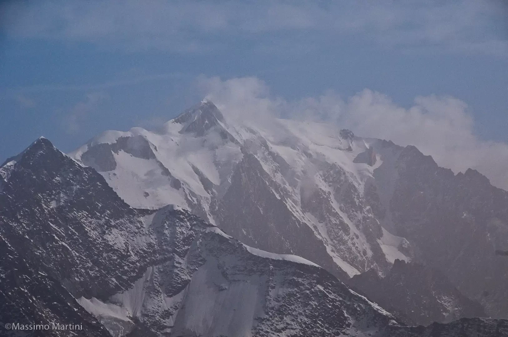
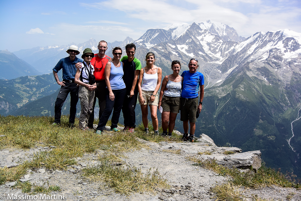
The ascent to Mont Joly affords remarkable panoramic views of the south-western side of the Mont Blanc Massif, with privileged views of the Aiguille de Bionassay and the sinuous snowy ridges of the Dômes de Miage. The itinerary proposed here is the shortest of the many to reach the summit.
.Description
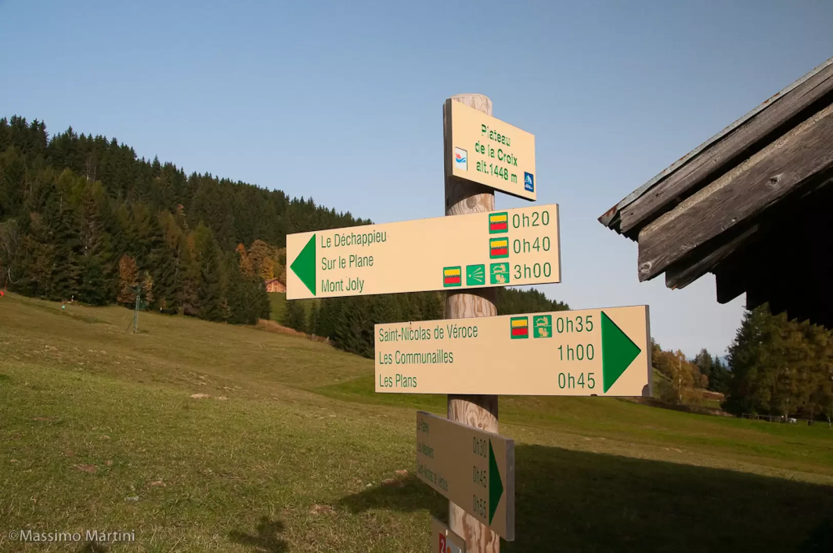
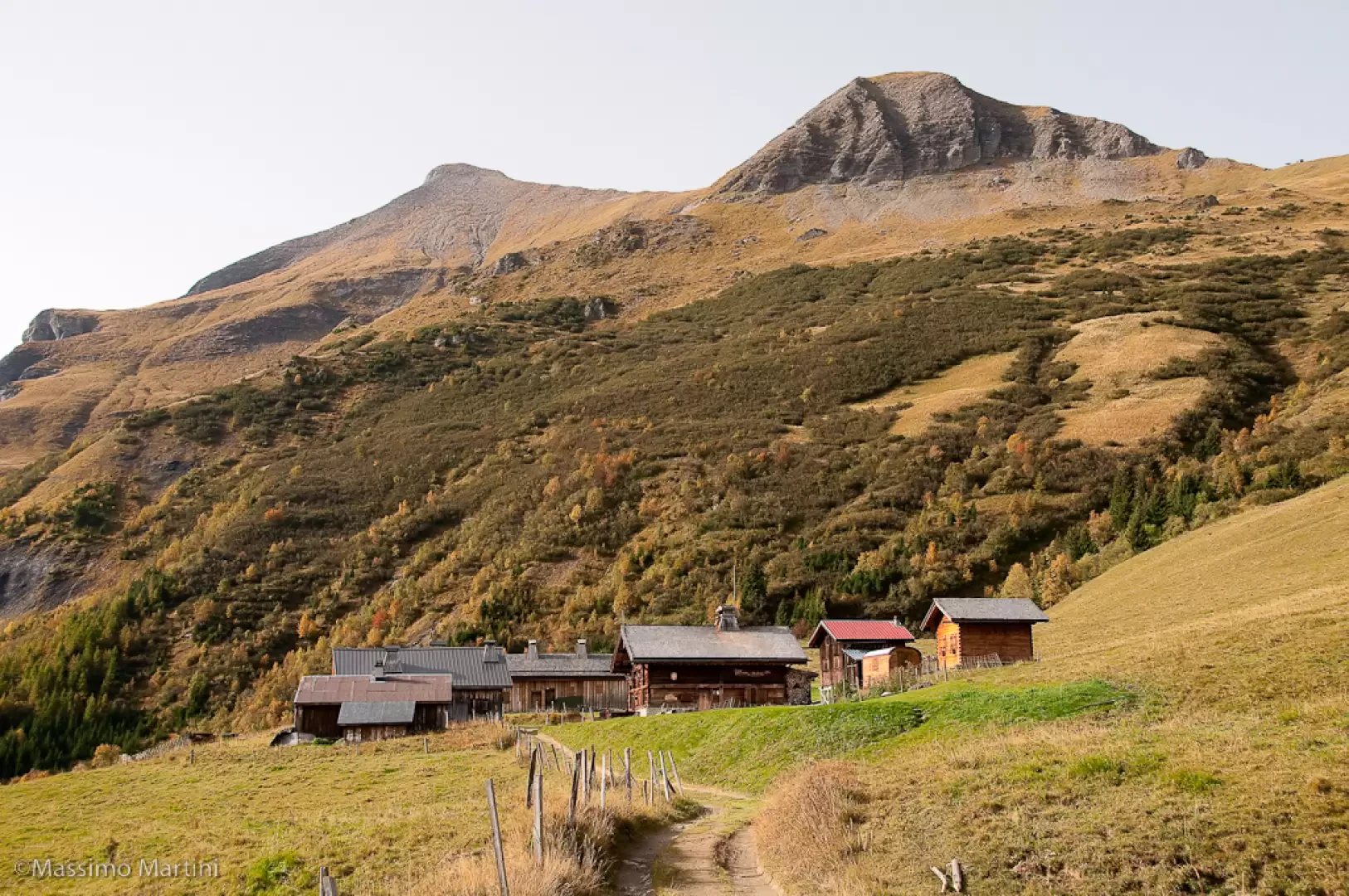
From the car park, take a short walk along the road, turn left, and reach the start of the chairlift near Bar Schuss: we are at Plateau de la Croix (1448m), a signpost indicates the summit of Mont Joly at 3h00' from this point.
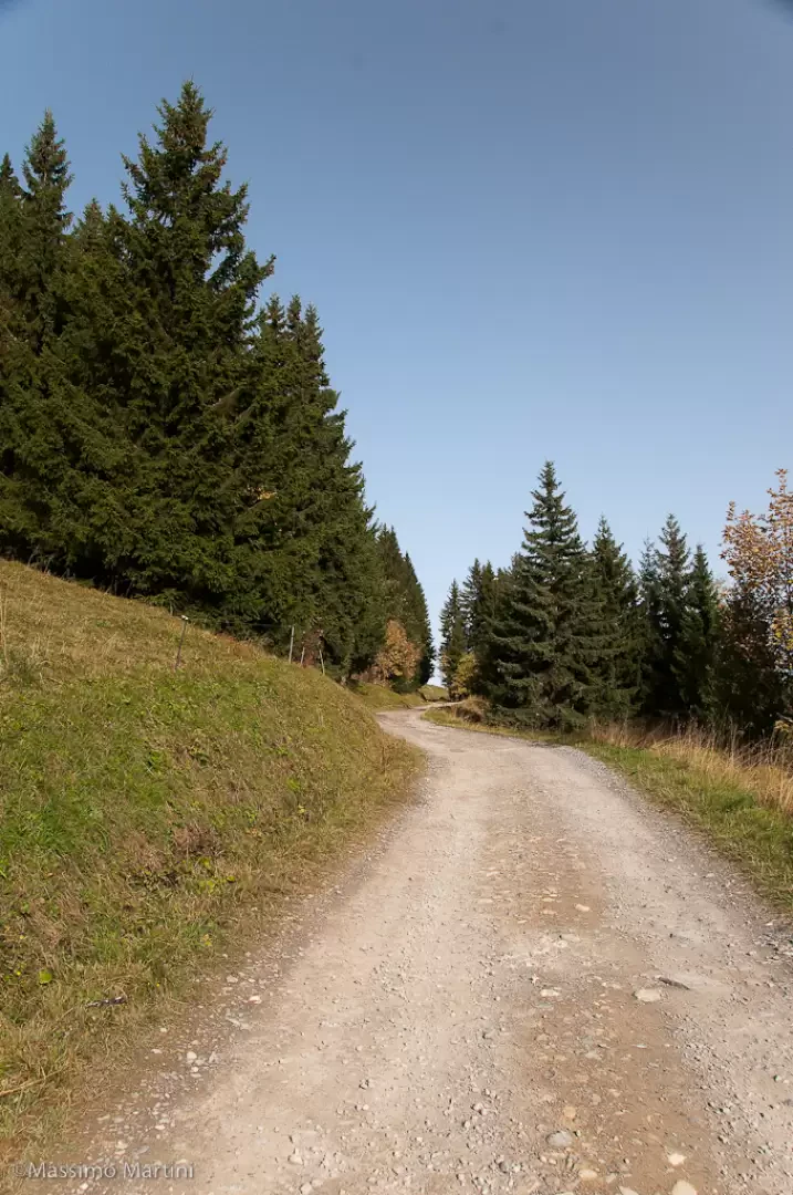
Continue along the little dirt road that after a short straight stretch turns left near an orientation board. Continue for a good distance in a southerly direction and then reverse direction with a hairpin bend at an altitude of 1495m. The dirt track climbs halfway up the ridge of Crêtet des Vernes, crossing first the Vanay ski lift and a little further on the Chattrix chair lift: once past the latter, take a wide left turn to reach Déchappieu (1,575m, 0h20').
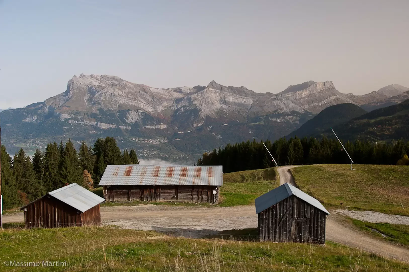
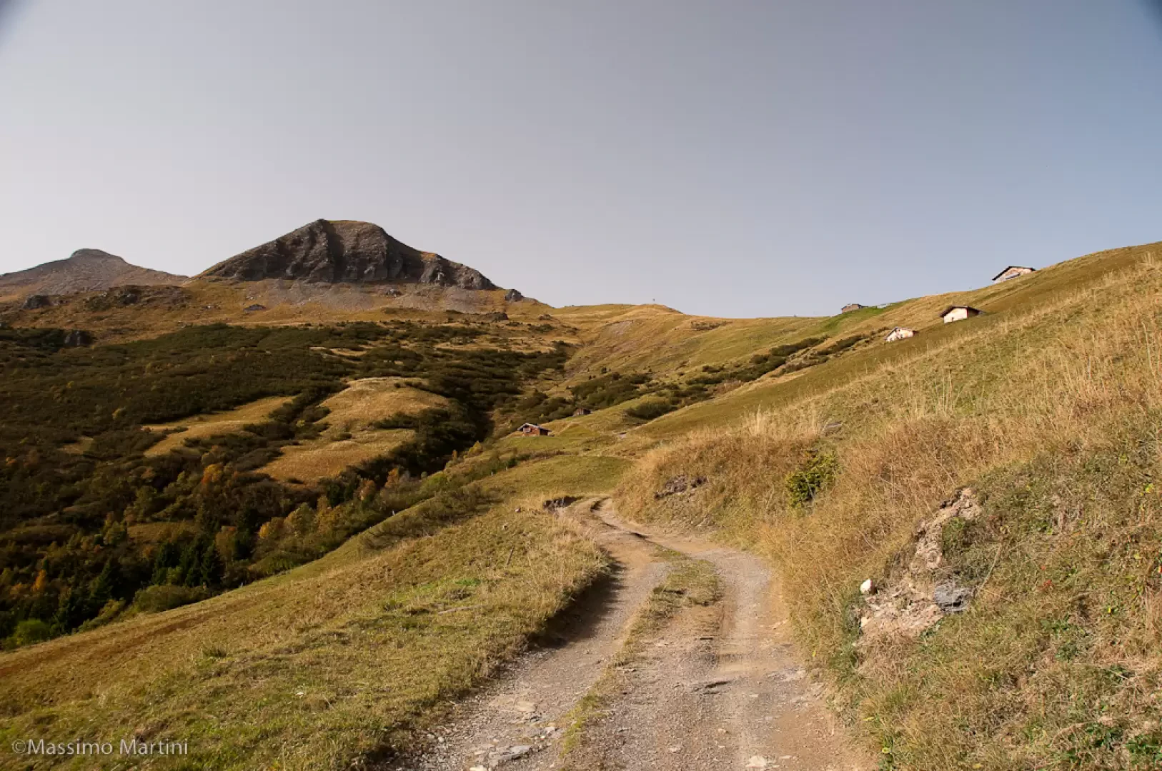
Neglect the track that branches off to the right and continue on the main track that, after a few bends, reaches the arrival point of the Chattrix chair lift and another fork (1,644m, 0h30'). Now follow the track that skirts a hamlet and continues practically flat in a southerly direction on the slopes of the rounded Tete du Vanay. You will come across a small refreshment stall, le P'tit Riquet, and a little further on a mountain pasture; the track starts to climb until it reaches a mission cross dating from 1927 at a crossroads (1713m, 0h45'): if you wish, you can continue straight on for a few hundred metres until you reach the Porcherey hut (1716m, 0h50').
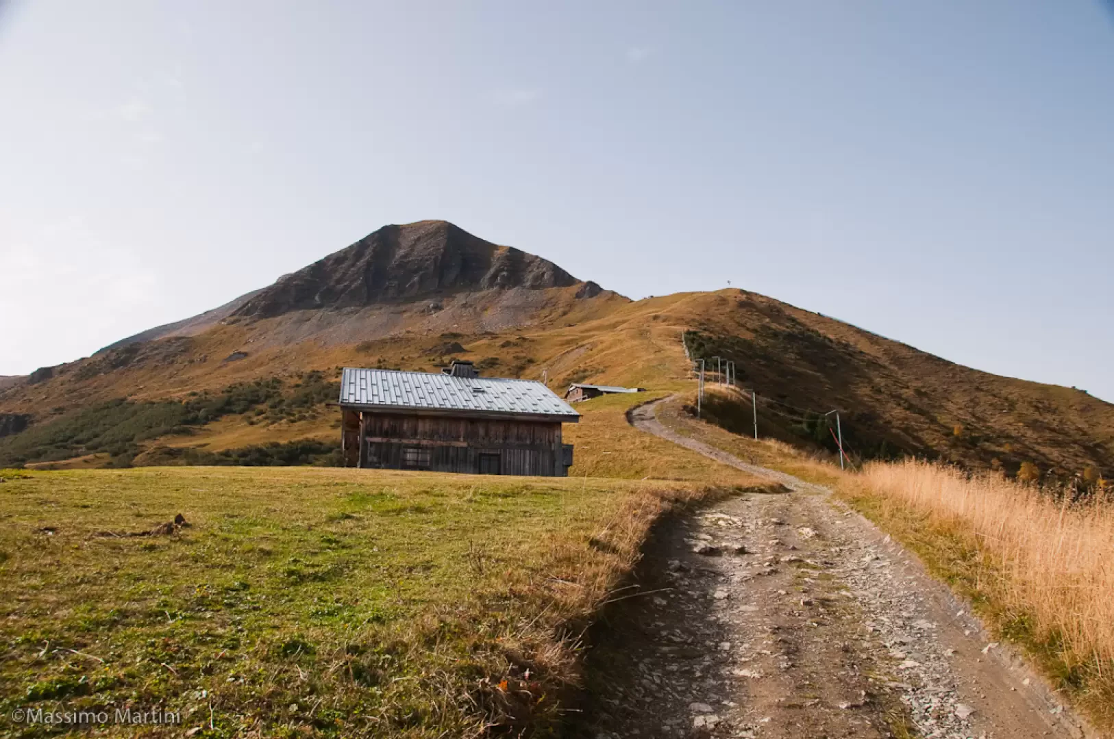
At the cross, turn right and begin the steep ascent, still on the dirt track, until you reach the ridge where there are signs for the ski slopes: turn left and go up the ridge until you come to a hamlet with a drinking fountain and, a little further on, the Les Marmottes refreshment hut. A few metres further on, you come to a crossroads (1937m, 1h15'). Take the path to the right that cuts across the slope at mid-slope; follow it for a good, almost flat stretch before a short climb that soon leads to the Pavillon du Mont Joly (2002, 1h30').
On the right of the refreshment area, a path starts out that follows the line of the ridge until it meets a new dirt track: turn right and climb up to a hairpin bend to the left and soon reach the ridge descending from Mont Géroux again. Follow the wide track to the right until you reach the arrival point of the Spalla del Joly chair lift (2126m, 1h50').
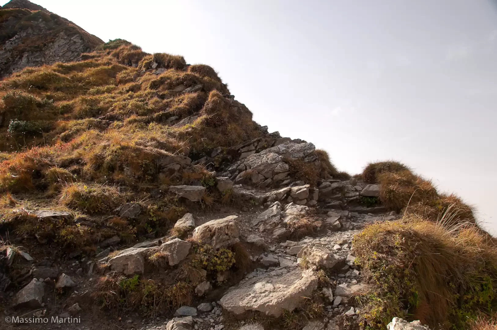
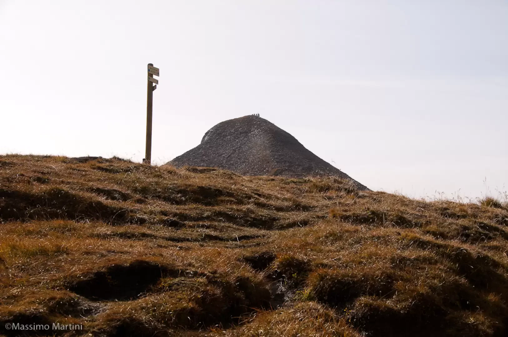
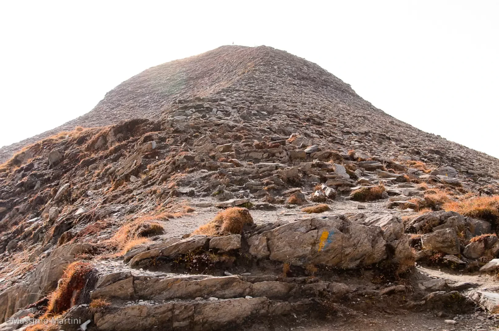
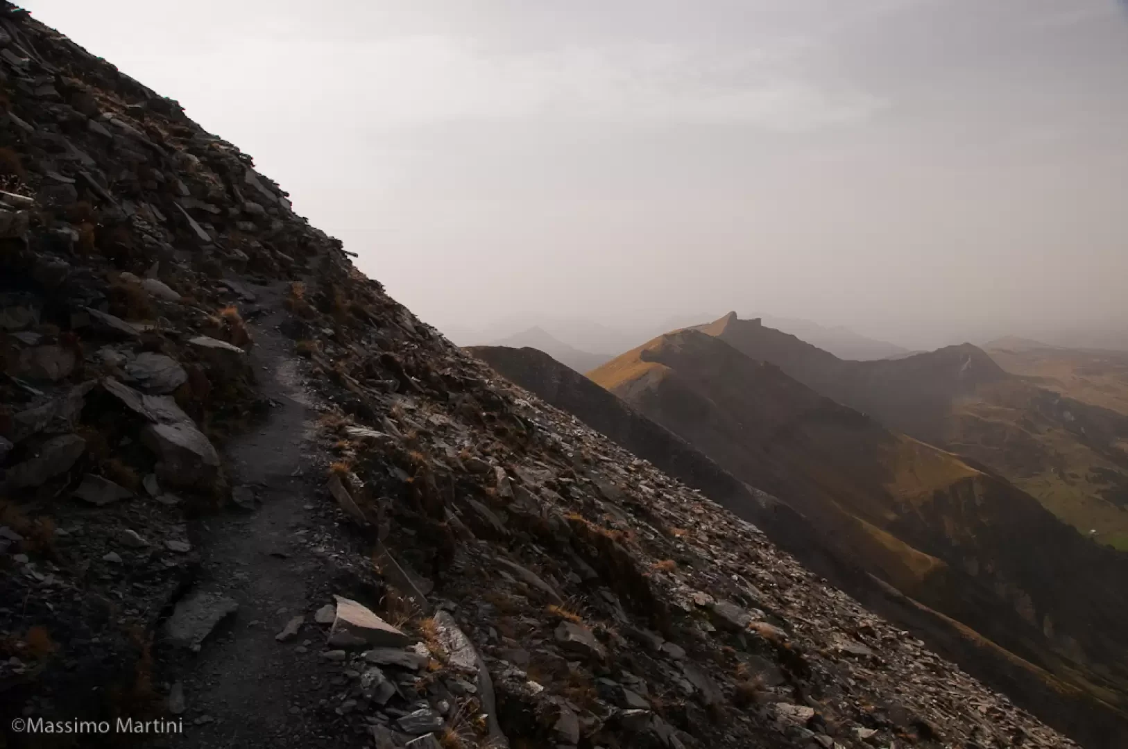
Opposite the chair lift cage is the path to the summit: the path climbs up the north ridge of Mont Géroux in a series of twists and turns; the path is stony in places with many intersections, but the line of the route is nevertheless clear, some blue-yellow markings accompanying the progression. The first part of the path keeps to the ridge and then joins the grassy part. You will soon reach the summit of Mont Géroux (2283m, 2h15'): this peak is not very significant from the ascent side, but it is nevertheless well pronounced and visible from the eastern side.
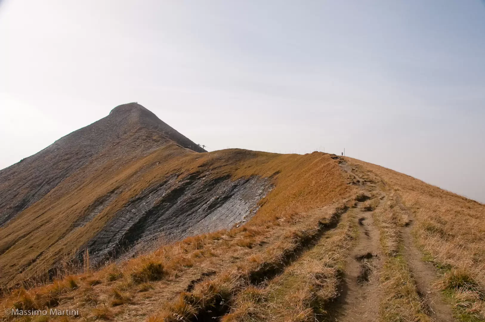
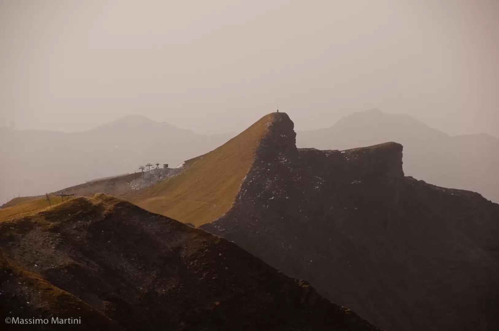
Continue along the beautiful ridge, slightly uphill, which runs in a southerly direction. In this section, you can take a rest while enjoying the remarkable panorama both on the eastern side with breathtaking views of the Mont Blanc massif and on the western side with views of Megève and the Aravis chain. On reaching the arrival point of the Mont Joly chairlift (2357m, 2h25'), start climbing again along the marked trail (there are many tracks here too). With a series of twists and turns, head towards the ridge line and then keep to the western slope along a long, almost level stretch. As the path starts to climb again, turn left and you will soon reach the summit of Mont Joly (2525m, 3h00').
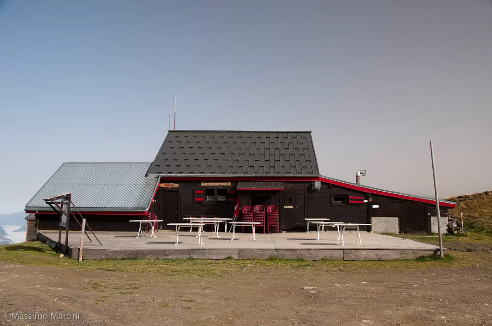
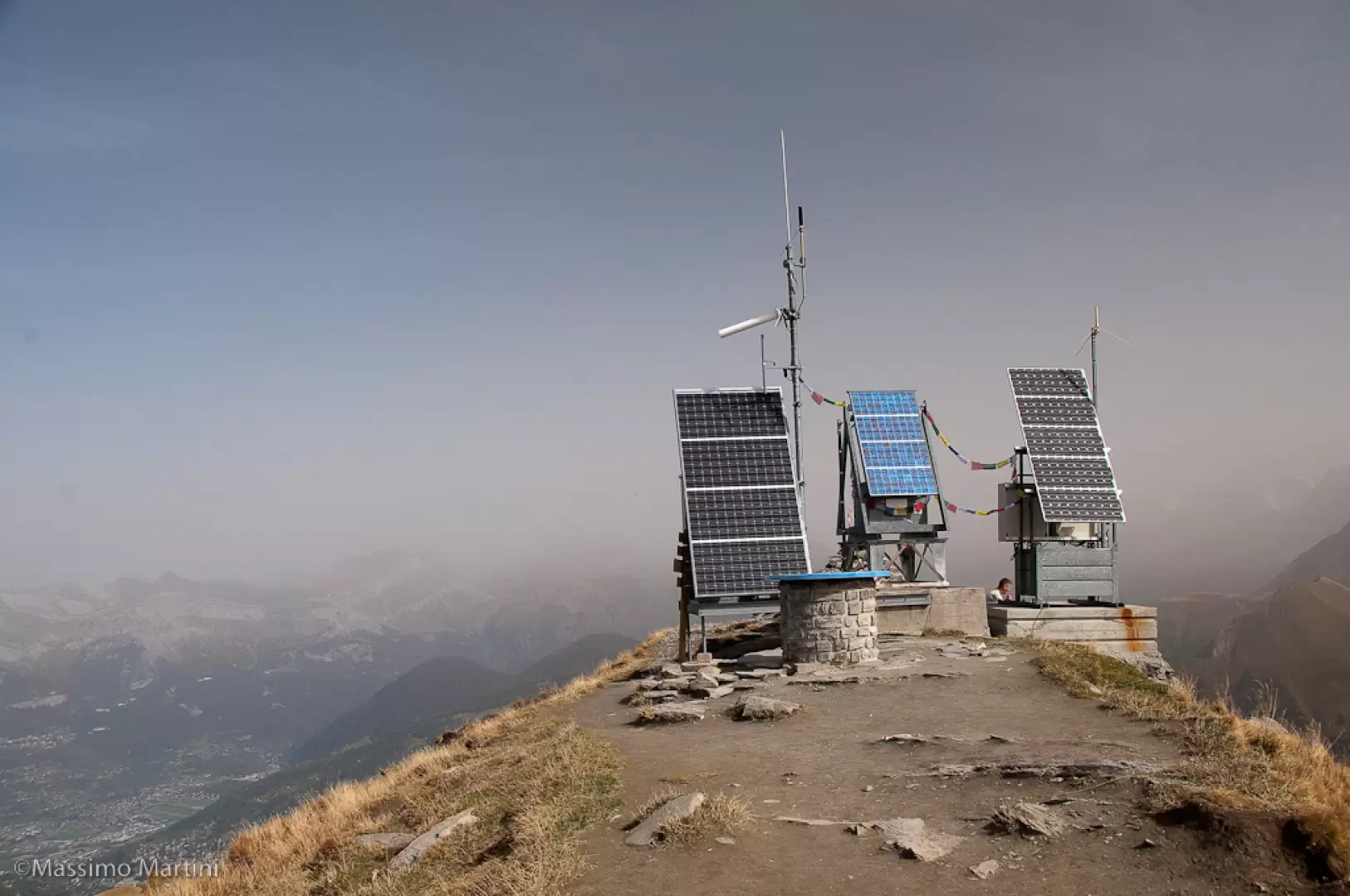
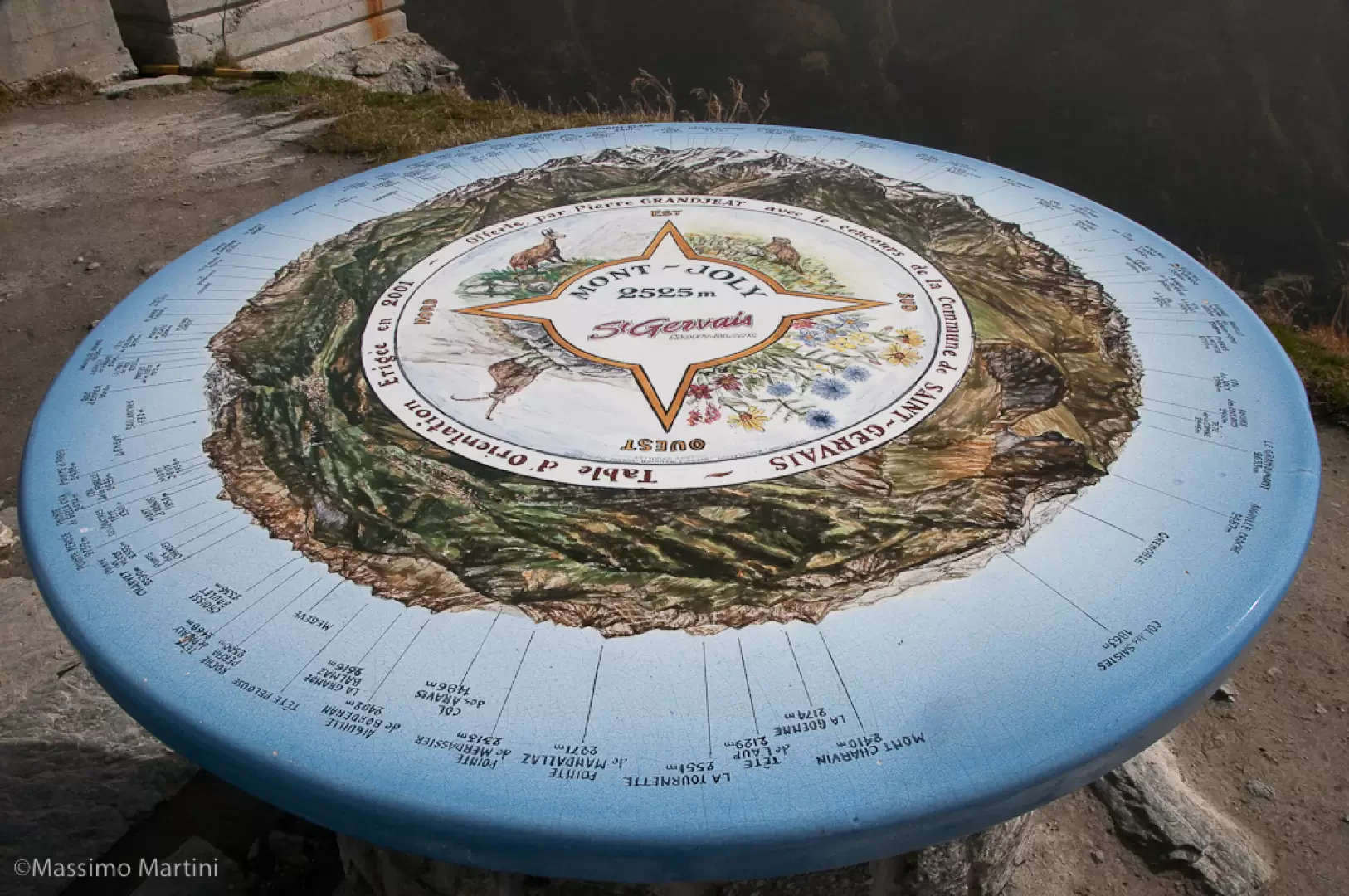
On the summit there is an orientation board and some solar panels that are a little too impactful.
The descent is on the same path as on the way up (2h00').
Photo gallery
Comments (0)
Sign in to leave a comment