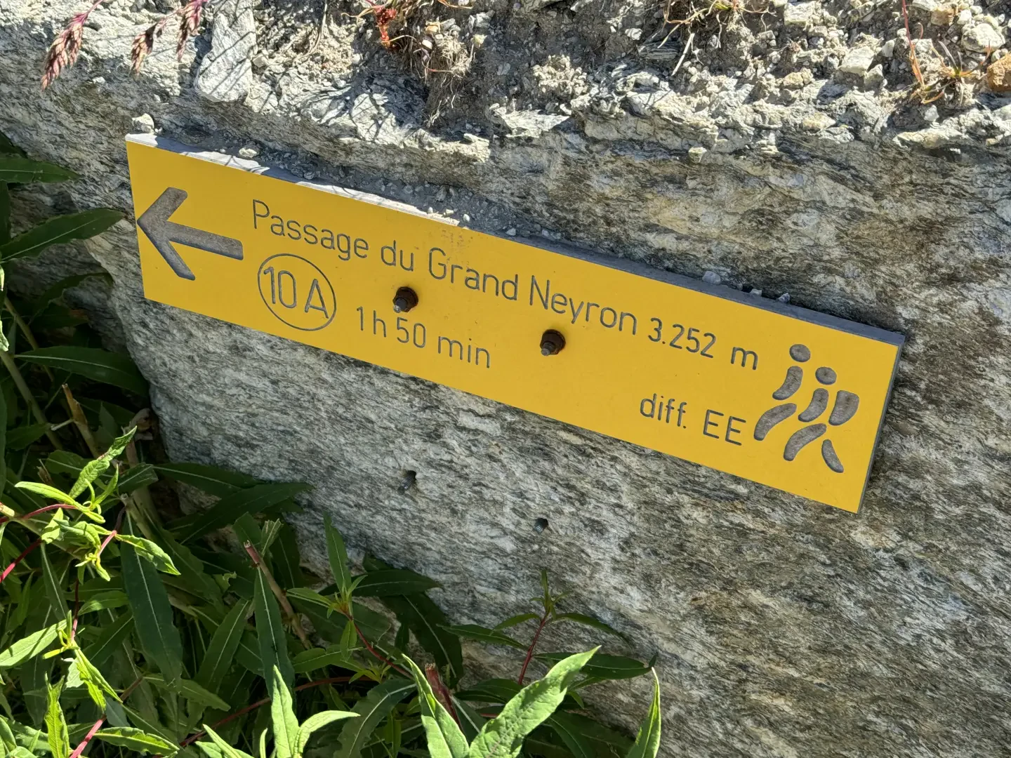
Passage du Grand Neyron, from Pravieux

Edited by:
Massimo Martini
Updated at: 09/10/2025
Access
From the motorway barrier at Aosta-West, keep left and follow the signs for Aosta - Saint-Pierre. After one kilometre, at the roundabout, take the second exit to join the national road . Continue on the state road for 4.3 kilometres, passing the village of Saint-Pierre until you reach a new roundabout with the Gran Paradiso National Park sign. Take the first exit and continue on the state road for 1.4 kilometres until you come to the exit for Introd/Rhemes S.G/Rhemes N.D/Valsavarenche. Continue for 700 metres and at the roundabout take the first exit onto for Valsavarenche. Follow the regional road for 3.9 kilometres, pass the village of Introd and, after a series of hairpin bends, you will reach the junction for Val di Rhêmes. Continue left on and climb the valley for a further 22.1 kilometres, passing the main town of Dégioz, the village of Eau Rousse and finally, after a couple of hairpin bends, you reach the Pravieux esplanade where, to the left of the direction of travel, there is a free car park 🅿️ dedicated to hikers and mountaineers who will proceed in the direction of the Chabod Refuge and the Gran Paradiso.
Pravieux can also be reached by bus with the Arriva company, leaving from Villeneuve in about 45 minutes.
Distance and travel time
🕒Travel time: 41 minutes
📏 Distance: 29.6 km
GPS navigation
📍 How to get there with Google Maps
📍 How to get there with Apple Maps
ℹ️ Important note
The directions provided have been verified as of the date of the survey of the route. Before departure, it is advisable to check for any changes to the route. For up-to-date and detailed directions, we recommend the use of Google Maps or Apple Maps.
Introduction
The Passage du Grand Neyron is a little-visited pass that opens up between the rocky foothills of the Punta Money and the spurs of the Neyron ridge. The excursion, which is long and demanding, crosses highly suggestive environments: from the larch forest of the lower Savara valley to the alpine pastures of Lavassey, to the austere high-altitude scenery dominated by the glaciers and the northern walls of the Gran Paradiso. The route initially follows the classic route to the Vittorio Emanuele II hut, then deviates towards the Chabod hut and, beyond the latter, enters increasingly severe and detrital terrain, where there are sections on boulders, gullies and traverses. This itinerary is suitable for experienced hikers, requiring sure-footedness and familiarity with high mountain routes. It is one of the most iconic passages of the Tor des Glaciers, an endurance trail competition that follows the ancient high routes 3 and 4 of the Aosta Valley.
Description
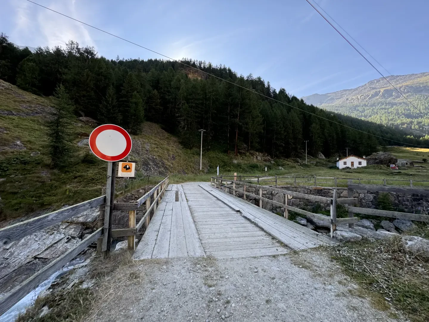
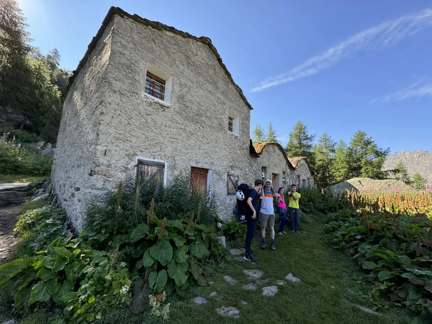
0h00' 0.00km Leave the car park and, after meeting the signpost indicating the paths in the area, cross the Torrent Savara on the wooden bridge and then turn slightly right towards the hamlet of Pravieux dessous (1835m) near which the little road becomes a mule track.
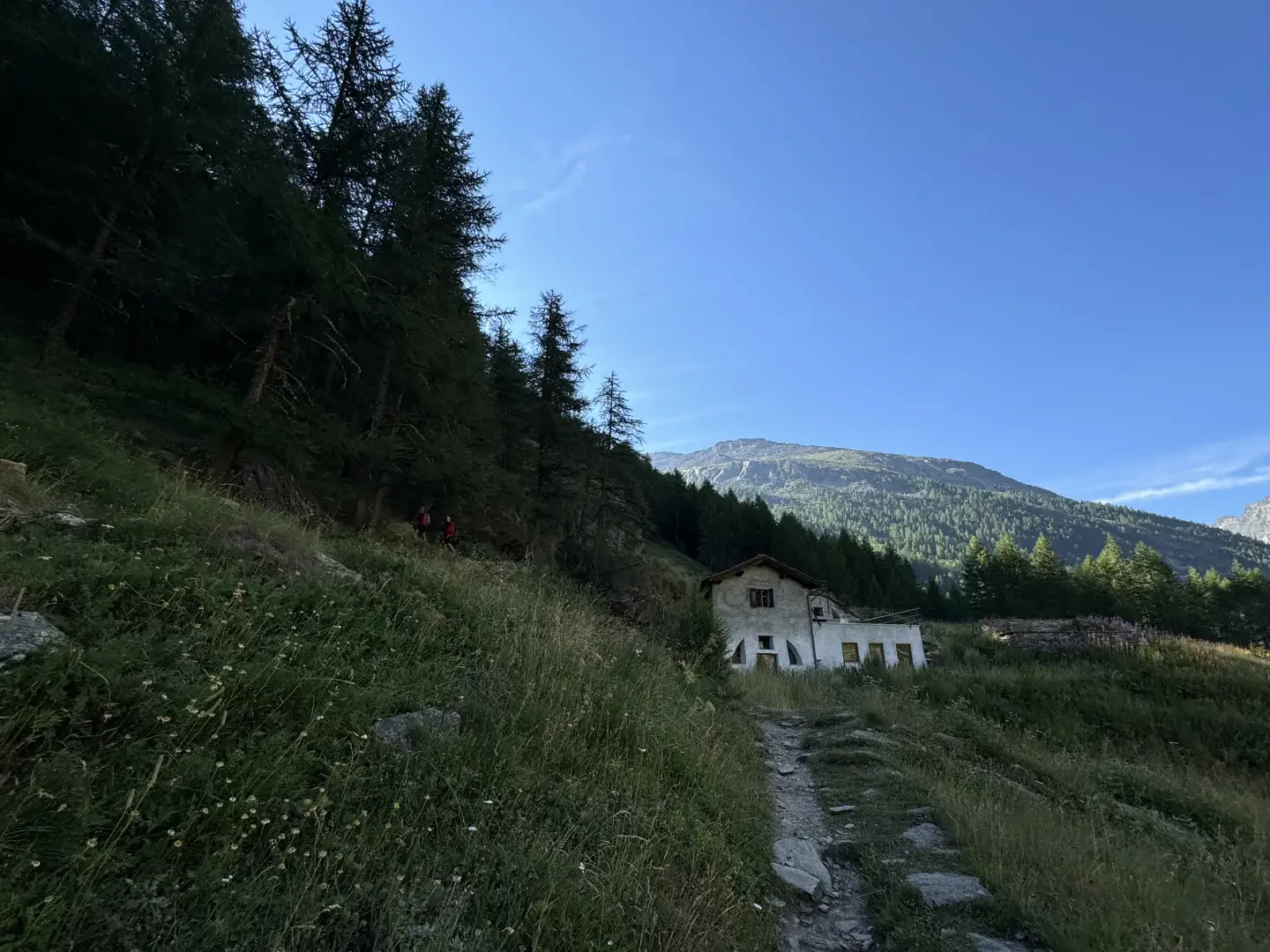
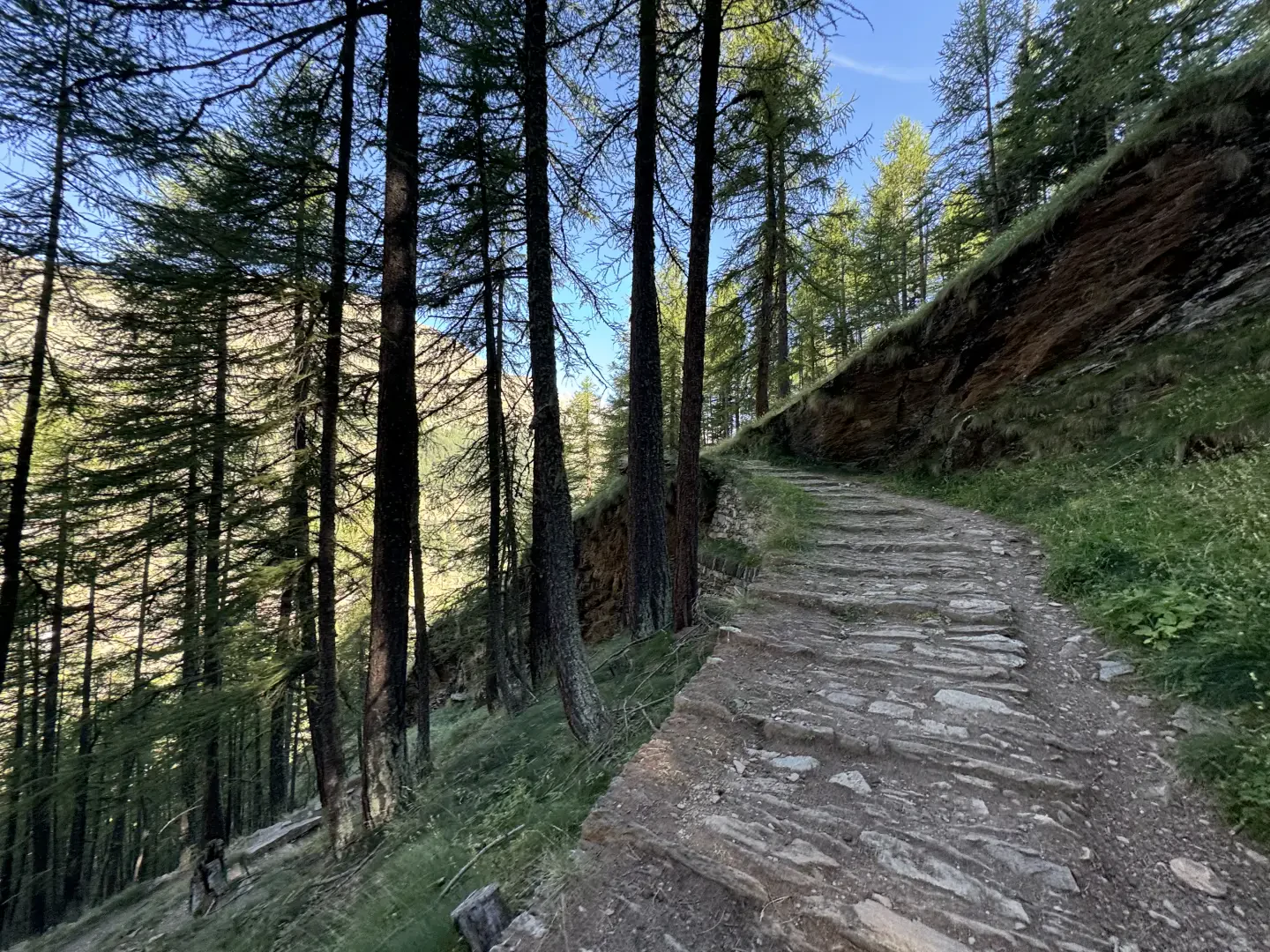
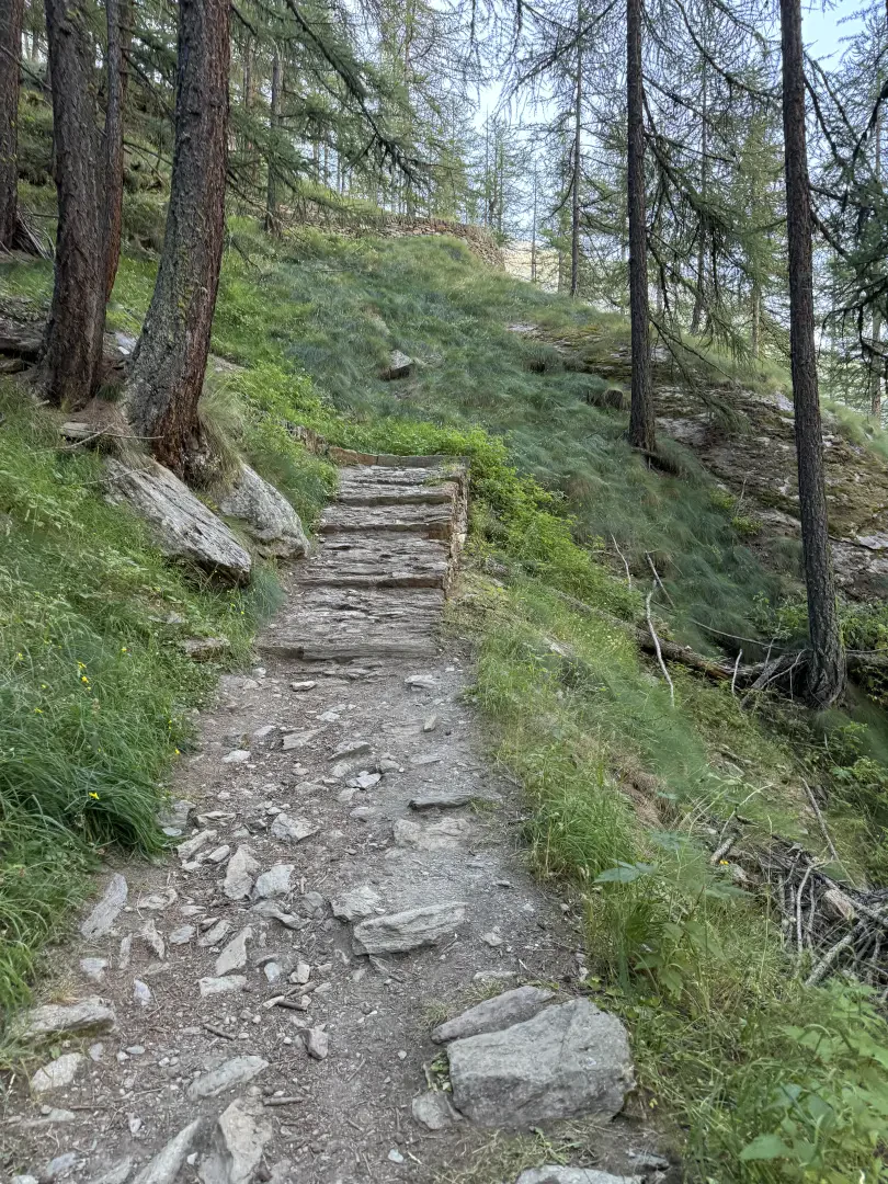
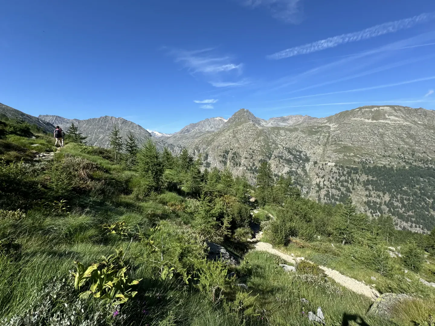
0h02' 0.12km Enter the larch forest and start to climb up the beautiful mule track, meeting the Pravieux alp (1869m) after a few moments. A series of twists and turns follow, allowing you to climb the difference in altitude without any particular effort. As you climb the ridge of the valley, the Gran Paradiso and Ciarforon groups appear to us in all their beauty. After about an hour's walk, you gradually leave the forest and arrive at the Lavassey mountain (2194m).
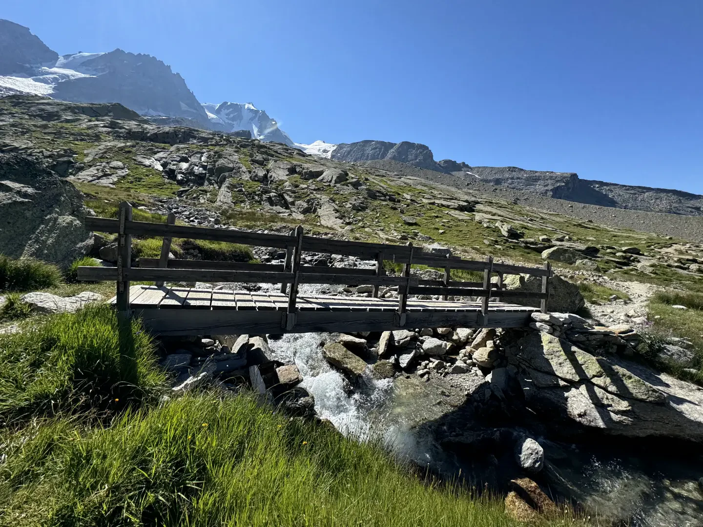
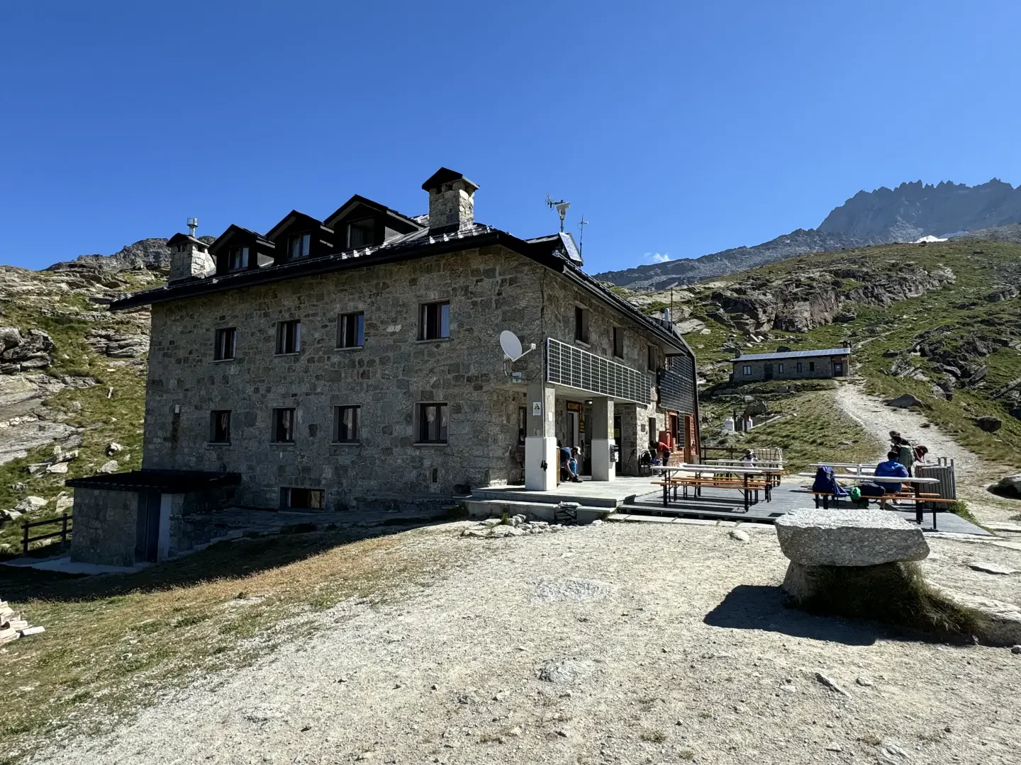
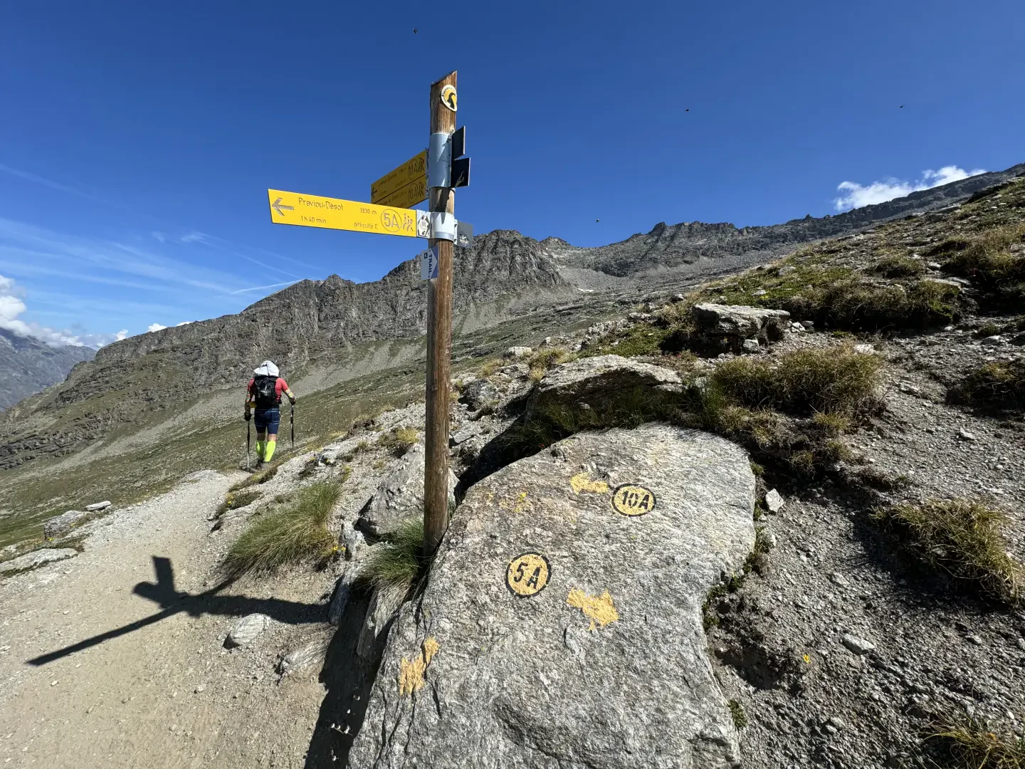
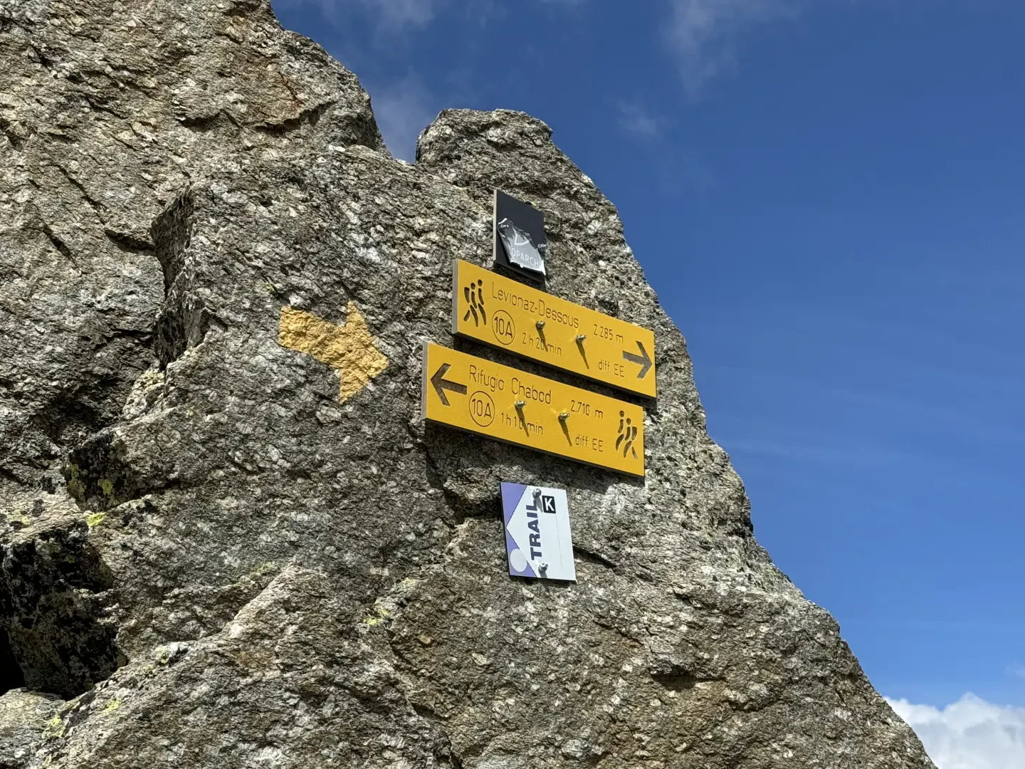
From here, continue along trail marker No. 5 towards the Chabod Refuge. The path climbs up wide alpine meadows, skirts the stream and, after a long traverse, leads into view of the hut. Having ignored a wooden bridge on the right, keep to the left and, after a few hairpin bends, gain height until you reach the panoramic ridge where the Chabod hut stands (2,710 m, 2h15).
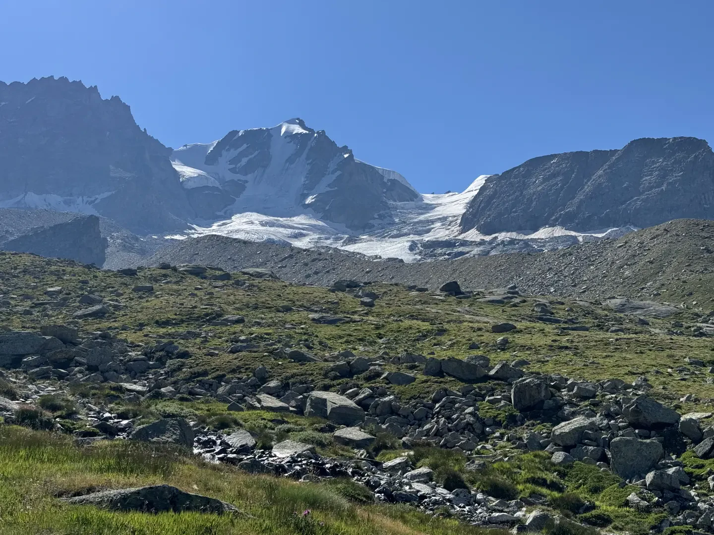
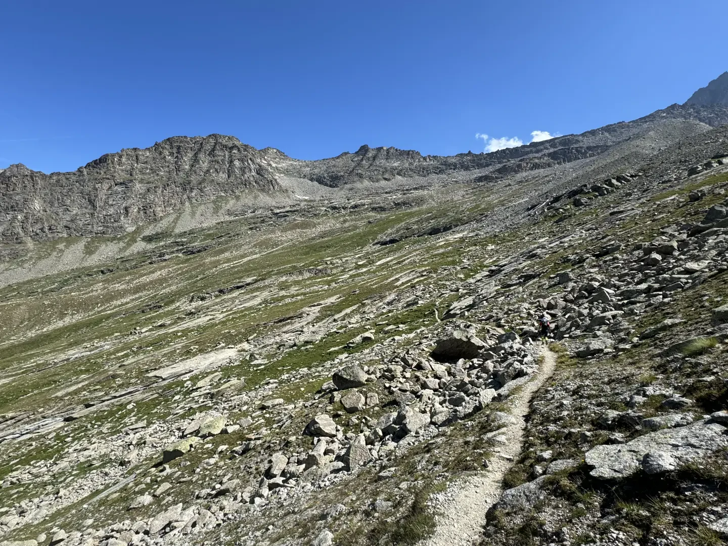
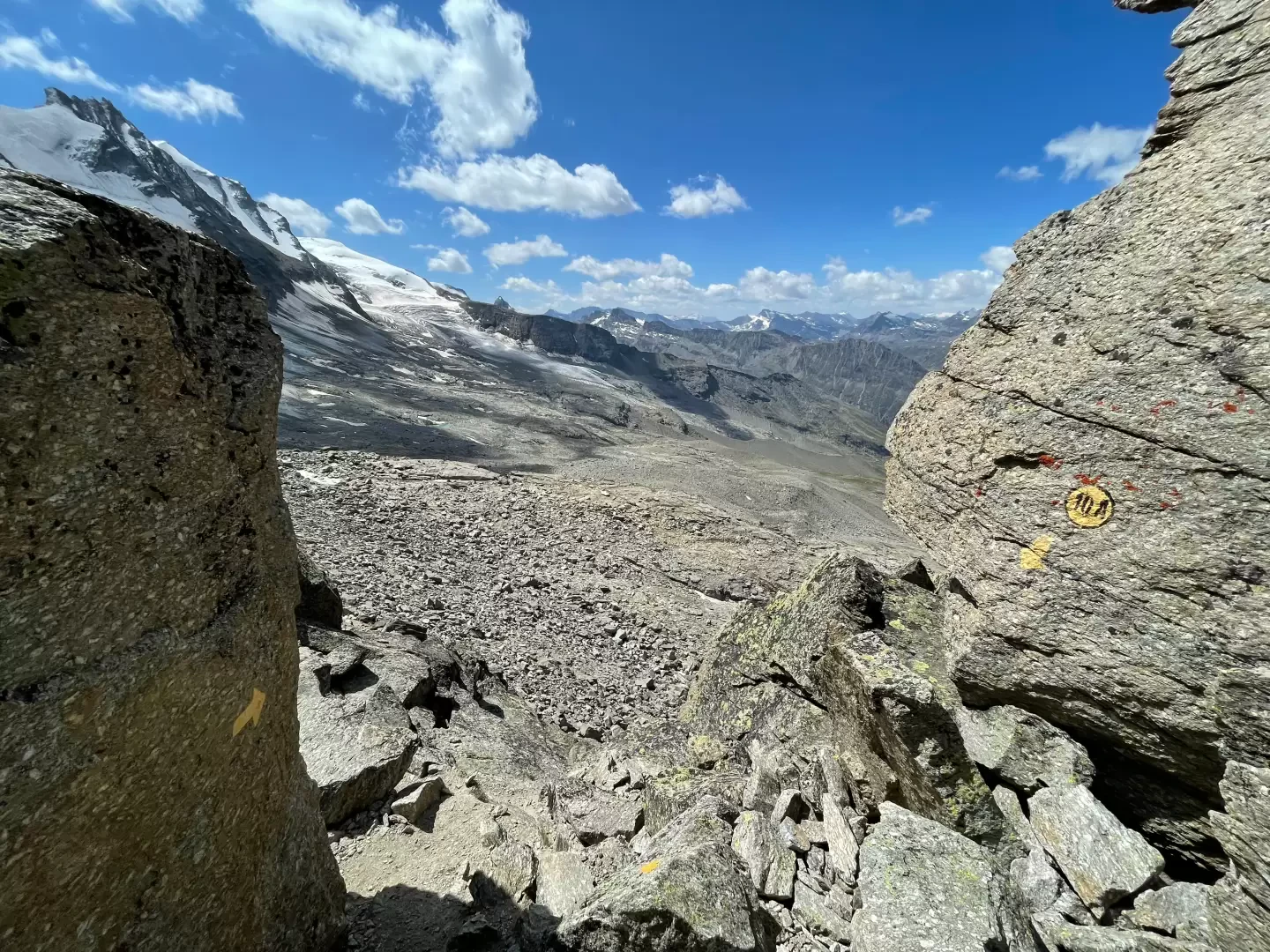
From the hut, follow the track that rises towards the winter building, then turn left, guided by large cairns, to reach a marked fork (2,760 m). Continue straight on, entering a valley of moraines and streams, crossing smooth slabs and small scree slopes. The path, well marked with yellow bolts, leads below the foothills of Punta Money.
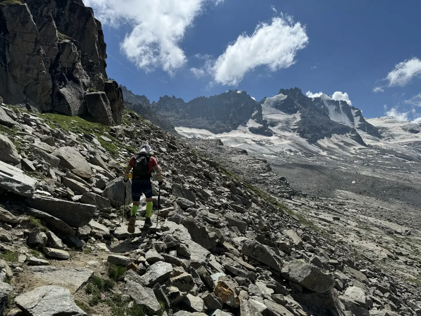
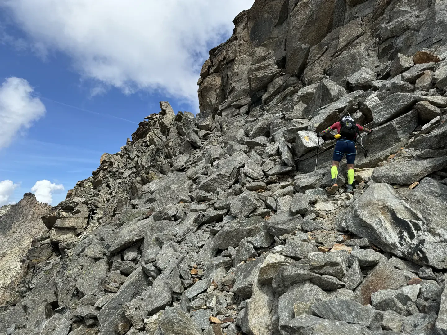
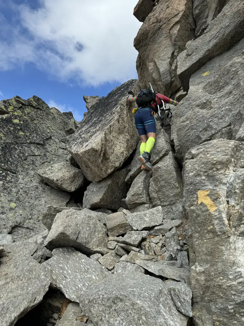
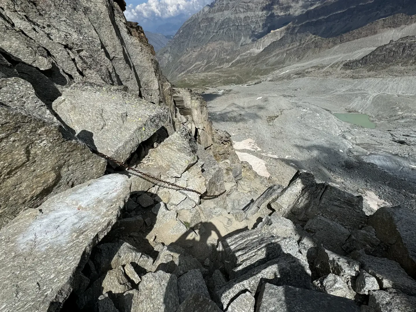
With a few hairpin bends, climb up a grassy, scree slope, then traverse under a rocky rampart. Having passed a wide gully, continue traversing over scree to a wide scree slope, which you cross, looking for the easiest passages between the boulders. In this section, the track gets lost in places, but is always assisted by cairns and signs.
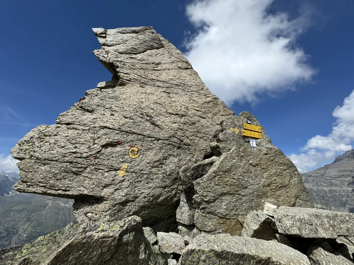
Approaching the rocks, turn left to ascend a steep gully, beyond which you ascend a ledge. A last short traverse takes you to the narrow notch of the Passage du Grand Neyron (about 3,300 m, 5h00). The view opens out onto the wild Leviona slope, characterised by rocky crags and steep slopes.
The descent is along the same route, taking care in the sections of scree and gullies.
Points of Interest
Collections
Galleria fotografica