Ranpikino, from Cloz to Cagnò


Edited by:
Maurizio Loconti
Updated at: 03/11/2025
Access
Parking at the Cloz sports field 895 m in Val di Non.
Introduction
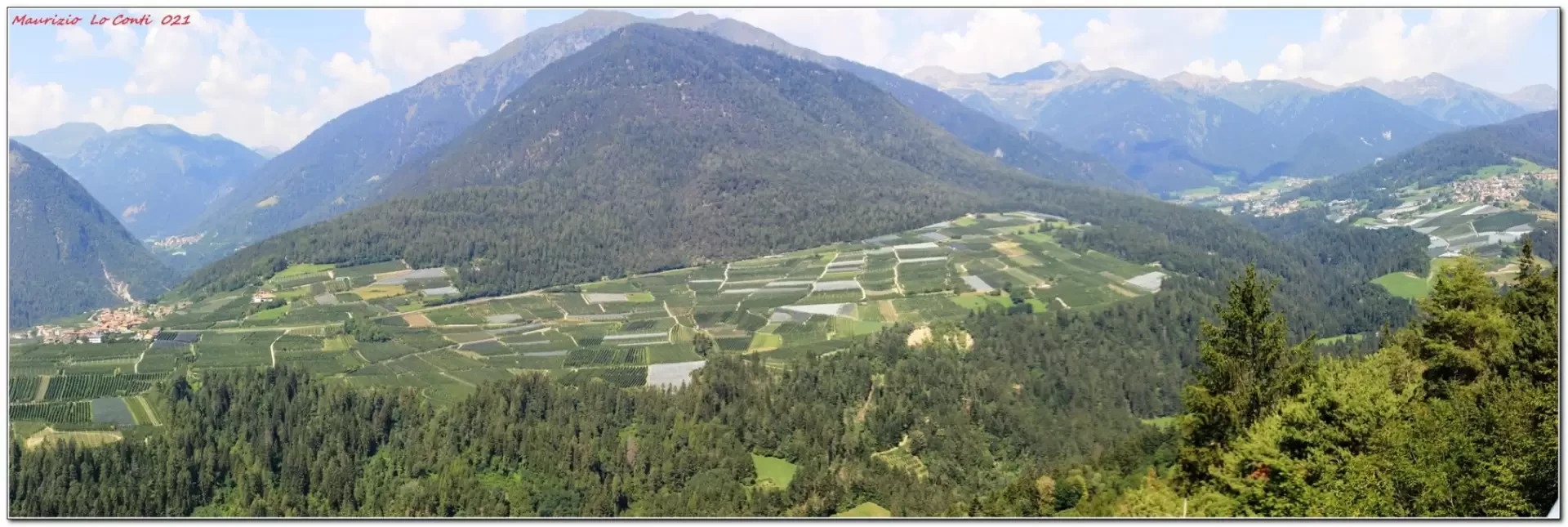
Easy route, useful in summer when perhaps the weather, at higher altitudes, is more higher altitudes, is more unstable... The Rankipino is a cycle-pedestrian path (57 km) that crosses Val di Non and connects Passo Palade with Val di Sole. This selected section is just one section: the easiest.
Description
0h00' Very easily you traverse the wide track without any difficulty. You pass relaxing apple orchards. At a fork, you go right.... You find a beautiful panoramic terrace, but continue on... you join the asphalt road and descend along it to the junction with the road to Alta Val di Non. Here there is a picnic area where you can take a break. 2h15' After leaving the main track, you descend for a few more minutes along the carriageway to an agricultural road for the owners of various plots of land. With it, in 1h, you descend to Cagnò (663 m). From here, take the bus back to Cloz (please check the timetable: there are only a few journeys...) 3h15'.
In summary: a fairly good day's descent +40 m Dif. T 14.7 km (10+4.7) +1.3 to return to the Cloz sports field from the car (+120 m dis. + 20') for about 3h15/3h30 Tot. + all the breaks to see the various places you come across Comfort: excellent
If you wish, here is the photo pdf file, with a little more information:
http://cralgalliera.altervista.org/VacEst021F.pdf
http://www.cralgalliera.altervista.org/anno2021.htm
http://www.cralgalliera.altervista.org/altre2021.htm
NB: In the case of an excursion, always check with FIE, Cai, any park authority or other institutions, pro loco, etc., that there have been no changes that have increased the difficulties! No liability is accepted. The present text is purely indicative and not exhaustive.
Info Hiking Section Cral Galliera: http://www.cralgalliera.altervista.org/esc.htm
trips 2021 at the link: http://www.cralgalliera.altervista.org/gite021.pdf
General Information
Signposting: SAT
Type of route: traverse
Recommended period: May, June, July, August, September, October
Exposure to the sun: south
Objective Danger: none
Exposed Tracts: none
Useful Equipment:normal daily hiking equipment
Water: n.r.
Photo gallery
Comments (0)
Sign in to leave a comment