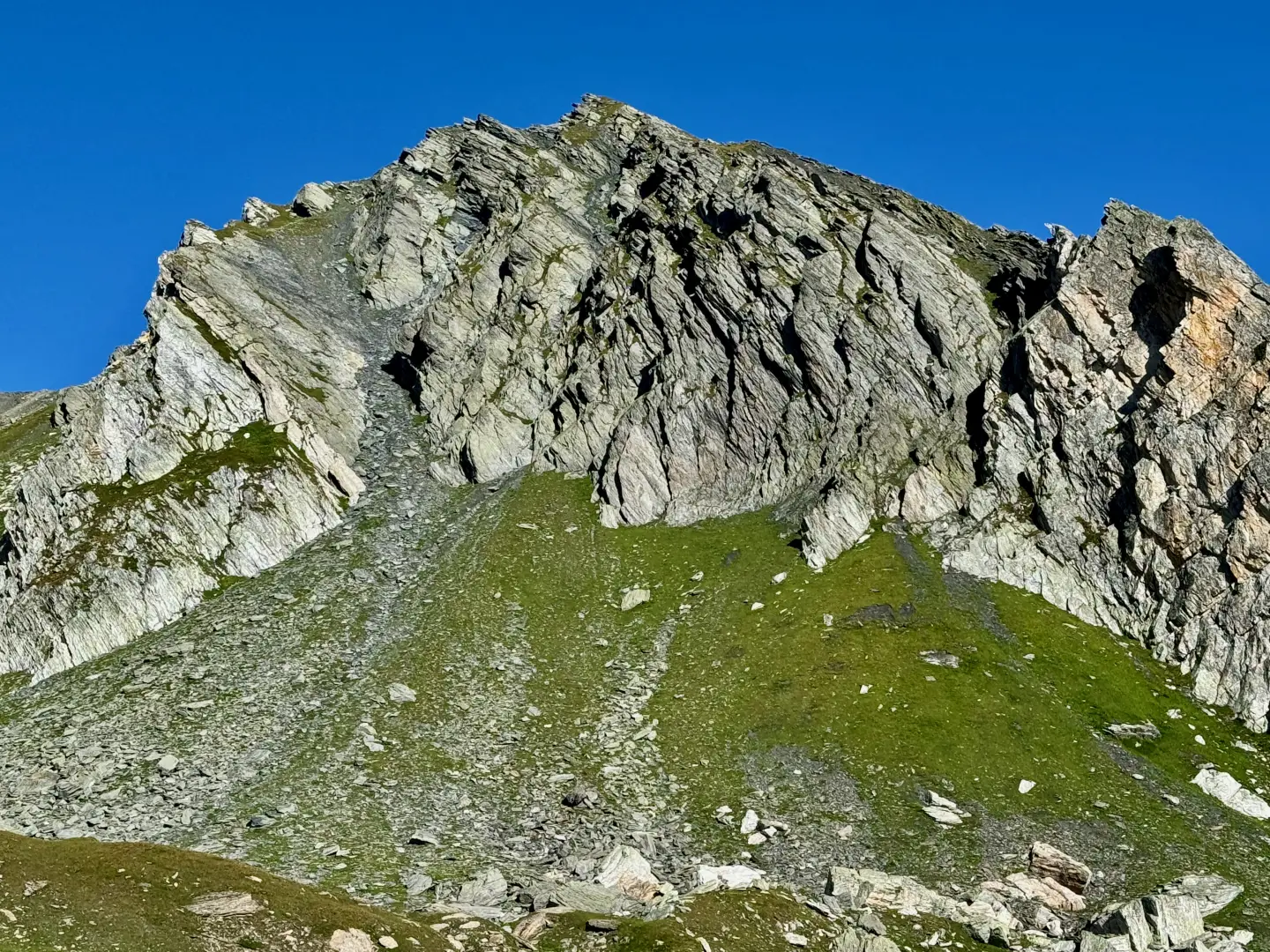
Tête de Fenêtre, from Baou

Access
Leave the motorway at the Aosta Est barrier. Turn right and take the dual carriageway in the direction of the Gran San Bernardo Tunnel. Continue for 8.4 kilometres until you reach the village of Signayes. Continue straight on the highway and drive up the valley, passing the villages of Gignod, Etroubles and Saint-Oyen. After about 24.5 kilometres from Aosta East, reach the junction for the Great St Bernard Pass. Turn right and continue along the panoramic road for another 12.6 kilometres until reaching the Baou alpine pasture, just before the pass. There is a free car park here, reserved for refreshment point customers.
⚠️ The car park is often very crowded, especially on summer weekends: it is advisable to arrive early in the morning to avoid difficulties.
The starting point of the route cannot be reached by public transport, so it is necessary to use a private vehicle.
Distance and travel time
🕒 Travel time: 41 minutes
📏 Distance: 37.1 km
GPS navigation
📍 How to get there with GMaps
📍 How to get there with Apple Maps
ℹ️ Important note
The directions provided have been verified as of the date of the route survey. Before departure, it is advisable to check for any changes to the route. For up-to-date and detailed directions, we recommend the use of Google Maps or Apple Maps.
.Introduction
This hike leads to the Tête de Fenêtre, a grassy, panoramic elevation on the ridge separating the Great St. Bernard Valley from the Swiss Val Ferret. The route runs along well-marked paths, between pastures and grassy terraces, with climbs that are never too steep and a variety of environments accompanying the walk to the summit.
From Baou, follow the path that gently ascends the southern slope of the Fourchon-Chenalette ridge. When you reach the Fenêtre de Ferret, an old border crossing, you continue along a more open and airy line, between gentle ups and downs and rocky outcrops, to the summit: a splendid natural balcony overlooking the Mont Blanc glaciers, Val Ferret and the nearby Fenêtre Lakes, which are worth a short diversions on the return journey.
Easy and rewarding, this ascent offers a gradual immersion in a border landscape, where nature becomes vast and silent, and the gaze can roam freely over both sides of the Alps.
Description
0h00' 0.00km From the car park, head towards the signpost indicating the main itineraries in the area and take the dirt track that leads to the Baou mountain pasture-restaurant (2369m) until you come to the junction with the path.
0h02' 0.03km Take the path on the right and follow it halfway up the hillside between the pastures towards the sharp Tour des Fous (2576m), before turning right again to enter a small valley crossed by a small stream, which must be forded at about 2400m. Continue on the orographic right of the gorge, climbing the grassy slope interspersed with stretches of rocky outcrops on the easy and obvious path around the rounded summit at an altitude of 2556m, until it enters the beautiful grassy basin at the foot of the Tête Fenêtre (2823m) and the junction for Mont Fourchon (2902m).
0h20' 0.54km Continue on the path to the right, crossing the pleasant grassy basin and green pastures. The path, with a moderate gradient, heads towards the southern slope of the Fourchon-Grande Chenalette ridge. When you reach the base of the slope, start climbing again with greater intensity, making several wide turns that allow you to gain altitude. After a short diagonal turn to the right, you will reach a stretch of boulder scree that precedes the characteristic white detrital rocks of the Tête de Fonteinte. Continue straight on until you reach the marker indicating the arrival at the border and the Fenêtre de Ferret (2698m) 0h55' 1.36km .
0h30' 1.36km Follow the path that climbs to the left, passing a first grassy hump. Then proceed between slight ups and downs until climbing a second rise. After a short descent, cross a ridge and continue the ascent along gentle meadowy undulations. Continue along the track, which becomes more and more regular, until you reach the base of the final slope, marked by fractured rocks. At an altitude of 2,804 metres you come to a fork: ignore the faint track heading to the right and instead follow the one to the left, indicated by a small stone cairn. From here, face a steeper ascent, climbing up the scree slope with a few narrow hairpin bends. In a short time, you will reach the summit, which is spacious and with a wide view 1h25' 1.91km .
The descent follows the same route as the ascent 0h45' 1.80km .
Point of Interest
Collections
- hikes departing from Baou - on the map
- hikes in the Great St. Bernard Valley - on the map
- hiking in the Great St. Bernard Valley - on the map
- hiking the 2000 peaks of the Aosta Valley - on the map