Cignana Window, from Les Perrères


Edited by:
Massimo Martini
Updated at: 13/07/2026
Access
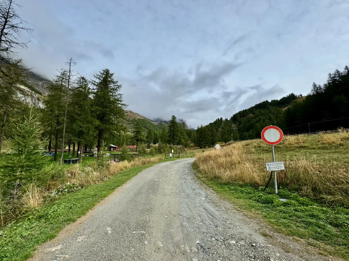
Leave the motorway junction at Châtillon-Saint-Vincent. Turn left and continue for about 300 metres to the roundabout. Take the third exit onto Via Émile Chanoux and follow it for about 600 metres, passing through the historic centre of Châtillon. Turn slightly right onto Via Menabreaz and continue for 450 metres to the roundabout with the Matterhorn monument in the centre. Take the second exit and enter the Regional Road in the direction of Valtournenche. Continue on for about 26.7 km, passing through the municipalities of Antey-Saint-André and Valtournenche. Pass the Goffres de Bousserailles and negotiate a few hairpin bends followed by a short section through a tunnel. At the exit, reach the locality of Les Perrères: turn left and descend to the large parking area 🅿️ where you can leave your car free of charge.
The starting point of the itinerary is served by public transport. To consult the timetable, visit aosta.arriva.it
Distance and travel time
🕒 Travel time: 37 minutes
📏 Distance: 25 km
GPS navigation
📍 How to get there with Google Maps
📍 How to get there with Apple Maps
ℹ️ Important note
The information provided was verified on the date of the survey of the route. Before departure, it is advisable to check for any changes to the route. For up-to-date and detailed directions, we recommend the use of Google Maps or Apple Maps.
Introduction
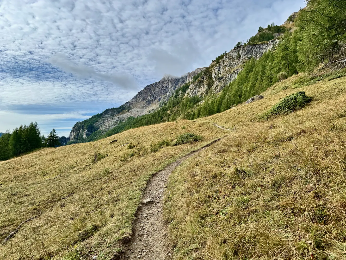
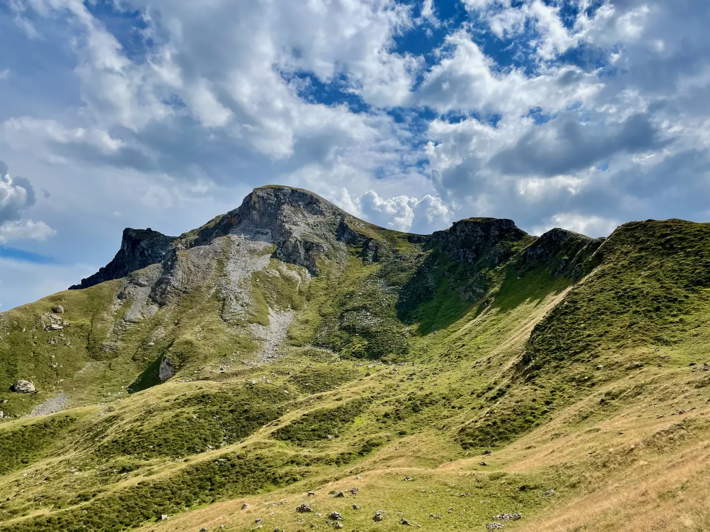
The Finestra di Cignana is a wide grassy inlet separating Mont Pancherot from Mont Seriola, connecting the Comba di Cignana with the head of Valtournenche. The hike from Les Perrères follows a little-visited slope, which retains a wild and unspoilt environmental charm. The route crosses larch forests, now abandoned pastures and avalanche gullies, where it is not rare to surprise chamois or roe deer. Along the ascent, you will come across ruins and ancient alpine settlements that tell of an agro-pastoral past that has now disappeared.
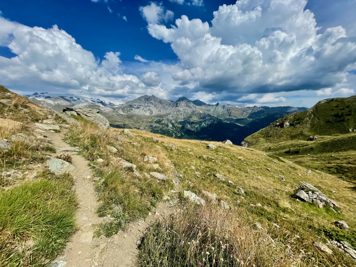
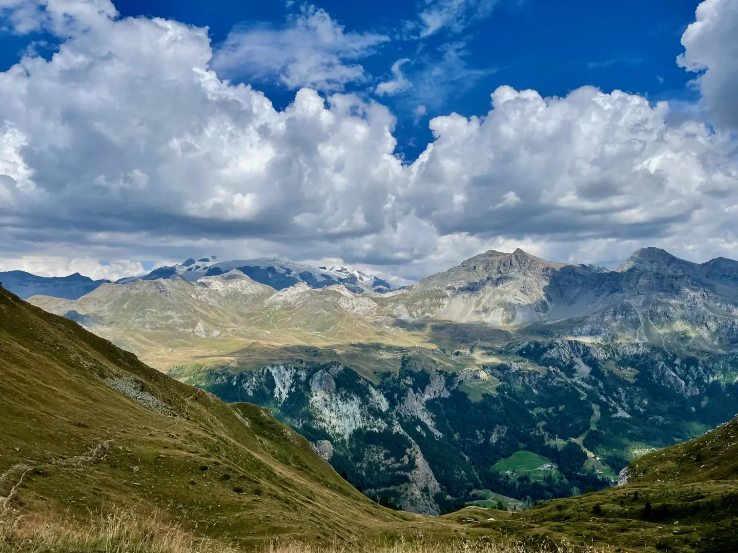
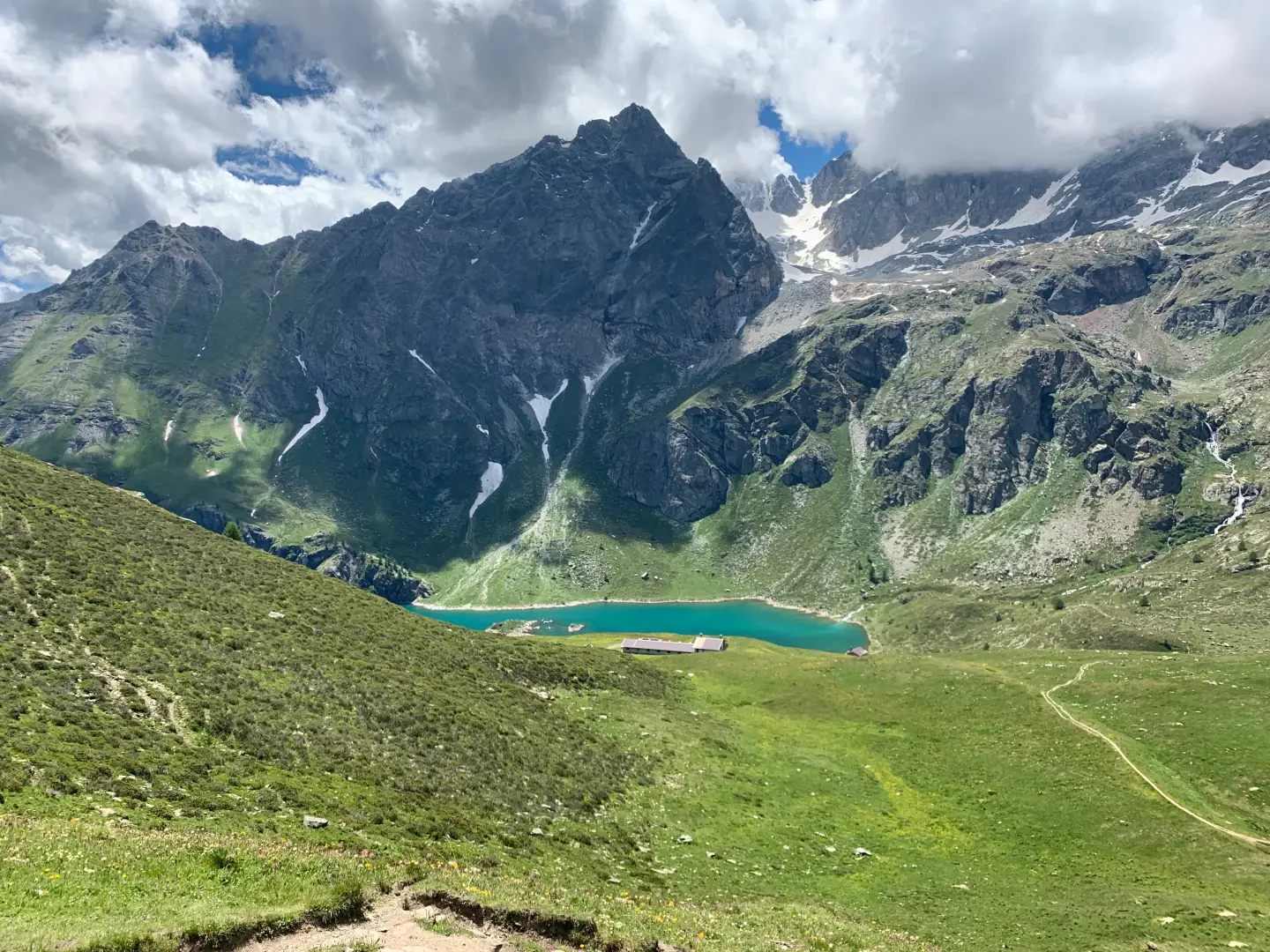
The pass is crossed by the Tour du Cervin and offers a suggestive view of the Lac de Cignana reservoir, framed by peaks such as the Pointe du Tsan and the Château des Dames massif. An itinerary of medium difficulty combining nature, history and high altitude scenery.
.Description
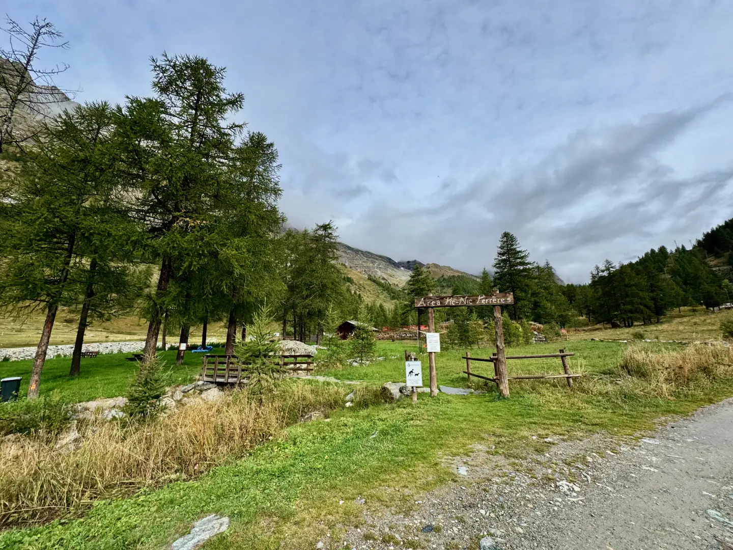
0h00' 0.00km From the car park, head north along the dirt road that initially runs alongside the 'Perrères' picnic area, until you reach a signpost located near a stream.
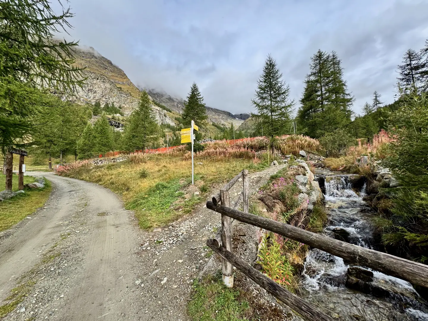
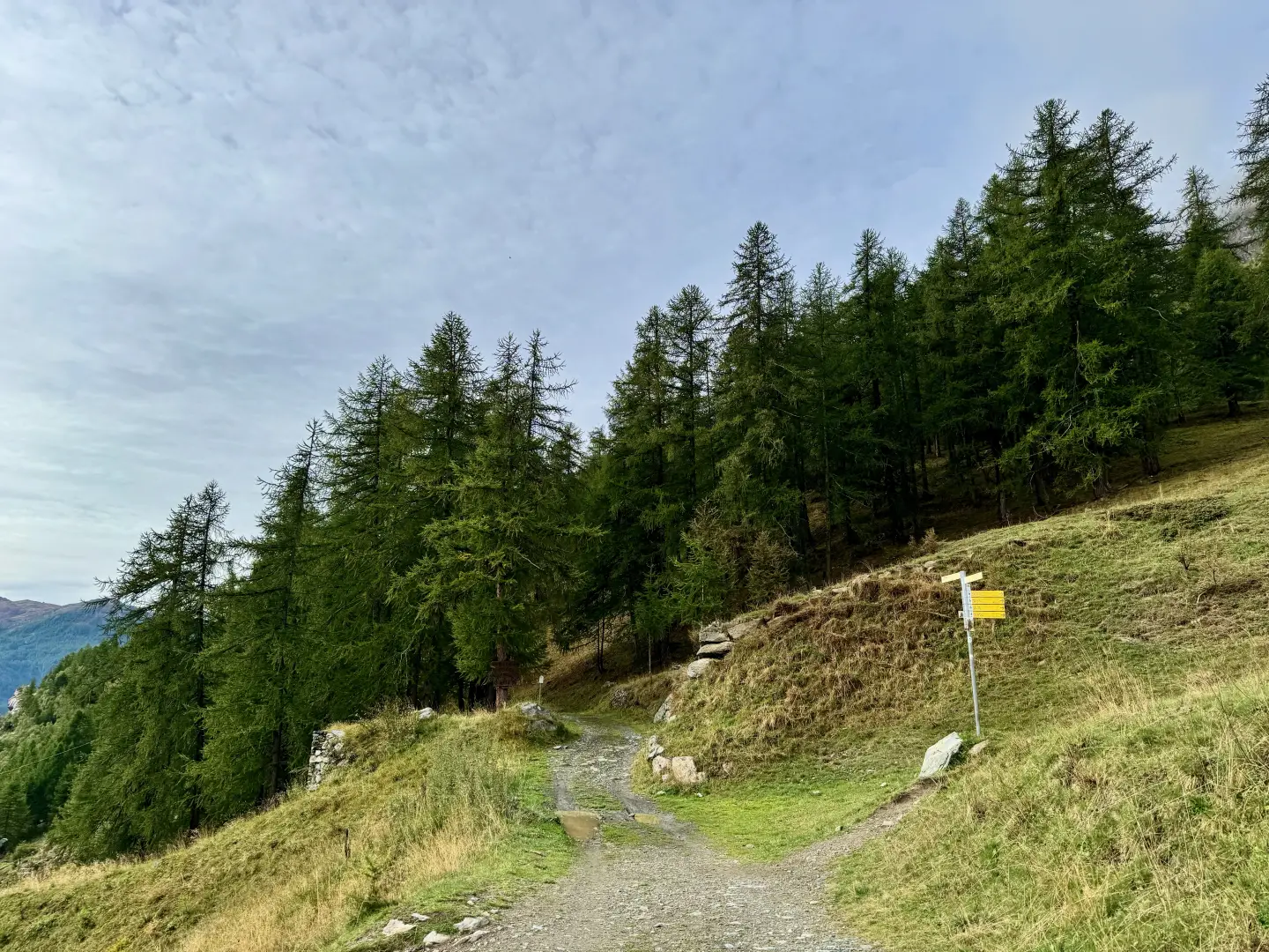
0h03' 0.17km Continue along the dirt road, ignoring the path that branches off to the right, and cross the bridge over the Marmore stream. After the bridge, turn left and follow the flat road until you reach a ford, which can be bypassed by means of a wooden footbridge. A little further on, you will come to a new fork with a marker post.
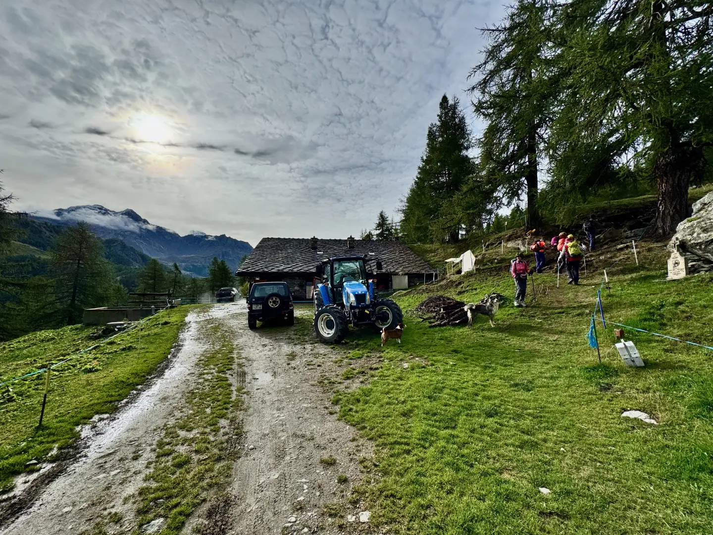
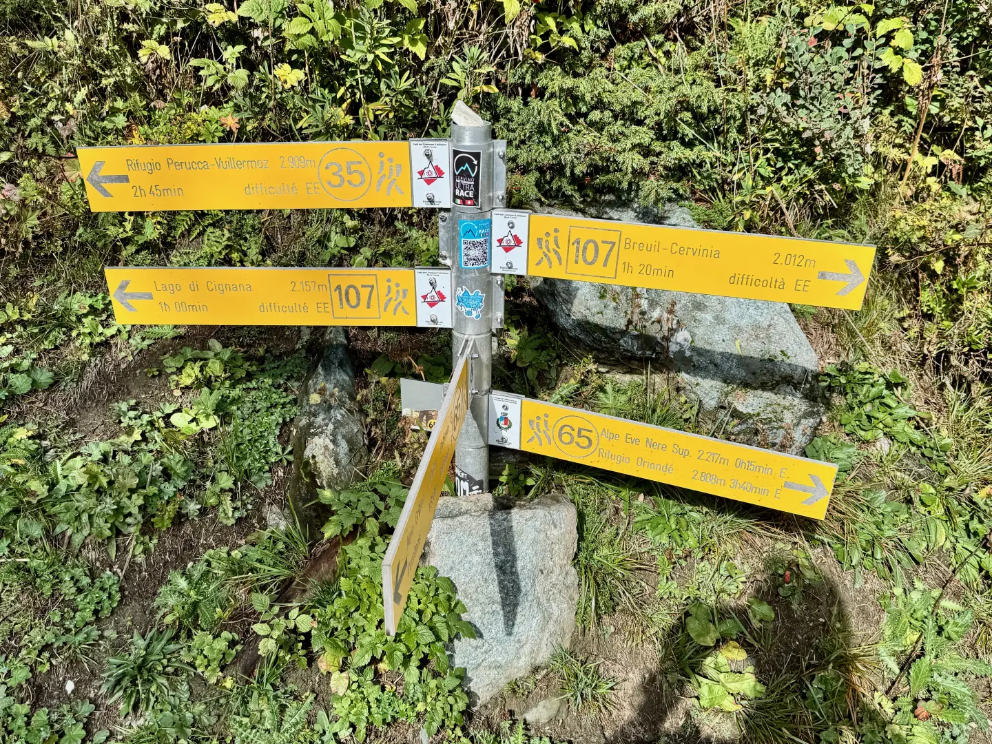
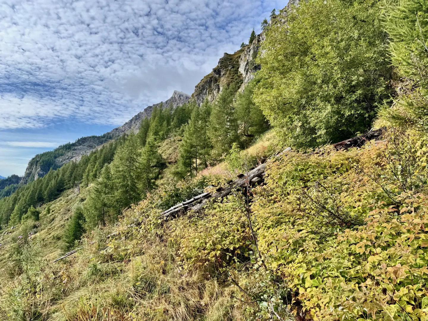
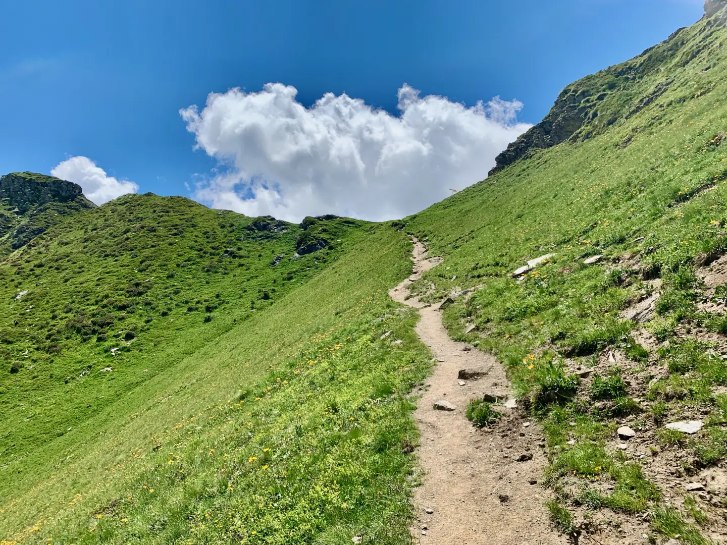
0h10' 0.56km Turn right and ascend the path, which is characterised by a rather steep climb. Cross a strip of larch woodland (Larix decidua) and take the farm track again, which must be followed until reaching the Grillon alpine pasture (1,945 m) 💧. In front of the alpine pasture is a signpost and the start of the path. Continue through the forest, crossing several clearings and skirting a waterhole. With a constant gradient, the trail climbs the slope, alternating between short turns and long, straight stretches, until it leaves the forest and crosses the sparse pastureland before the ruin of Tza Grillon (2,089m). Here the path turns right and, shortly afterwards, re-enters the wood at a gentler gradient, until it reaches a fork signposted.
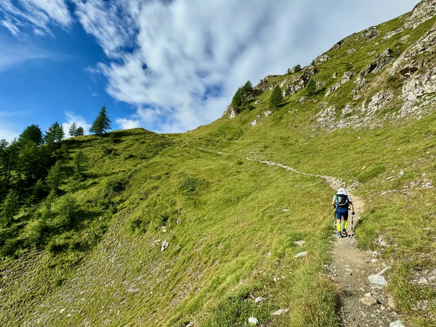
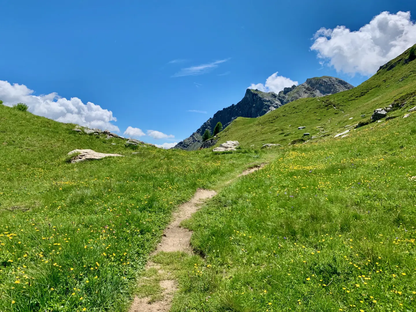
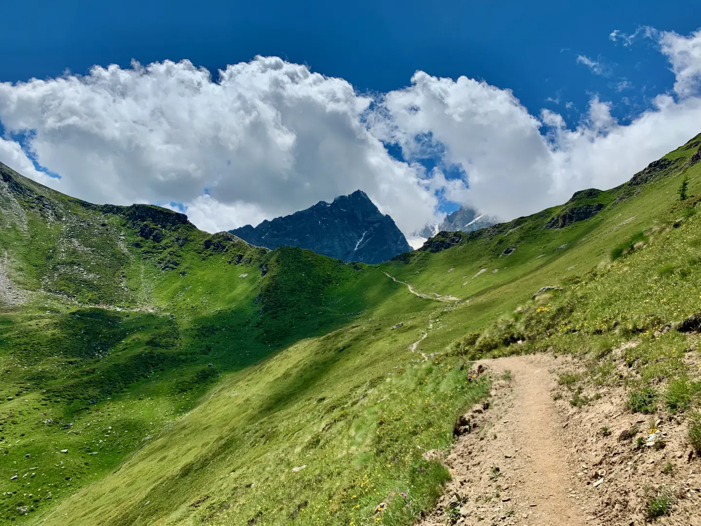
1h15' 2.62km Turn left and resume the diagonal ascent halfway up the hillside. The path comes out of the forest and increases in gradient until it reaches a panoramic knoll from which, if you turn around, you can admire an iconic view of the Matterhorn. From here, the trail continues at a gentler gradient until it comes into sight of the "window" and reaches the little-noticed junction of path coming from Crépin.
1h15' 4.02km Continue straight on in a south-westerly direction until reaching the wide cove of the Finestra di Cignana (2.445m) 2h15' 4.26km .
The return is along the same route as the outward journey: descend along the path to Tza Grillon and the Grillon alp, then to the dirt track that leads to the car park of Les Perrères (1,837m) 1h15' 4.26km .
Points of Interest
Collections
Photo gallery
Comments (0)
Sign in to leave a comment