Nearby
📍 Location Details
Latitude:
Longitude:
Accuracy:
Updated:
0 km
100 km
Path
km
-
km
m
m
Hike Type
Round trip
Circular
Crossing
Partially circular
Recommended Period
All
Hiking
Snowshoeing
Ski-mountaineering
Mountaineering
Via ferrata
Climbing
Mountain bike
Trekking
Active filters:
Tags: hiking,3000,summits,aosta-valley
Showing 53 results
with active filters
Loading...

Edited by:
Massimo Martini
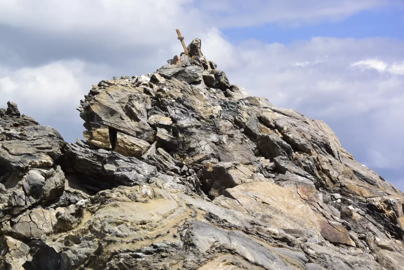
Aiguille d'Artanavaz via Ecoules, from Planaval – La Salle
T3
13.91 Km
1274 m

Edited by:
Benedetto Lorusso
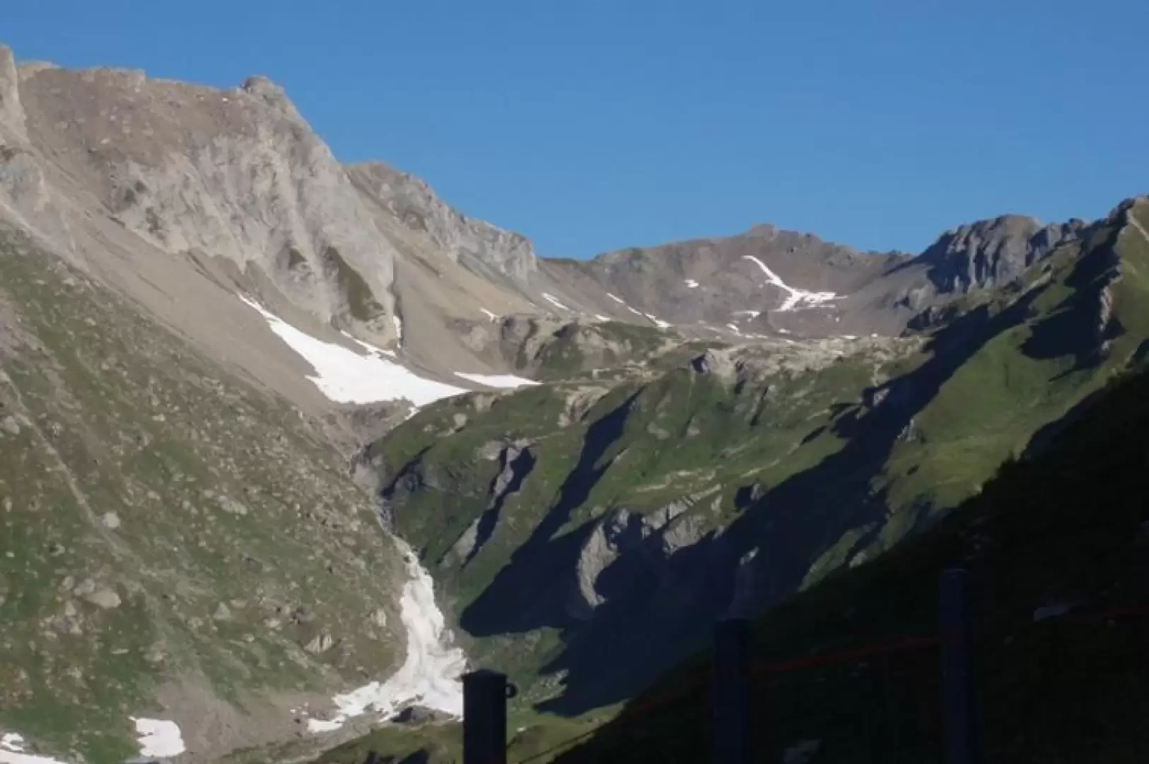
Aiguille d'Artanavaz via Rantin, from Planaval – La Salle
The final destination offers a breathtaking view: Mont Blanc and the Grandes Jorasses, whilst the horizon stretches from the Combin...
T3
17.60 Km
1346 m
Edited by:
Benedetto Lorusso
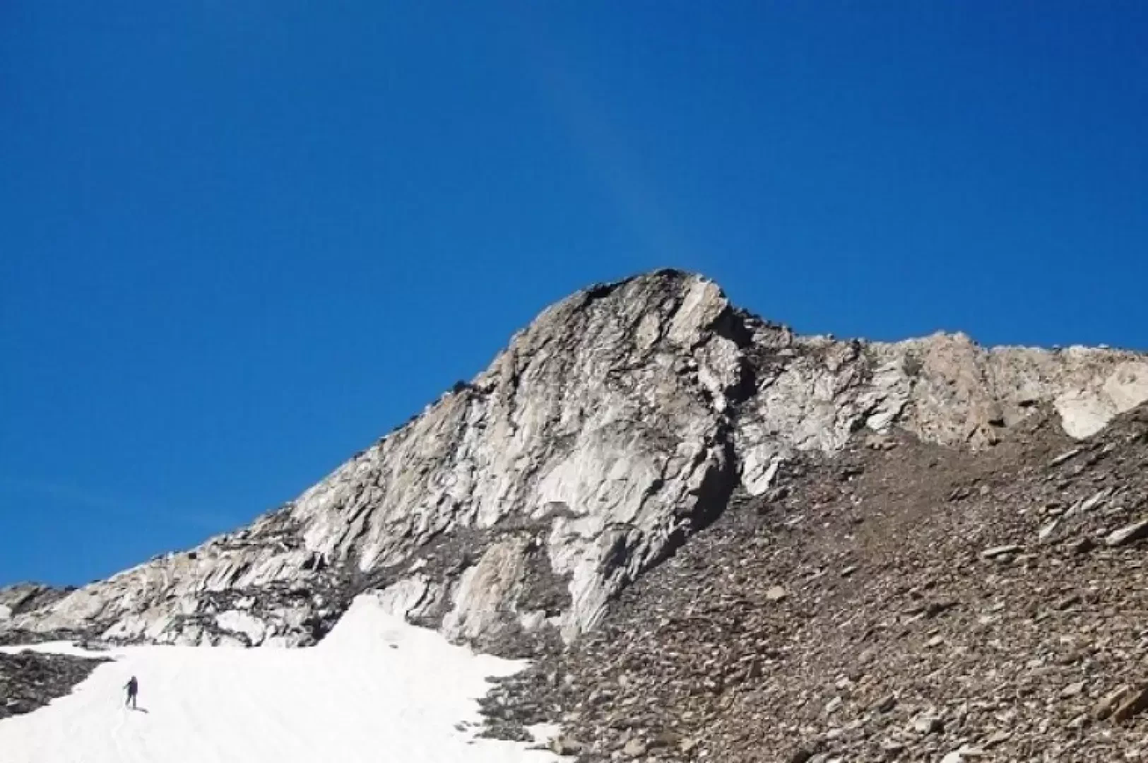
Aiguilles de Leisasse
Bella cima in ambiente selvaggio, nota anche come Aiguille de Lesache o des Sasses, frequentata anche d'inverno. A metà salita,...
T4
3.66 Km
914 m
Edited by:
Massimo Martini
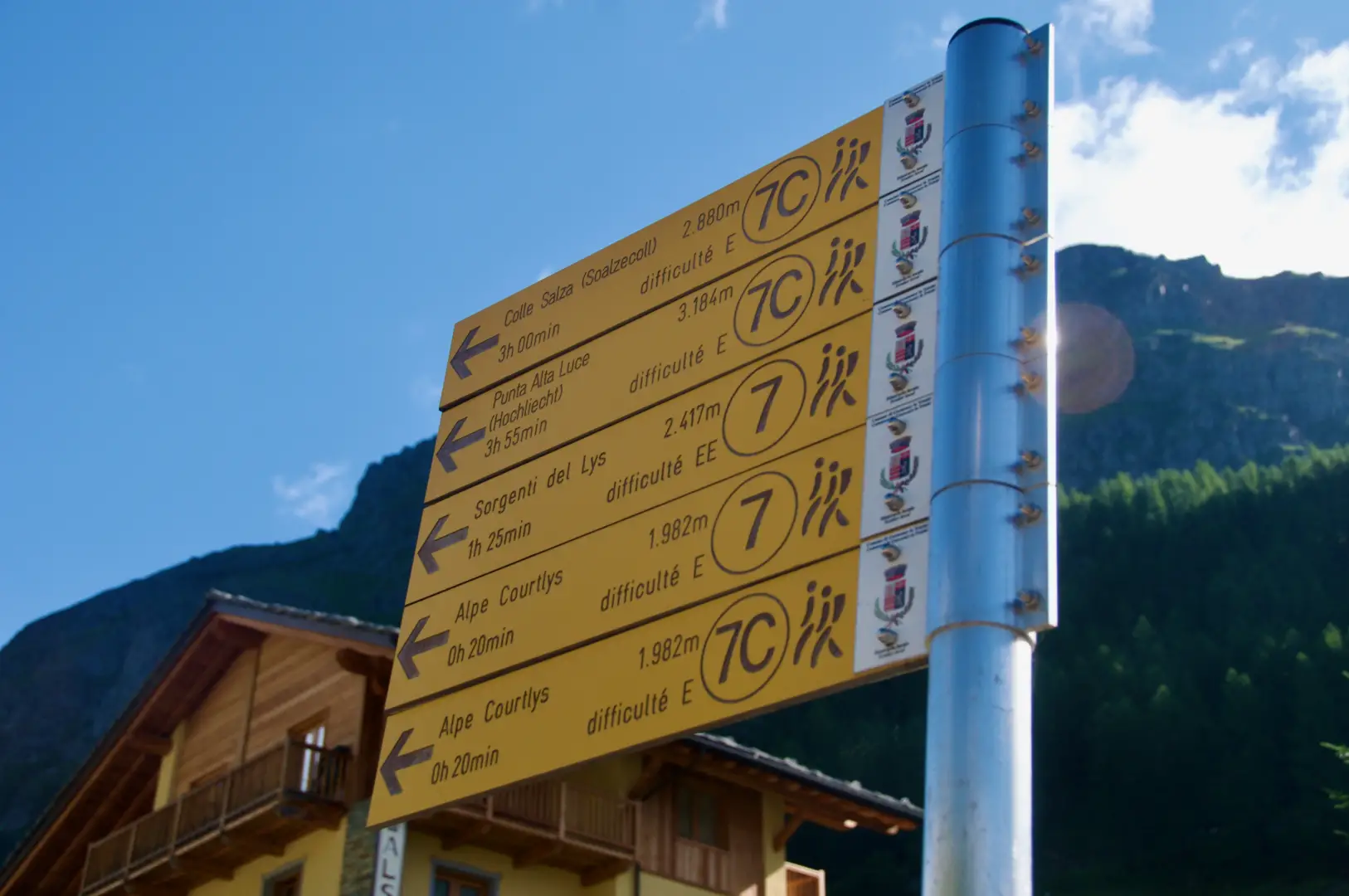
Alta Luce, from the Staffal car park
A round-trip route ascending to the summit of Alta Luce (Hochlicht, 3,184 m), situated on the ridge separating the Lys...
T3
12.92 Km
1409 m


Edited by:
Ivano Ruffoni
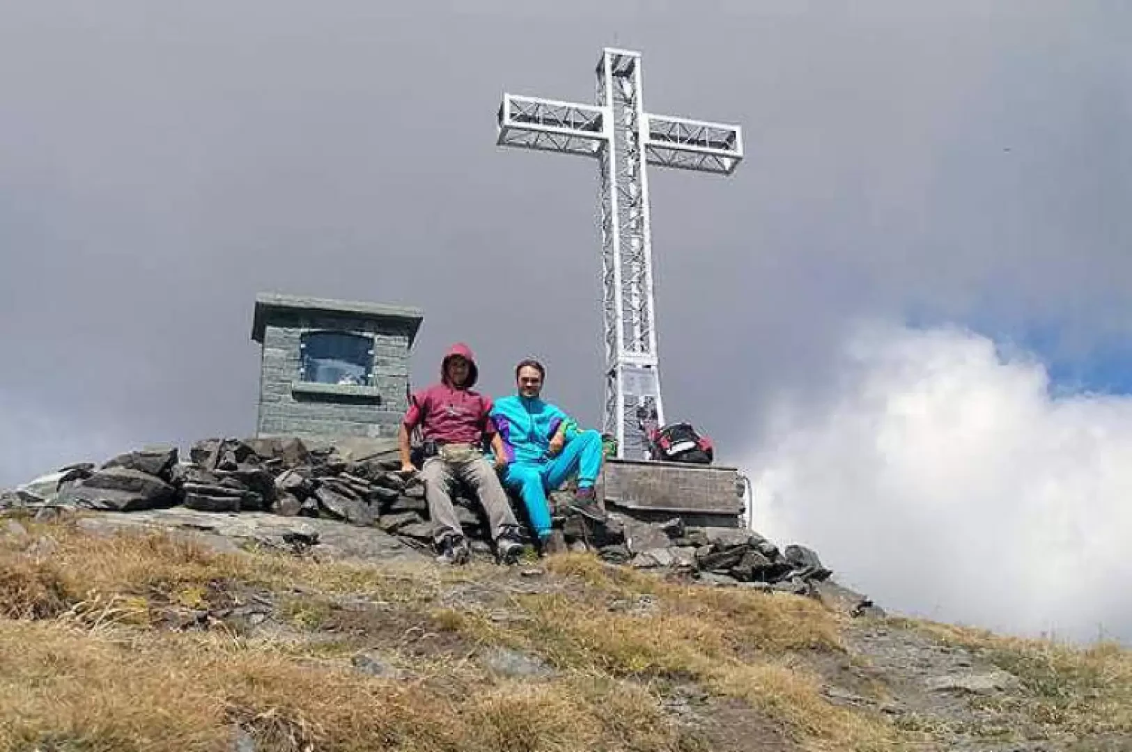
Alta Luce, dal Gabiet
Itinerario escursionistico che conduce ad ammirare il magnifico ghiacciaio del Lys (Lysgletscher) da un incredibile belvedere. Lo sguardo, dalla vetta,...
T2
10.60 Km
881 m

Edited by:
fabio_olmo
Bec de Nannaz, from Mandriou
The Bec de Nannaz or Falconetta (so called because of the numerous falcons on its summit) is one of the...
T2
9.67 Km
1161 m


Edited by:
Maurizio Bergamini
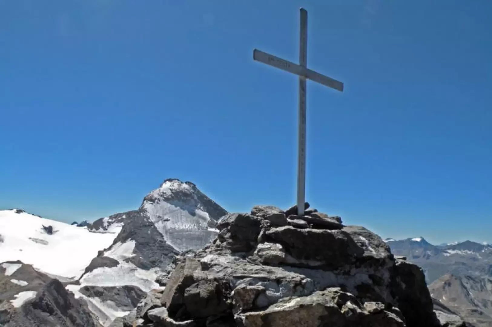
Becca di Nona
Si raggiunge una vetta dalla collocazione strategica per godere del panorama su tutte le principali vette della Valle d'Aosta, con...
T2
17.70 Km
1653 m

Edited by:
Giancarlo Beretta
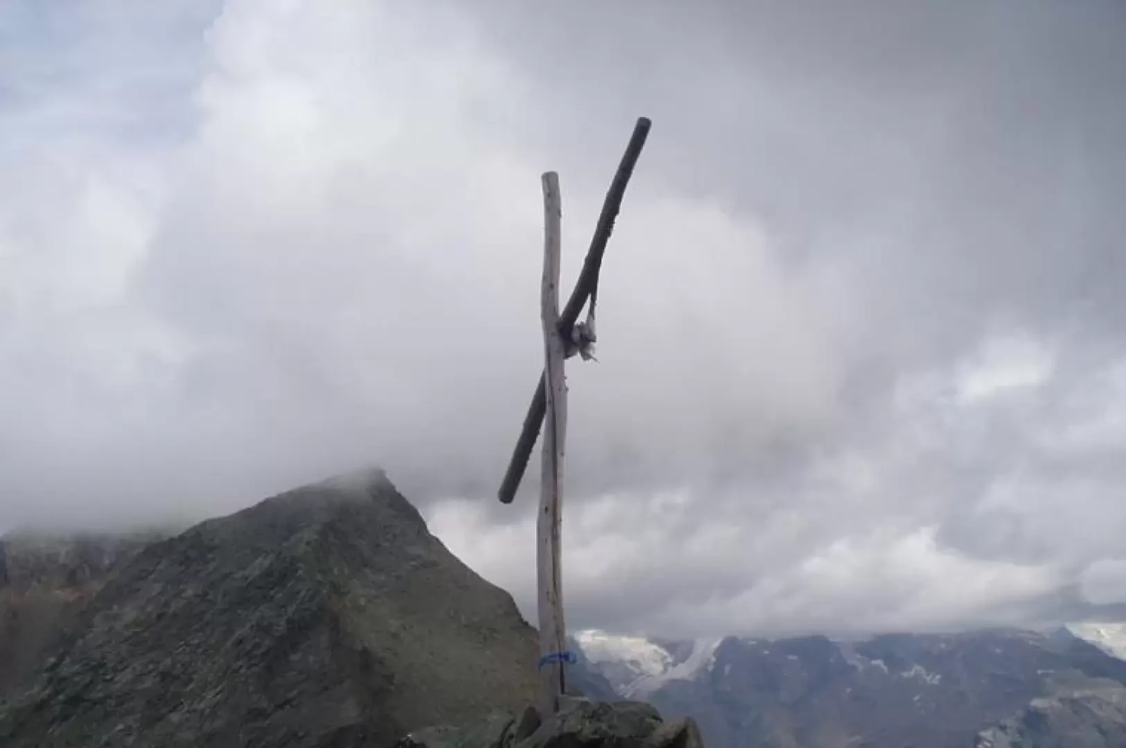
Becca Traversière, from Thumel
A long but highly satisfying hike with a changing environment: from the pastures of the lower valley to the characteristic...
T3
19.94 Km
1483 m
Edited by:
Ivano Ruffoni
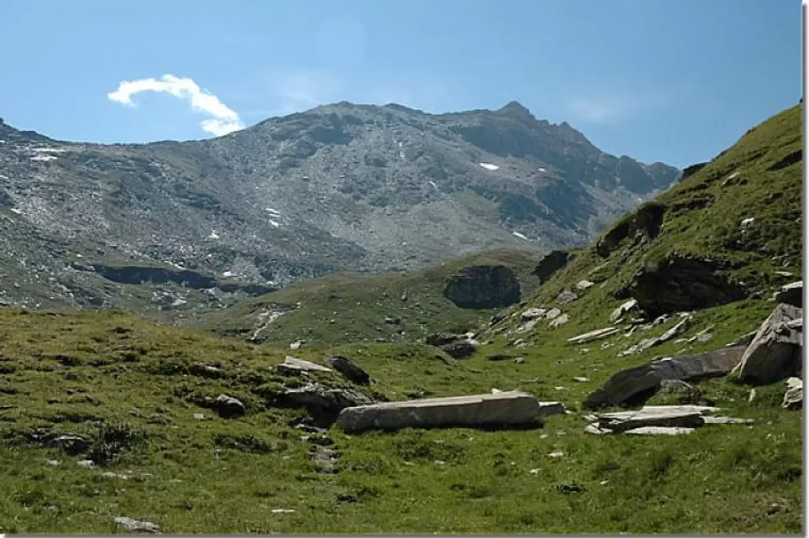
Becca Trécare, from the car park at La Barma
La Becca Trecaré separates the Petit Tournalin from the Bec de Nannaz. It is an excellent vantage point over the...
T3
11.33 Km
1008 m


Edited by:
Massimo Martini
Cima Bianca, from Grand Moulin
Itinerario ad andata e ritorno che sale dal fondovalle di Antey-Saint-Andre' (1.079m) alla Cima Bianca (2.960m), vetta piu' elevata della...
T2
24.56 Km
0 m

Edited by:
Giancarlo Beretta
Cima di Entrelor
La Cima di Entrelor, frequentatissima nella stagione invernale anche se solo fino all’anticima, è un possente massiccio roccioso che si...
T4
14.00 Km
1411 m