Nearby
📍 Location Details
Latitude:
Longitude:
Accuracy:
Updated:
0 km
100 km
Path
km
-
km
m
m
Hike Type
Round trip
Circular
Crossing
Partially circular
Recommended Period
All
Hiking
Snowshoeing
Ski-mountaineering
Mountaineering
Via ferrata
Climbing
Mountain bike
Trekking
Active filters:
Tags: hiking,aosta-valley
Showing 660 results
with active filters
Loading...

Edited by:
Massimo Martini
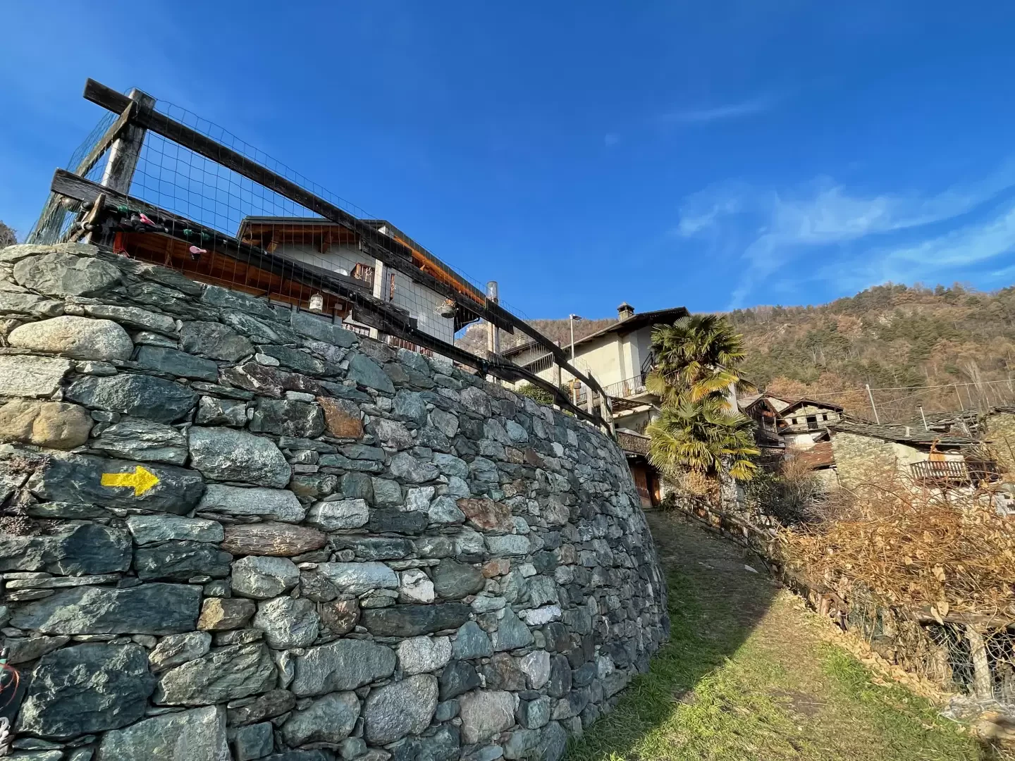
Abaz, from Sizan
The itinerary from Sizan to the village of Abaz is a fascinating and accessible hiking route for everyone, ideal to...
T2
2.76 Km
222 m
Edited by:
Massimo Martini
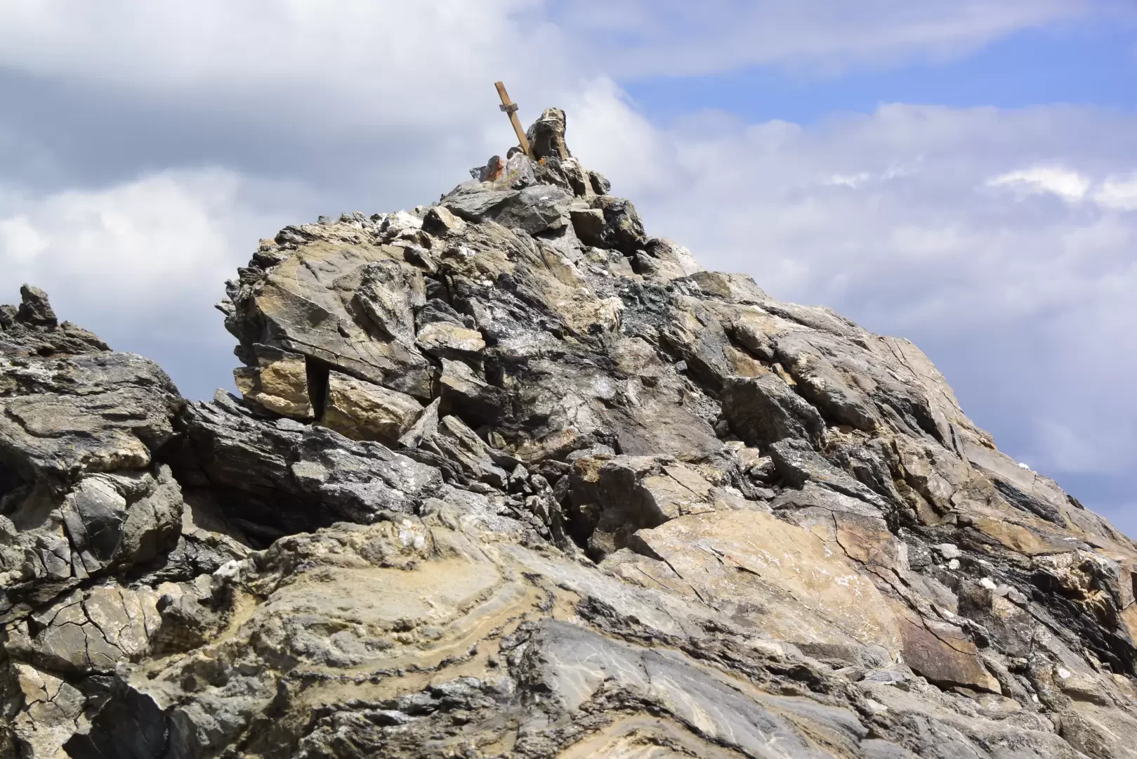
Aiguille d'Artanavaz via Ecoules, from Planaval – La Salle
T3
13.91 Km
1274 m

Edited by:
Benedetto Lorusso
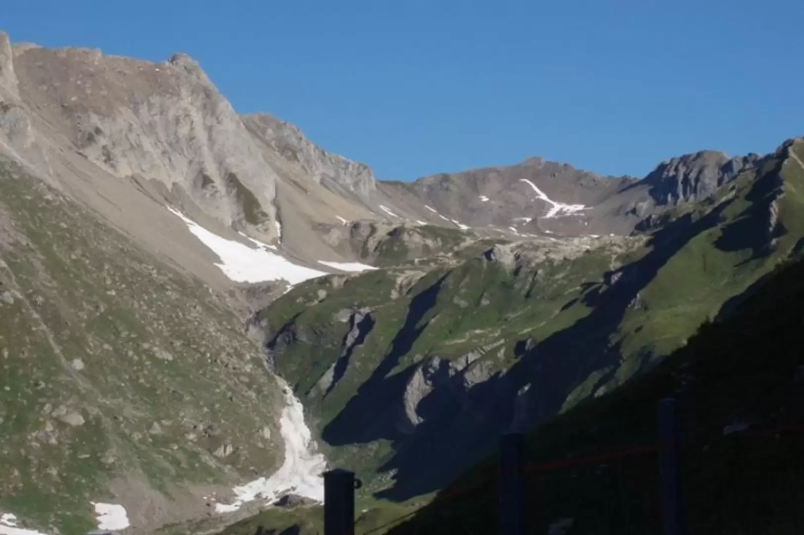
Aiguille d'Artanavaz via Rantin, from Planaval – La Salle
The final destination offers a breathtaking view: Mont Blanc and the Grandes Jorasses, whilst the horizon stretches from the Combin...
T3
17.60 Km
1346 m

Edited by:
Giancarlo Beretta
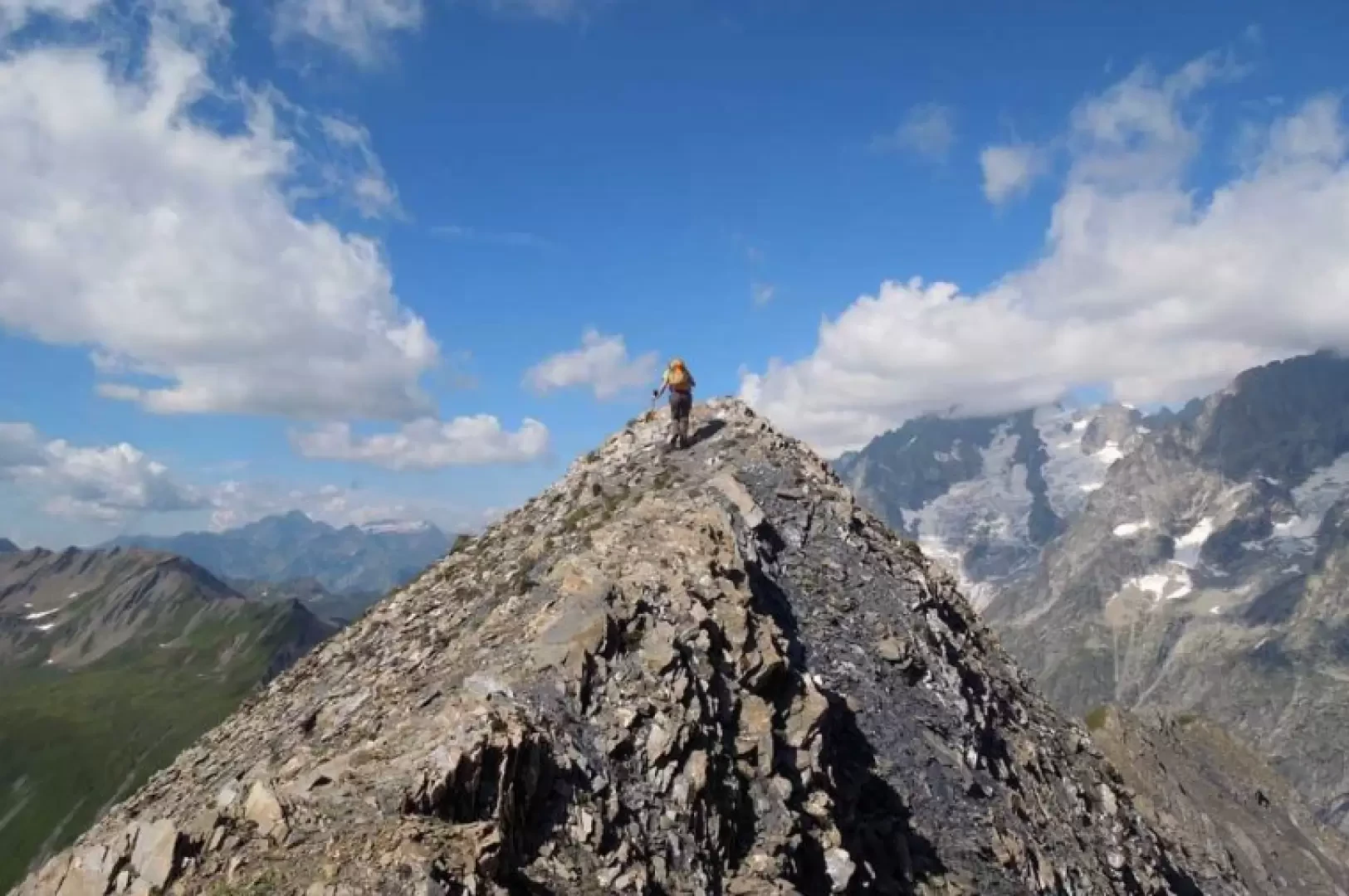
Aiguille des Angroniettes to Col Ban Darrey, a circular walk from Arp Nouvaz
This beautiful and challenging circular walk takes you away from the crowds on the classic trails, through the upper Val...
T3
12.03 Km
1155 m
Edited by:
Benedetto Lorusso
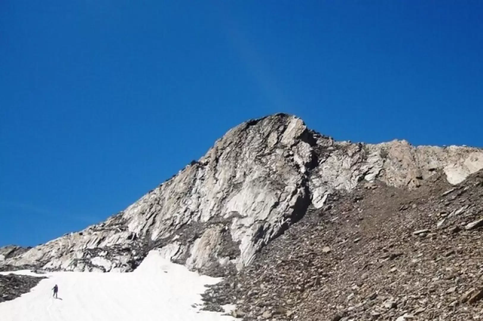
Aiguilles de Leisasse
Bella cima in ambiente selvaggio, nota anche come Aiguille de Lesache o des Sasses, frequentata anche d'inverno. A metà salita,...
T4
3.66 Km
914 m

Edited by:
Maria Grazia Schiapparelli
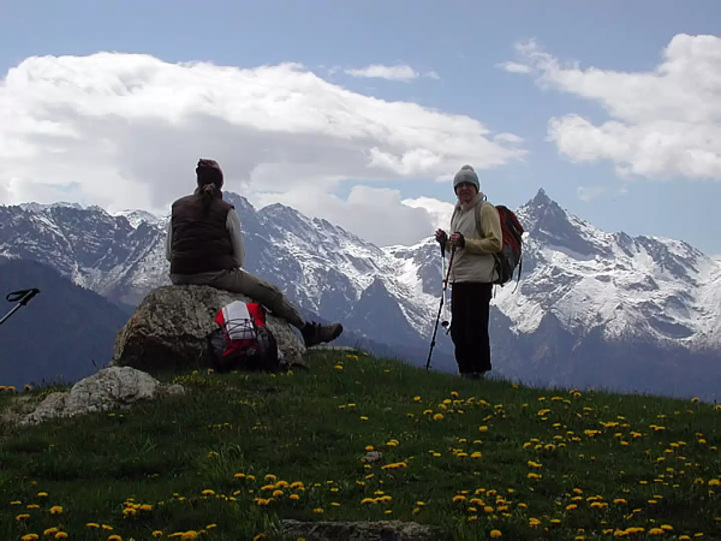
Alpe Seura, from Pré
The itinerary takes place in an area that was inhabited up to 50 years ago. The whole area was furrowed...
T2
10.29 Km
730 m

Edited by:
Marcello Rossi
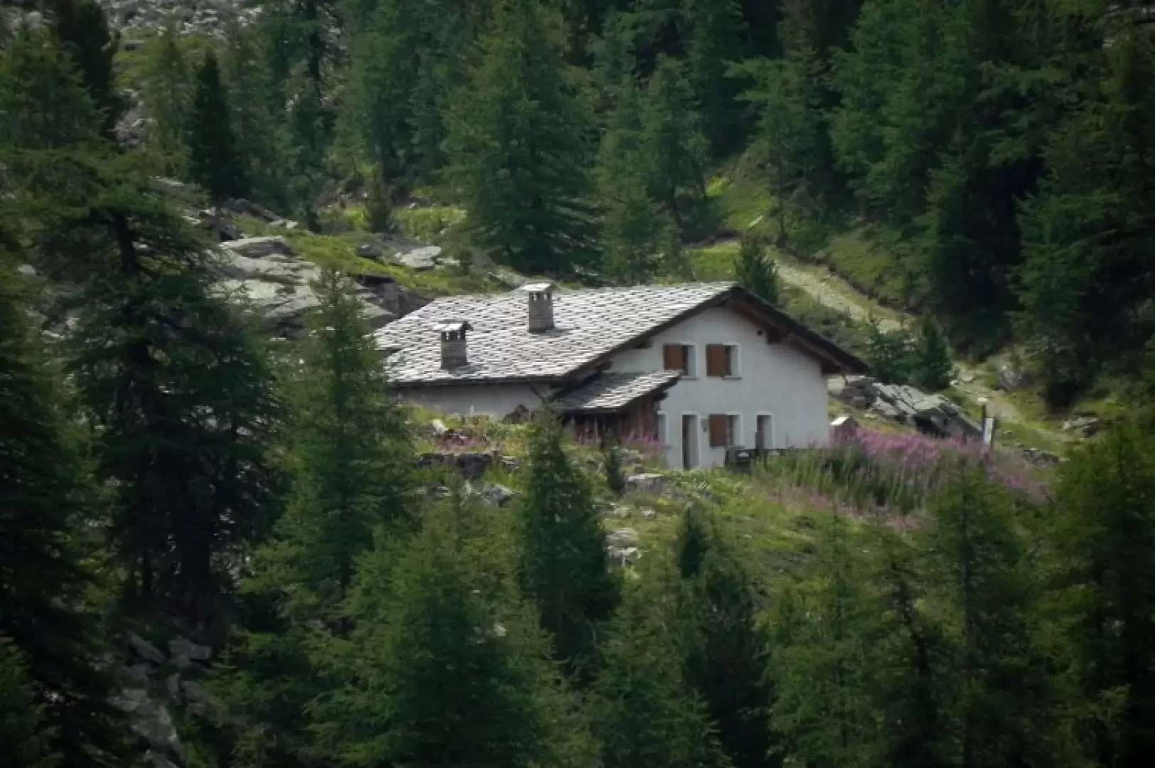
The Chausettaz and Sort mountain pastures: a circular walk from Chanavey
T2
9.42 Km
631 m
Edited by:
Massimo Martini
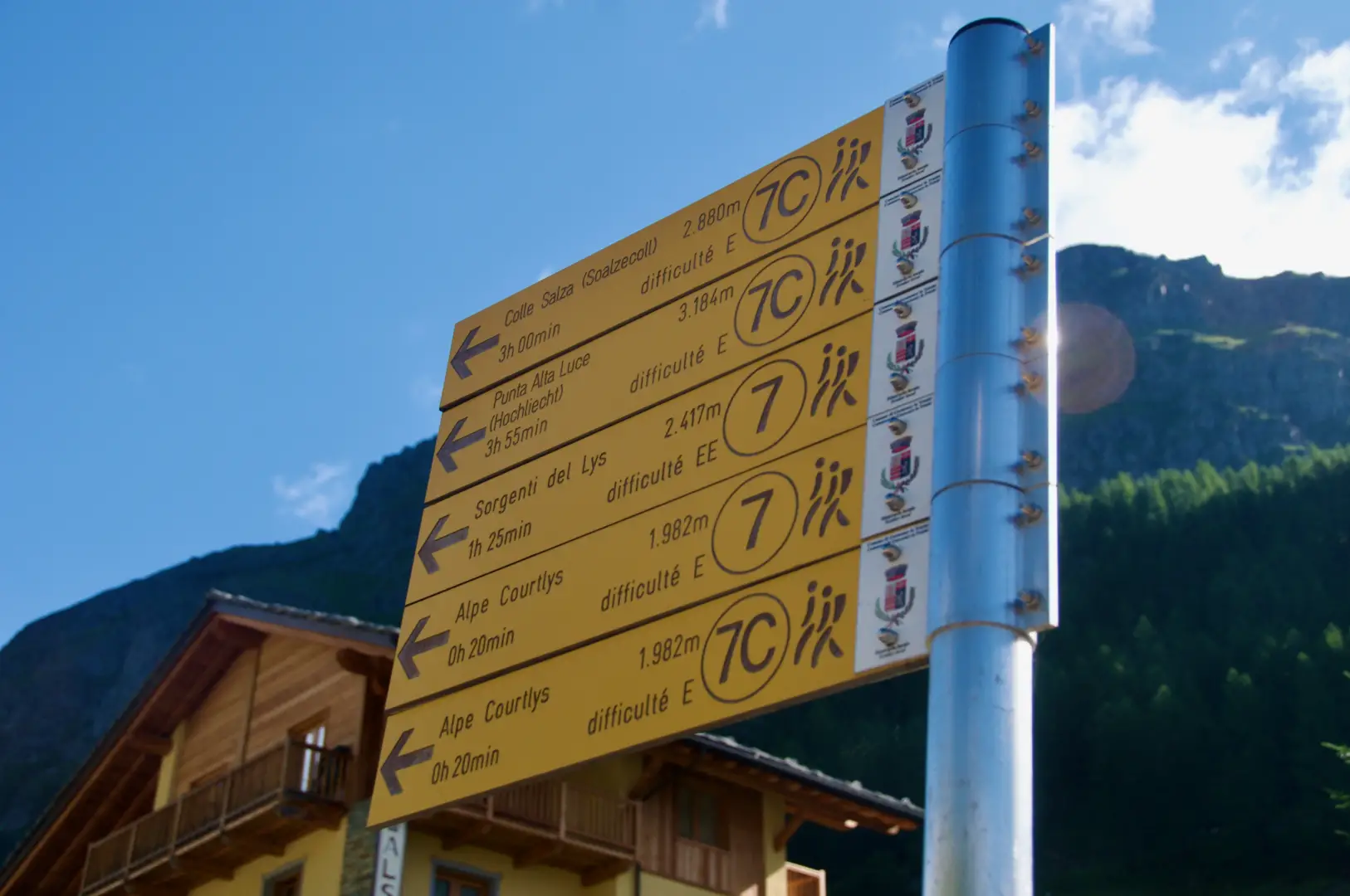
Alta Luce, from the Staffal car park
A round-trip route ascending to the summit of Alta Luce (Hochlicht, 3,184 m), situated on the ridge separating the Lys...
T3
12.92 Km
1409 m


Edited by:
Ivano Ruffoni
Alta Luce, dal Gabiet
Itinerario escursionistico che conduce ad ammirare il magnifico ghiacciaio del Lys (Lysgletscher) da un incredibile belvedere. Lo sguardo, dalla vetta,...
T2
10.60 Km
881 m

Edited by:
Massimo Martini
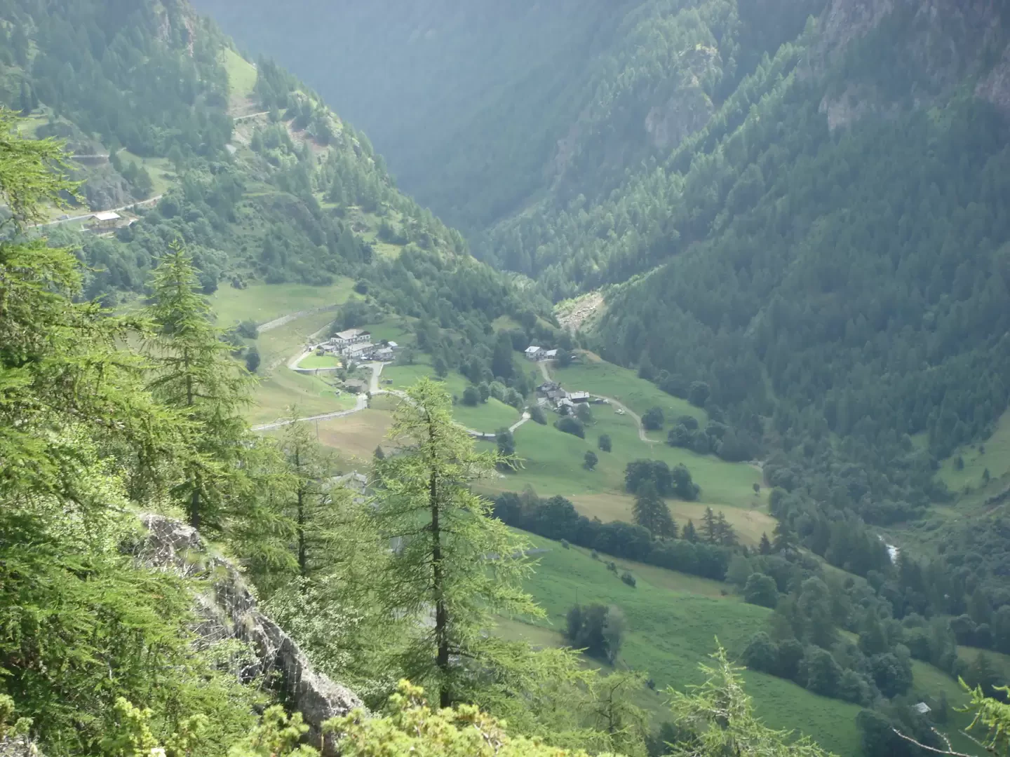
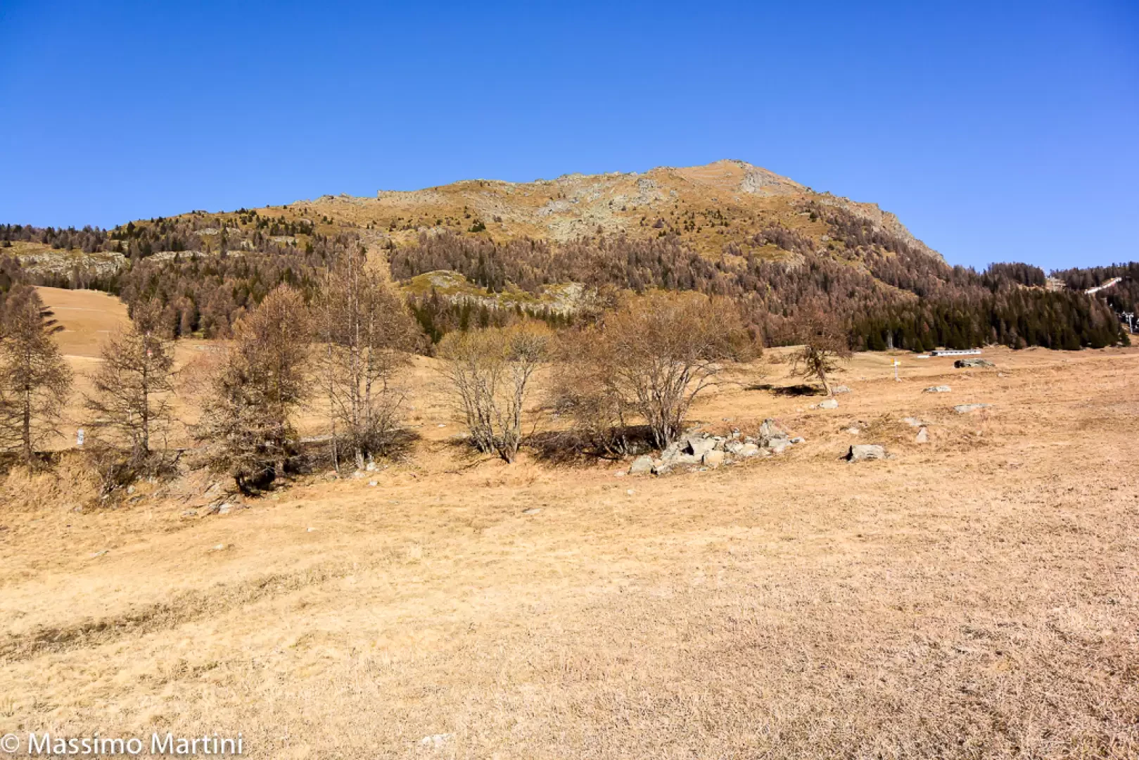
Mont Méabé secondary summit, from the Golette car park
The secondary summit of Mont Méabé offers a superb panoramic view over the central Valtournenche valley. The route is relatively...
T2
6.40 Km
742 m
Edited by:
Massimo Martini
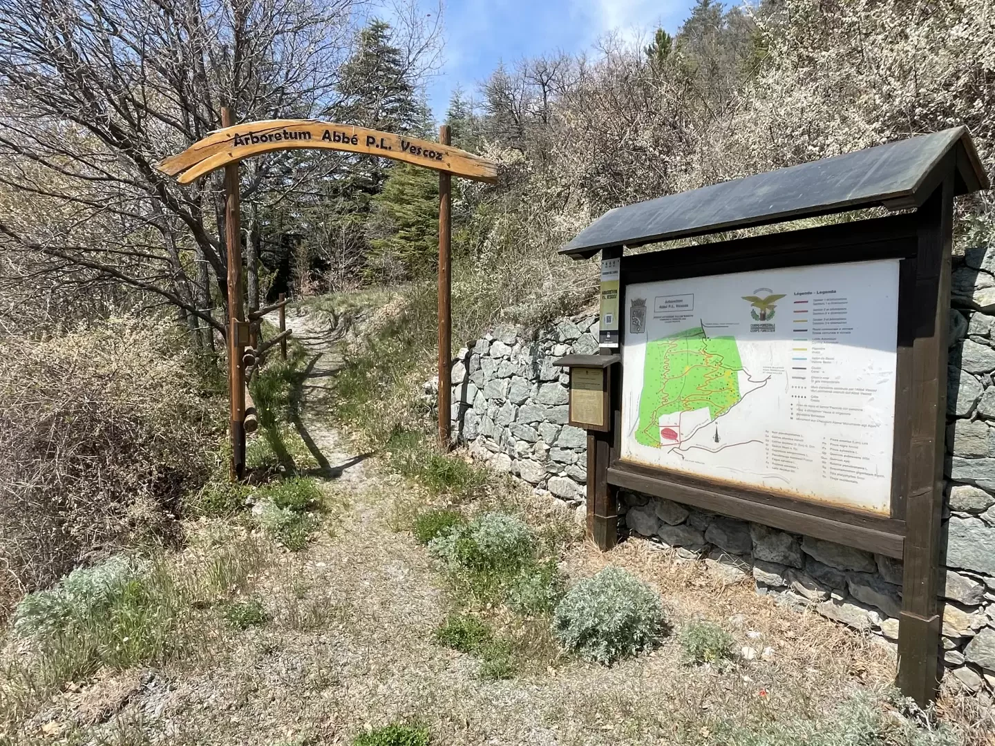
Vescoz Arboretum, circular walk from Plan d'Arey
A circular route that follows the paths within the “Abbé P. L. Vescoz” Arboretum, a woodland area created between 1905...
T2
1.30 Km
170 m