Nearby
📍 Location Details
Latitude:
Longitude:
Accuracy:
Updated:
0 km
100 km
Path
km
-
km
m
m
Hike Type
Round trip
Circular
Crossing
Partially circular
Recommended Period
All
Hiking
Snowshoeing
Ski-mountaineering
Mountaineering
Via ferrata
Climbing
Mountain bike
Trekking
Active filters:
Tags: hiking,chatillon
Showing 30 results
with active filters
Loading...


Edited by:
Massimo Martini
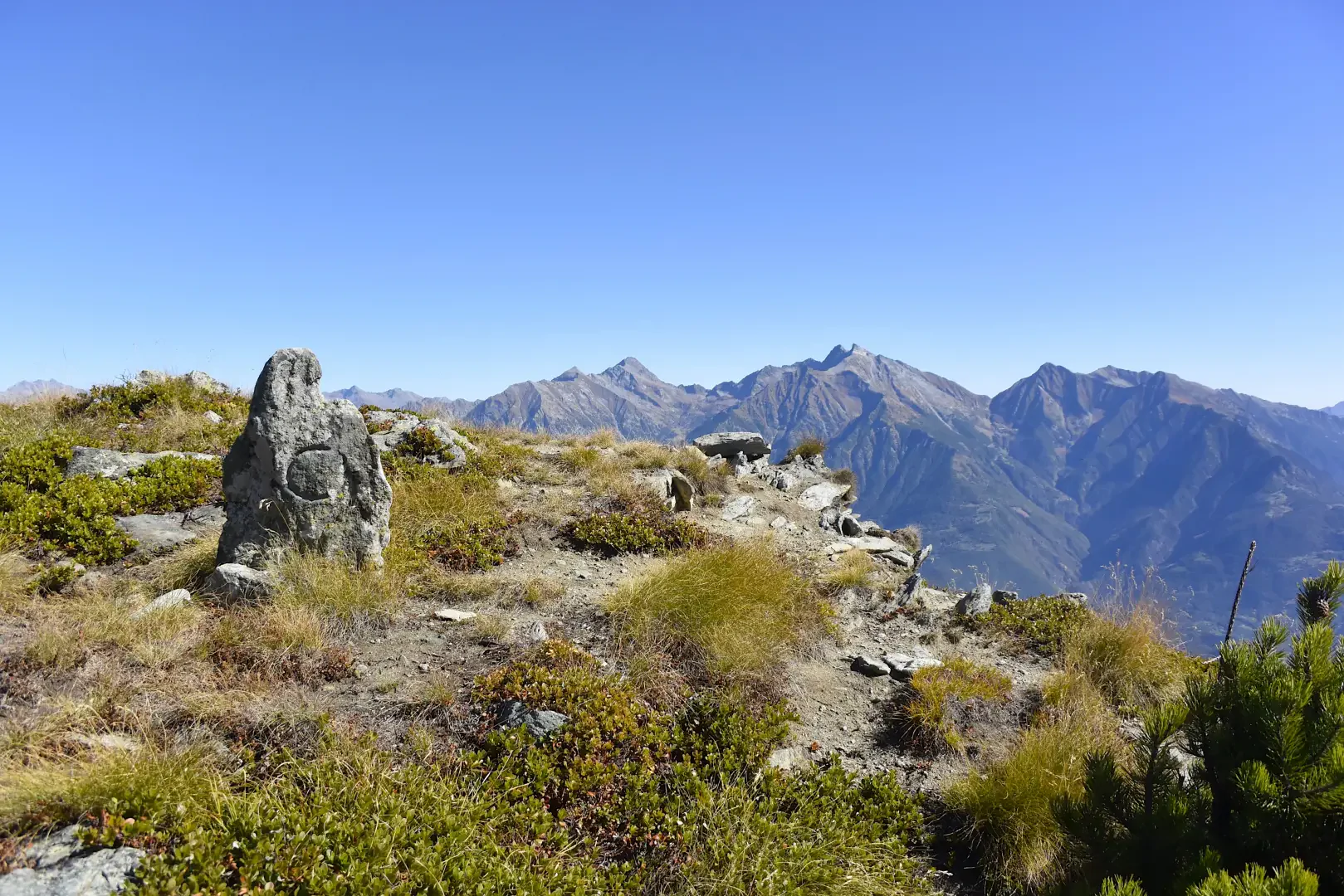
The abandoned village of Barmaz
Itinerario ad andata e ritorno nel comune di Châtillon, in bassa-media Valle d'Aosta, che percorre un tratto della Via Francigena...
T2
3.56 Km
133 m
Edited by:
Massimo Martini
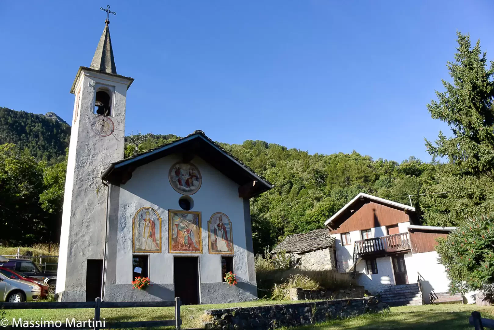
Bellecombe, from the car park on the SR10
Bellecombe is a charming village situated on the wooded northern slope of Mont Barbeston. The walk described here follows the...
T2
5.62 Km
556 m
Edited by:
Massimo Martini
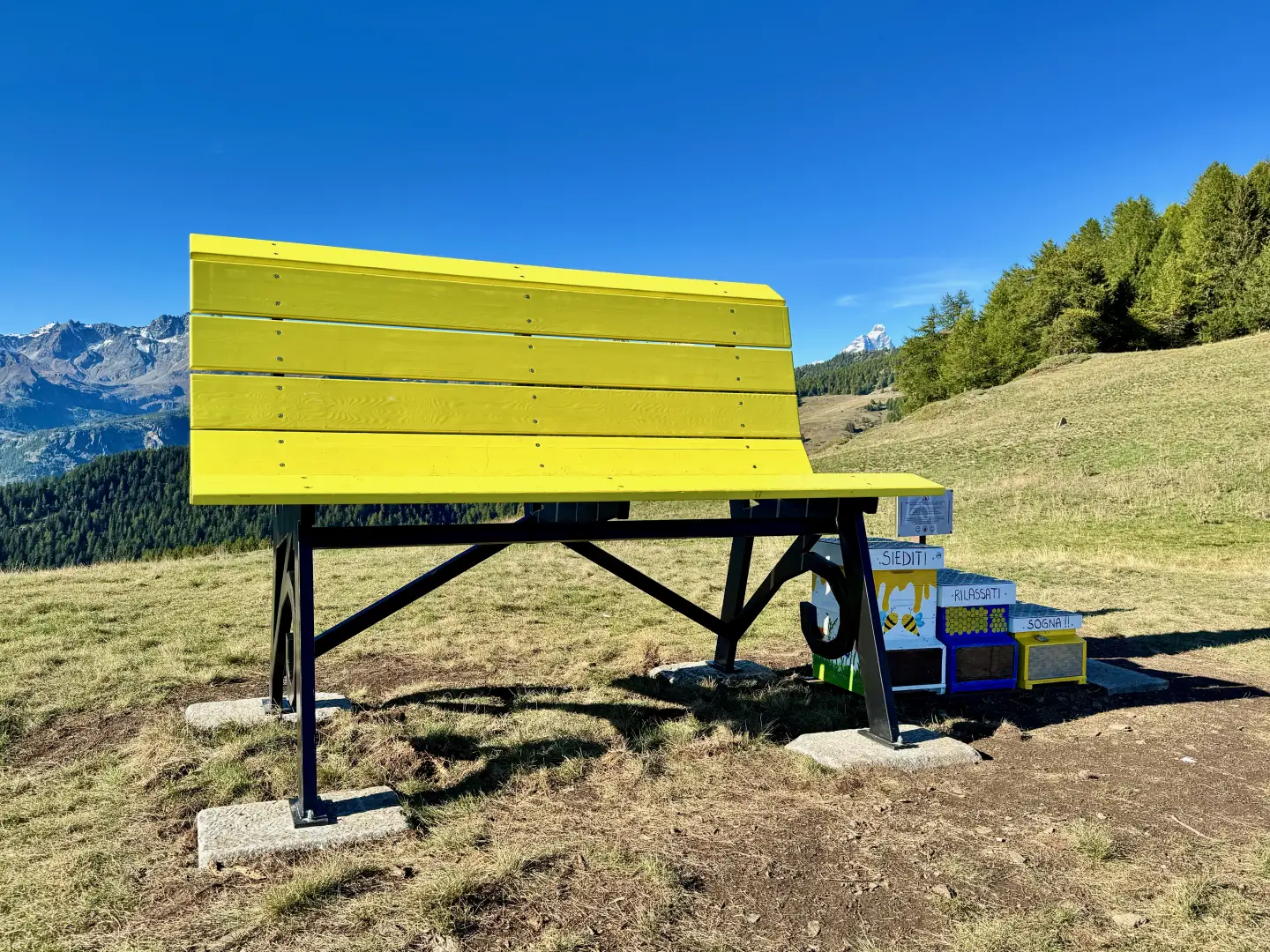
Big Bench #440, ring from Promiod
The Big Benches, the large, colourful benches of the Big Bench Community Project, have become a popular attraction in many...
T2
9.02 Km
544 m
Edited by:
Massimo Martini
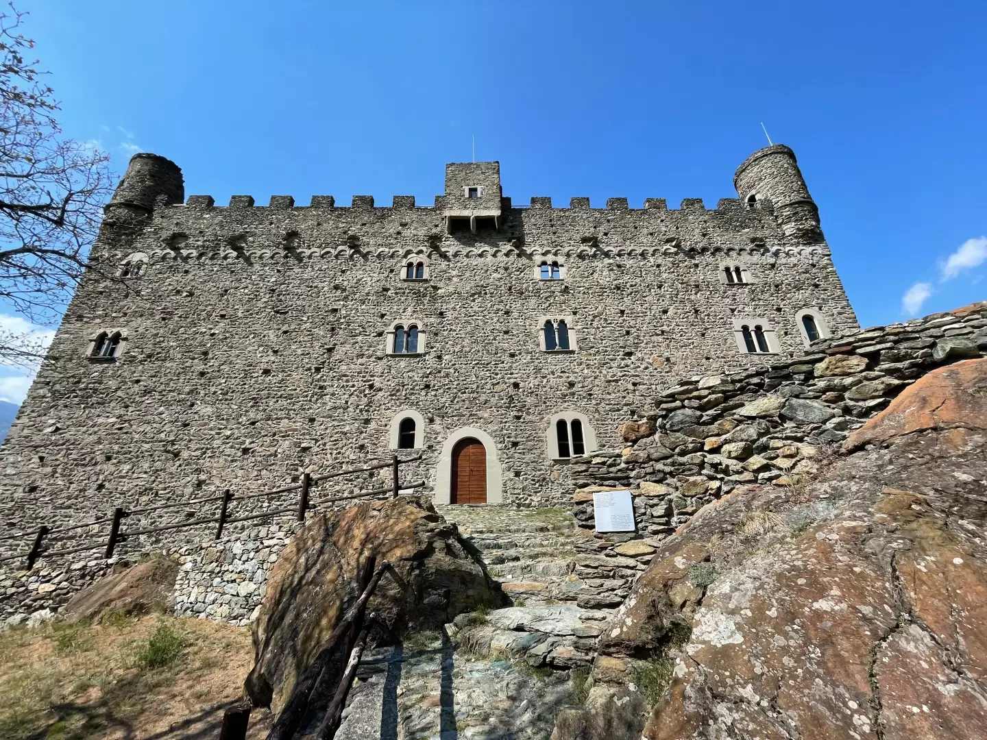
Ussel Castle, from Tenso
Short route along the course of the Dora Baltea river. The river is crossed on the characteristic Ponte delle Capre...
T2
7.00 Km
180 m
Edited by:
Massimo Martini
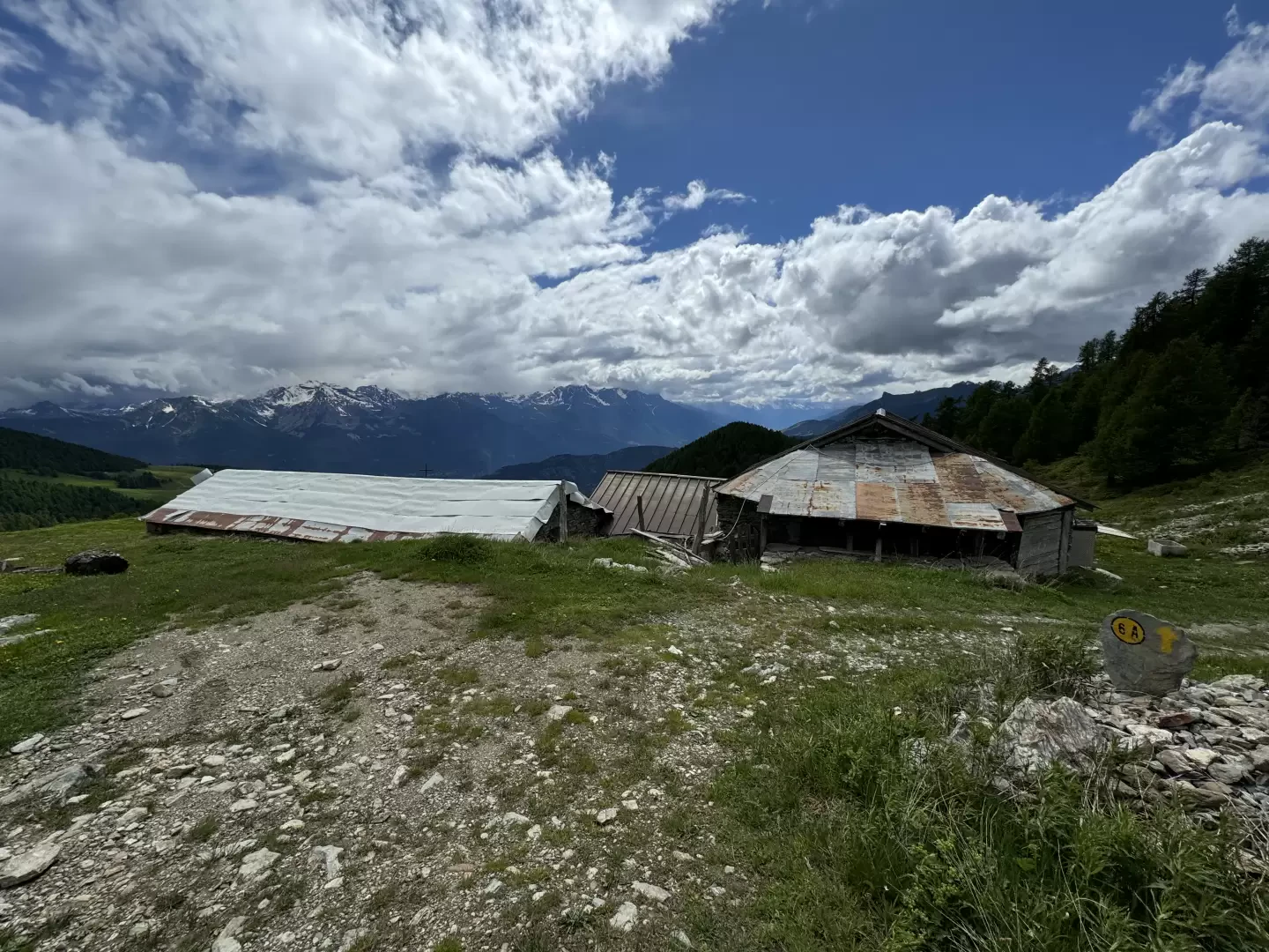
Champ Cellier dessus, from Promiod
The Champ Cellier Dessus alpine pasture, located in the picturesque Promiod valley, is a fascinating destination for mountain hikers. Nestled...
T2
9.91 Km
700 m

Edited by:
Massimo Martini
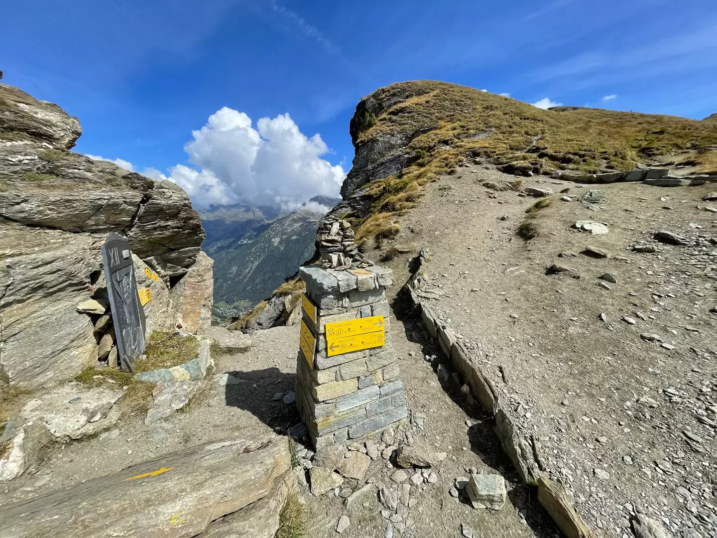
Col Marcage, from Bellecombe
A pleasant mid-altitude hike on the heights above Chatillon, Saint-Vincent and Montjovet. The destination of the hike is the Col...
T2
7.10 Km
349 m
Edited by:
Massimo Martini
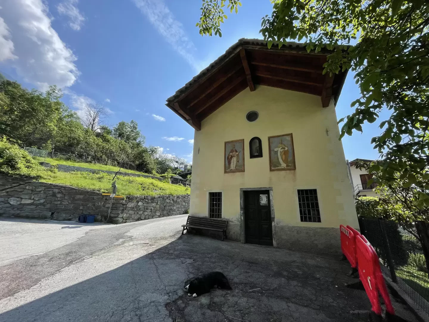
Col Portola, from Promiod
The Col Portola is a pass in the Pennine Alps located in Valle d'Aosta, between the municipalities of Châtillon and...
T2
12.50 Km
930 m
Edited by:
Massimo Martini
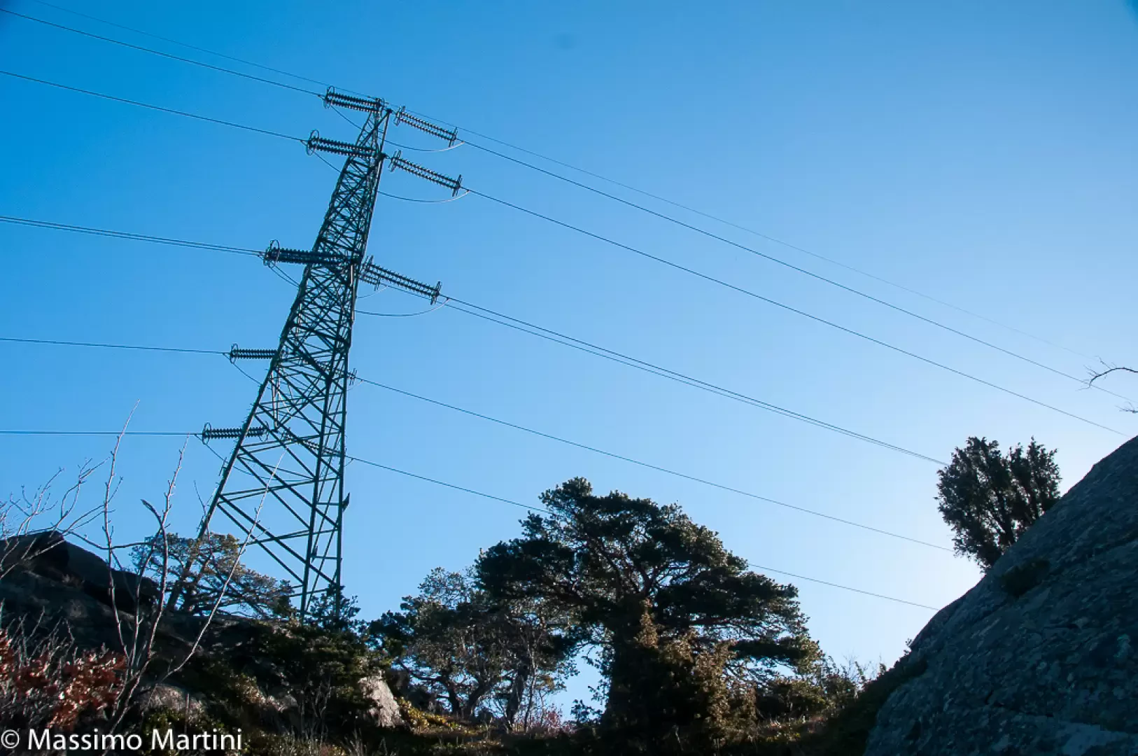
Domianaz, from Panorama
Short hike through the villages of the so-called 'hill' of Châtillon. The route leads to the pretty village of Domianaz...
T2
2.92 Km
192 m
Edited by:
Massimo Martini
Mont Avi, from Bellecombe
Finding thousand-metre peaks in the Valle d'Aosta is a difficult task. Mont Avi is one of these, a little-known peak...
T3
2.00 Km
100 m
Edited by:
Massimo Martini
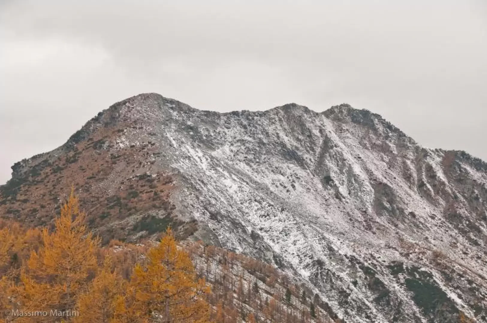
Mont Barbeston, from Bellecombe
The route described here represents access to Mont Barbeston from the commune of Châtillon. A route with a moderate difference...
T2
15.21 Km
1467 m