Nearby
📍 Location Details
Latitude:
Longitude:
Accuracy:
Updated:
0 km
100 km
Path
km
-
km
m
m
Hike Type
Round trip
Circular
Crossing
Partially circular
Recommended Period
All
Hiking
Snowshoeing
Ski-mountaineering
Mountaineering
Via ferrata
Climbing
Mountain bike
Trekking
Active filters:
Tags: hiking,coumba-freida
Showing 37 results
with active filters
Loading...
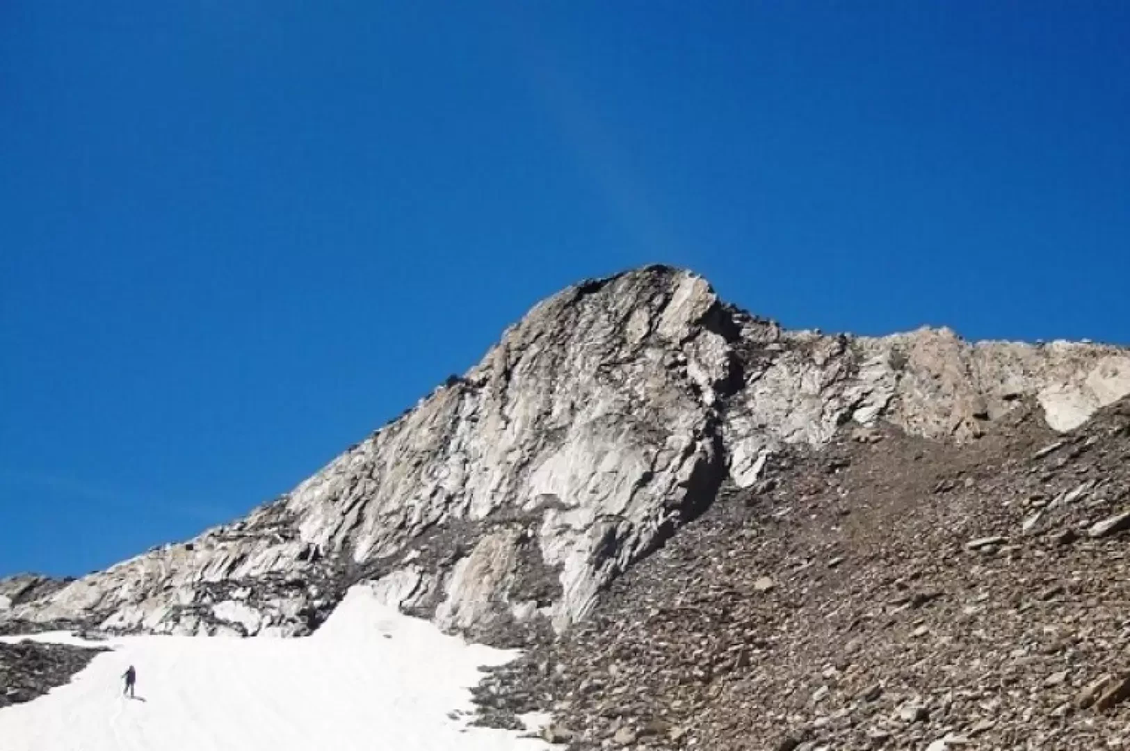

Edited by:
Benedetto Lorusso
Aiguilles de Leisasse
Bella cima in ambiente selvaggio, nota anche come Aiguille de Lesache o des Sasses, frequentata anche d'inverno. A metà salita,...
T4
3.66 Km
914 m
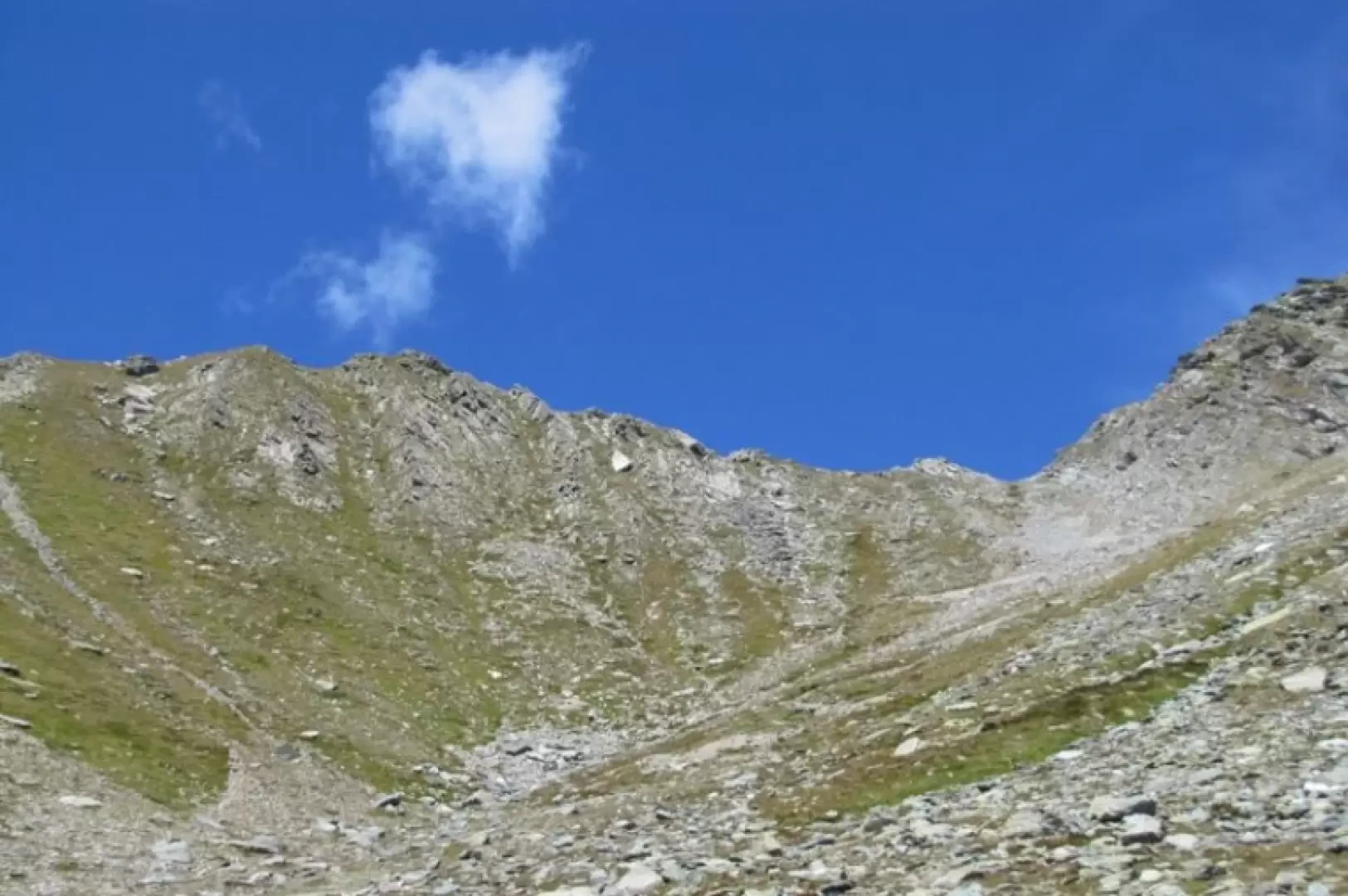
Edited by:
Benedetto Lorusso
Bec Noir de Menouve, from Prailles dessous
A small knoll on the border between Val d'Aosta and Valais, an excellent viewpoint above the col Nord de Menouve,...
T3
0.00 Km
1200 m
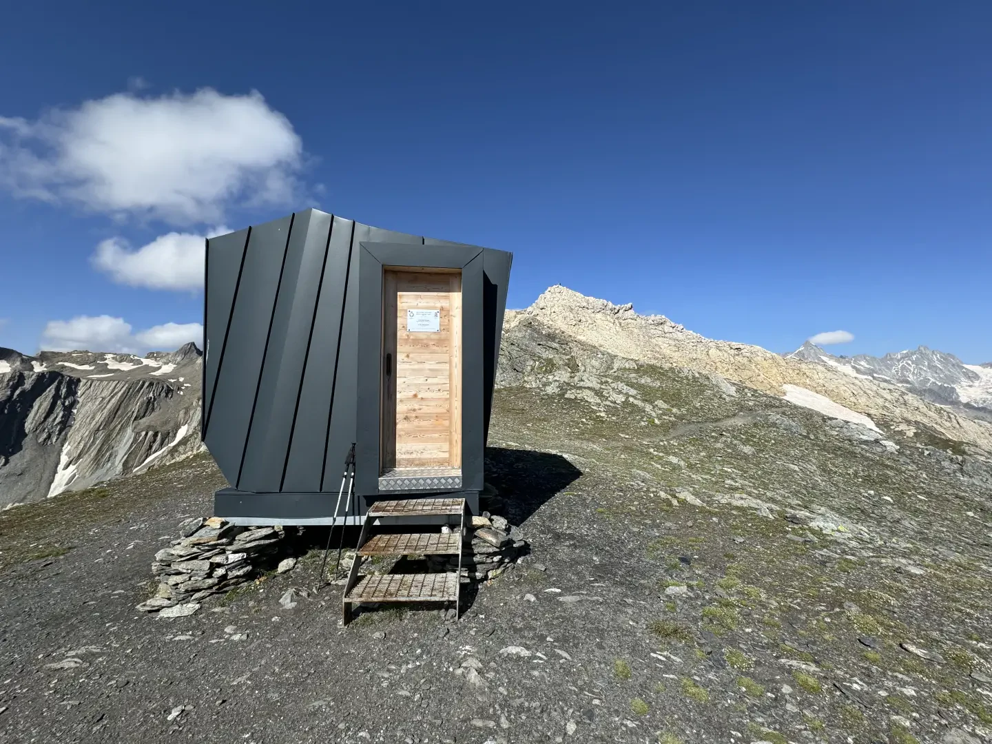

Edited by:
Massimo Martini
Canavari-Letey bivouac, from Baou
The Canavari-Letey bivouac was named in memory of Alfredo Canavari, Assistant Chief Coordinator of the State Police, and Alessandro Letey,...
T2
4.30 Km
470 m
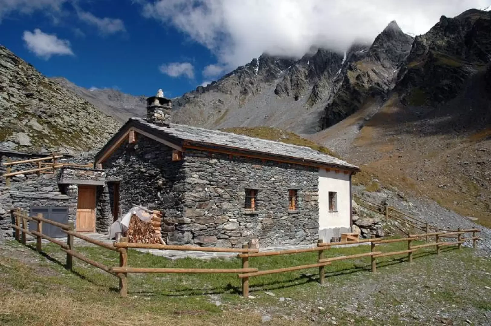
Edited by:
Massimo Martini
Molline Bivouac, from Prailles dessous
The Molline gorge lies at the foot of the western slope of Mont Velan on a glacial shelf separated from...
T2
14.00 Km
773 m
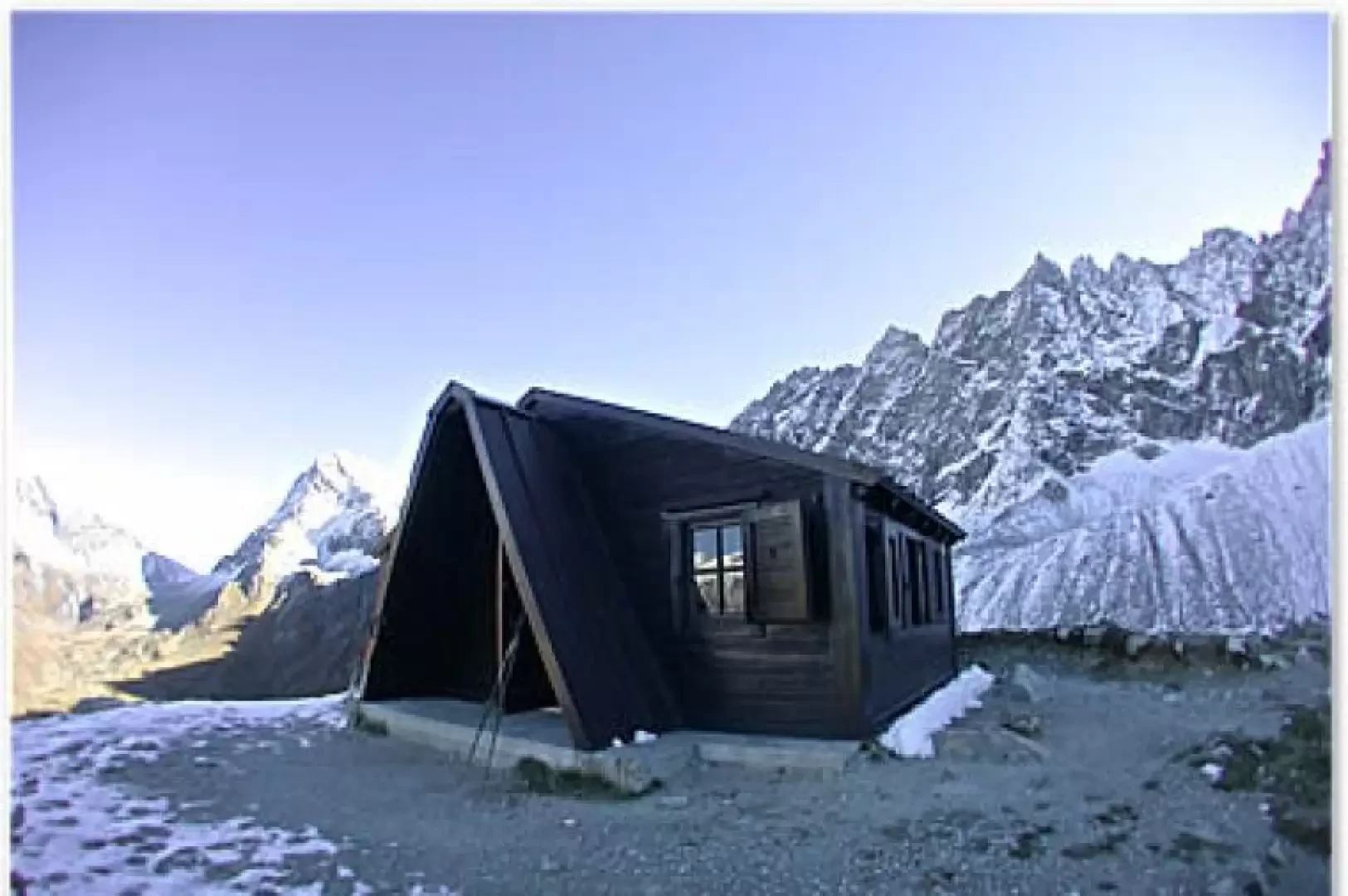
Edited by:
Massimo Martini
Regondi-Gavazzi bivouac, from Glassier
Walking is beautiful, this slogan is very appropriate for hikes such as the one described below; in fact, it is...
T2
0.00 Km
1041 m
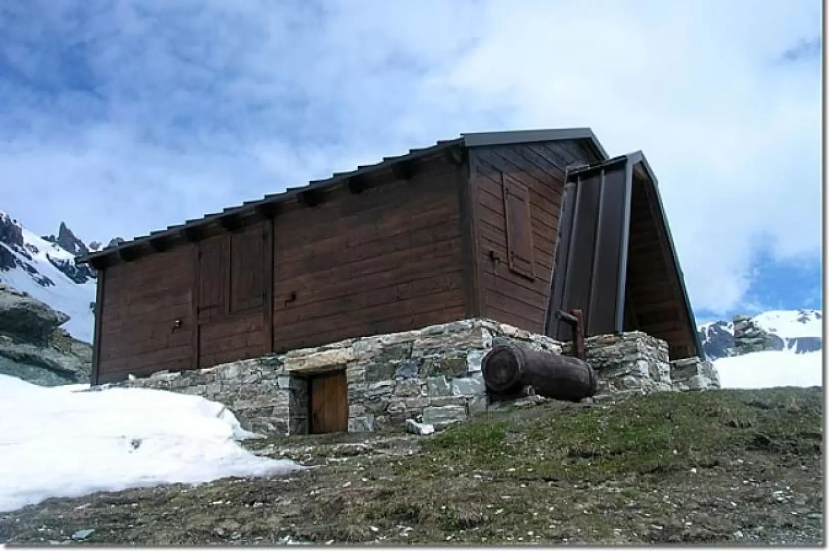
Edited by:
Massimo Martini
Rosazza Bivouac, from Glassier
Reconstructed in 2004, the new Rosazza bivouac at Savoie is a very interesting panoramic destination as well as a good...
T2
12.27 Km
1121 m

Edited by:
Benedetto Lorusso
Col de By, from Glassier
The col de By is situated between the Tete Blanche de By and the Tete du Filon and connects the...
T3
0.00 Km
1640 m
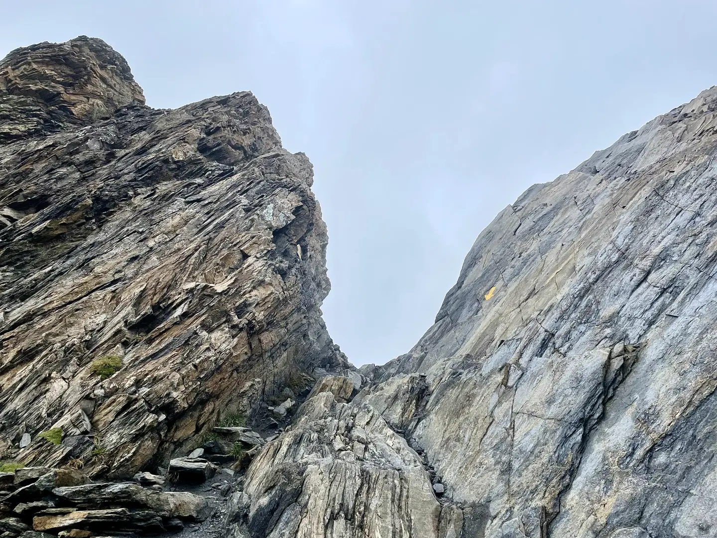
Edited by:
Massimo Martini
Col de Malatra, from the Crévacol car park
The route follows the entire valley, passing through a series of traditional mountain pastures — Devies, Merdeux desot, Côtes, Moindaz,...
T3
16.79 Km
1310 m
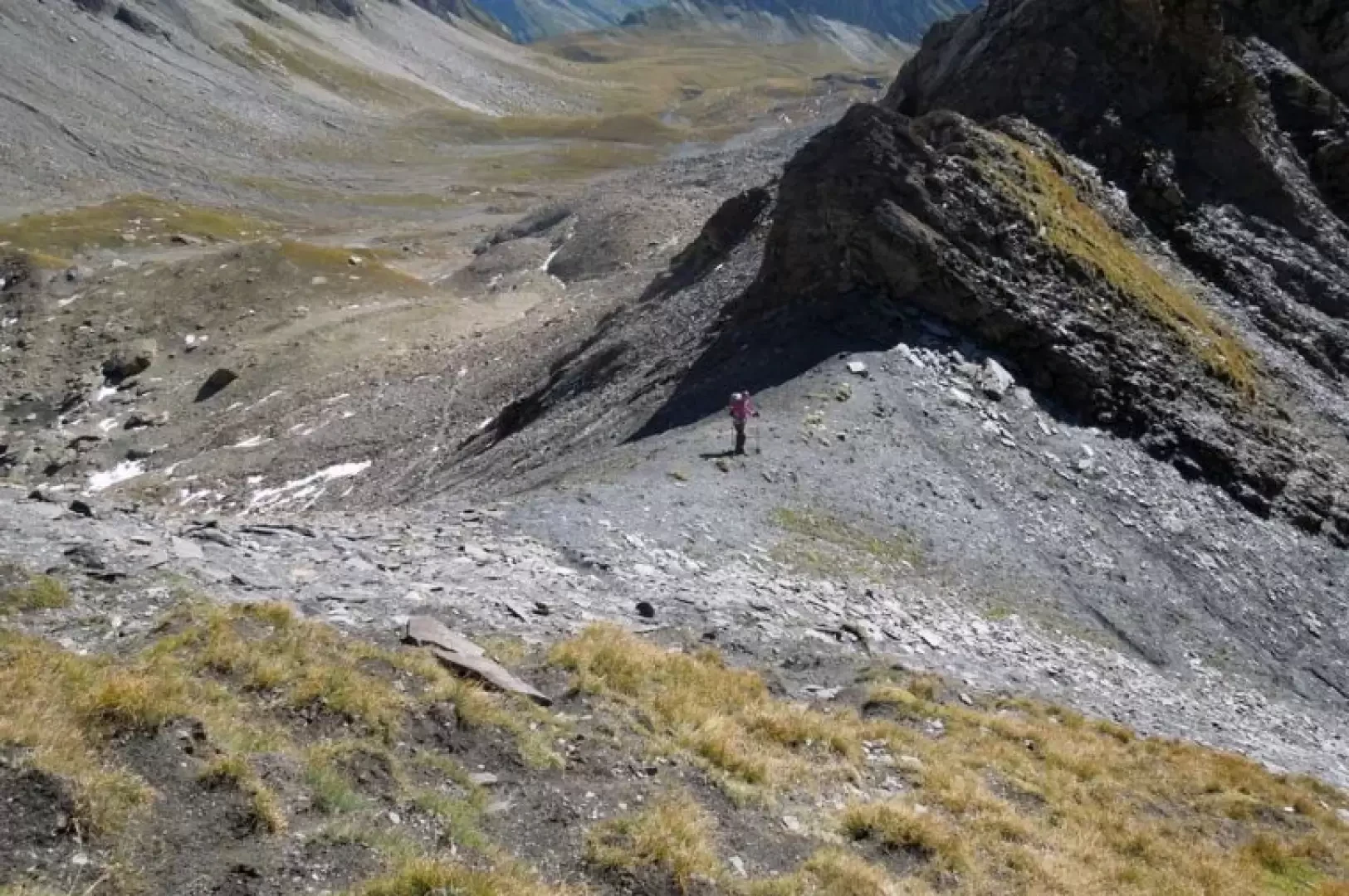

Edited by:
Giancarlo Beretta
Col des Ceingles
The little Col des Ceingles is located between the Momt Petit Golliat and the Aiguille des Ceingles and separates the...
T2
10.00 Km
801 m

Edited by:
Marcello Rossi
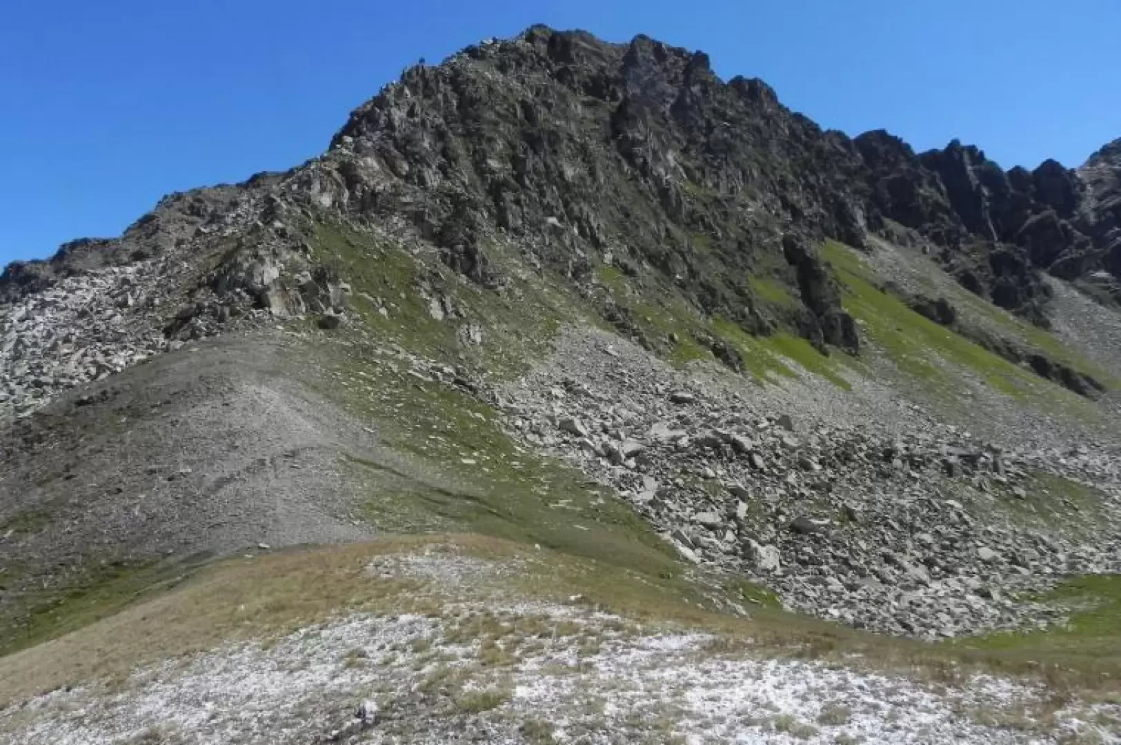
Colle Serena, from the Crevacol car park
Beautiful and scenic hike along a well-marked path with only a small section before the pass that presents slight difficulties...
T2
10.00 Km
884 m

Edited by:
Benedetto Lorusso
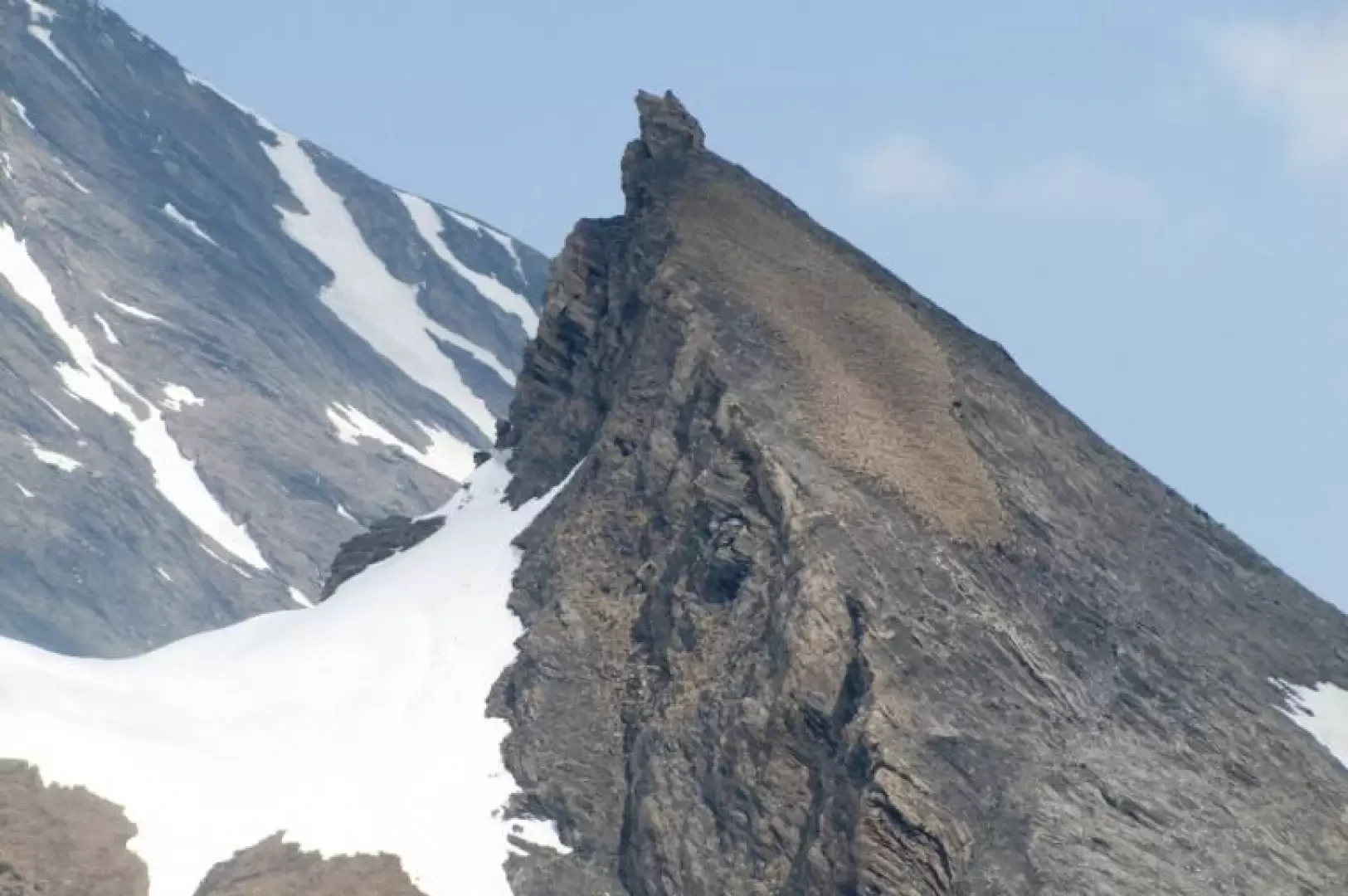
Dent des Ansermins, from Glassier
The Dent des Ansermins, a small elevation of the SE ridge of the Tete de Balme, corresponds to the altitude...
T3
0.00 Km
1283 m