Nearby
📍 Location Details
Latitude:
Longitude:
Accuracy:
Updated:
0 km
100 km
Path
km
-
km
m
m
Hike Type
Round trip
Circular
Crossing
Partially circular
Recommended Period
All
Hiking
Snowshoeing
Ski-mountaineering
Mountaineering
Via ferrata
Climbing
Mountain bike
Trekking
Active filters:
Tags: hiking,gignod
Showing 3 results
with active filters
Loading...

Edited by:
Massimo Martini
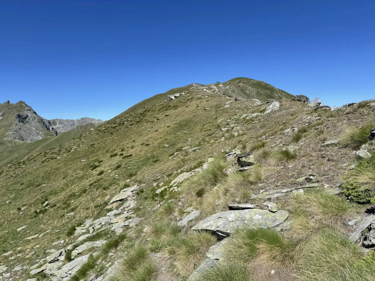
Mont Labiez, from the Mendey car park
A partly circular route leading to Mont Labiez, in the Gignod area, ascending from the Mendey car park through the...
T3
15.73 Km
1130 m
Edited by:
Massimo Martini
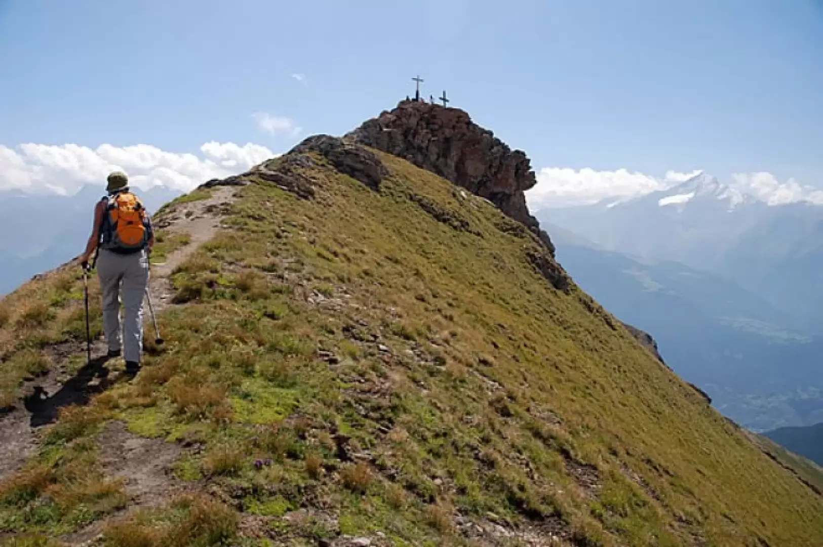
Pointe de Chaligne via the Crête de Tardiva, from the Mendey car park
The Pointe de Chaligne is the highest peak in the municipalities of Aosta and Gignod. Every year, on 16 August,...
T2
13.00 Km
1087 m
Edited by:
Massimo Martini
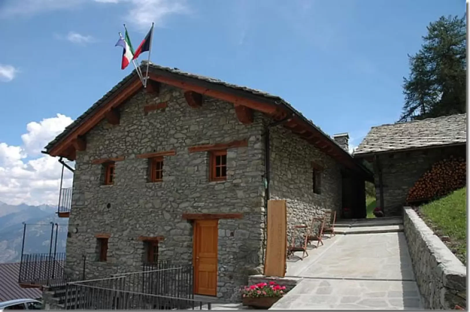
Chaligne Refuge, from Mendey
Short walk through woods and pastures at the foot of the Pointe de Chaligne. The destination is the newly opened...
T2
0.00 Km
413 m