Nearby
📍 Location Details
Latitude:
Longitude:
Accuracy:
Updated:
0 km
100 km
Path
km
-
km
m
m
Hike Type
Round trip
Circular
Crossing
Partially circular
Recommended Period
All
Hiking
Snowshoeing
Ski-mountaineering
Mountaineering
Via ferrata
Climbing
Mountain bike
Trekking
Active filters:
Tags: hiking,gressoney-la-trinite
Showing 15 results
with active filters
Loading...

Edited by:
Massimo Martini
Alta Luce, from the Staffal car park
A round-trip route ascending to the summit of Alta Luce (Hochlicht, 3,184 m), situated on the ridge separating the Lys...
T3
12.92 Km
1409 m


Edited by:
Ivano Ruffoni
Alta Luce, dal Gabiet
Itinerario escursionistico che conduce ad ammirare il magnifico ghiacciaio del Lys (Lysgletscher) da un incredibile belvedere. Lo sguardo, dalla vetta,...
T2
10.60 Km
881 m

Edited by:
Massimo Martini
Gastaldi Bivouac, by Ondre Eselbode
The Carlo Gastaldi bivouac is located in the basin of the Netscho lakes at an altitude of 2610 m. The...
T3
6.00 Km
973 m
Edited by:
Massimo Martini
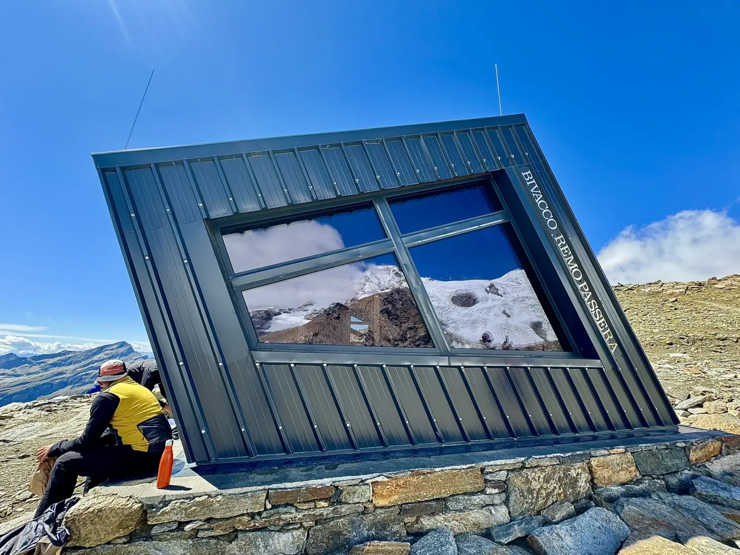
Passera Bivouac, from the Staffal car park
A route that follows the Lys Valley upstream from Staffal to the glacial edges of the Alta Luce, passing the...
T3
12.99 Km
1352 m


Edited by:
Marcello Rossi
Col d'Olen, from Staffal
The Col d'Olen is located along the Tour du Monte Rosa and connects the Gressoney valley with Valsesia, from the...
T2
0.00 Km
1135 m

Edited by:
Massimo Martini
Rothorn Pass, from Staffal
A pleasant, panoramic hike on the left-hand side of the upper Lys valley. The ascent to the Rothorn Pass is...
T2
10.00 Km
903 m
Edited by:
Marcello Rossi
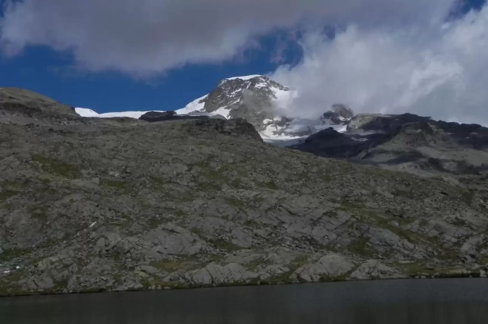
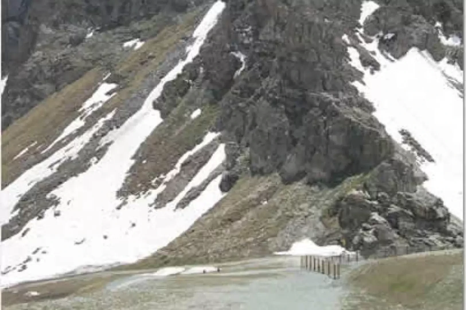
Gressoney Blue Lake, from Staffal
Salita al lago Blu di Gressoney, meno famoso dei due laghi ononimi della valle d'Ayas e di Valturnanche, ma ugualmente...
T2
0.00 Km
0 m

Edited by:
Alberto Rota
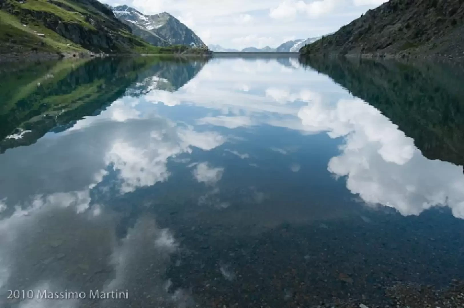
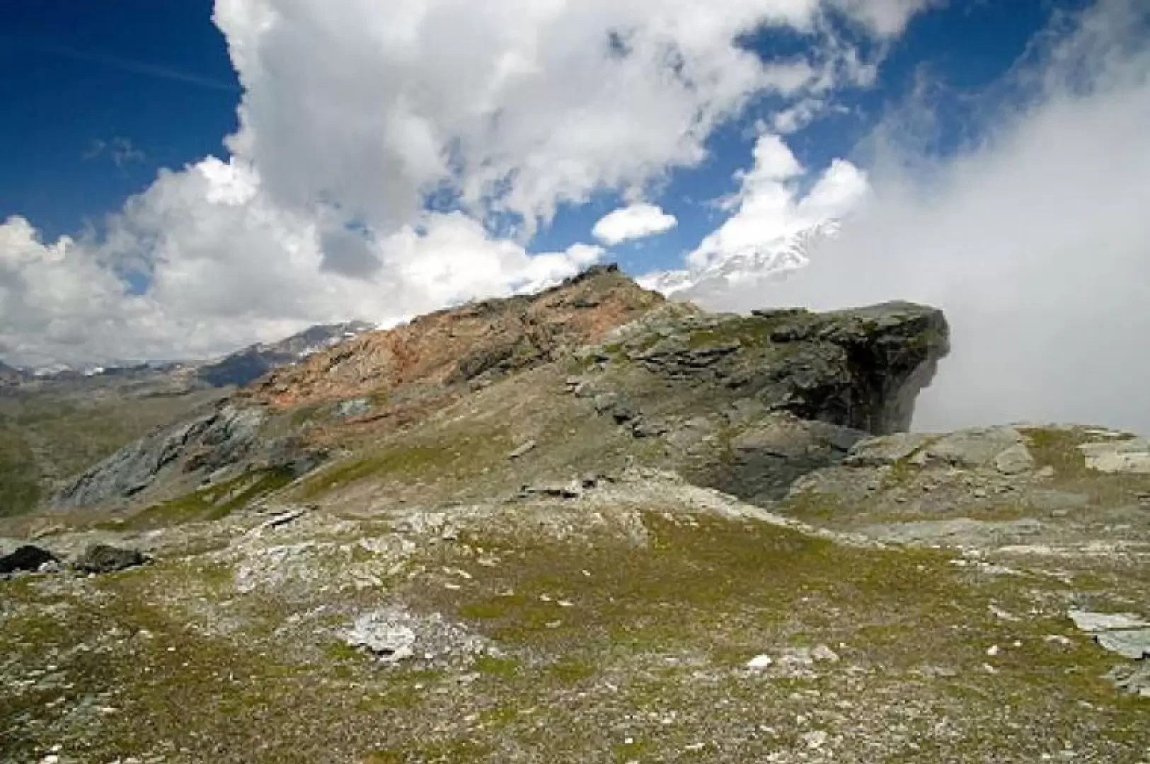
Bettaforca Pass, from Staffal
This itinerary starts from Staffal and leads to the Colle della Bettaforca, the pass point towards the Val d'Ayas, along...
T2
10.80 Km
850 m

Edited by:
utanapistim
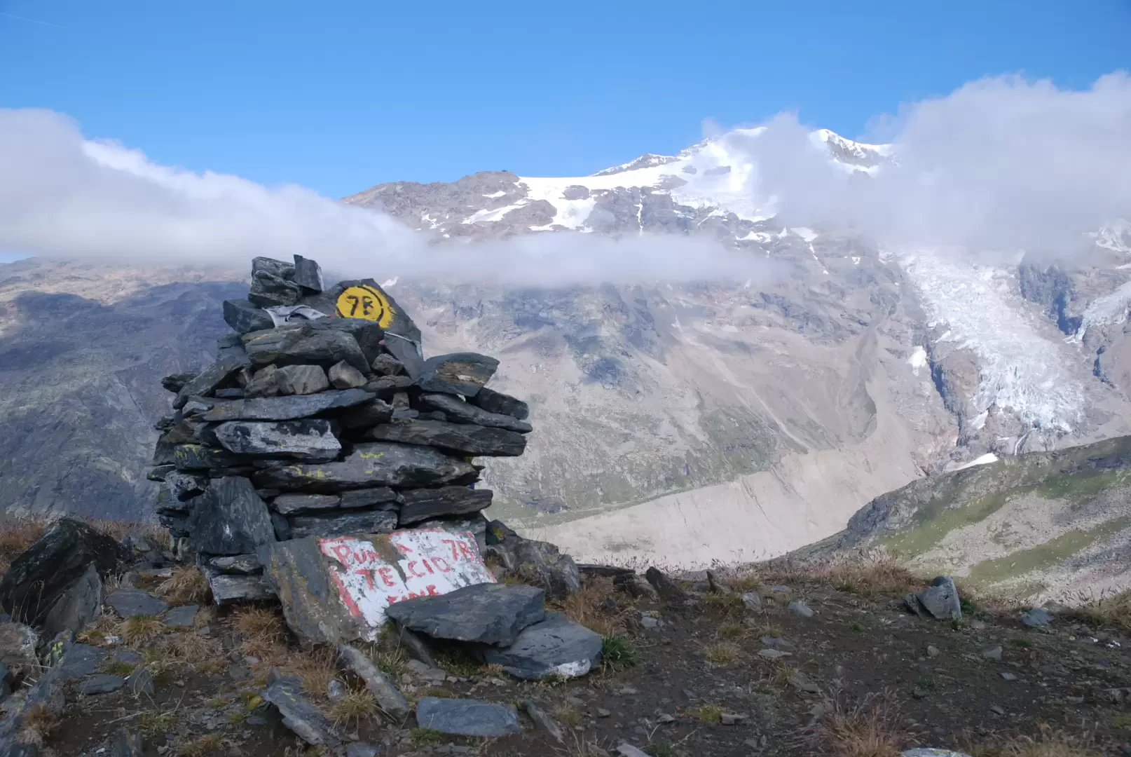
Zube Pass, from the Gabiet cable car
The proposed itinerary leads to the "kilometre-long" trenches and walkways erected at Zube Pass during the First World War. The...
T3
0.00 Km
0 m
Edited by:
Massimo Martini
Punta Telcio, from Staffal
Punta Telcio (2833 m), easily recognisable by its obvious avalanche barriers, is located on the south-east side of the Moos...
T3
18.55 Km
1209 m

Edited by:
Massimo Martini
Rifugio Città di Mantova, from Passo dei Salati
An approach hike to one of the most important starting points for mountaineering excursions in the Monte Rosa massif, but...
T4
0.00 Km
562 m