Nearby
📍 Location Details
Latitude:
Longitude:
Accuracy:
Updated:
0 km
100 km
Path
km
-
km
m
m
Hike Type
Round trip
Circular
Crossing
Partially circular
Recommended Period
All
Hiking
Snowshoeing
Ski-mountaineering
Mountaineering
Via ferrata
Climbing
Mountain bike
Trekking
Active filters:
Tags: hiking,huts,lys-valley
Showing 8 results
with active filters
Loading...

Edited by:
Massimo Martini
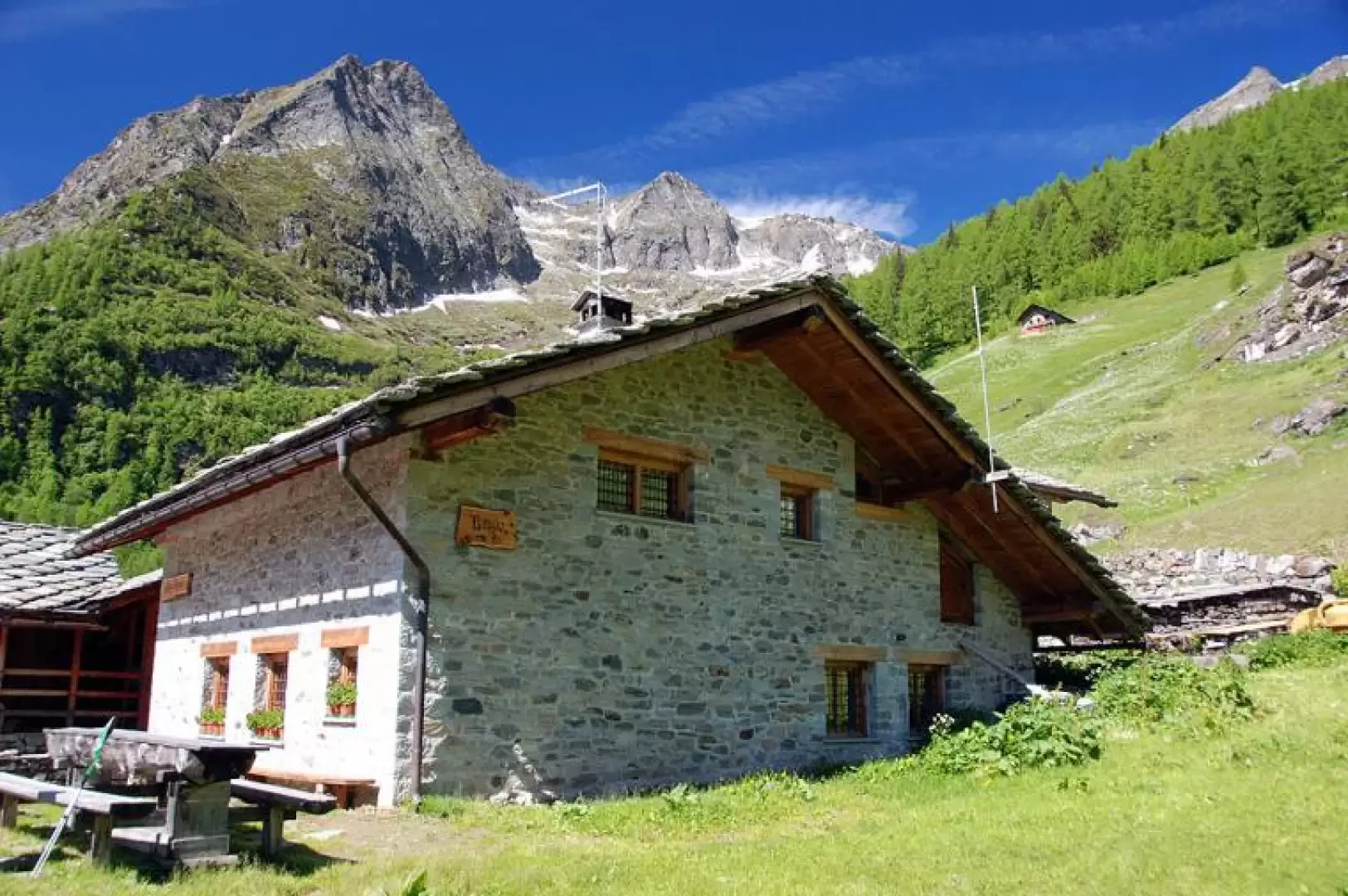
Alpenzù Refuge, from Tschemenoal
On the steep western slope of the Gressoney valley lies the village of Alpenzù, a Walser nucleus that bears witness...
T2
2.33 Km
361 m

Edited by:
Massimo Martini
Rifugio Città di Mantova, from Passo dei Salati
An approach hike to one of the most important starting points for mountaineering excursions in the Monte Rosa massif, but...
T4
0.00 Km
562 m

Edited by:
elbarto.87
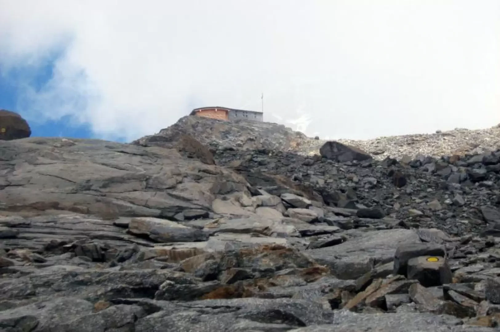
Rifugio Città di Mantova, from Passo dei Salati
Medium difficulty route, very well marked. Suitable for people who have no experience with crampons, but who still want to...
T3
13.39 Km
1127 m


Edited by:
Ivano Ruffoni
Rifugio Coda
Il Rifugio Coda sorge in prossimità della Punta Sella, alle pendici del Mont Mars. Il rifugio è base di partenza...
T2
10.60 Km
812 m
Edited by:
Massimo Martini
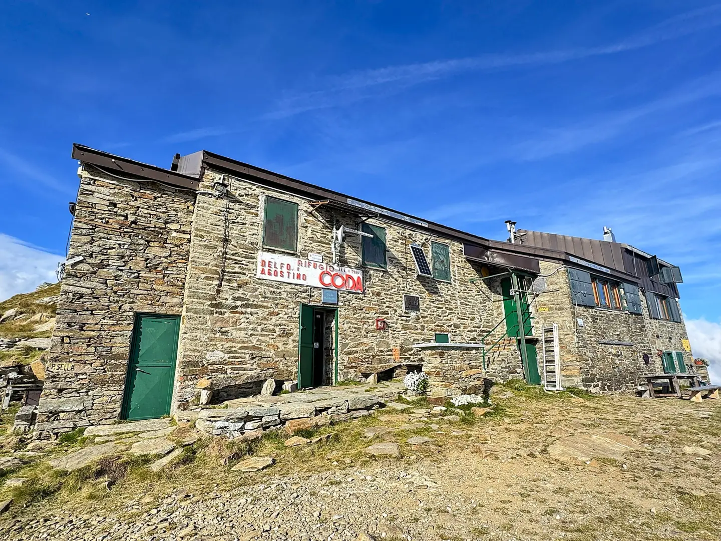
Coda Mountain Hut, from Sassa
A route that climbs up the valley between Sassa and Colle di Carisé, passing through high-altitude pastures, mountain pastures and...
T2
8.86 Km
859 m
Edited by:
Maurizio Loconti
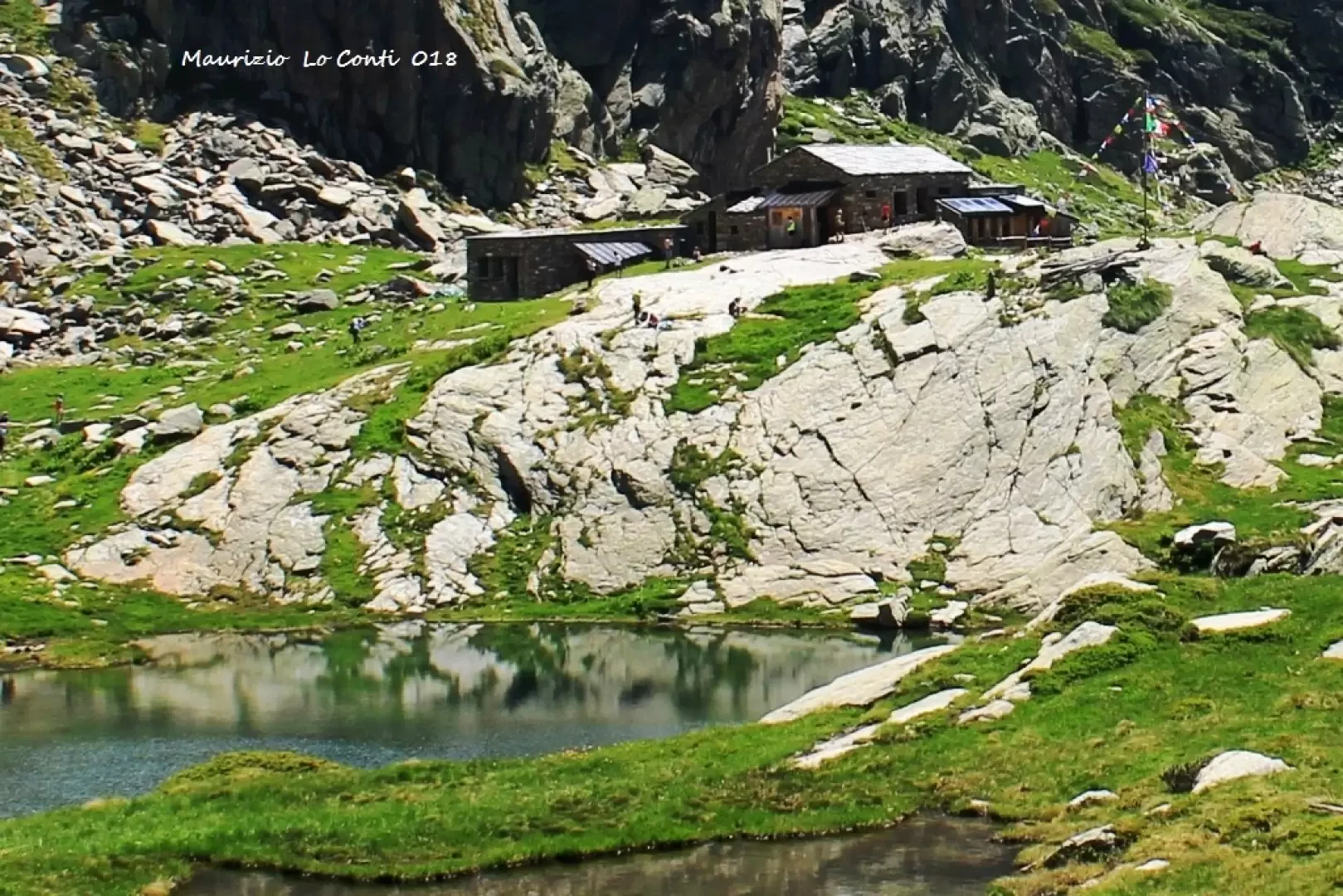
Refuge de la Barma, from Coumarial
The trip to Valle d'Aosta is a long way from Liguria in terms of kilometres, but in terms of timing...
T2
13.00 Km
825 m
Edited by:
Ivano Ruffoni
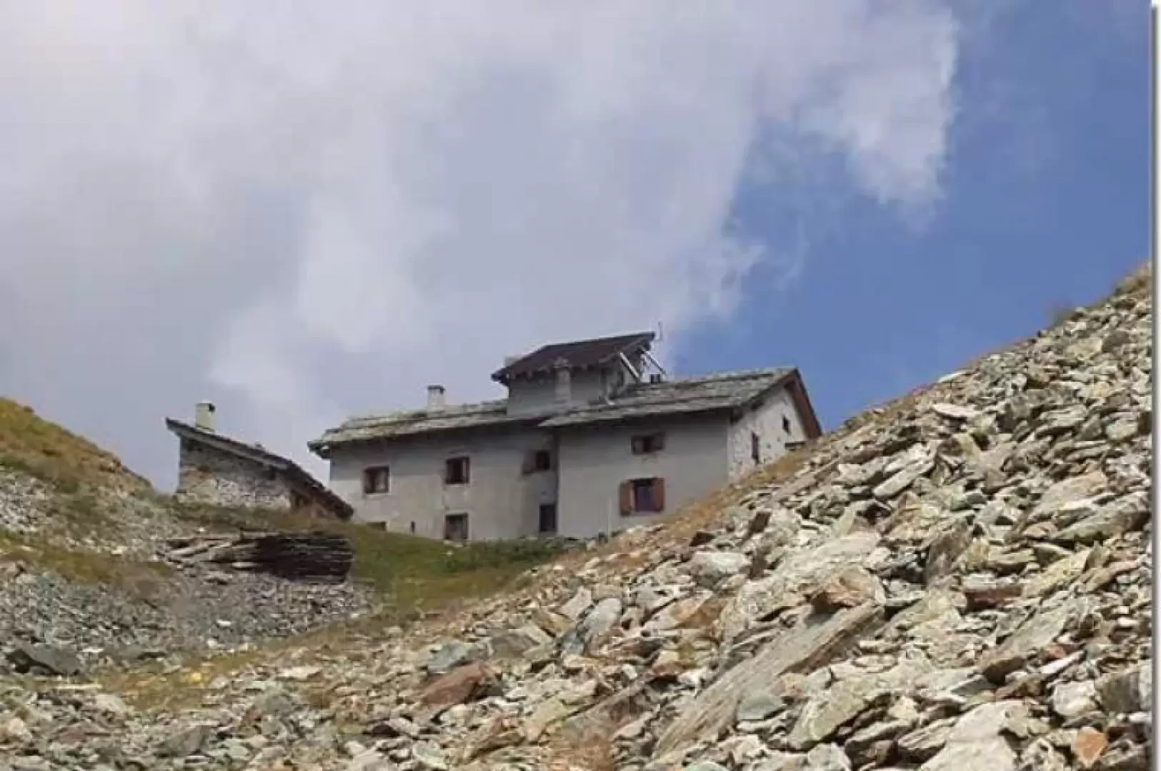
Rifugio Ospizio Sottile, from Verdebiô
The Rifugio Ospizio Sottile is located at the Colle Valdobbia, a wide pass between the Corno Valdobbia and the Punta...
T2
0.00 Km
1153 m

Edited by:
Massimo Martini
Quintino Sella Refuge at Felik, from the Bettaforca Pass
The route to the Quintino Sella Refuge is usually frequented by mountaineers preparing to make the ascents of the Castore...
T3
8.80 Km
858 m