Nearby
📍 Location Details
Latitude:
Longitude:
Accuracy:
Updated:
0 km
100 km
Path
km
-
km
m
m
Hike Type
Round trip
Circular
Crossing
Partially circular
Recommended Period
All
Hiking
Snowshoeing
Ski-mountaineering
Mountaineering
Via ferrata
Climbing
Mountain bike
Trekking
Active filters:
Tags: hiking,la-salle
Showing 16 results
with active filters
Loading...

Edited by:
Massimo Martini
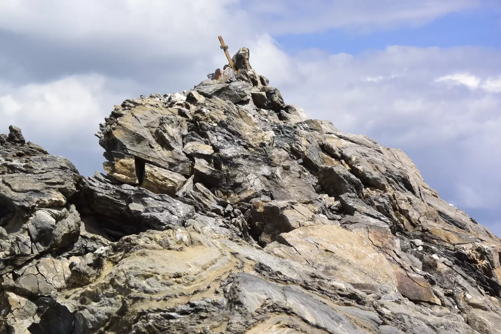
Aiguille d'Artanavaz via Ecoules, from Planaval – La Salle
T3
13.91 Km
1274 m

Edited by:
Benedetto Lorusso
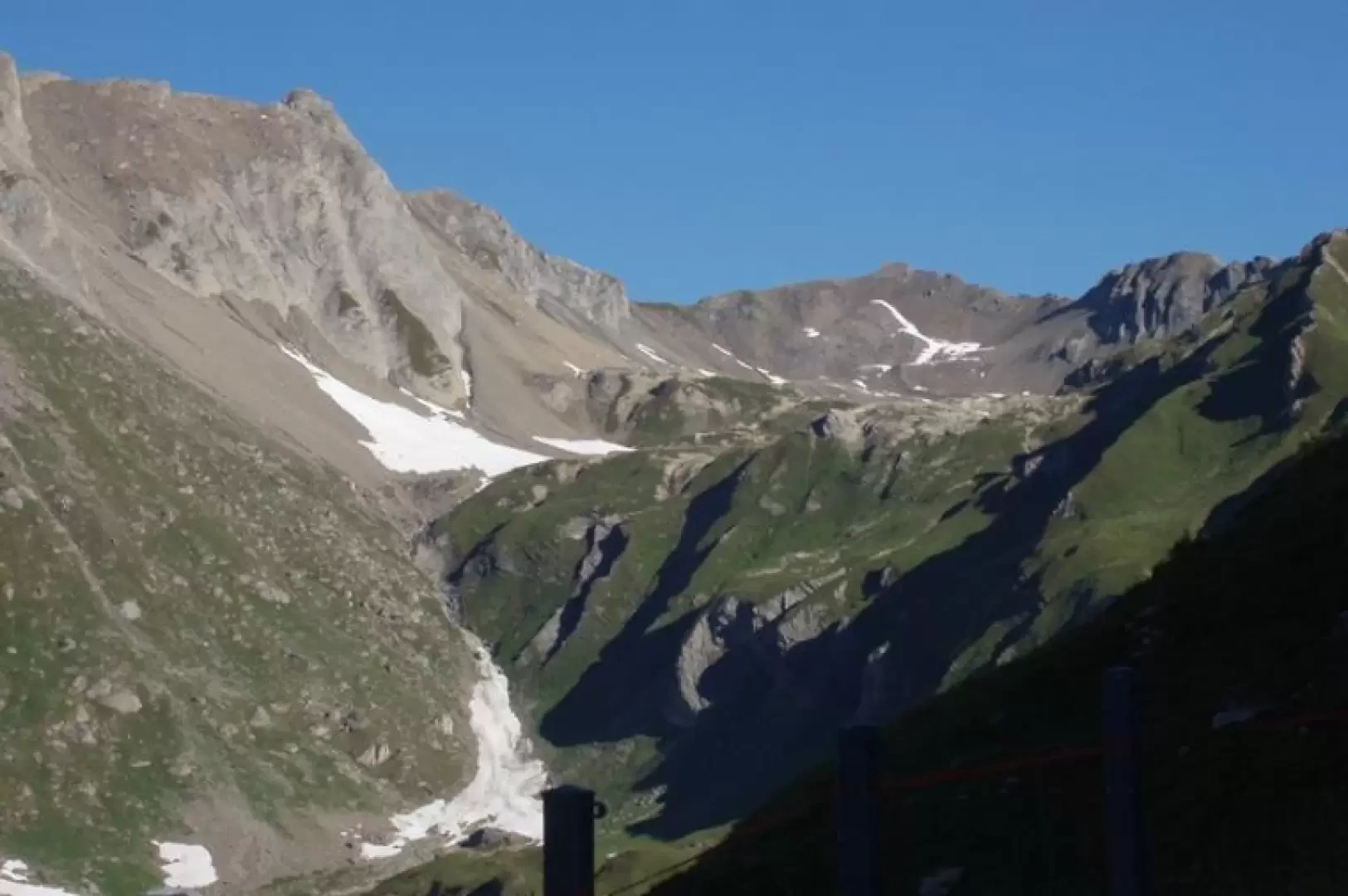
Aiguille d'Artanavaz via Rantin, from Planaval – La Salle
The final destination offers a breathtaking view: Mont Blanc and the Grandes Jorasses, whilst the horizon stretches from the Combin...
T3
17.60 Km
1346 m
Edited by:
Massimo Martini
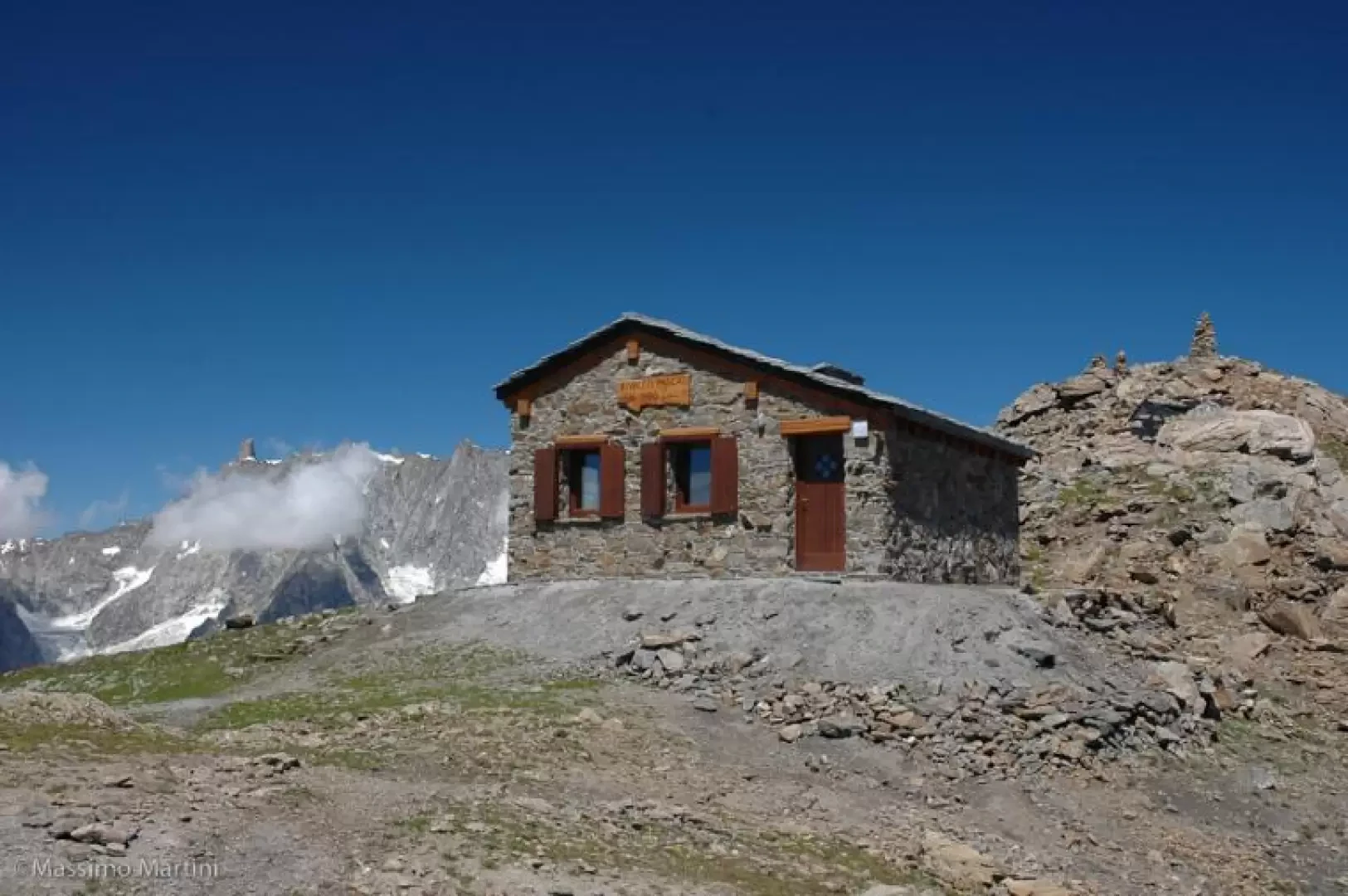
Pascal Bivouac, from the car parks at Morge
A round-trip route which, starting from Morge di La Salle, climbs up the Vallon de Chambave to the Luigi Pascal...
T2
19.19 Km
1488 m
Edited by:
Massimo Martini
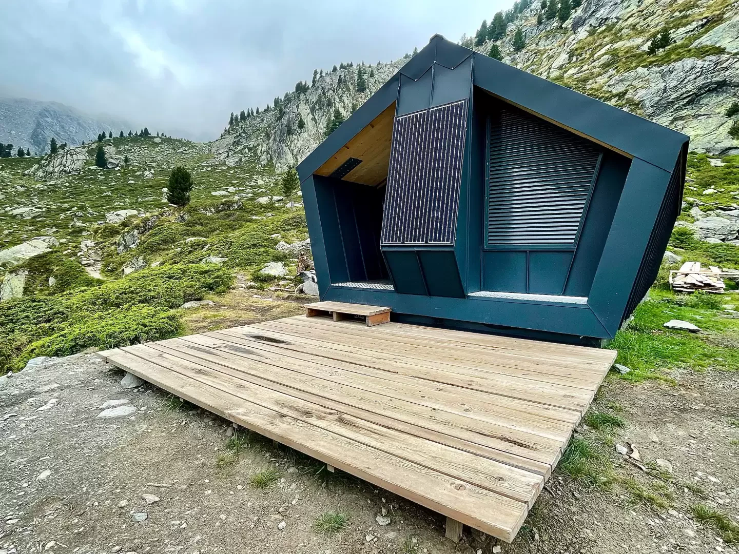
Zappelli Bivouac, from Pré Maudil
The valley above Pré Maudil, in the municipality of La Salle, can be ascended entirely via footpaths and farm tracks...
T2
13.52 Km
1135 m
Edited by:
Massimo Martini
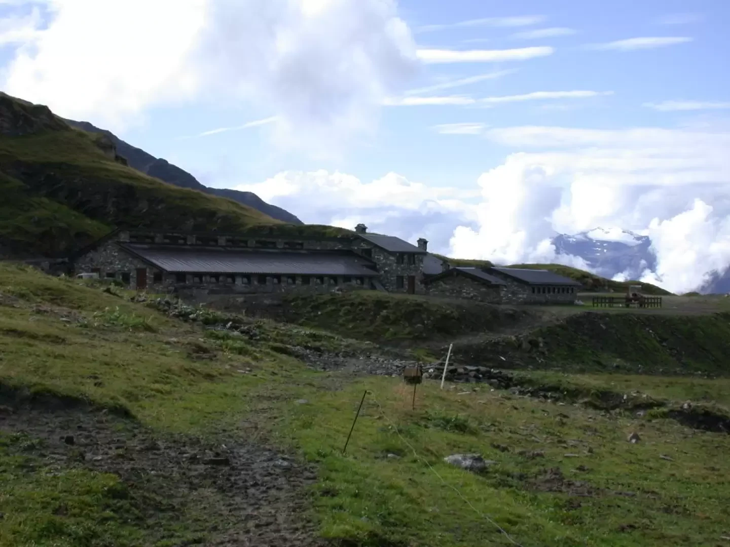
Bonalex, from Planaval
An excursion to discover the rural world of Valle d'Aosta. The route along a comfortable cart track allows you to...
T1
10.00 Km
575 m

Edited by:
Massimo Martini
Château de Chatelard
Piacevole itinerario alla scoperta dei dolci pendii della Valdigne tra Morgex e La Salle. L'escursione conduce al Château de Chatelard,...
T2
5.79 Km
274 m


Edited by:
Massimo Martini
Fenêtre de Sereina, from Planaval
A medium-length route. All along the route, panoramic views abound and are well combined with the discreet charm of the...
T2
9.00 Km
797 m

Edited by:
Massimo Martini
Col Battaglione Aosta, from the Morges car park
The Comba de Chambave is bordered to the east and west by the Grande Rochère and the Aiguille de Chambave....
T2
15.10 Km
1313 m


Edited by:
Giancarlo Beretta
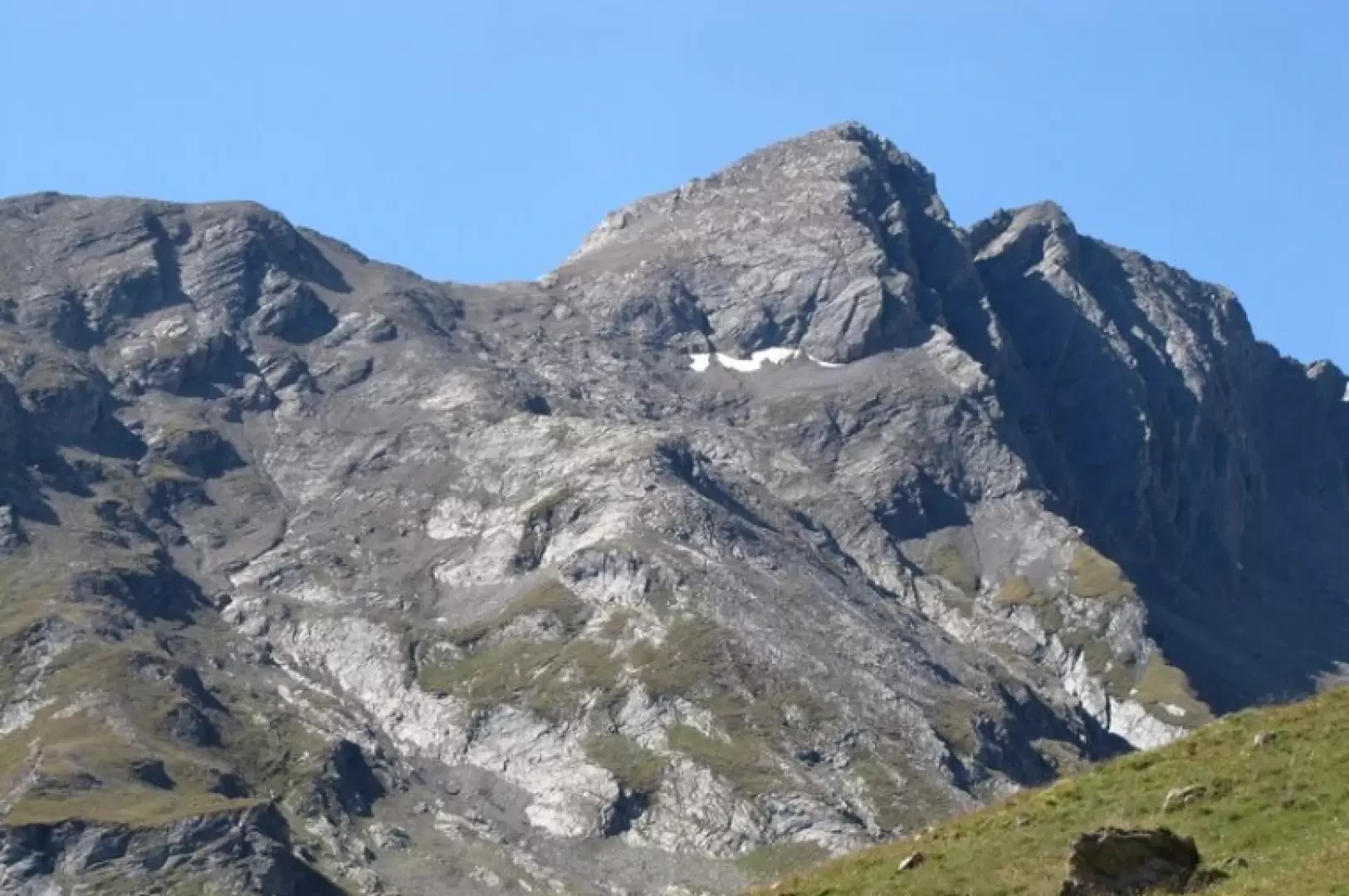
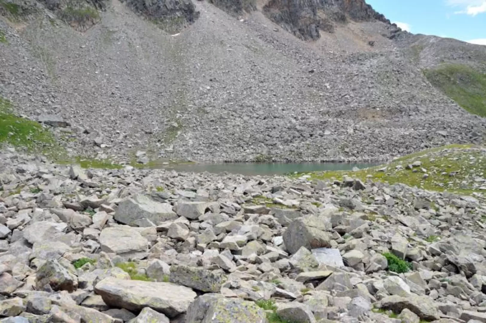
Lac de Sereina, from Planaval to Bonalex
The loop itinerary proposed here allows you to explore, first in its lower section and then in the verdant upper...
T2
0.00 Km
739 m