Nearby
📍 Location Details
Latitude:
Longitude:
Accuracy:
Updated:
0 km
100 km
Path
km
-
km
m
m
Hike Type
Round trip
Circular
Crossing
Partially circular
Recommended Period
All
Hiking
Snowshoeing
Ski-mountaineering
Mountaineering
Via ferrata
Climbing
Mountain bike
Trekking
Active filters:
Tags: hiking,pass,3000,aosta-valley
Showing 19 results
with active filters
Loading...

Edited by:
Massimo Martini
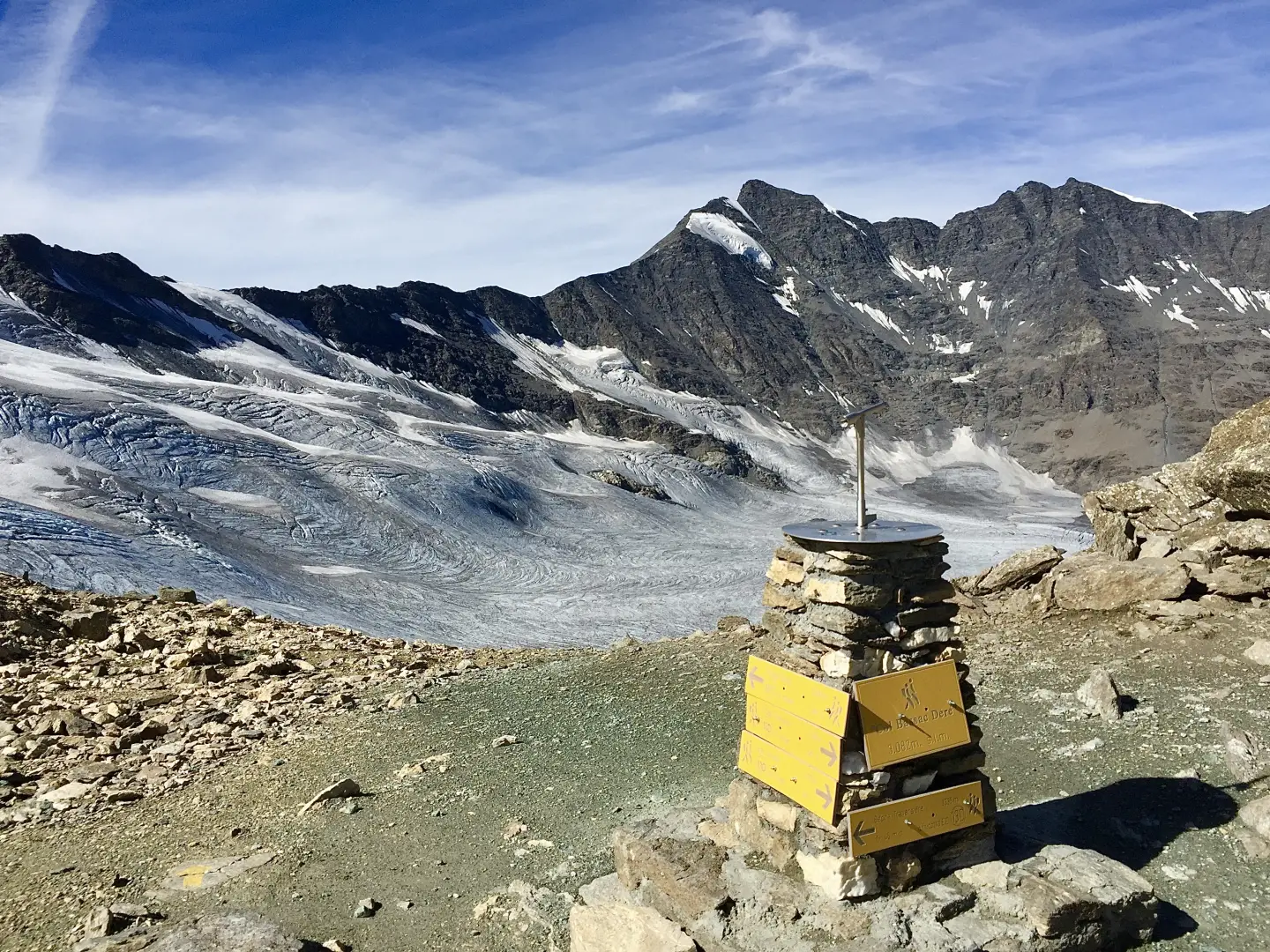
Col Bassac Déré, from the Surrier car park
The Col Bassac Déré (3,082m) links Valgrisenche with Val di Rhêmes, forming a pass used for transits between the two...
T2
20.96 Km
1314 m


Edited by:
Giancarlo Beretta
Col Bassac Deré, from Thumel
A long but very satisfying hike with a changing environment: it goes from the pastures of the lower valley to...
T3
18.00 Km
1228 m
Edited by:
Massimo Martini
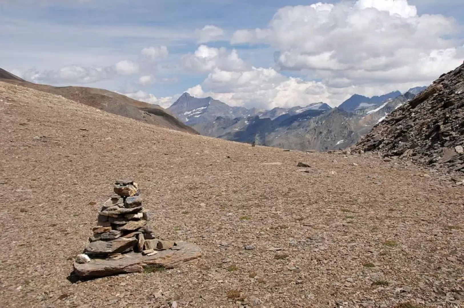
Col Bassac, from Surrier
The Col Bassac is one of the hiking passes between Valgrisenche and Val di Rhemes. Despite its 3154m, the hike...
T3
20.38 Km
1358 m
Edited by:
Massimo Martini
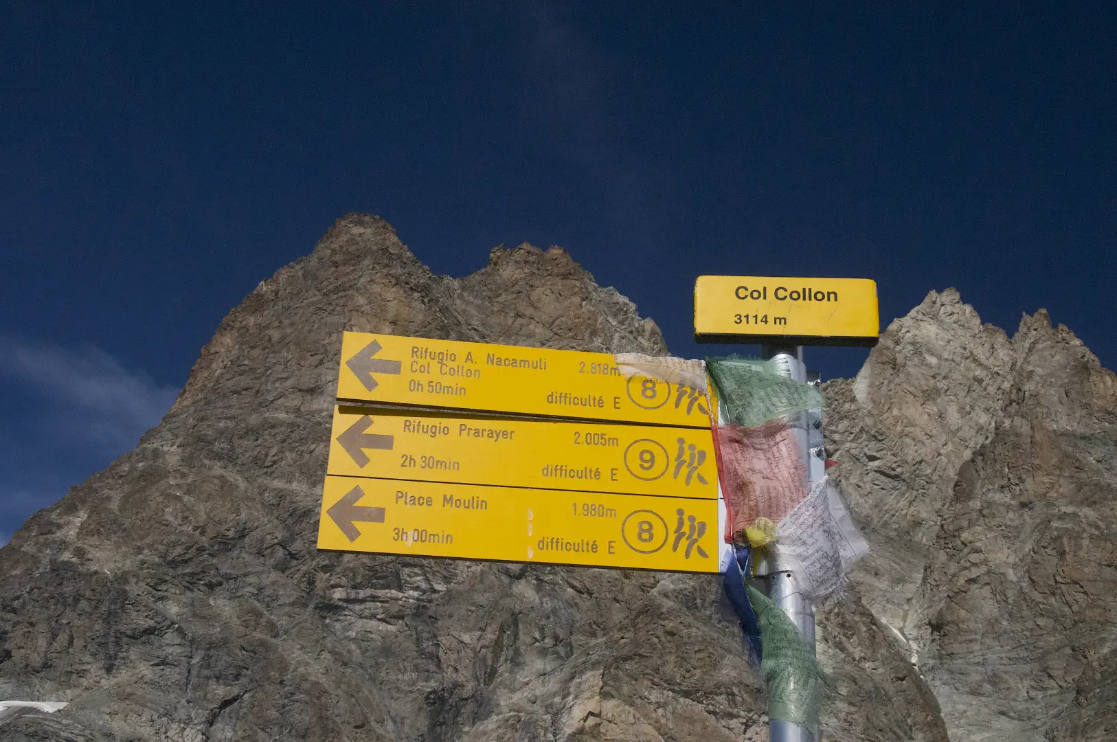
Col Collon, da Place Moulin
Breve escursione per chi giunge dal rifugio ma significativa camminata da chi parte dalla diga di Place Moulin. Le condizioni...
T3
0.00 Km
286 m


Edited by:
Benedetto Lorusso
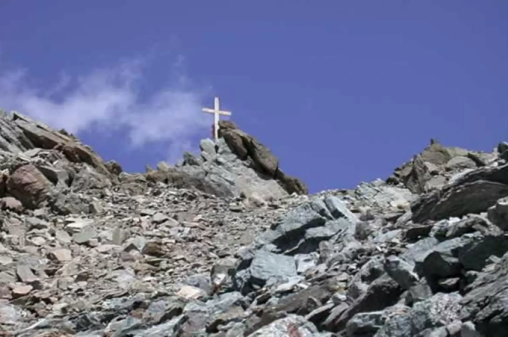
Col de By, from Glassier
The col de By is situated between the Tete Blanche de By and the Tete du Filon and connects the...
T3
0.00 Km
1640 m
Edited by:
Massimo Martini
Col de Valcornière, da Place Moulin
Interessante escursione in ambiente desolato ma estremamente affascinante. Dopo aver percorso per un tratto la Comba de Valcornière si risale...
T3
20.00 Km
1115 m

Edited by:
Benedetto Lorusso
Col de Vertsan, da Ruz
Il colle mette in collegamento la bella comba di Vertsan con quella della Tsa ed eventualmente con quella di Chamen,...
T3
10.70 Km
1305 m
Edited by:
Massimo Martini
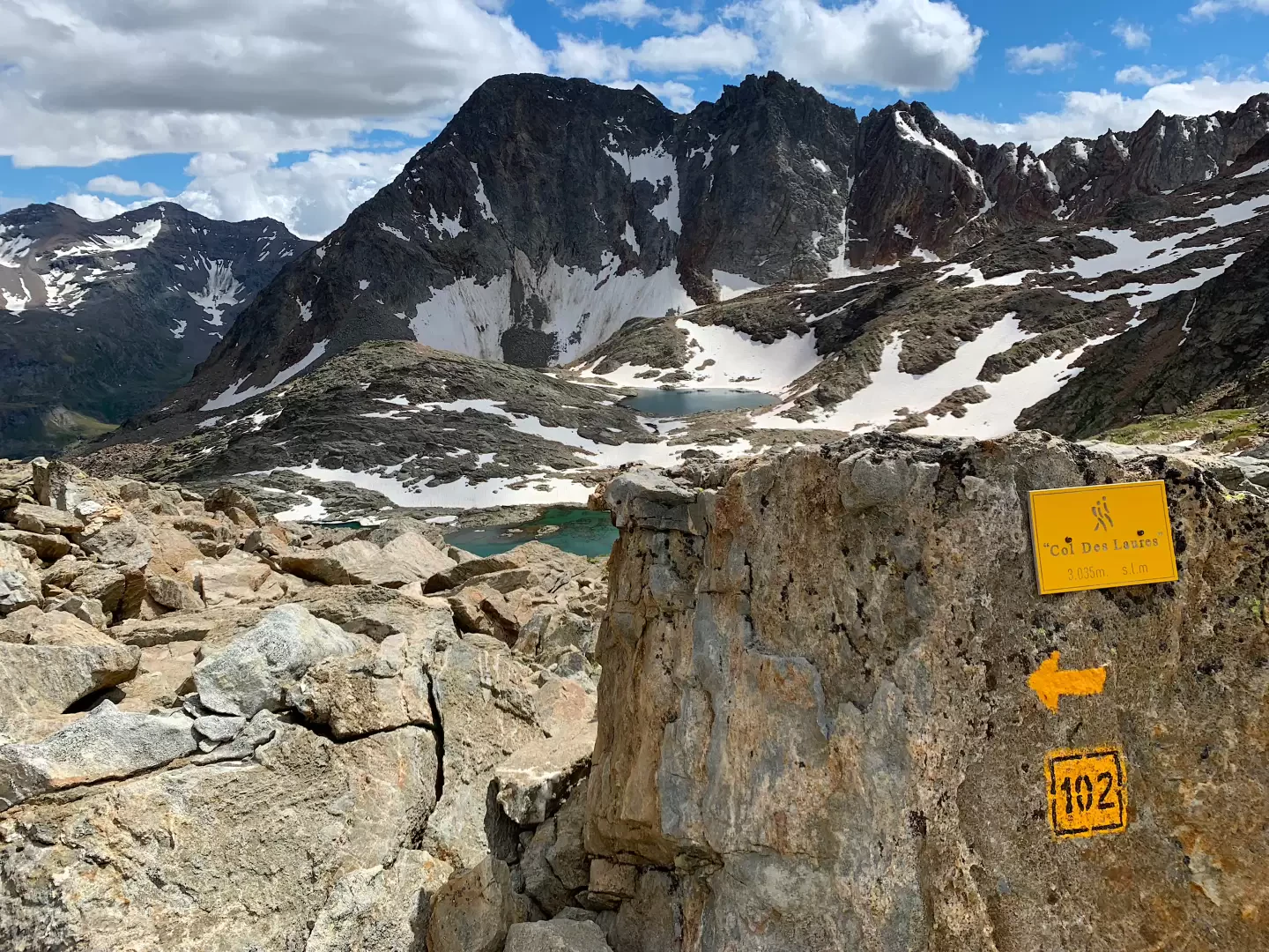
Col des Laures, from Gimillan
The Col des Laures is an important pass between the central valley (Vallone delle Laures) and the Cogne valley but,...
T2
20.00 Km
1261 m


Edited by:
Massimo Martini
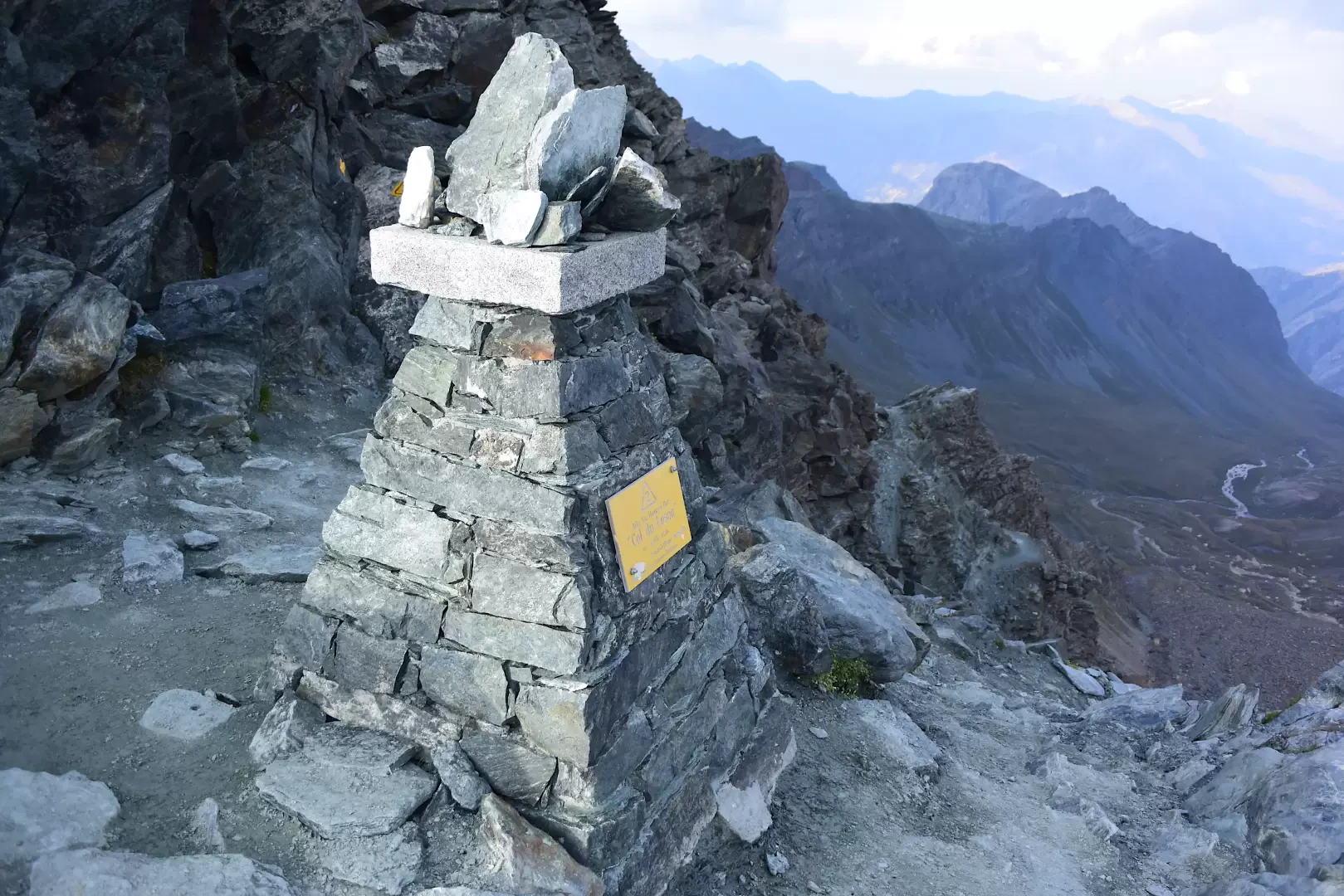
Col du Loson, from the Valnontey car park
The Col Loson (3,299m) is an iconic landmark for Valdostan hiking: it represents the highest altitude of the Aosta Valley's...
T3
20.77 Km
922 m

Edited by:
Massimo Martini
Col Entrelor, from Rhêmes-Notre-Dame
The Col Entrelor is a pass linking the Val di Rhêmes
with Valsavarenche. At 3007m, it is one of the...
T3
11.00 Km
1273 m