Nearby
📍 Location Details
Latitude:
Longitude:
Accuracy:
Updated:
0 km
100 km
Path
km
-
km
m
m
Hike Type
Round trip
Circular
Crossing
Partially circular
Recommended Period
All
Hiking
Snowshoeing
Ski-mountaineering
Mountaineering
Via ferrata
Climbing
Mountain bike
Trekking
Active filters:
Tags: hiking,pass,aosta-valley
Showing 110 results
with active filters
Loading...

Edited by:
Alain Martini
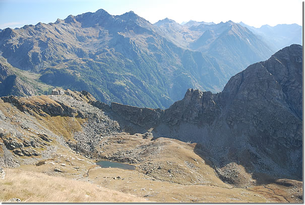
Mouth of Eclou, from the Fenillettaz car park
Walk halfway up the slopes of Mont Bieteron (2763m), climb up the Estoul valley to the lakes of the same...
T2
0.00 Km
913 m

Edited by:
Massimo Martini
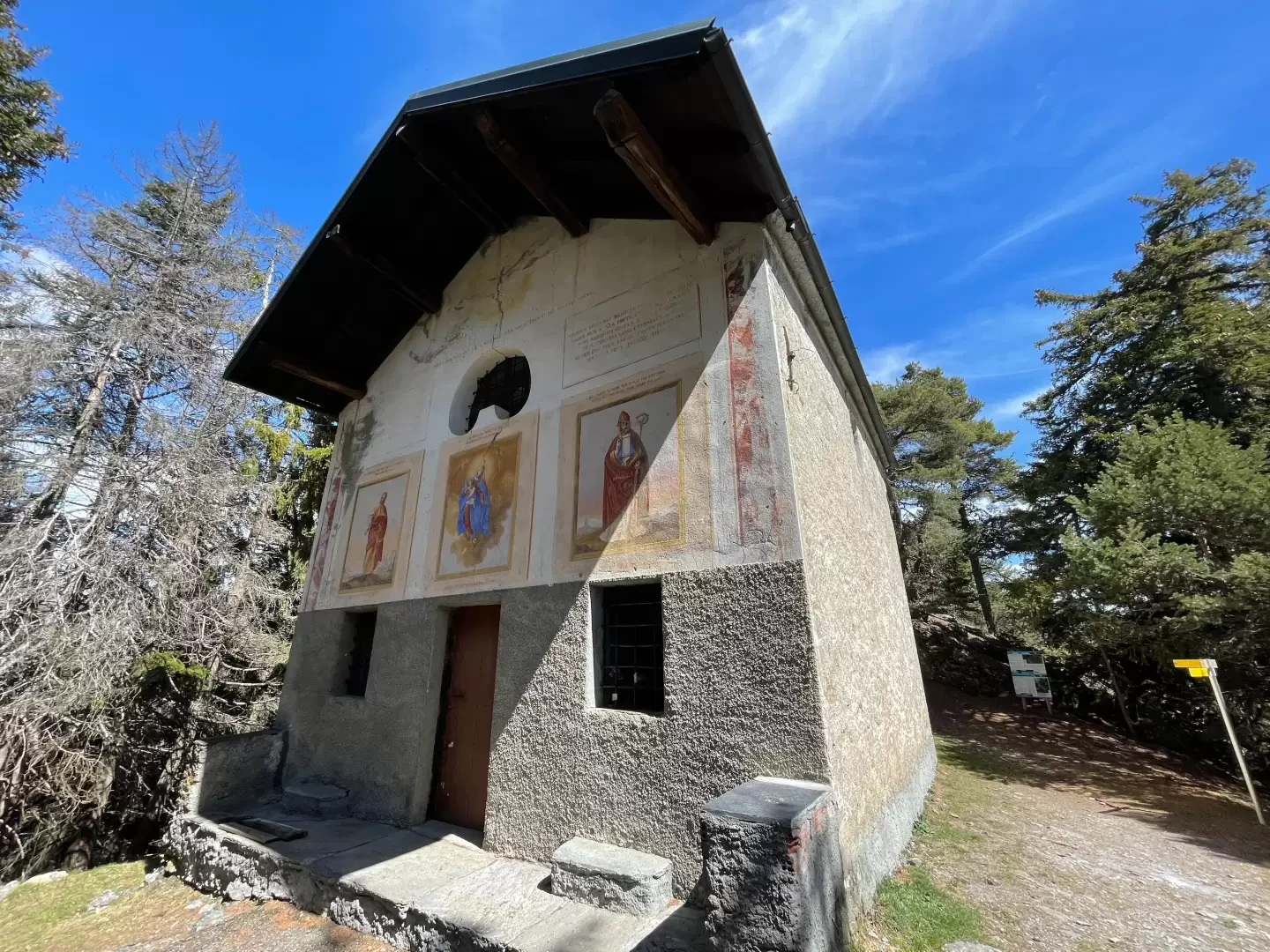
Chapel of Saint-Pantaléon, from Mognod
The hike to the chapel of Saint-Pantaléon winds its way between the houses of Mognod and the open pastures dominating...
T2
5.68 Km
191 m
Edited by:
Massimo Martini
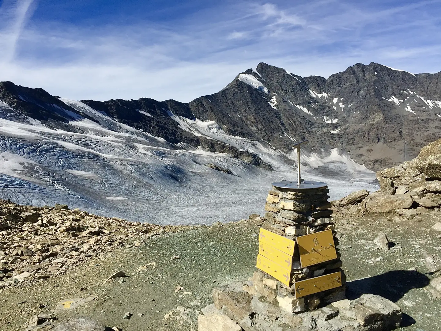
Col Bassac Déré, from the Surrier car park
The Col Bassac Déré (3,082m) links Valgrisenche with Val di Rhêmes, forming a pass used for transits between the two...
T2
20.96 Km
1314 m


Edited by:
Giancarlo Beretta
Col Bassac Deré, from Thumel
A long but very satisfying hike with a changing environment: it goes from the pastures of the lower valley to...
T3
18.00 Km
1228 m
Edited by:
Massimo Martini
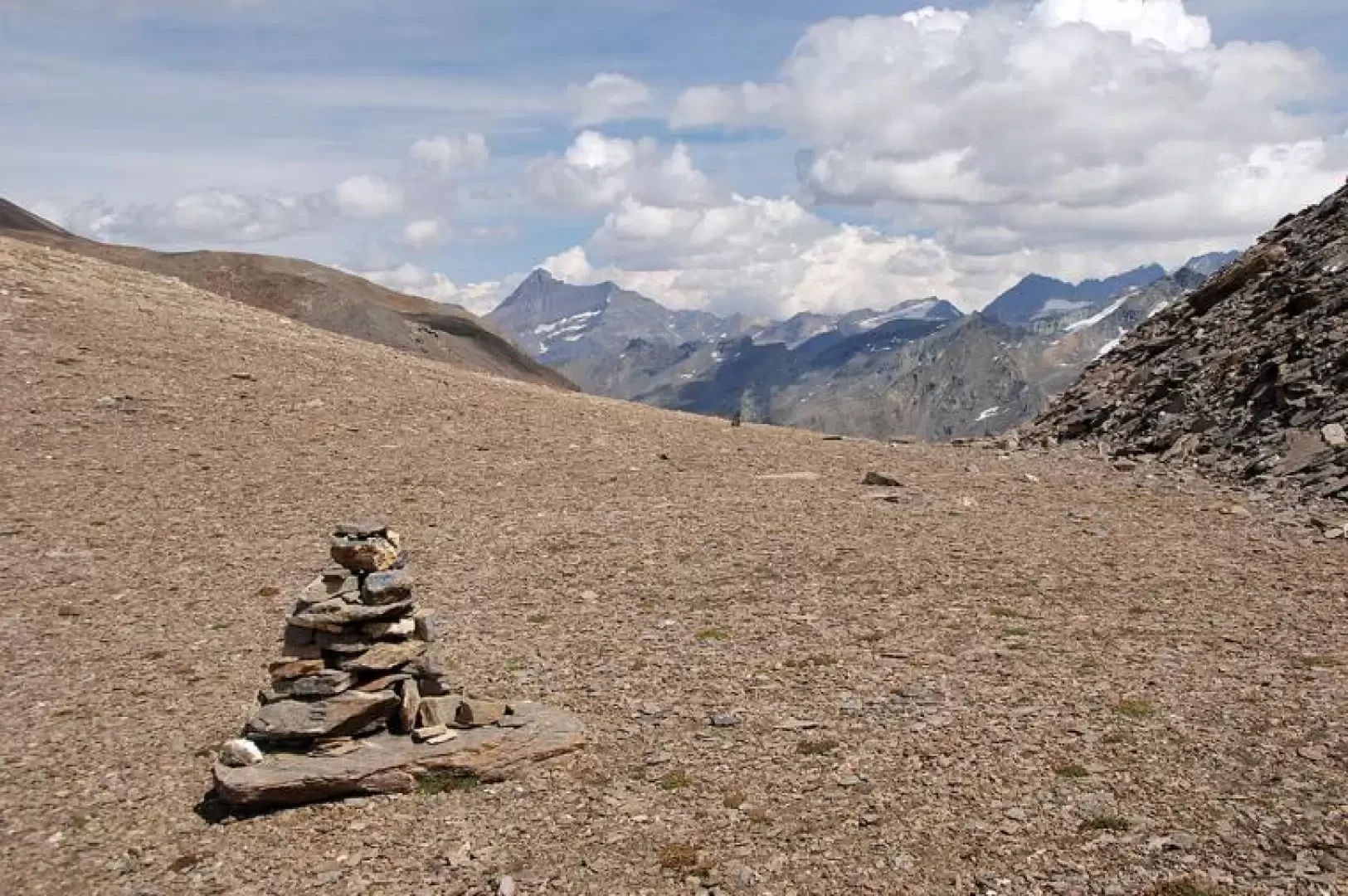
Col Bassac, from Surrier
The Col Bassac is one of the hiking passes between Valgrisenche and Val di Rhemes. Despite its 3154m, the hike...
T3
20.38 Km
1358 m

Edited by:
Massimo Martini
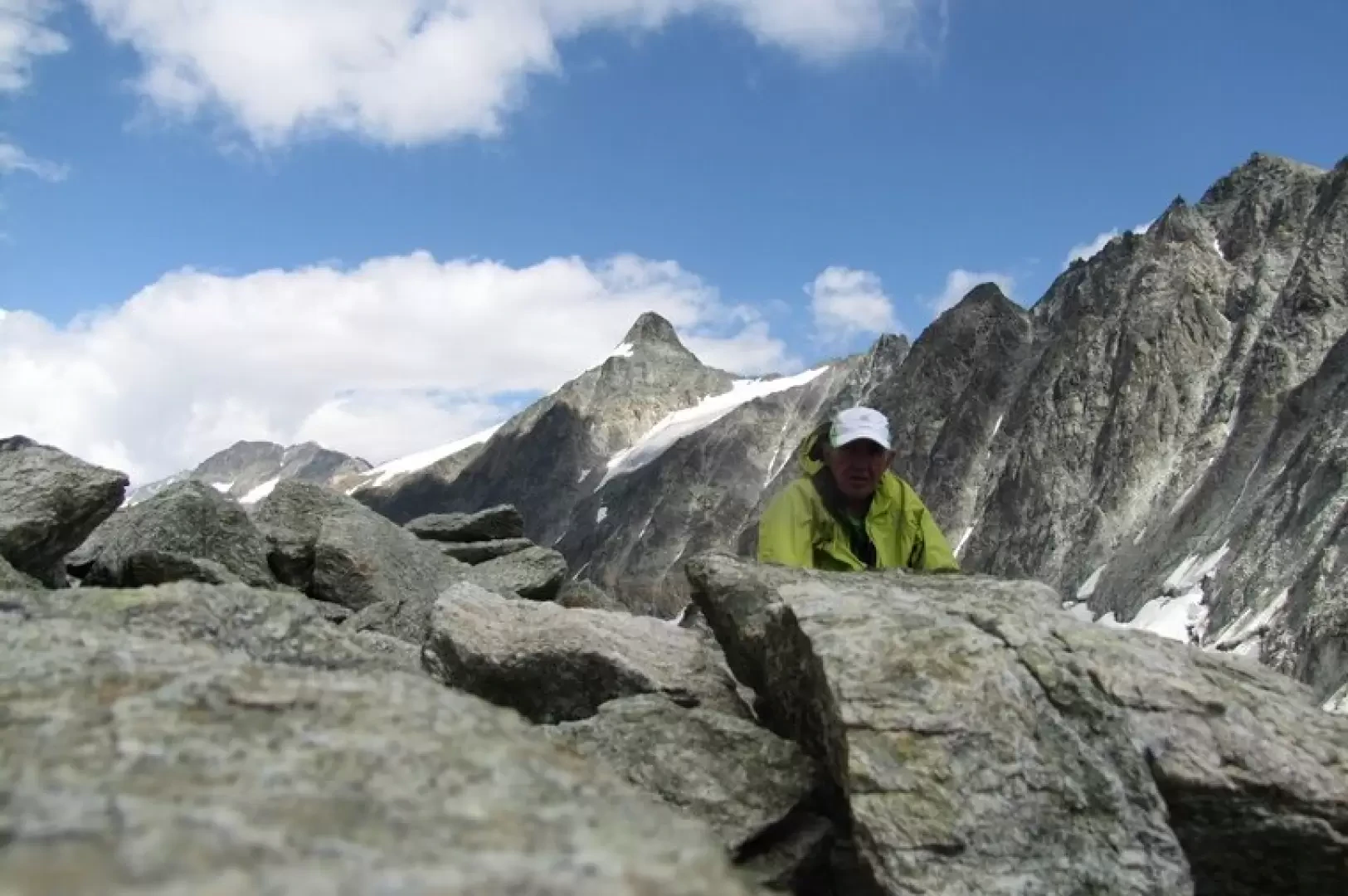
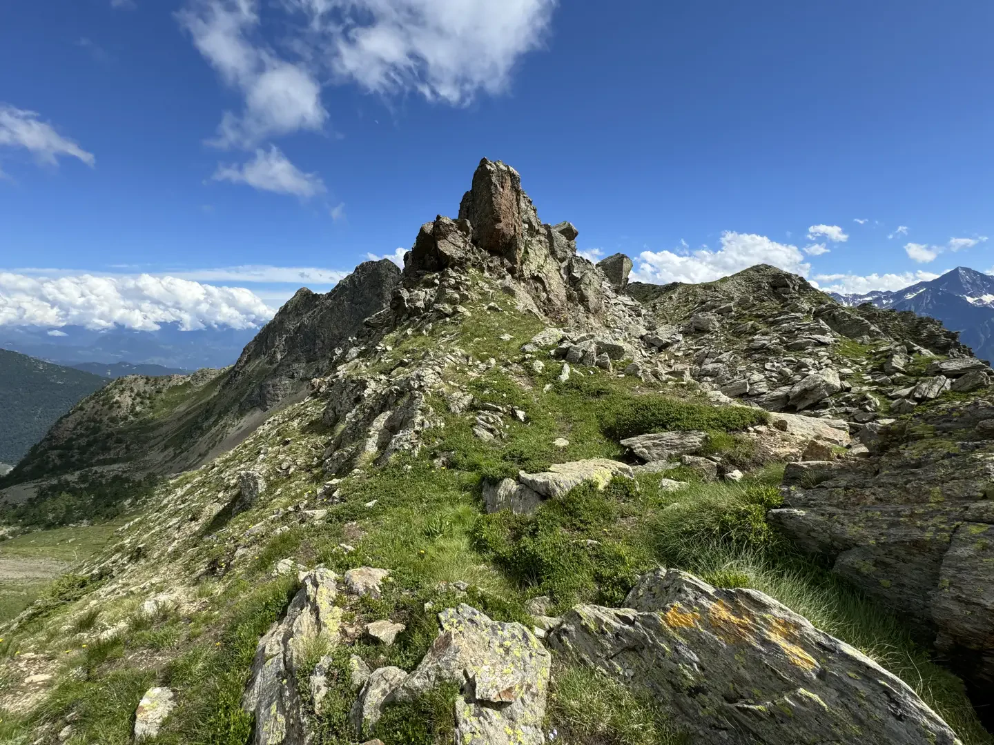
Col Collet, from Lignan
The Col Collet is a little-known pass that connects the Vallon de Saint-Barthélemy with the Comba Dèche. The Col Collet...
T2
12.96 Km
823 m
Edited by:
Massimo Martini
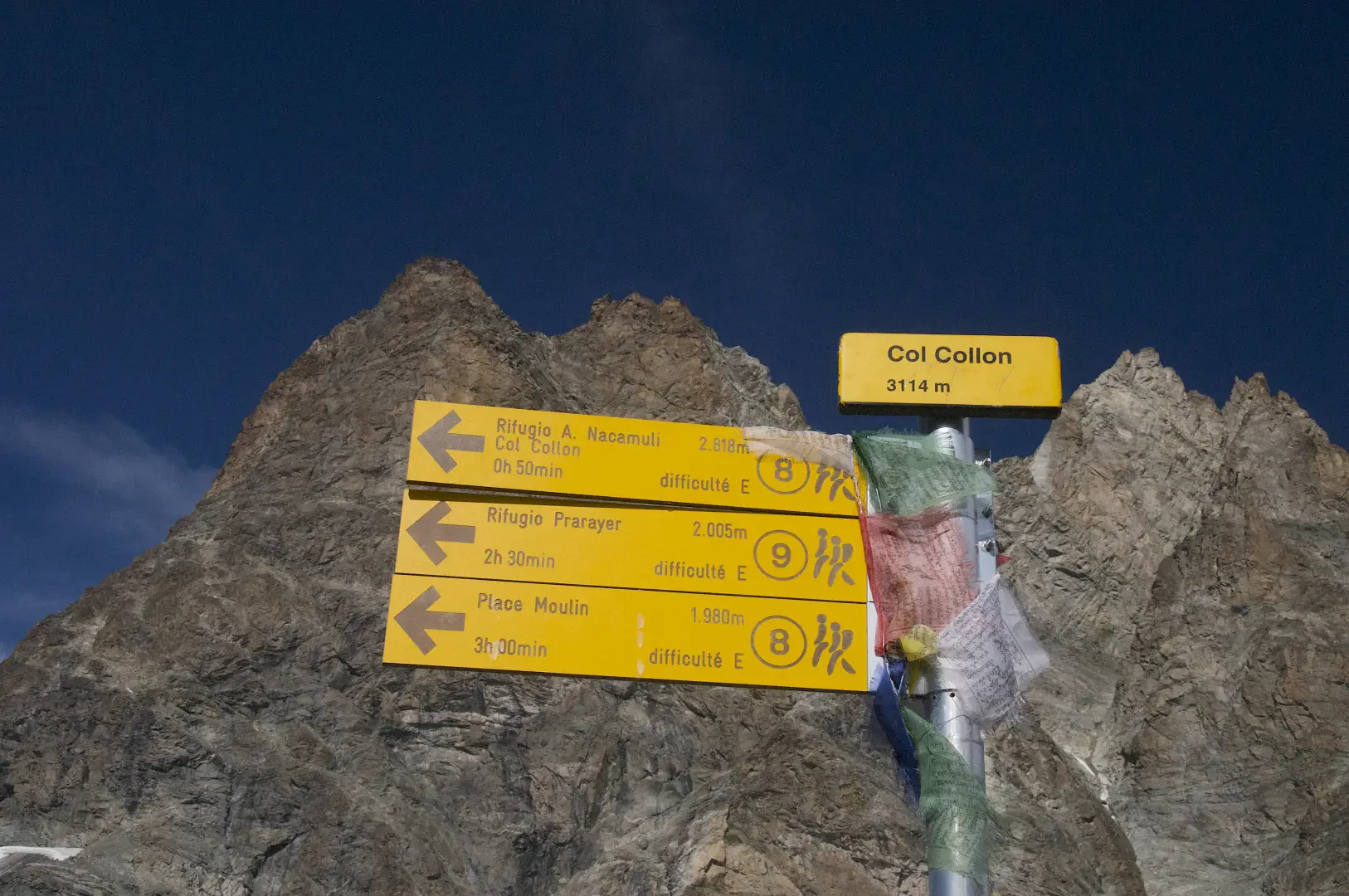
Col Collon, da Place Moulin
Breve escursione per chi giunge dal rifugio ma significativa camminata da chi parte dalla diga di Place Moulin. Le condizioni...
T3
0.00 Km
286 m

Edited by:
Massimo Martini
Col d'Ameran, dal Colle San Carlo
Il Col d'Ameran è un valico che mette in comunicazione il vallone di Arpy con l'adiacente vallata di Lenteney. Può...
T3
13.30 Km
760 m
Edited by:
Massimo Martini
Col d'Arlaz, from Sizan
The itinerary described is a charming and accessible route for everyone, ideal to be explored in spring or autumn to...
T2
3.84 Km
320 m
Edited by:
Massimo Martini
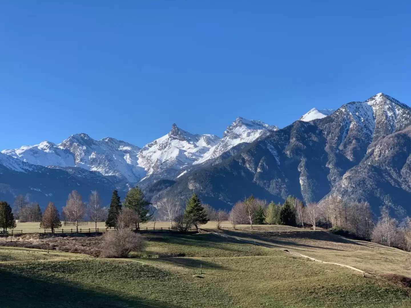
Col d'Arlaz, from regional road 7
Easy walk on the border between the municipalities of Montjovet and Emarèse. The non-excessive length and the relatively small difference...
T1
10.50 Km
338 m


Edited by:
Marcello Rossi
Col d'Olen, from Staffal
The Col d'Olen is located along the Tour du Monte Rosa and connects the Gressoney valley with Valsesia, from the...
T2
0.00 Km
1135 m