Nearby
📍 Location Details
Latitude:
Longitude:
Accuracy:
Updated:
0 km
100 km
Path
km
-
km
m
m
Hike Type
Round trip
Circular
Crossing
Partially circular
Recommended Period
All
Hiking
Snowshoeing
Ski-mountaineering
Mountaineering
Via ferrata
Climbing
Mountain bike
Trekking
Active filters:
Tags: hiking,pass,aosta-valley,1000
Showing 9 results
with active filters
Loading...

Edited by:
Massimo Martini
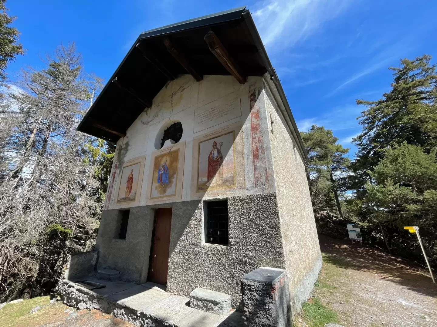
Chapel of Saint-Pantaléon, from Mognod
The hike to the chapel of Saint-Pantaléon winds its way between the houses of Mognod and the open pastures dominating...
T2
5.68 Km
191 m
Edited by:
Massimo Martini
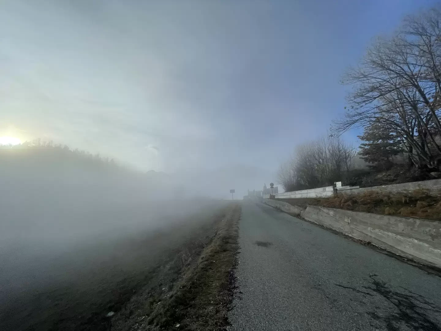
Col d'Arlaz, from Sizan
The itinerary described is a charming and accessible route for everyone, ideal to be explored in spring or autumn to...
T2
3.84 Km
320 m
Edited by:
Massimo Martini
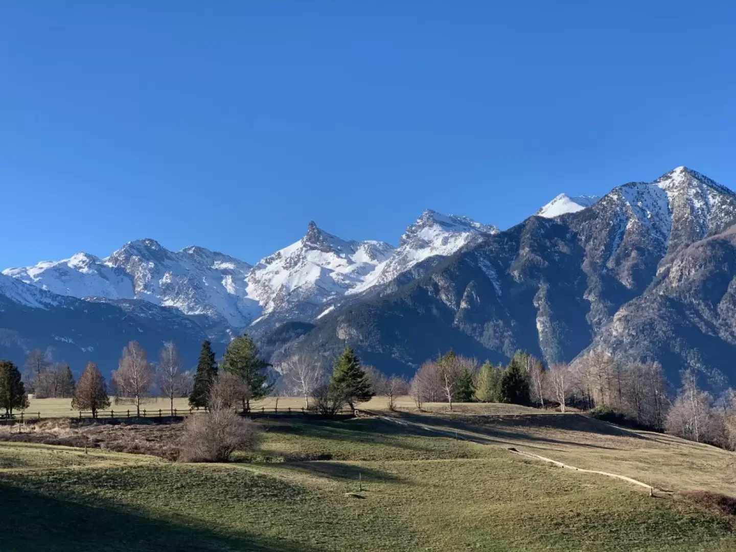
Col d'Arlaz, from regional road 7
Easy walk on the border between the municipalities of Montjovet and Emarèse. The non-excessive length and the relatively small difference...
T1
10.50 Km
338 m
Edited by:
Massimo Martini
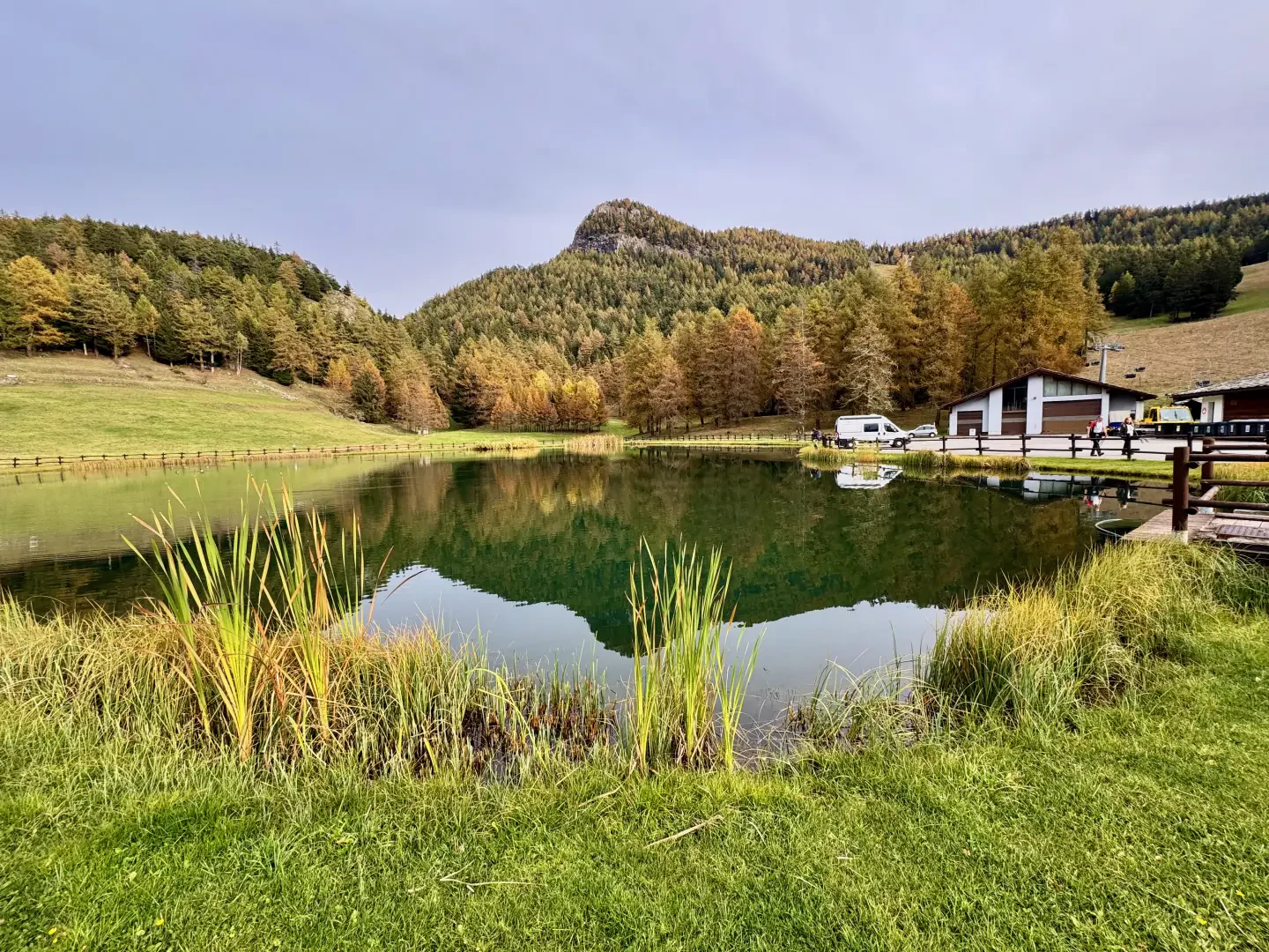
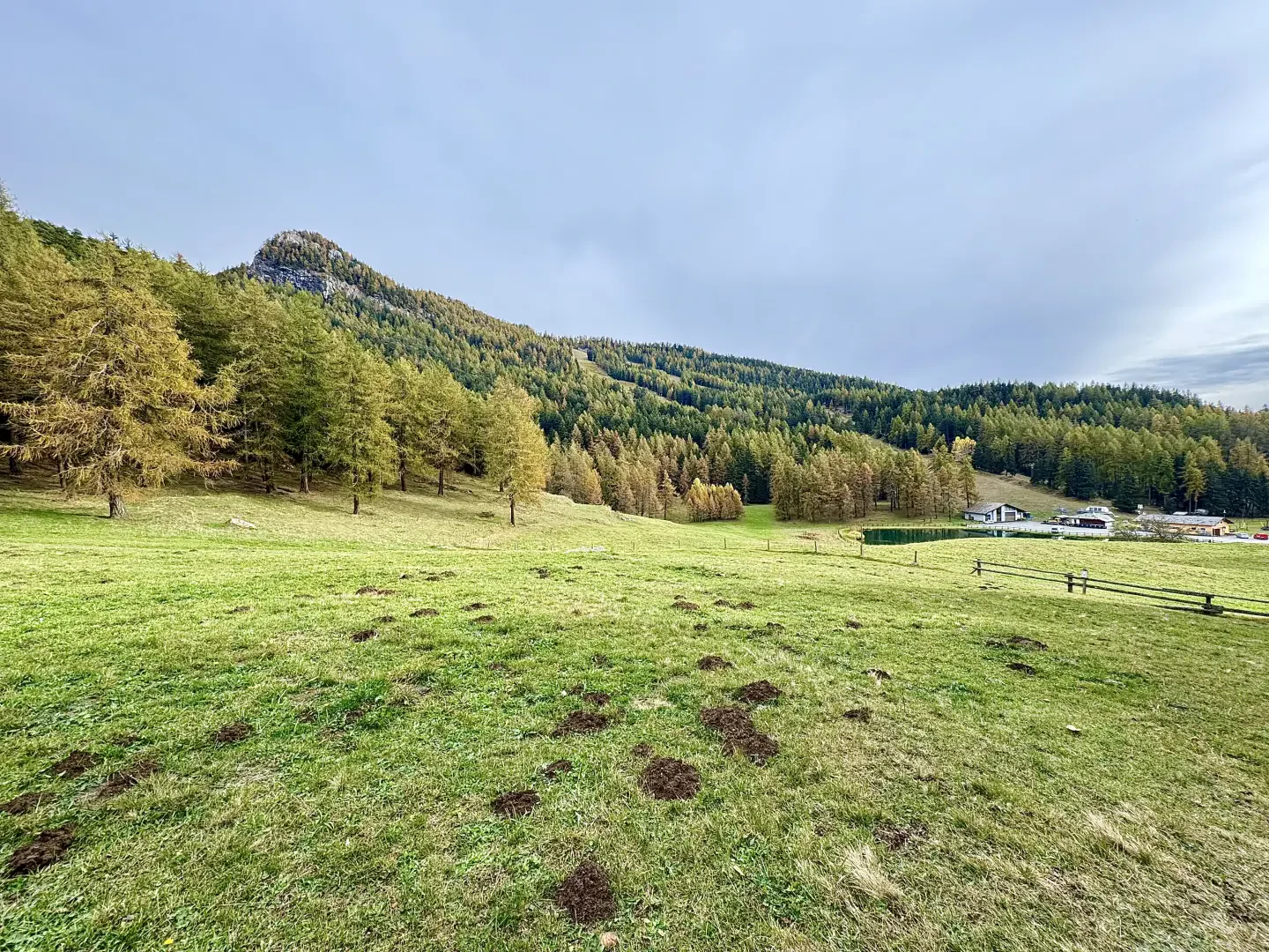
Col de Joux, ring from Grand Rhun
The circular hike from Grand Rhun to Col de Joux, in the municipality of Saint-Vincent, is a fascinating route that...
T2
8.61 Km
319 m
Edited by:
Massimo Martini
Col de Joux, from Piazza Aosta to Saint-Vincent
A classic for the 'sabins' and the many tourists who come to spend a holiday in the spa town every...
T2
13.67 Km
1065 m

Edited by:
Massimo Martini
Col de la Cou, from the Machaby car park
Pleasant itinerary along the military trenches on the ramparts of the Tete de Cou.
T2
10.00 Km
760 m


Edited by:
Ivano Ruffoni
Col Fênetre, from Fey dessus
Easy itinerary in a not-too-frequented area of the Aosta Valley. During the ascent, after the village of Pesse, one can...
T2
6.00 Km
621 m

Edited by:
Massimo Martini
Col Fenêtre, from the Machaby car park
The Col Fenêtre connects the lower Lys valley (Perloz) with the central valley (Arnad). The route proposed here describes the...
T2
15.00 Km
1104 m

Edited by:
Massimo Martini
Col Marcage, from Bellecombe
A pleasant mid-altitude hike on the heights above Chatillon, Saint-Vincent and Montjovet. The destination of the hike is the Col...
T2
7.10 Km
349 m