Nearby
📍 Location Details
Latitude:
Longitude:
Accuracy:
Updated:
0 km
100 km
Path
km
-
km
m
m
Hike Type
Round trip
Circular
Crossing
Partially circular
Recommended Period
All
Hiking
Snowshoeing
Ski-mountaineering
Mountaineering
Via ferrata
Climbing
Mountain bike
Trekking
Active filters:
Tags: hiking,pass,ayas-valley
Showing 6 results
with active filters
Loading...

Edited by:
Alain Martini
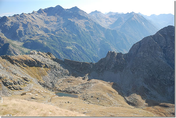
Mouth of Eclou, from the Fenillettaz car park
Walk halfway up the slopes of Mont Bieteron (2763m), climb up the Estoul valley to the lakes of the same...
T2
0.00 Km
913 m

Edited by:
Massimo Martini
Col d'Arlaz, from Sizan
The itinerary described is a charming and accessible route for everyone, ideal to be explored in spring or autumn to...
T2
3.84 Km
320 m

Edited by:
Ivano Ruffoni
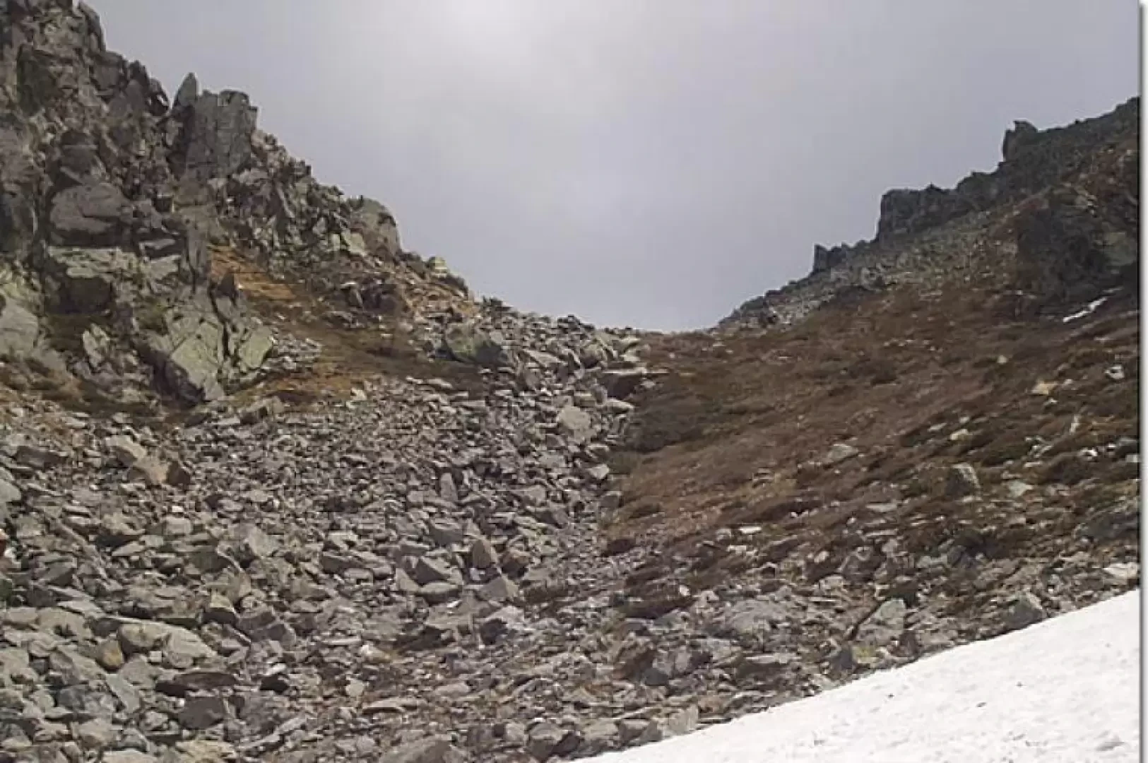
Col de Dondeuil, from Fontaney
Easy itinerary that for a good part, up to the start of the final Col de Dondeuil valley, follows a...
T2
11.00 Km
916 m
Edited by:
Massimo Martini
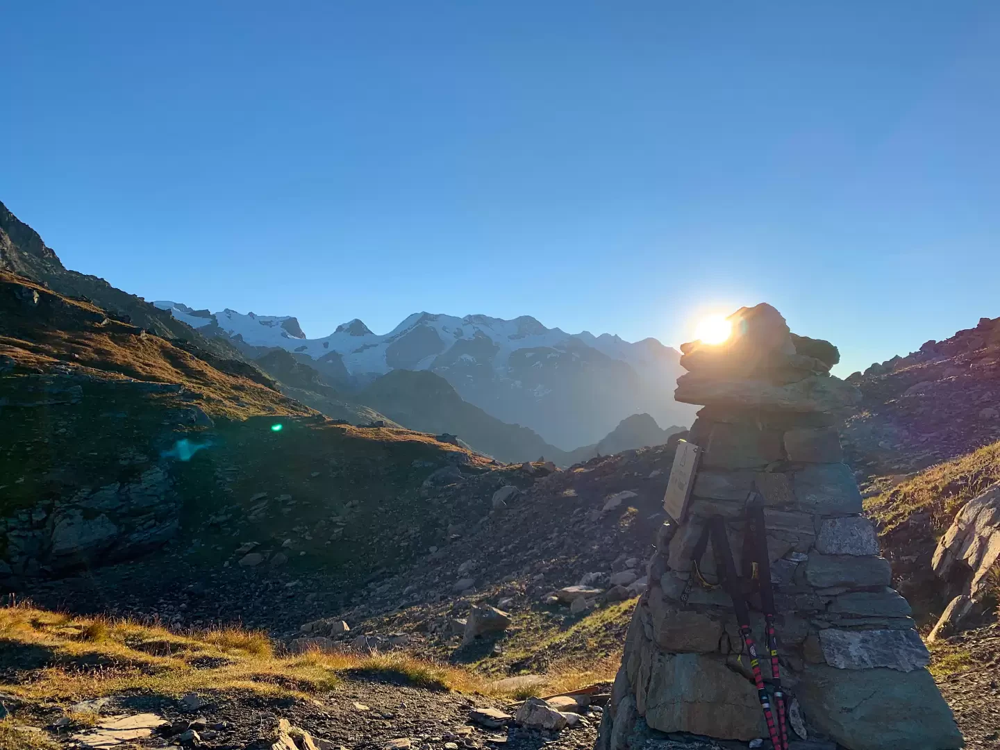
Col de Nannaz, from the car parks at Frachey
A route that climbs up the Vallone di Nannaz in the upper Val d’Ayas, in the municipality of Ayas, reaching...
T2
13.00 Km
0 m

Edited by:
Massimo Martini
With Pinter, from Champoluc
A linear route on the left-hand side of the upper Val d’Ayas, which, starting from Champoluc in the municipality of...
T2
11.90 Km
1219 m
Edited by:
Massimo Martini
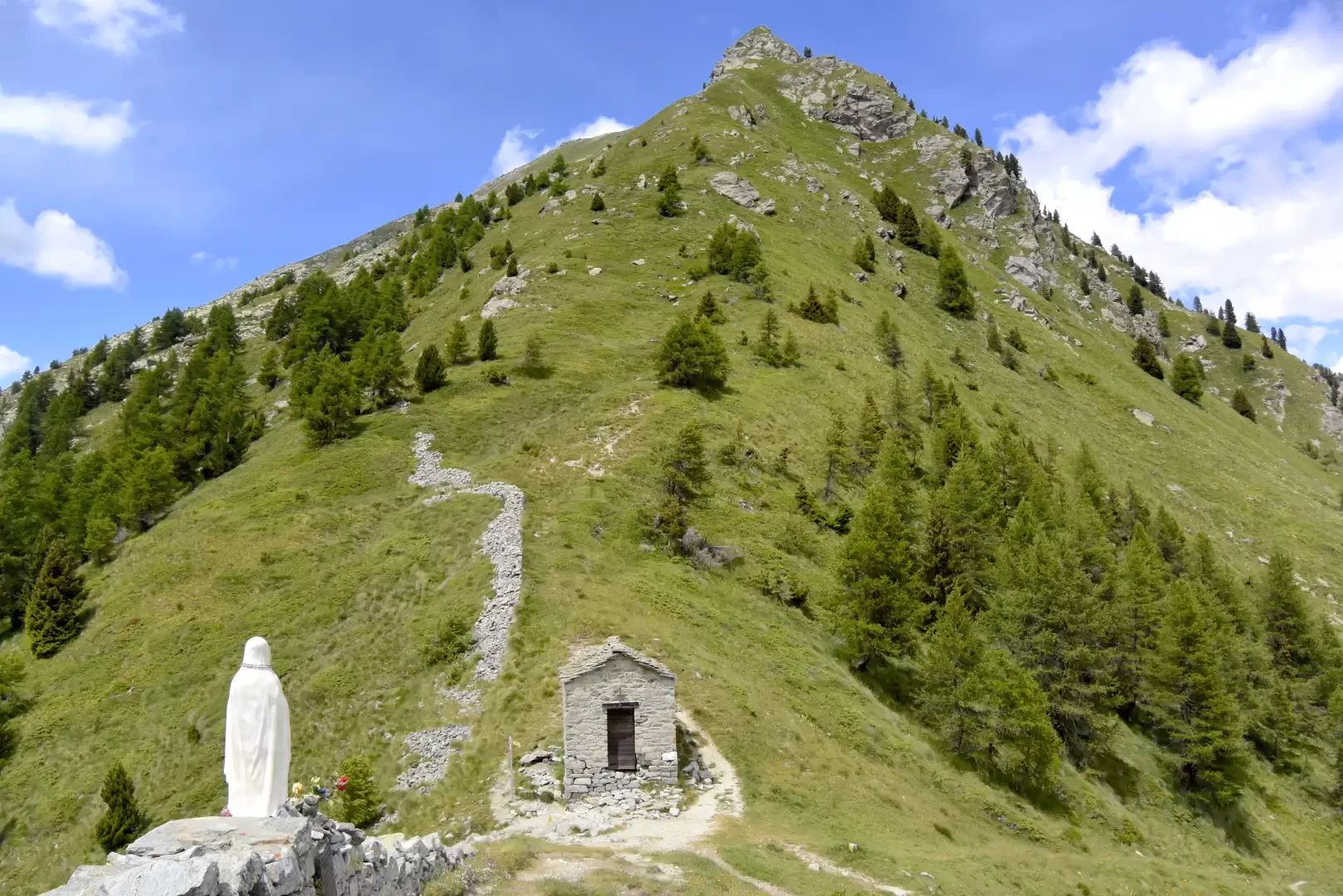
Col Ranzola - Arescoll, from Fenillettaz
Short hike on one of the easiest passes between the Ayas and Lys valleys. The route does not present any...
T2
6.70 Km
300 m