Nearby
📍 Location Details
Latitude:
Longitude:
Accuracy:
Updated:
0 km
100 km
Path
km
-
km
m
m
Hike Type
Round trip
Circular
Crossing
Partially circular
Recommended Period
All
Hiking
Snowshoeing
Ski-mountaineering
Mountaineering
Via ferrata
Climbing
Mountain bike
Trekking
Active filters:
Tags: hiking,pass,champorcher-valley
Showing 8 results
with active filters
Loading...
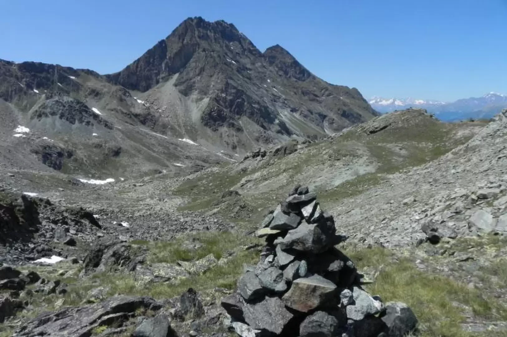

Edited by:
Marcello Rossi
Col de Medzove
This hike takes place almost entirely within the territory of the Mont Avic Natural Park, in unspoilt environments typical of...
T2
0.00 Km
843 m

Edited by:
Ivano Ruffoni
Col du Lac Blanc, from the Lac Muffé car park
The route, which is very popular especially as far as Lake Muffé, allows you to reach the Col du Lac...
T2
0.00 Km
0 m
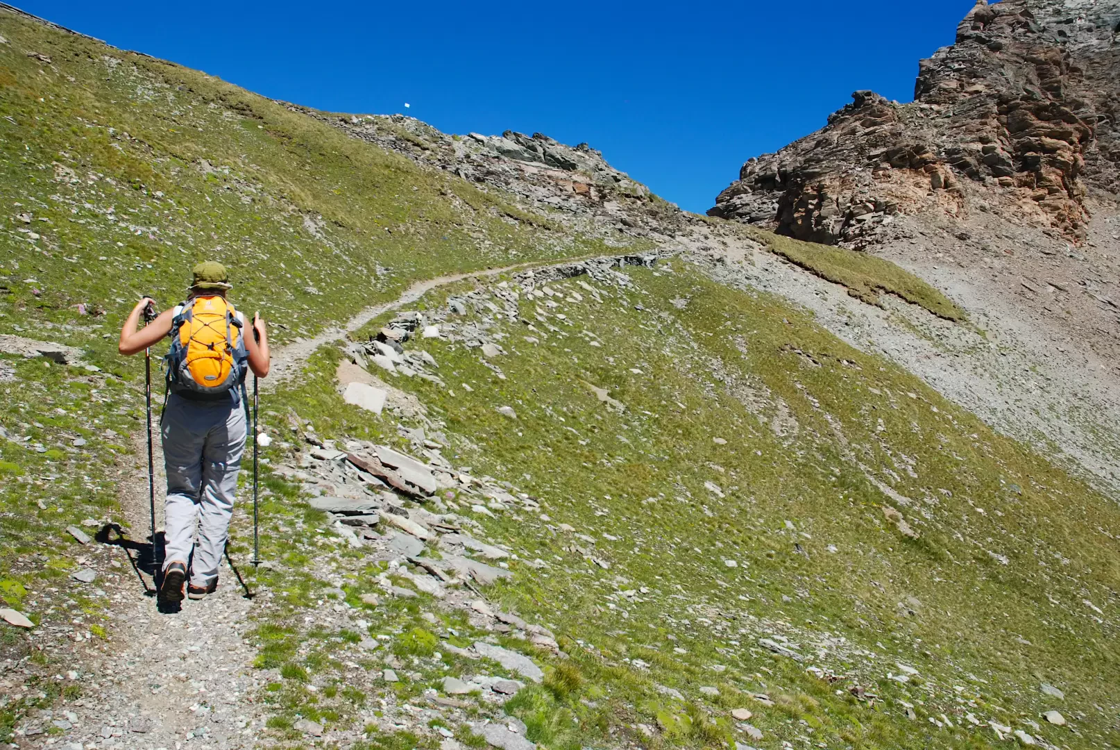

Edited by:
Massimo Martini
Col Fénis, from the Dondena car park
The Col Fénis separates the wide Champorcher valley from the Vallon de Clavalité. It is a pass that is not...
T2
14.10 Km
746 m
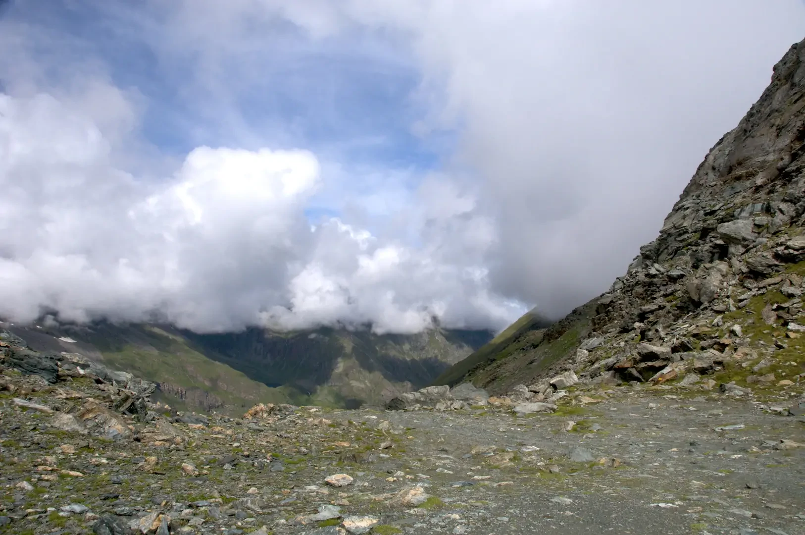
Edited by:
Massimo Martini
Col Fussy, from the Dondena car park
La Valle di Champorcher, con i suoi paesaggi selvaggi e la lunga tradizione escursionistica, offre un itinerario affascinante, spesso abbinato...
T2
13.17 Km
806 m
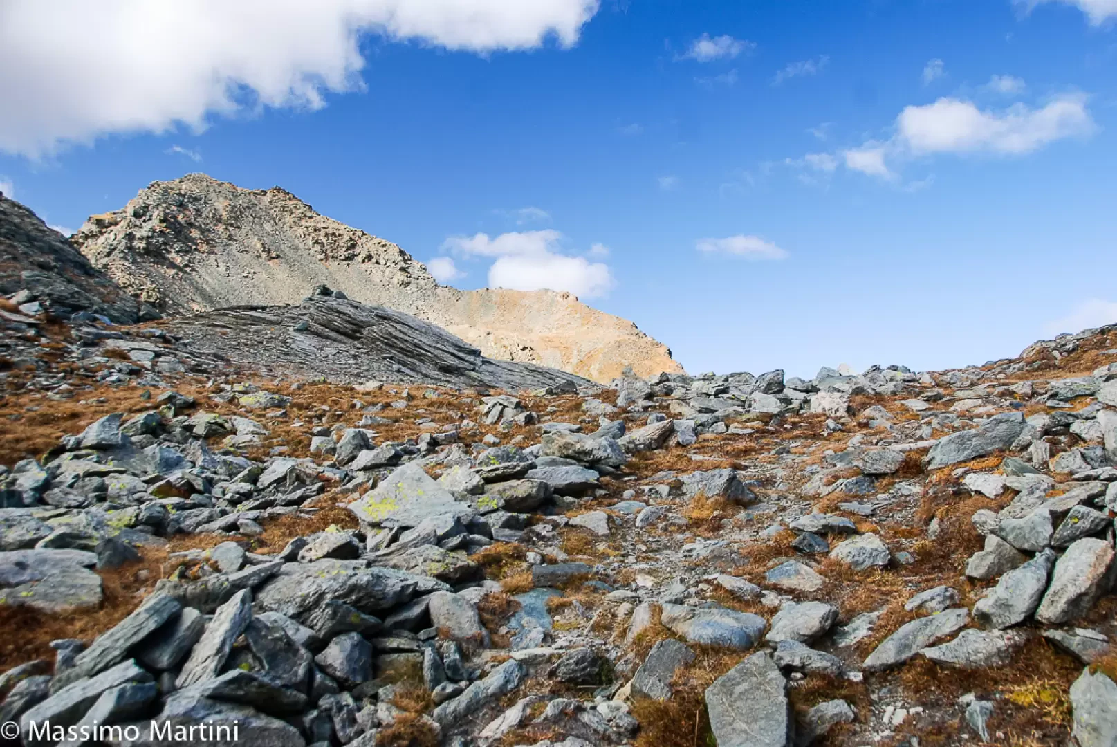

Edited by:
Maurizio Bergamini
Col Laris, from the Dondena car park
Alternative route in the upper Champorcher valley, suitable for those who already know the area around Lake Miserin and want...
T2
12.07 Km
631 m

Edited by:
Massimo Martini
Col Moutsaillon, from Dondena
The hike to Col Moutsaillon (2853m) is an itinerary that crosses the picturesque Champorcher Valley, a fascinating corner of the...
T2
11.59 Km
741 m
Edited by:
Massimo Martini
Col Santanel, from Outrelève
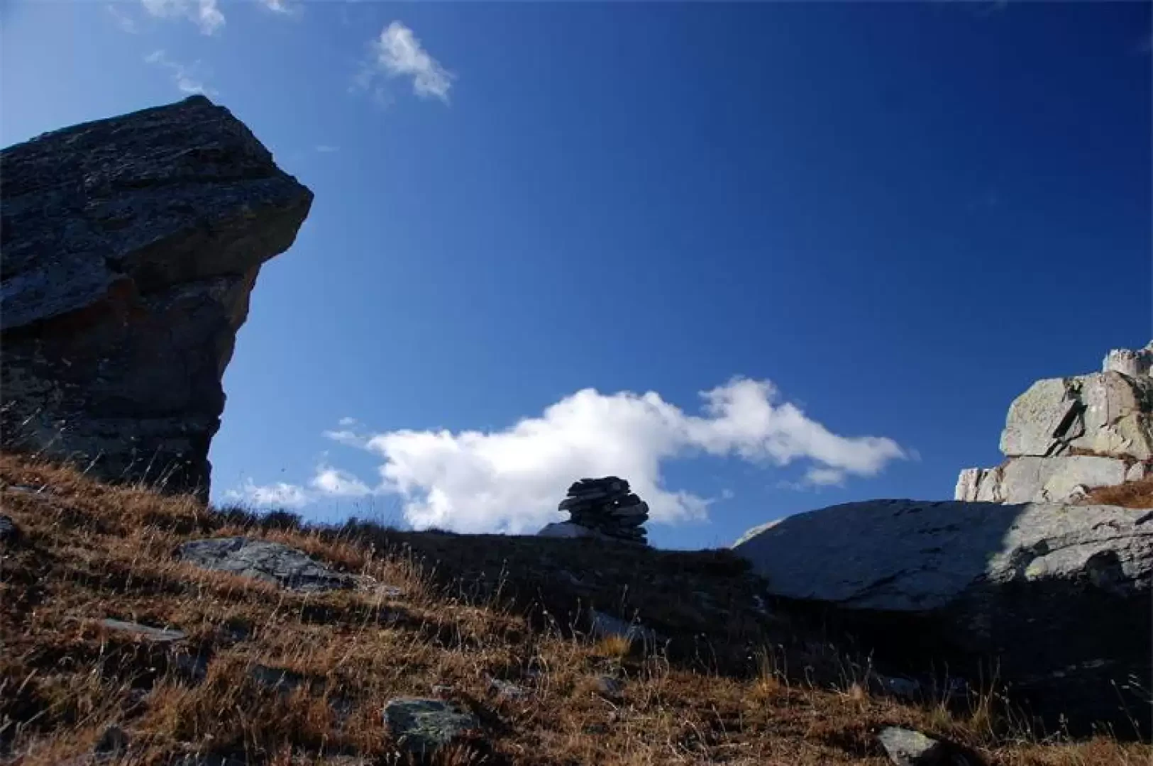
The Col de Santanel is a minor pass linking Champorcher, through the Valle della Legna, and Val Soana. A very...
T2
13.00 Km
1240 m

Edited by:
Ivano Ruffoni
Cima Piana Pass, from the Lac Muffé car park
The itinerary, which is very popular especially as far as Lake Muffé, allows you to reach Col de la Croix,...
T2
6.48 Km
694 m