Nearby
📍 Location Details
Latitude:
Longitude:
Accuracy:
Updated:
0 km
100 km
Path
km
-
km
m
m
Hike Type
Round trip
Circular
Crossing
Partially circular
Recommended Period
All
Hiking
Snowshoeing
Ski-mountaineering
Mountaineering
Via ferrata
Climbing
Mountain bike
Trekking
Active filters:
Tags: hiking,pass,valsavarenche-valley
Showing 8 results
with active filters
Loading...



Edited by:
Massimo Martini
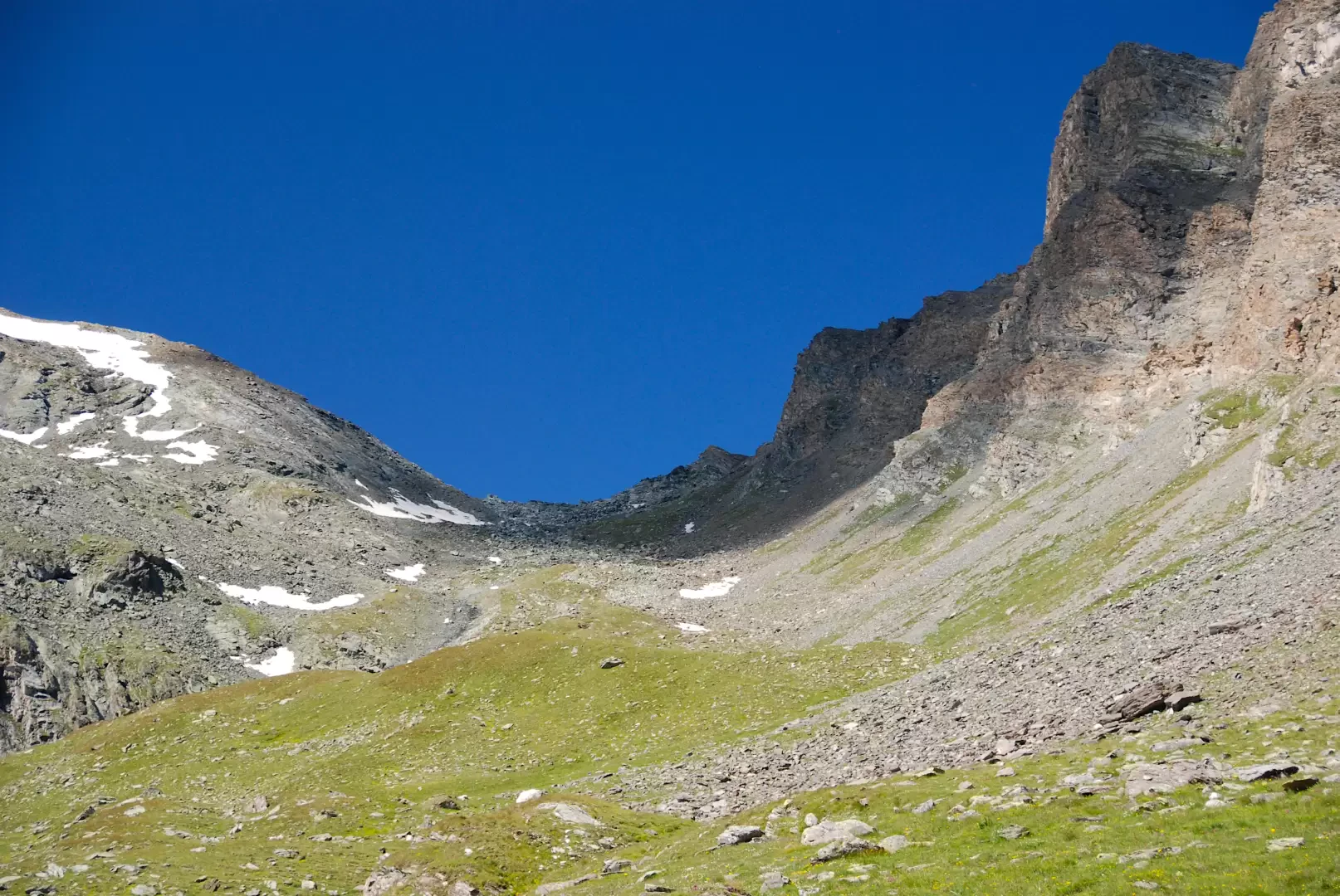
Col Entrelor, from Eaux Rousses
The Col Entrelor is an Alpine pass in the Graian Alps, located in Valle d'Aosta, in the municipality of Valsavarenche....
T2
20.36 Km
1333 m


Edited by:
Massimo Martini
Col Manteau, da Eau Rousse
Il Col Manteau è un passo montano situato nella parte bassa della Crête Chandelly, che unisce l'omonima punta e la...
T2
18.87 Km
1148 m


Edited by:
Ivano Ruffoni
Grand Collet
Classico e molto frequentato itinerario del Parco Nazionale del Gran Paradiso fra marmotte, stambecchi e camosci. L'itinerario si inoltra inizialmente...
T2
0.00 Km
872 m
Edited by:
Massimo Martini
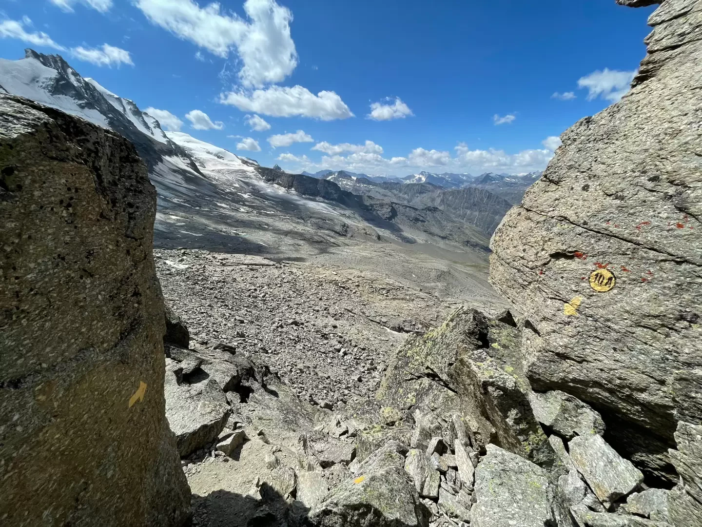
Passage du Grand Neyron, from Pravieux
A linear route that climbs from the valley floor of the Valsavarenche up the orographic right-hand slope to the Passage...
T3
16.04 Km
0 m
Edited by:
Massimo Martini
Passage du Grand Neyron, from the Eaux Rousses car park
A linear route in Valsavarenche which, from Eaux Rousses, climbs up the Levionaz valley to the Passage du Grand Neyron,...
T4
22.87 Km
1727 m