Nearby
📍 Location Details
Latitude:
Longitude:
Accuracy:
Updated:
0 km
100 km
Path
km
-
km
m
m
Hike Type
Round trip
Circular
Crossing
Partially circular
Recommended Period
All
Hiking
Snowshoeing
Ski-mountaineering
Mountaineering
Via ferrata
Climbing
Mountain bike
Trekking
Active filters:
Tags: hiking,ru-hamlet
Showing 8 results
with active filters
Loading...

Edited by:
Ivano Ruffoni
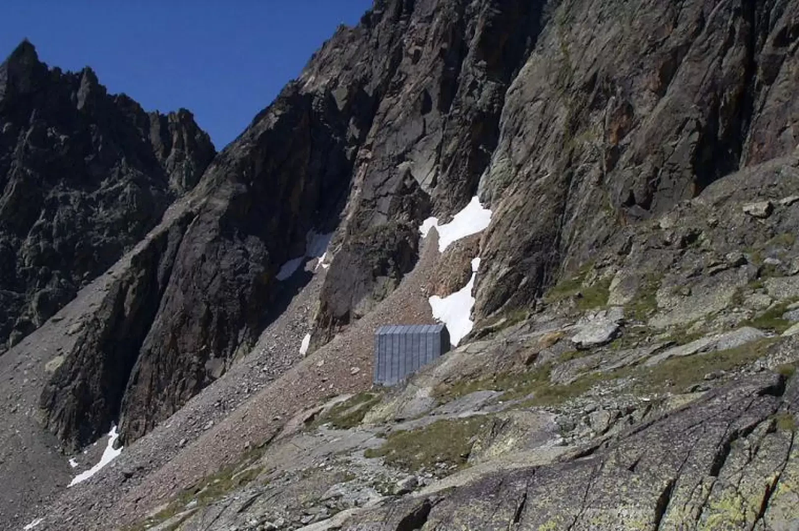
Spataro Bivouac, from Ru
One of the most popular itineraries in the Valpelline. During the ascent, there is always a view of the Aroletta...
T2
0.00 Km
904 m

Edited by:
Benedetto Lorusso
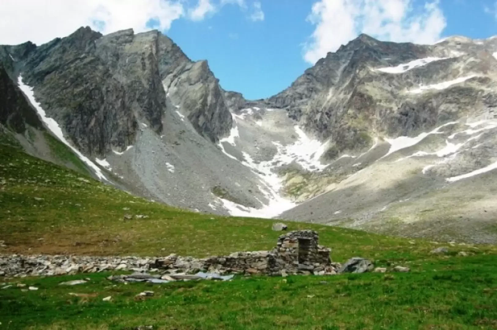
Chardoney, from Ruz
Chardonney means 'meadow where the thistle (chardon, tzardon) grows', sometimes spelled 'Chardoney' (e.g. Buscaini, Guida Alpi Pennine). There are places...
T2
9.00 Km
846 m
Edited by:
Benedetto Lorusso
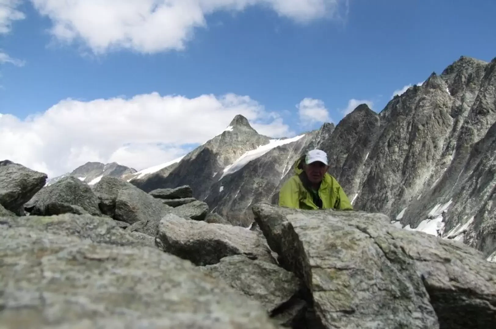
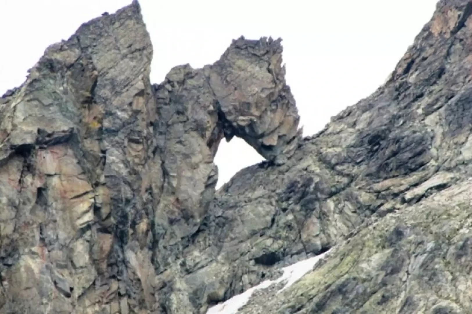
Col de l'Aroletta
Aperto tra l’Aroletta inferiore e la Vierge, mette in collegamento la comba di Faudery ad Ovest con quella di Crete...
T3
0.00 Km
1170 m

Edited by:
Benedetto Lorusso
Col de Vertsan, da Ruz
Il colle mette in collegamento la bella comba di Vertsan con quella della Tsa ed eventualmente con quella di Chamen,...
T3
10.70 Km
1305 m
Edited by:
Benedetto Lorusso
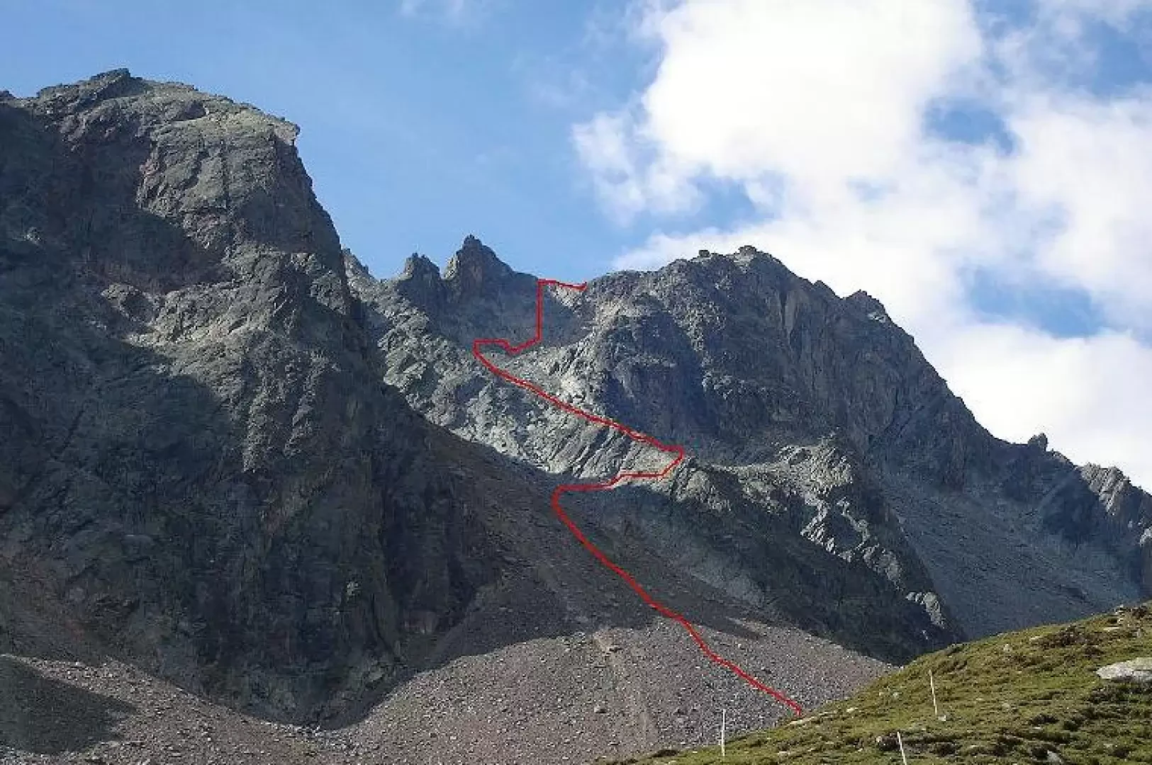
Pas du Chamois, from Ruz
Pas du Chamois from the comb of Crête Sèche. The altitudes given in the volume Alpi Pennine I of the...
T3
0.00 Km
1338 m

Edited by:
Massimo Martini
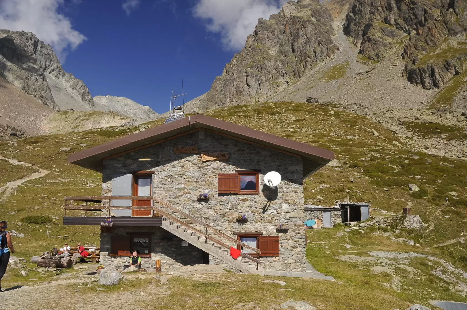
Crête Sèche refuge, from Ru
This hiking route leads to the Crête Sèche hut, located at an altitude of 2,389 metres, through an impressive alpine...
T2
7.91 Km
650 m
Edited by:
Benedetto Lorusso
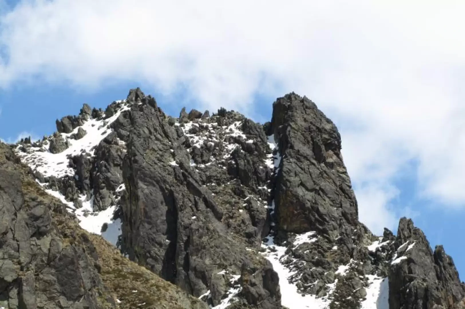
Tour du Freyty, from Ru
The tower is the first toe of the Aroletta chain, the hill is the first from the south that allows...
T3
0.00 Km
792 m