Nearby
📍 Location Details
Latitude:
Longitude:
Accuracy:
Updated:
0 km
100 km
Path
km
-
km
m
m
Hike Type
Round trip
Circular
Crossing
Partially circular
Recommended Period
All
Hiking
Snowshoeing
Ski-mountaineering
Mountaineering
Via ferrata
Climbing
Mountain bike
Trekking
Active filters:
Tags: hiking,saint-rhemy-en-bosses
Showing 14 results
with active filters
Loading...

Edited by:
Benedetto Lorusso
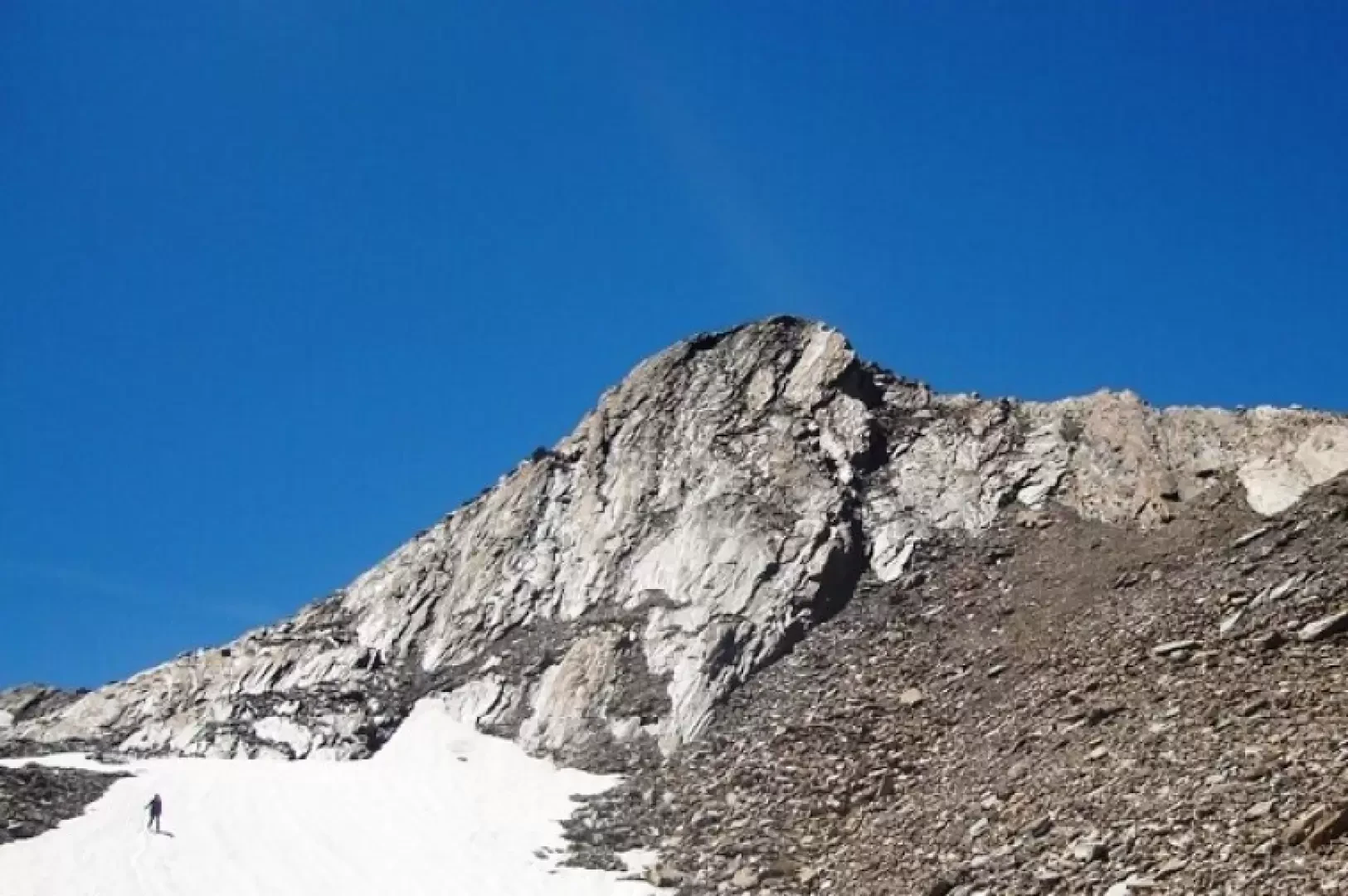
Aiguilles de Leisasse
Bella cima in ambiente selvaggio, nota anche come Aiguille de Lesache o des Sasses, frequentata anche d'inverno. A metà salita,...
T4
3.66 Km
914 m

Edited by:
Massimo Martini
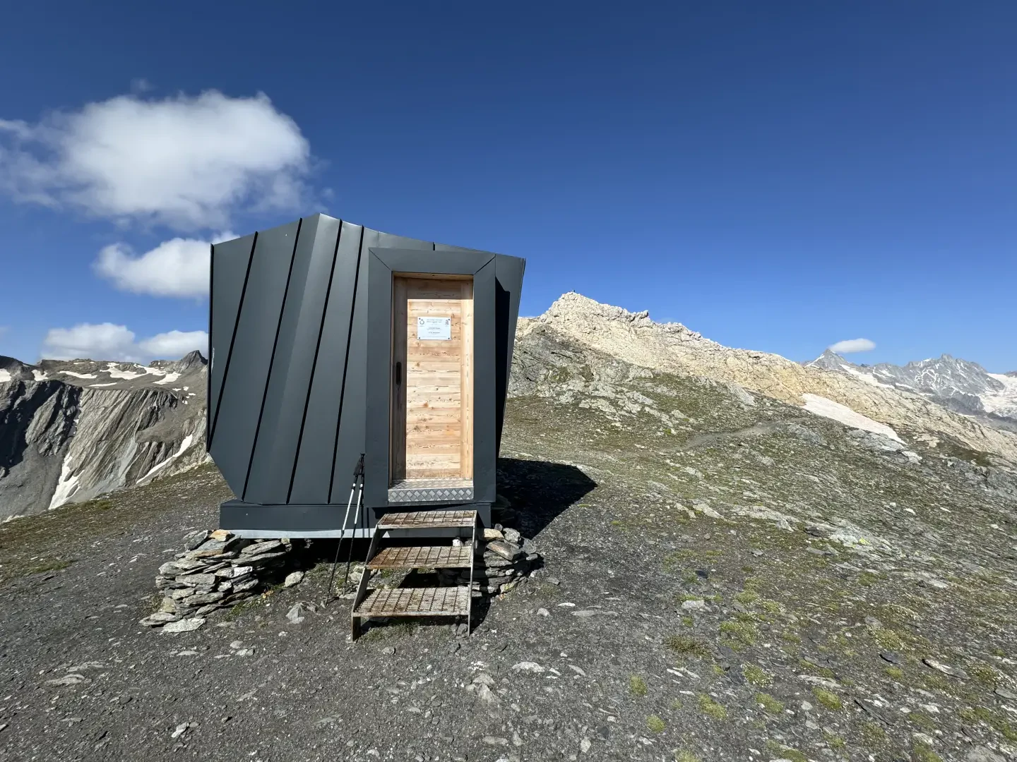
Canavari-Letey bivouac, from Baou
The Canavari-Letey bivouac was named in memory of Alfredo Canavari, Assistant Chief Coordinator of the State Police, and Alessandro Letey,...
T2
4.30 Km
470 m
Edited by:
Massimo Martini
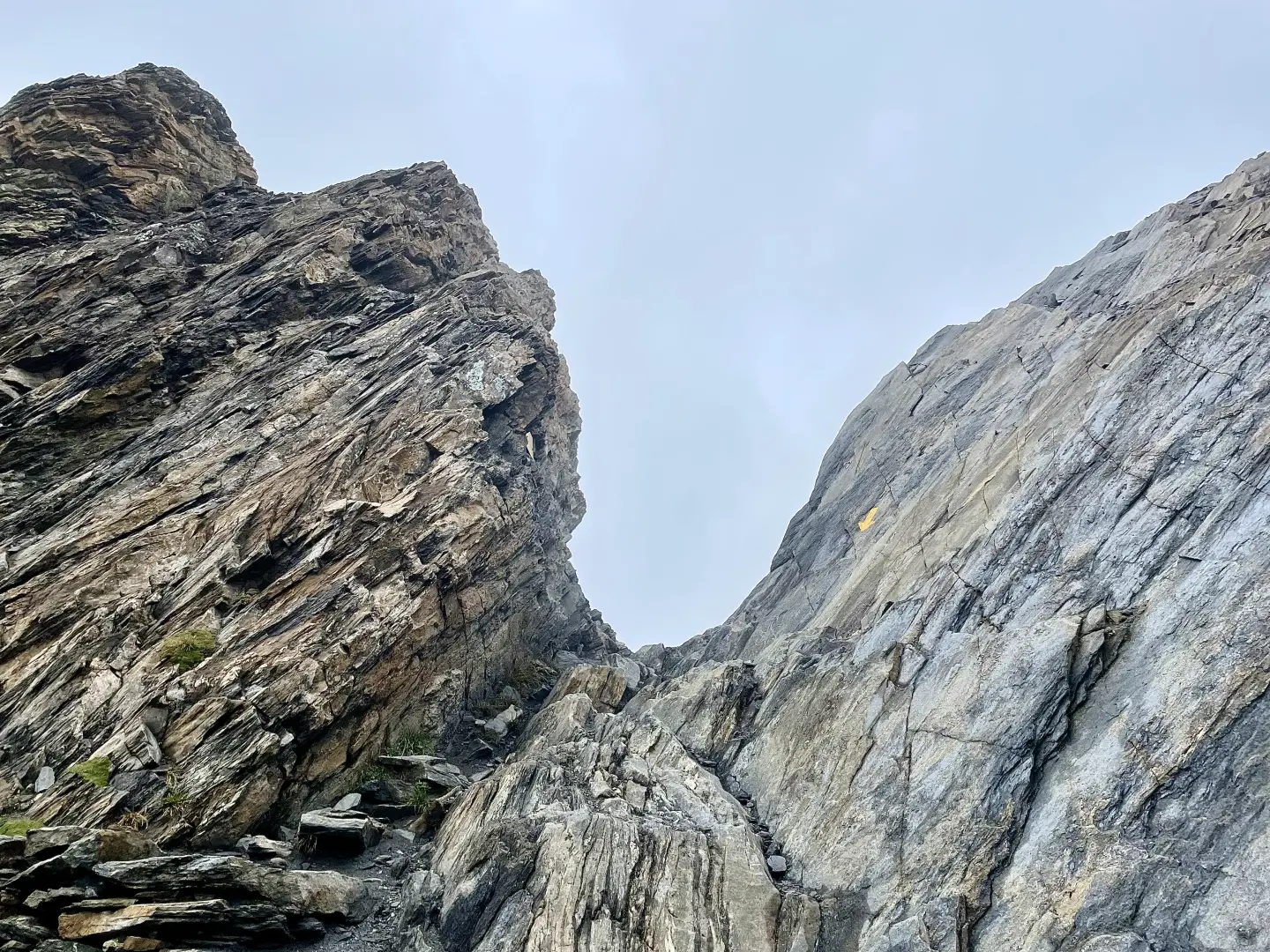
Col de Malatra, from the Crévacol car park
The route follows the entire valley, passing through a series of traditional mountain pastures — Devies, Merdeux desot, Côtes, Moindaz,...
T3
16.79 Km
1310 m

Edited by:
Giancarlo Beretta
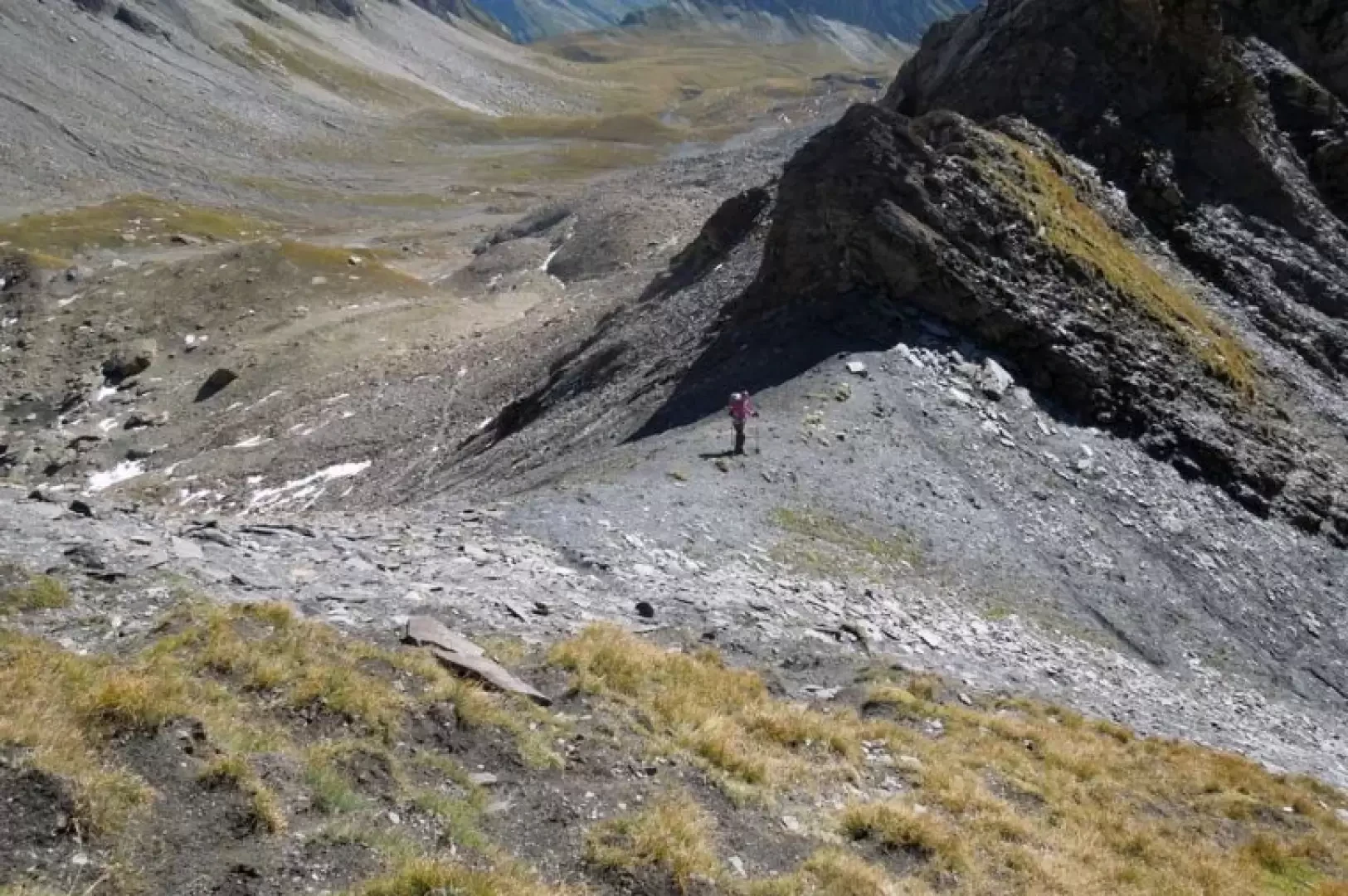
Col des Ceingles
The little Col des Ceingles is located between the Momt Petit Golliat and the Aiguille des Ceingles and separates the...
T2
10.00 Km
801 m

Edited by:
Marcello Rossi
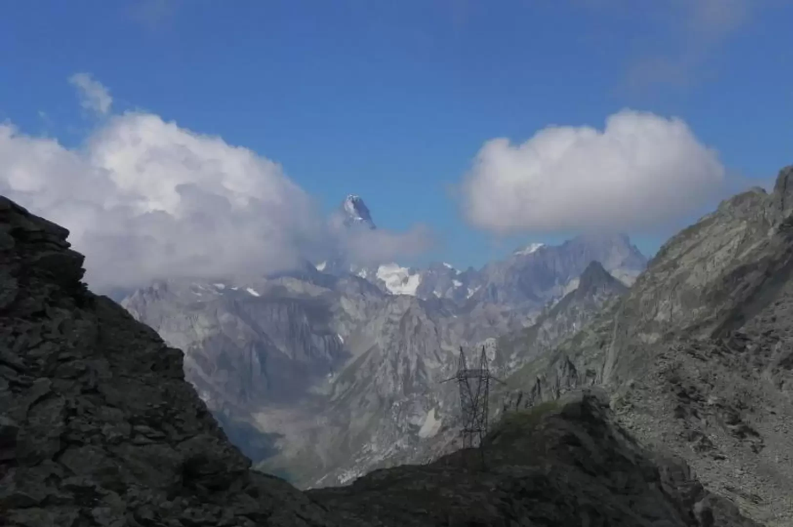
Eastern Col de Barasson
The pass is located on the watershed between the Italian and Swiss Barasson combas, but does not allow a connection...
T2
0.00 Km
1050 m
Edited by:
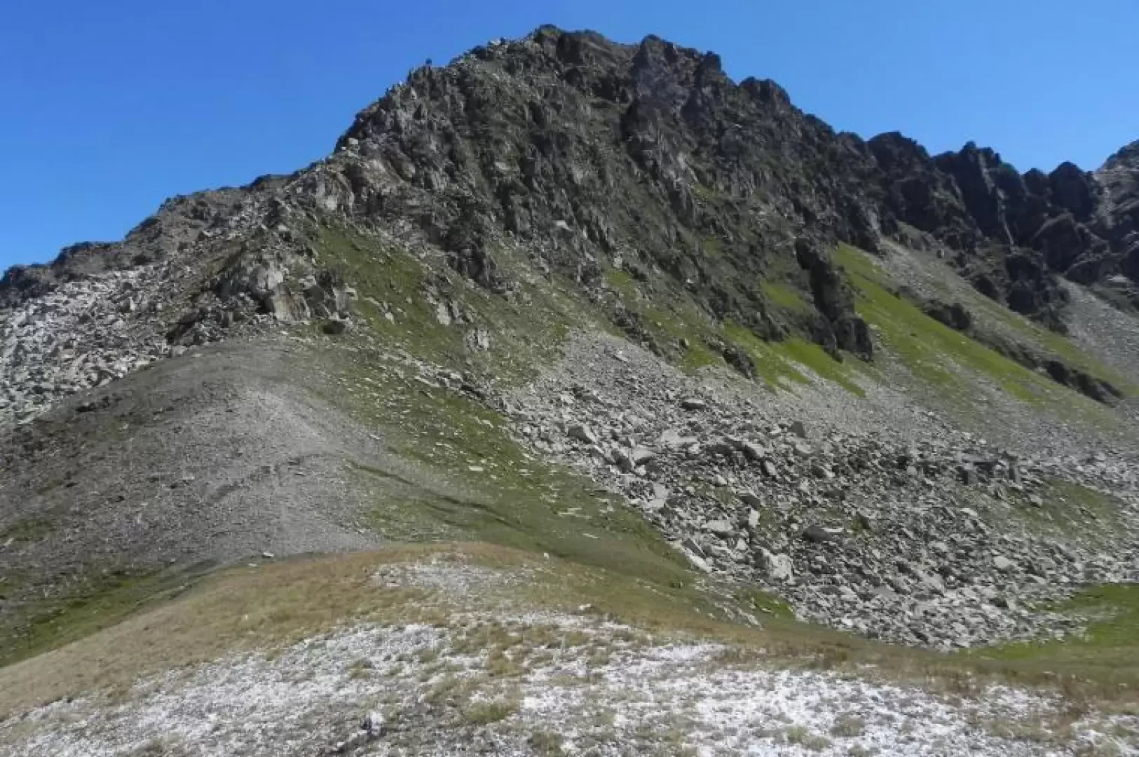
Marcello Rossi
Colle Serena, from the Crevacol car park
Beautiful and scenic hike along a well-marked path with only a small section before the pass that presents slight difficulties...
T2
10.00 Km
884 m
Edited by:
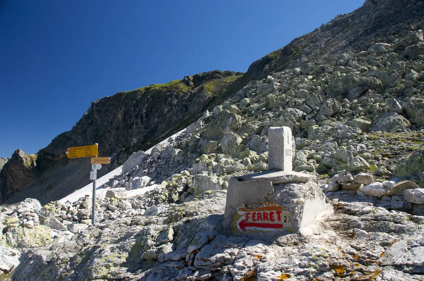
Massimo Martini
Fenêtre de Ferret, from Baou
The hike to the Fenêtre de Ferret is an itinerary of medium difficulty, ideal for those who enjoy walking among...
T2
2.72 Km
325 m

Edited by:
Marcello Rossi
Lacs de Fenètre, from Baou
Piacevole escursione che porta a tre laghi in territorio svizzero che si trovano su un balcone panoramico d’eccellenza sul massiccio...
T2
0.00 Km
0 m
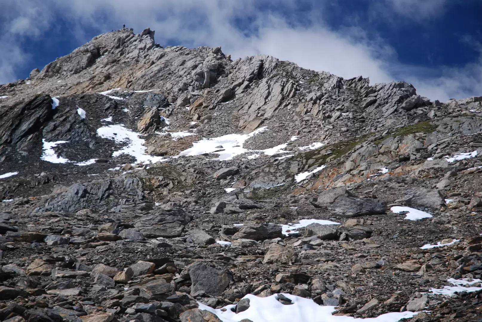
Edited by:
Massimo Martini
Mont Fourchon, from Baou
Short walk in the wilderness on footpaths: the arrival at the summit amply repays the effort with its exceptional views...
T3
4.00 Km
546 m

Edited by:
Benedetto Lorusso
Pain de Sucre, from Baou
Short and fun climb to combine with the more scenic Mont Fourchon. An elegant mountain when viewed from the main...
T4
5.26 Km
625 m

Edited by:
Maria Grazia Schiapparelli
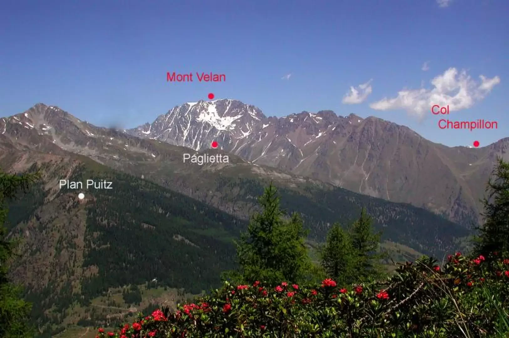
Plan Puitz, from Saint-Rhémy
A route offering stunning views, not too strenuous, suitable for snowshoes and mountain bikes – and, if you wish, a...
T2
6.00 Km
511 m
