Nearby
📍 Location Details
Latitude:
Longitude:
Accuracy:
Updated:
0 km
100 km
Path
km
-
km
m
m
Hike Type
Round trip
Circular
Crossing
Partially circular
Recommended Period
All
Hiking
Snowshoeing
Ski-mountaineering
Mountaineering
Via ferrata
Climbing
Mountain bike
Trekking
Active filters:
Tags: hiking,sarre
Showing 7 results
with active filters
Loading...


Edited by:
Massimo Martini
Becca France, da Bellun
Questa escursione propone un percorso circolare con l'arrivo sulla Becca France: una montagna non difficile e al contempo estremamente affascinante....
T2
0.00 Km
929 m

Edited by:
Massimo Martini
Mont Gélé, from Ruz
Account of the ascent of Mont Gelé (3518 m) by Andrea Motta on 14 August 2005.
T2
16.35 Km
1349 m

Edited by:
Massimo Martini
Lago Fallère, da Thouraz dessus
Raggiungere il Lago Fallère è semplice e relativamente poco faticoso. Una bella passeggiata alla scoperta di una zona ricca di...
T2
0.00 Km
765 m
Edited by:
Massimo Martini
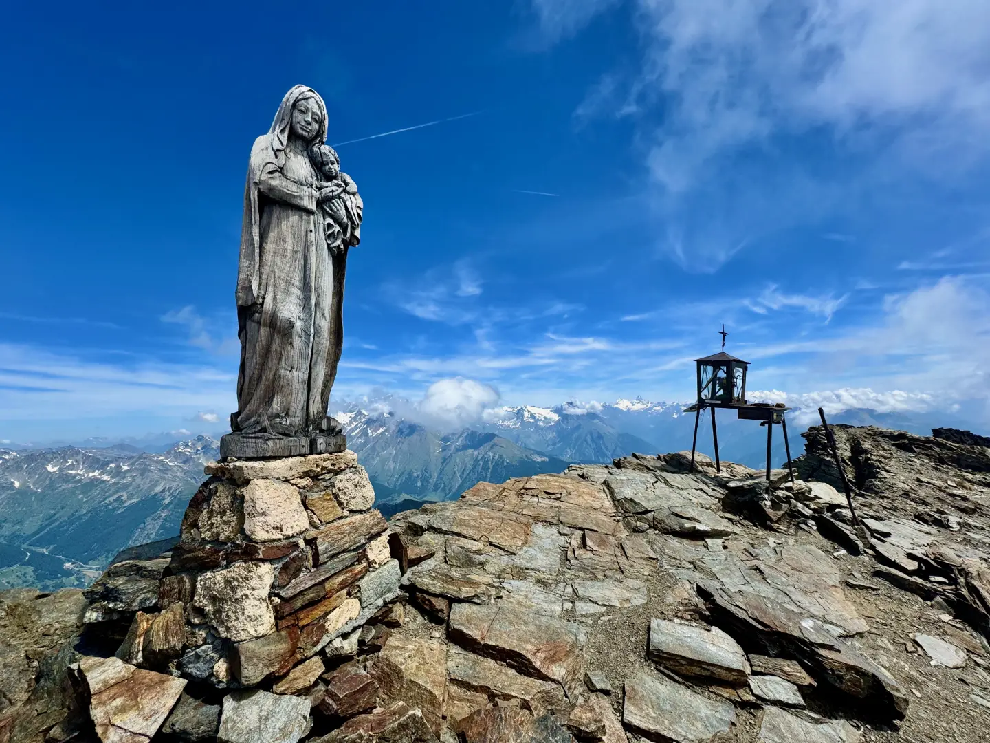
Mont Fallère, from Thouraz dessus
Out and back route reaching the isolated summit of Mont Fallère (3,061m), in the Grande Rochère-Monte Fallère group of the...
T3
17.12 Km
1419 m

Edited by:
Massimo Martini
Mont Fallère, da Vétan
An out-and-back route reaching the summit of Mont Fallère (3,061m), starting from Vétan Villette in the municipality of Sarre, on...
T3
0.00 Km
1321 m

Edited by:
Massimo Martini
Pointe Chaligne, from Thouraz dessus
Anello escursionistico che percorre la dorsale sud della Punta Chaligne, una delle cime più frequentate della conca di Aosta per...
T2
7.76 Km
1002 m


Edited by:
Maria Grazia Schiapparelli
Punta di Metz, da Thouraz dessus
Questo villaggio di Thouraz fu costruito dopo che una enorme frana staccatasi dalla Becca France, e le cui tracce sono...
T2
0.00 Km
900 m