Nearby
📍 Location Details
Latitude:
Longitude:
Accuracy:
Updated:
0 km
100 km
Path
km
-
km
m
m
Hike Type
Round trip
Circular
Crossing
Partially circular
Recommended Period
All
Hiking
Snowshoeing
Ski-mountaineering
Mountaineering
Via ferrata
Climbing
Mountain bike
Trekking
Active filters:
Tags: hiking,summits,2000,average-aosta-valley
Showing 12 results
with active filters
Loading...


Edited by:
Massimo Martini
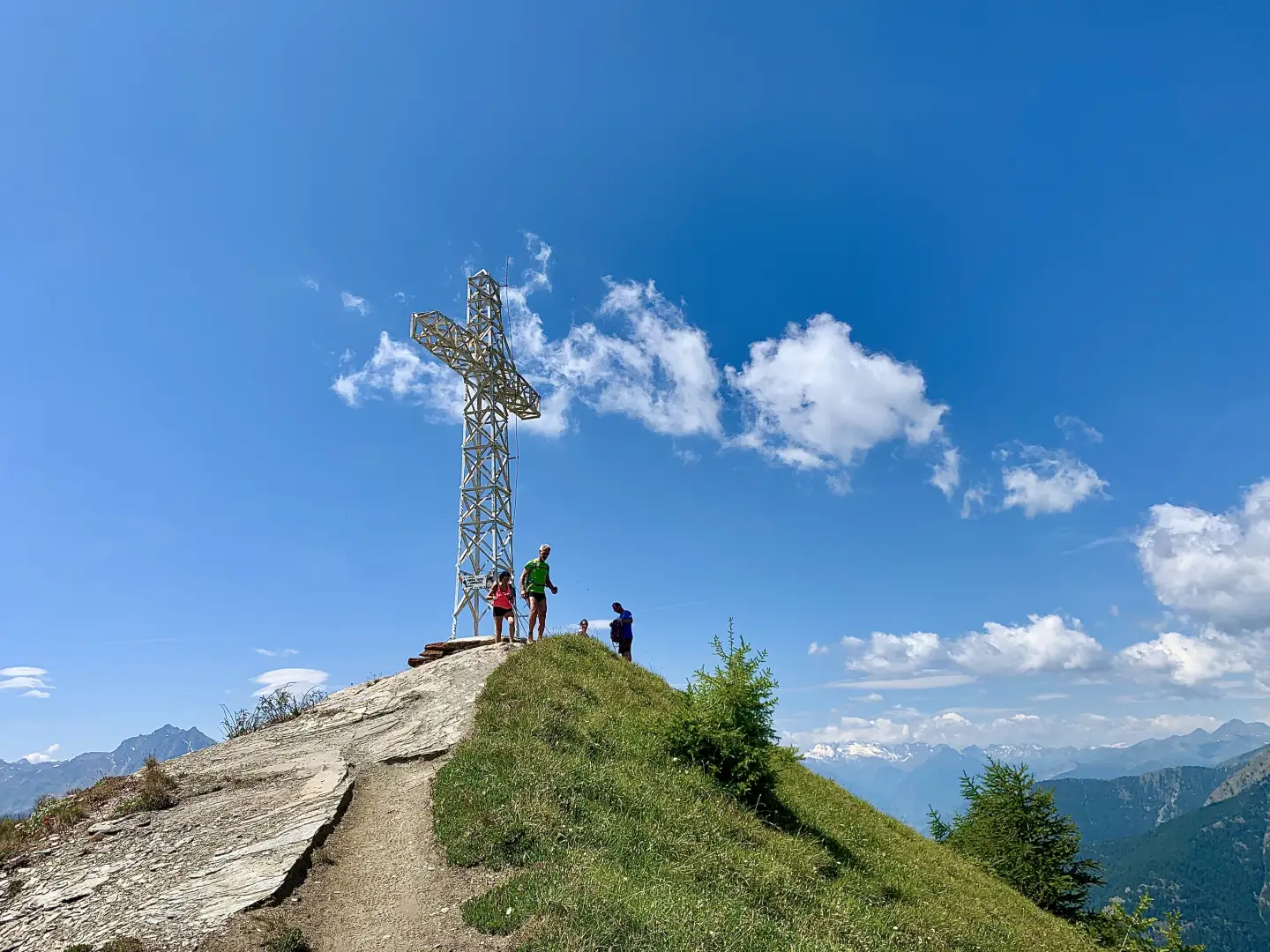
Becca d'Aver, da Champlong
Una bella escursione priva di difficoltà che in poco tempo vi porta su di un balcone privilegiato per scoprire le...
T2
9.00 Km
819 m
Edited by:
Massimo Martini
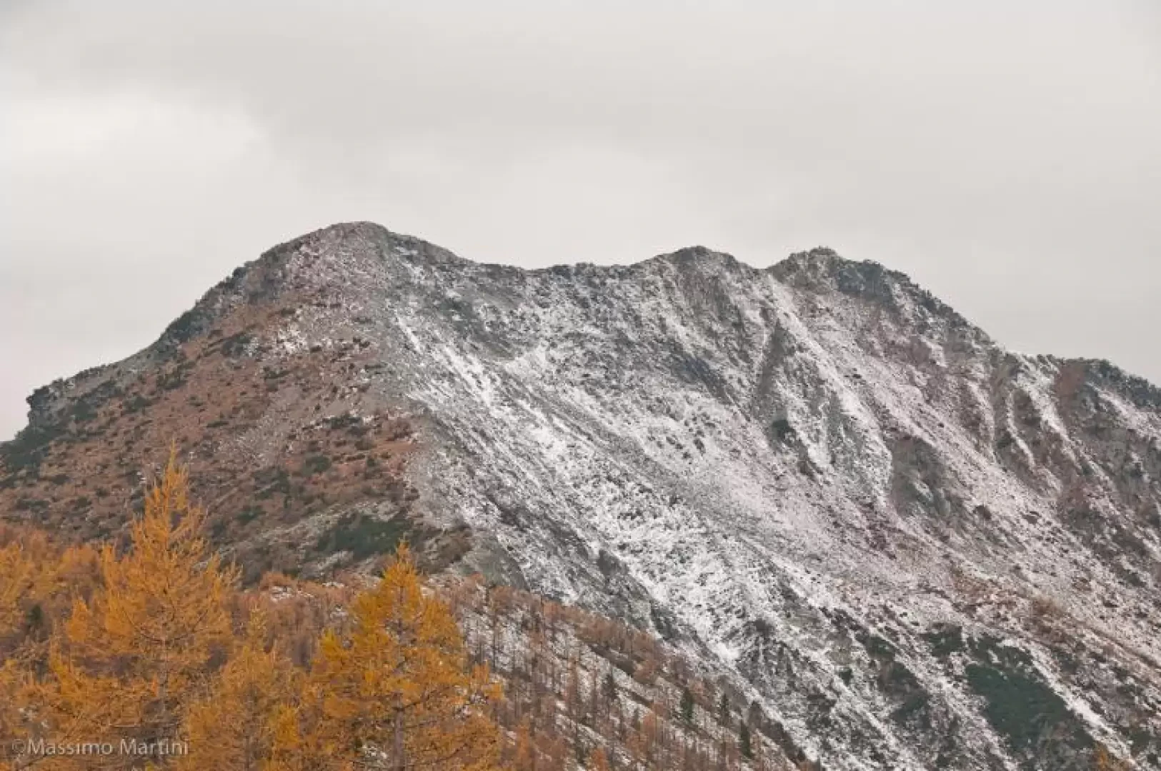
Longhede Peak, from Champlong
From the start, you can immediately appreciate the wide grassy ridge that links the peaks of Cima Longhede and Becca...
T2
10.80 Km
845 m
Edited by:
Massimo Martini
Mont Barbeston, from Bellecombe
The route described here represents access to Mont Barbeston from the commune of Châtillon. A route with a moderate difference...
T2
15.21 Km
1467 m


Edited by:
Massimo Martini
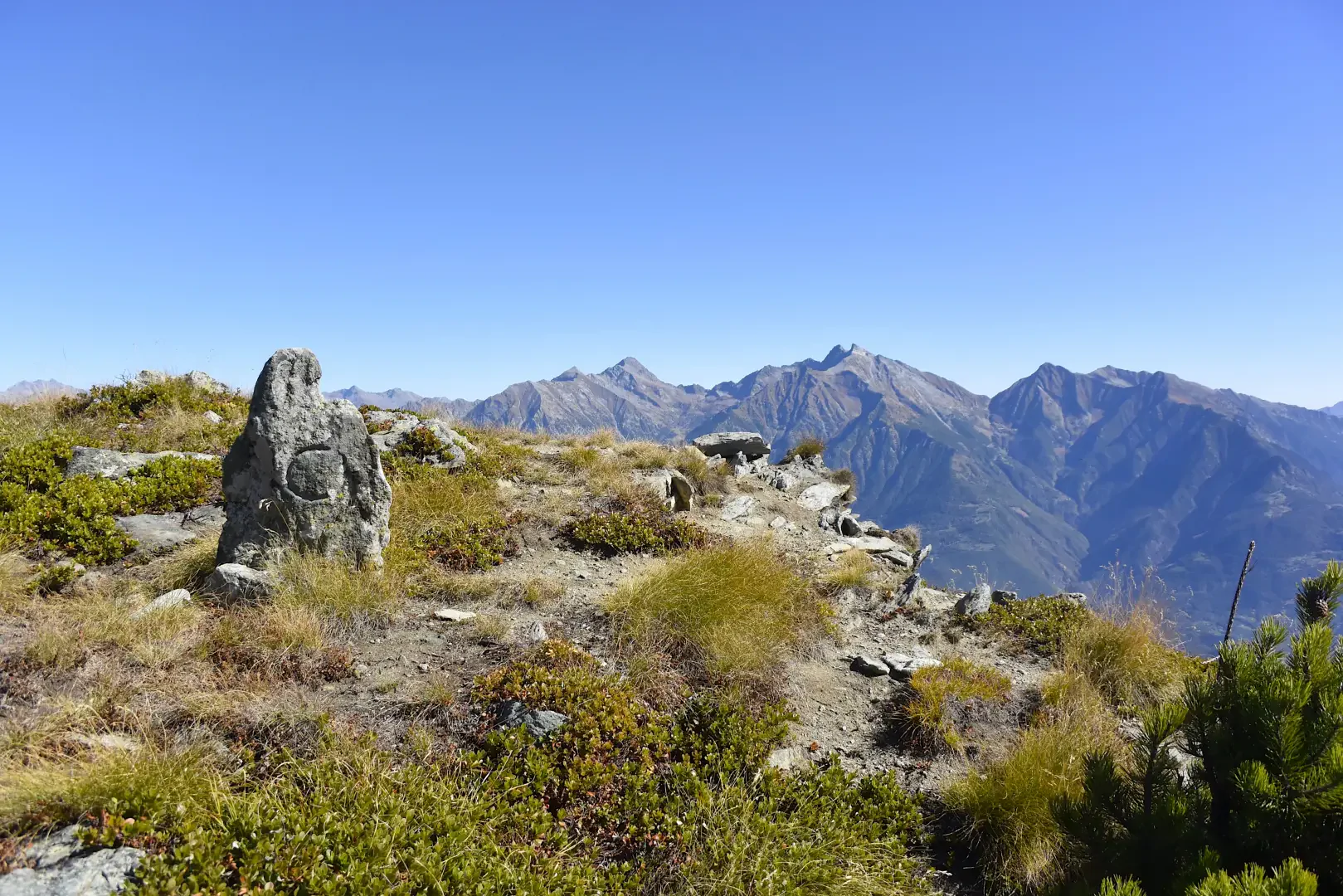
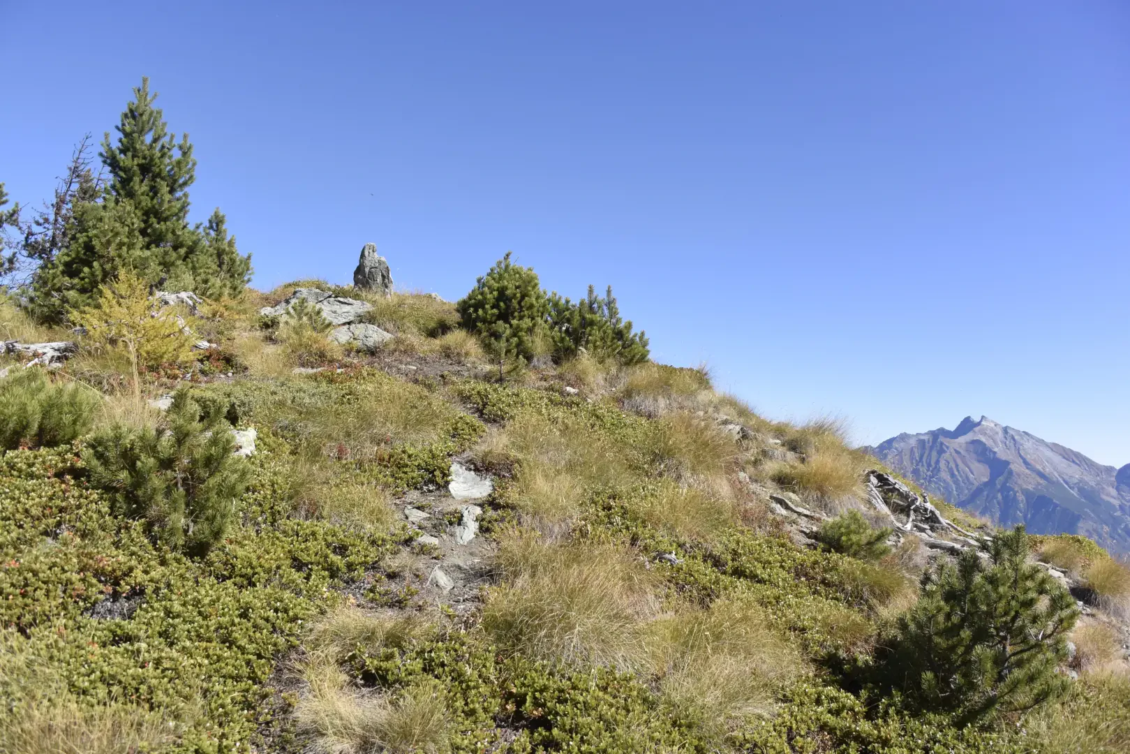
Mont de Corquet, from Les Druges Hautes
The Mont de Corquet is located on the southern heights of the commune of Saint-Marcel and represents a very interesting...
T2
11.00 Km
915 m


Edited by:
Maurizio Bergamini
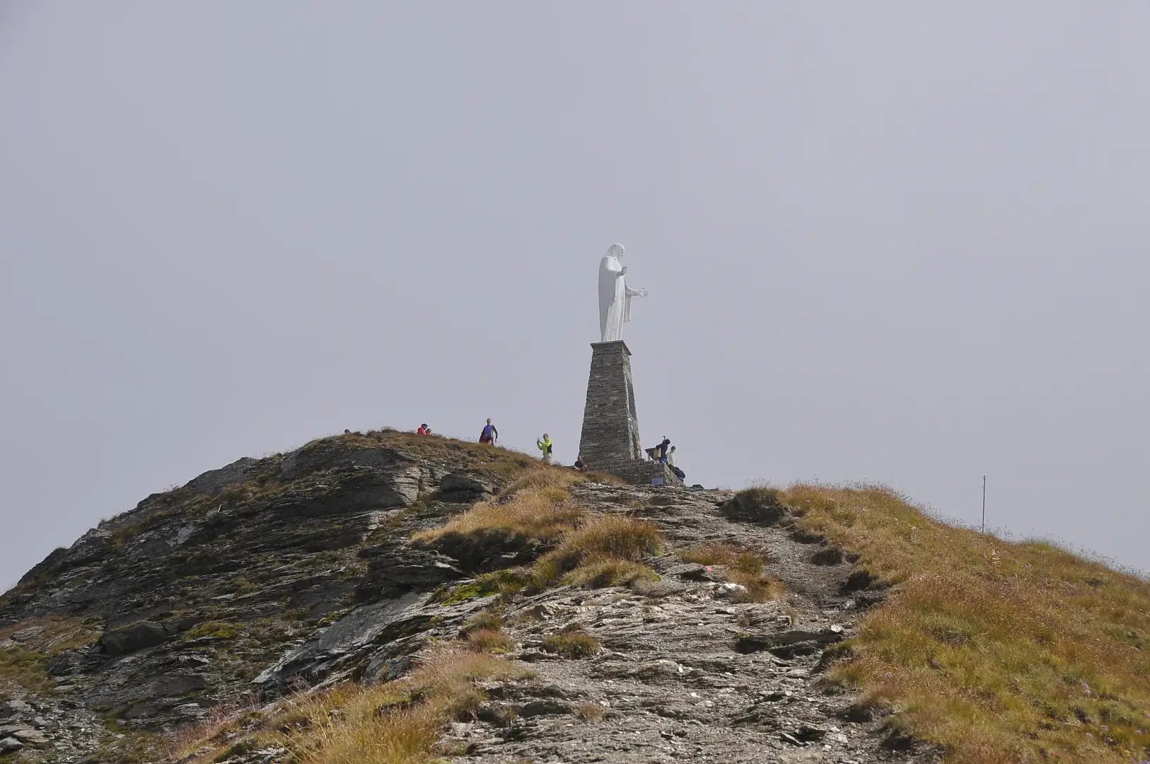
Mount Barbeston, from Cloutraz
Easy access to a highly panoramic peak, located in the centre of the Aosta Valley and offering a priceless panorama...
T2
13.00 Km
1430 m


Edited by:
Maria Grazia Schiapparelli
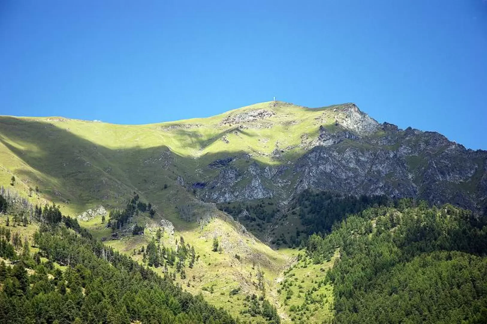
Testa di Comagna
La Testa di Comagna è un dosso visibile anche dal fondovalle, un itinerario facile, bel balcone sulla val d'Ayas, posta...
T2
0.00 Km
579 m
Edited by:
Massimo Martini
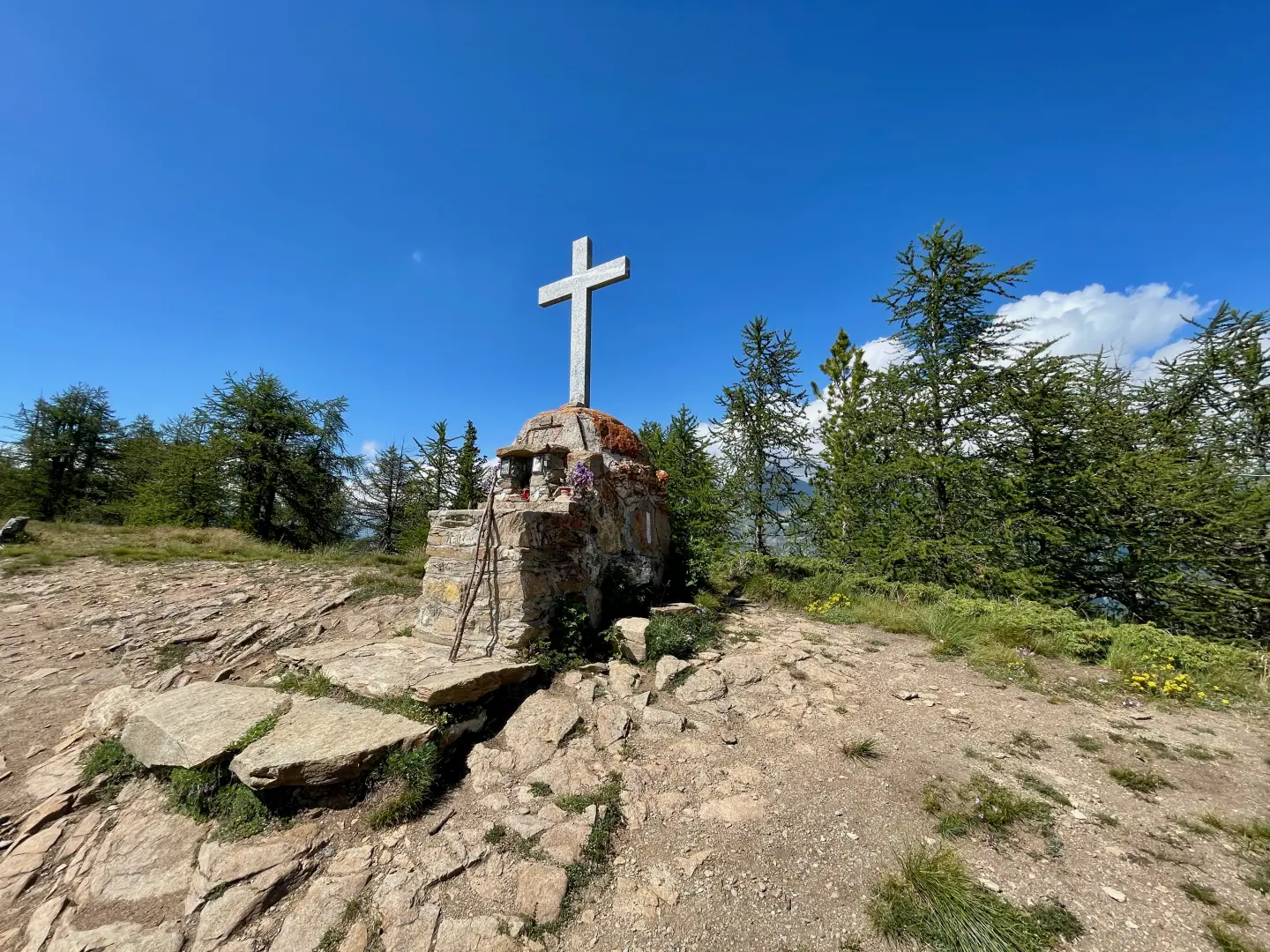
Comagna Head, from Col Tsécore
The itinerary towards Testa di Comagna (2105m) winds its way between the central valley and the Val d'Ayas, following a...
T2
5.00 Km
498 m