Nearby
📍 Location Details
Latitude:
Longitude:
Accuracy:
Updated:
0 km
100 km
Path
km
-
km
m
m
Hike Type
Round trip
Circular
Crossing
Partially circular
Recommended Period
All
Hiking
Snowshoeing
Ski-mountaineering
Mountaineering
Via ferrata
Climbing
Mountain bike
Trekking
Active filters:
Tags: hiking,summits,2000,valtournenche-valley
Showing 9 results
with active filters
Loading...

Edited by:
Giancarlo Beretta
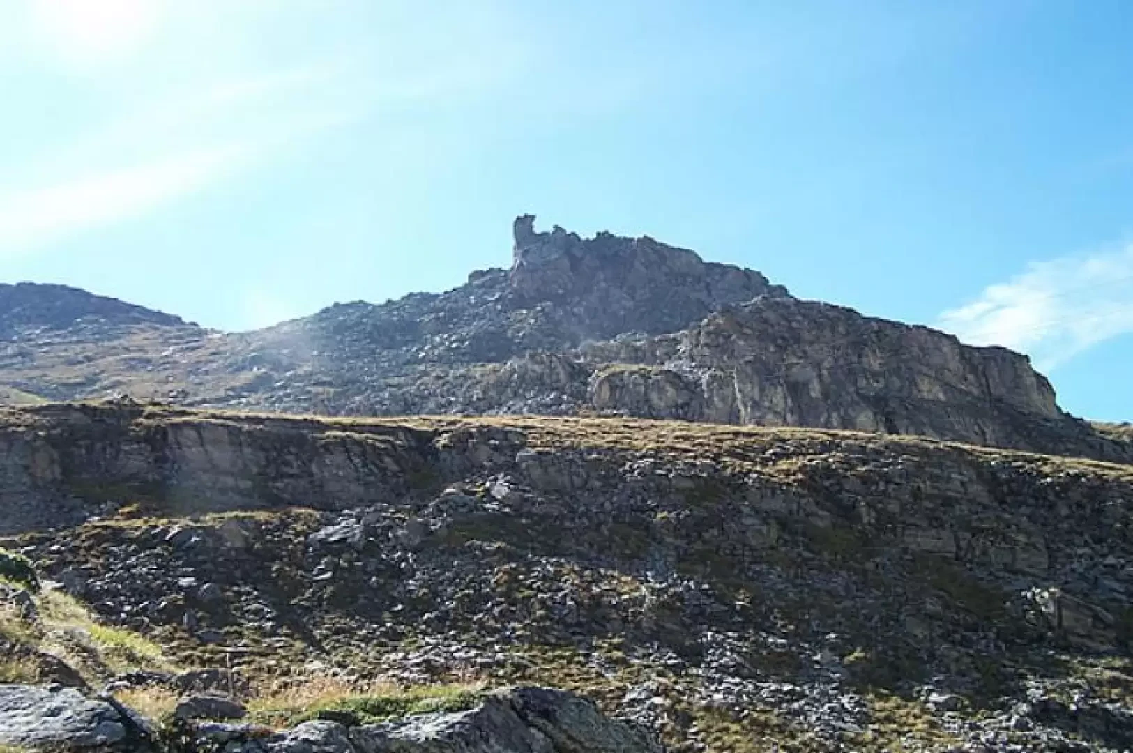
Bec du Pio Merlo, from Cielo Alto
Short hike that leads to a privileged vantage point for those who want to enjoy the wide panorama of the...
T2
4.00 Km
520 m

Edited by:
Massimo Martini
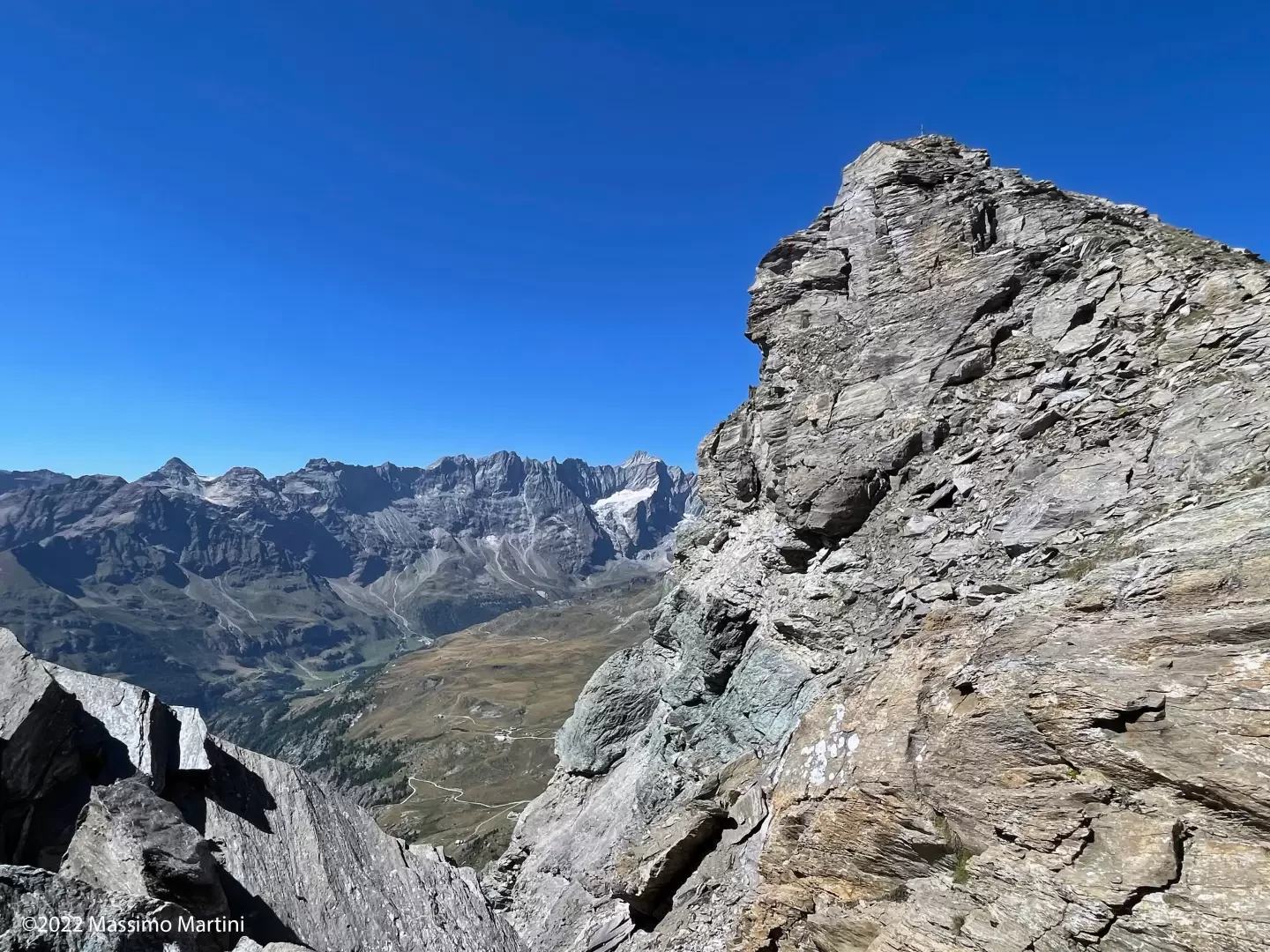
Becca d'Aran, from the car park at La Barma
Seen from Valtournenche, the Becca d’Aran appears as a forbidding rocky bastion that gives no hint of an easy climb....
T3
8.00 Km
922 m

Edited by:
Massimo Martini
Mont Pancherot, from Les Perrères
On the orographic right-hand side of the Marmore torrent, an itinerary develops that joins Valtournenche with the Cignana valley via...
T2
10.46 Km
803 m
Edited by:
Massimo Martini
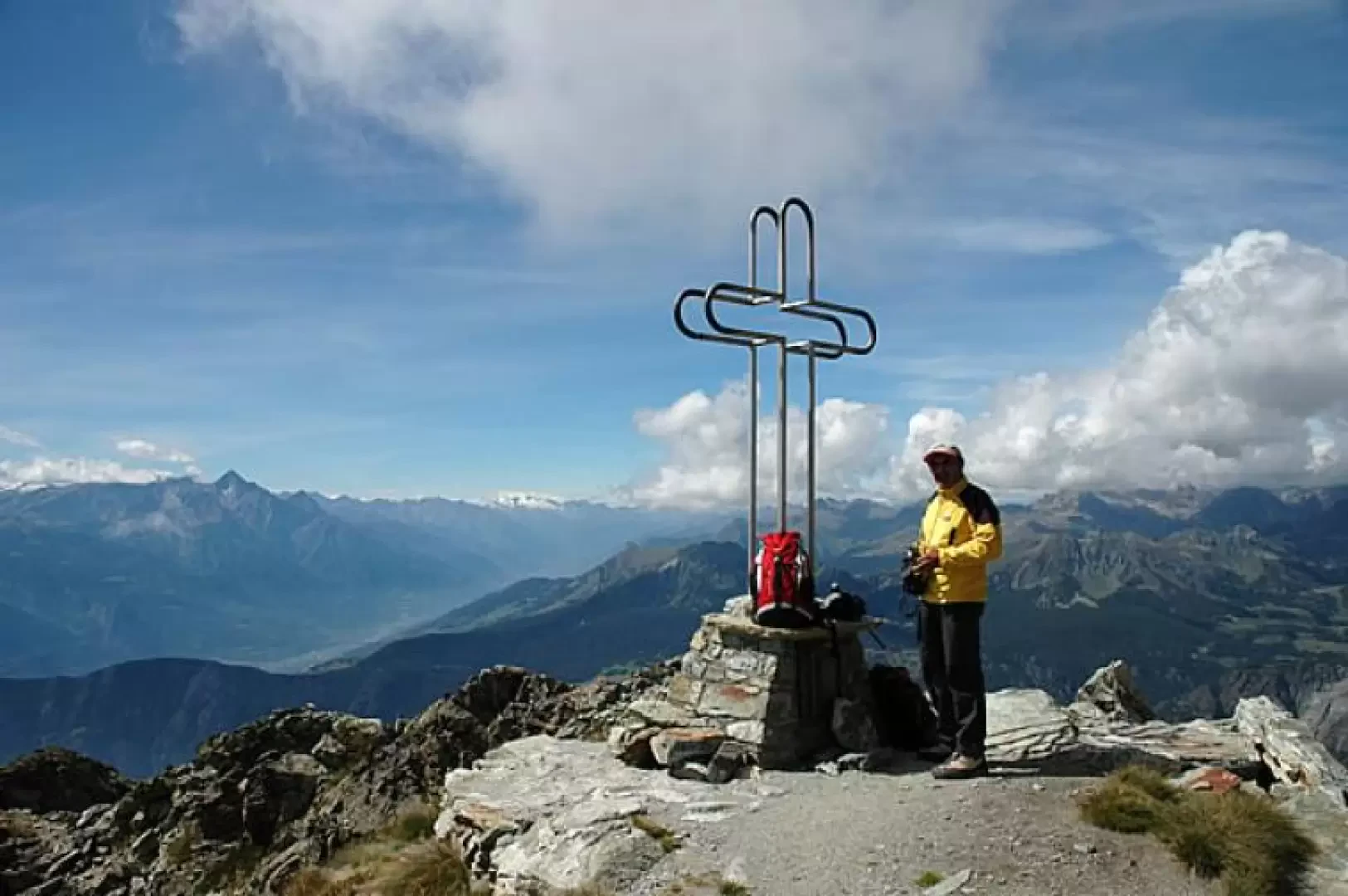
Mont Tantané, from the Artaz car park
Interesting loop on the slopes of Mont Tantané: the proposed route is configured as a loop and provides a beautiful...
T2
9.50 Km
1019 m
Edited by:
Massimo Martini
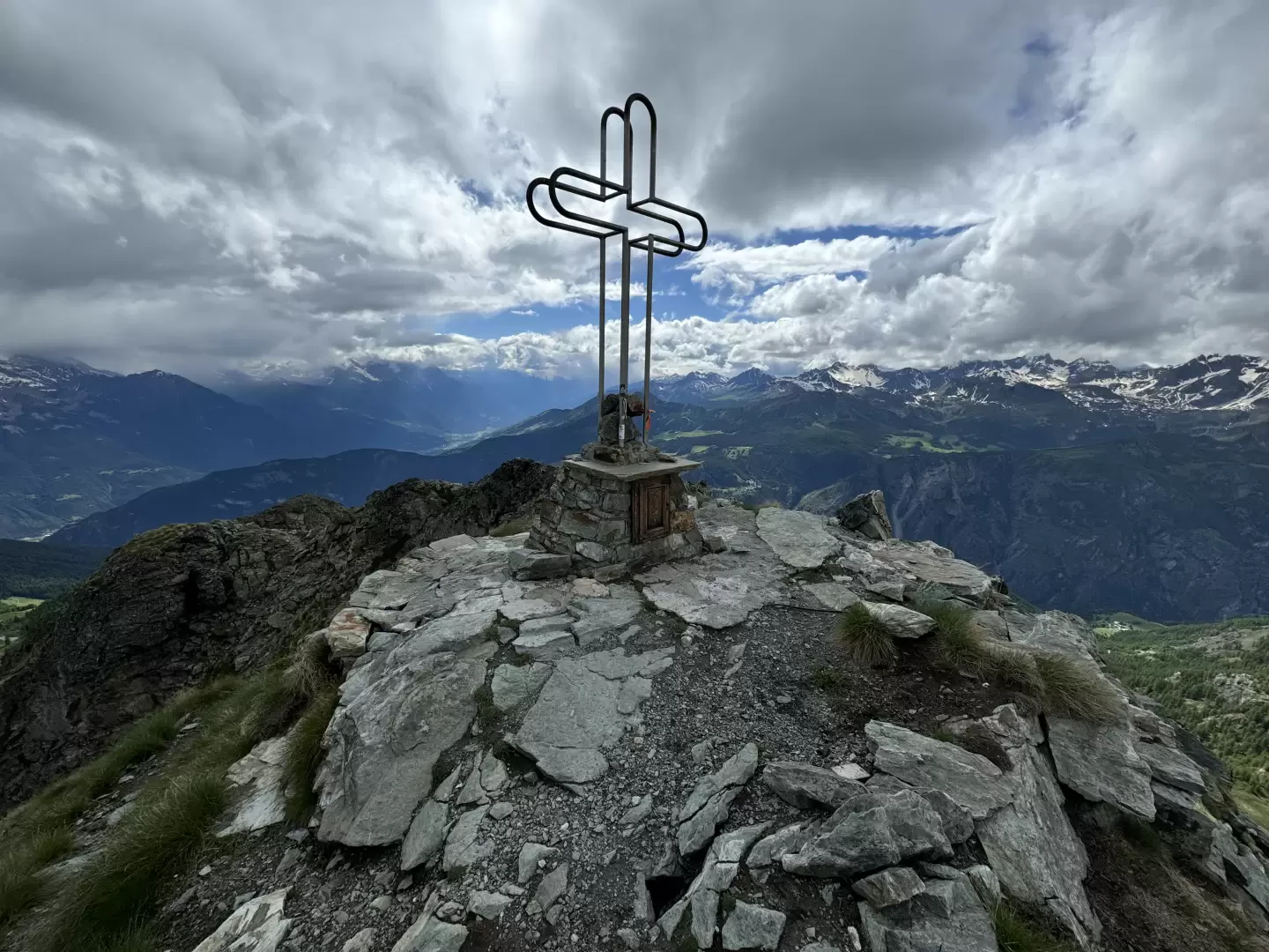
Mont Tantané, from Promiod
Mont Tantané is a 2734-metre-high peak at the end of the Tournalin-Zerbion coastline. Isolated and pyramid-shaped, it can be reached...
T3
14.00 Km
1240 m
Edited by:
Massimo Martini
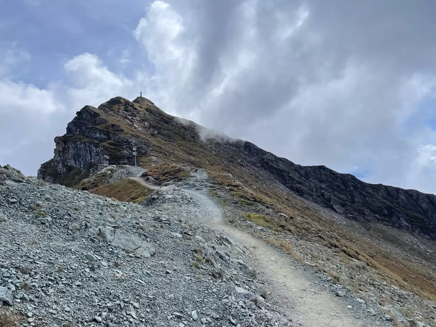
Mont Zerbion, loop from Promiod to Col Portola
A pleasant hike starting from the village of Promiod and climbing up the wide valley of the same name. When...
T2
15.10 Km
1243 m
Edited by:
Massimo Martini
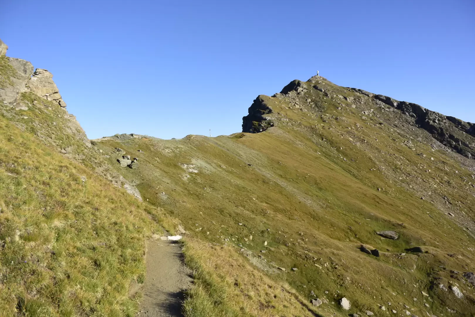
Mont Zerbion, from Artaz
A delightful hike starting from the village of Artaz in the commune of La Magdeleine and ascending through the cool...
T2
15.00 Km
1241 m
Edited by:
Massimo Martini
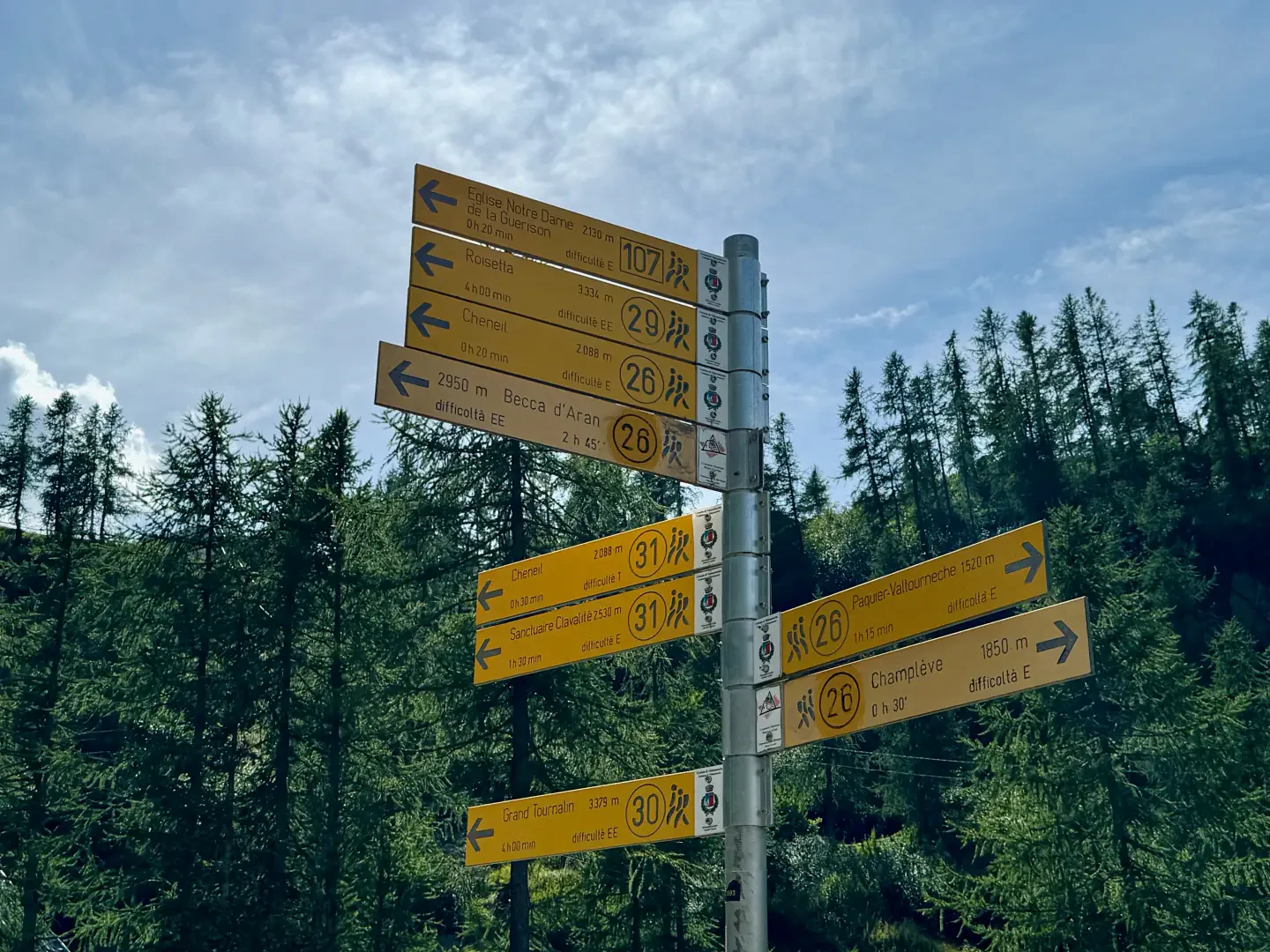
Mont Molar, from the La Barma car park
Itinerario di andata e ritorno dal parcheggio di La Barma (2.035m), nel comune di Valtournenche, verso la vetta occidentale del...
T2
3.84 Km
453 m

Edited by:
Massimo Martini
Motta di Plété occidentale, loop from the Euiilaz cable car station
The Motta di Plété is a grassy panettone that forms the western side of the mountainous coastline from the Gran...
T3
9.00 Km
604 m