Nearby
📍 Location Details
Latitude:
Longitude:
Accuracy:
Updated:
0 km
100 km
Path
km
-
km
m
m
Hike Type
Round trip
Circular
Crossing
Partially circular
Recommended Period
All
Hiking
Snowshoeing
Ski-mountaineering
Mountaineering
Via ferrata
Climbing
Mountain bike
Trekking
Active filters:
Tags: hiking,summits,aosta-valley
Showing 193 results
with active filters
Loading...
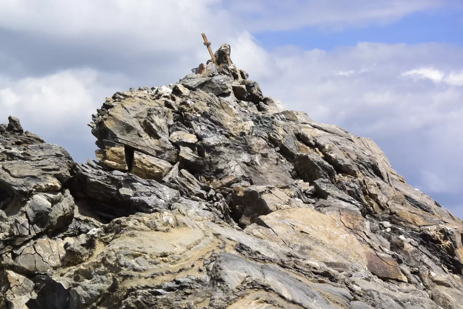

Edited by:
Massimo Martini
Aiguille d'Artanavaz via Ecoules, from Planaval – La Salle
T3
13.91 Km
1274 m
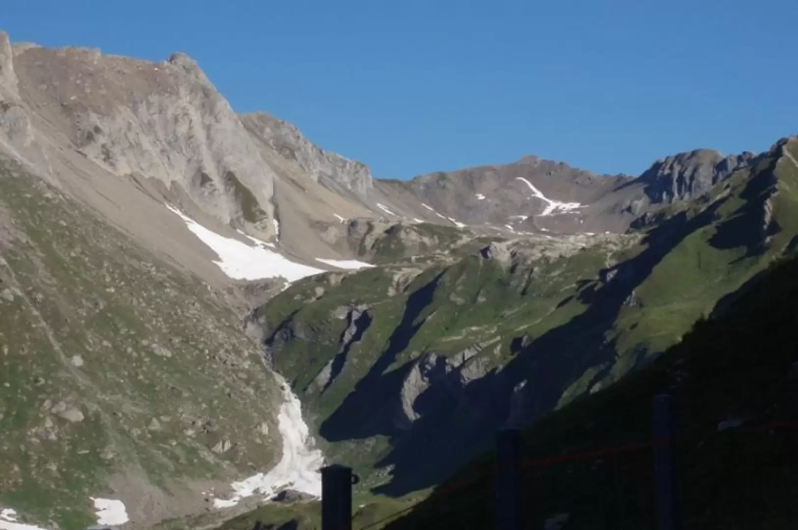

Edited by:
Benedetto Lorusso
Aiguille d'Artanavaz via Rantin, from Planaval – La Salle
The final destination offers a breathtaking view: Mont Blanc and the Grandes Jorasses, whilst the horizon stretches from the Combin...
T3
17.60 Km
1346 m
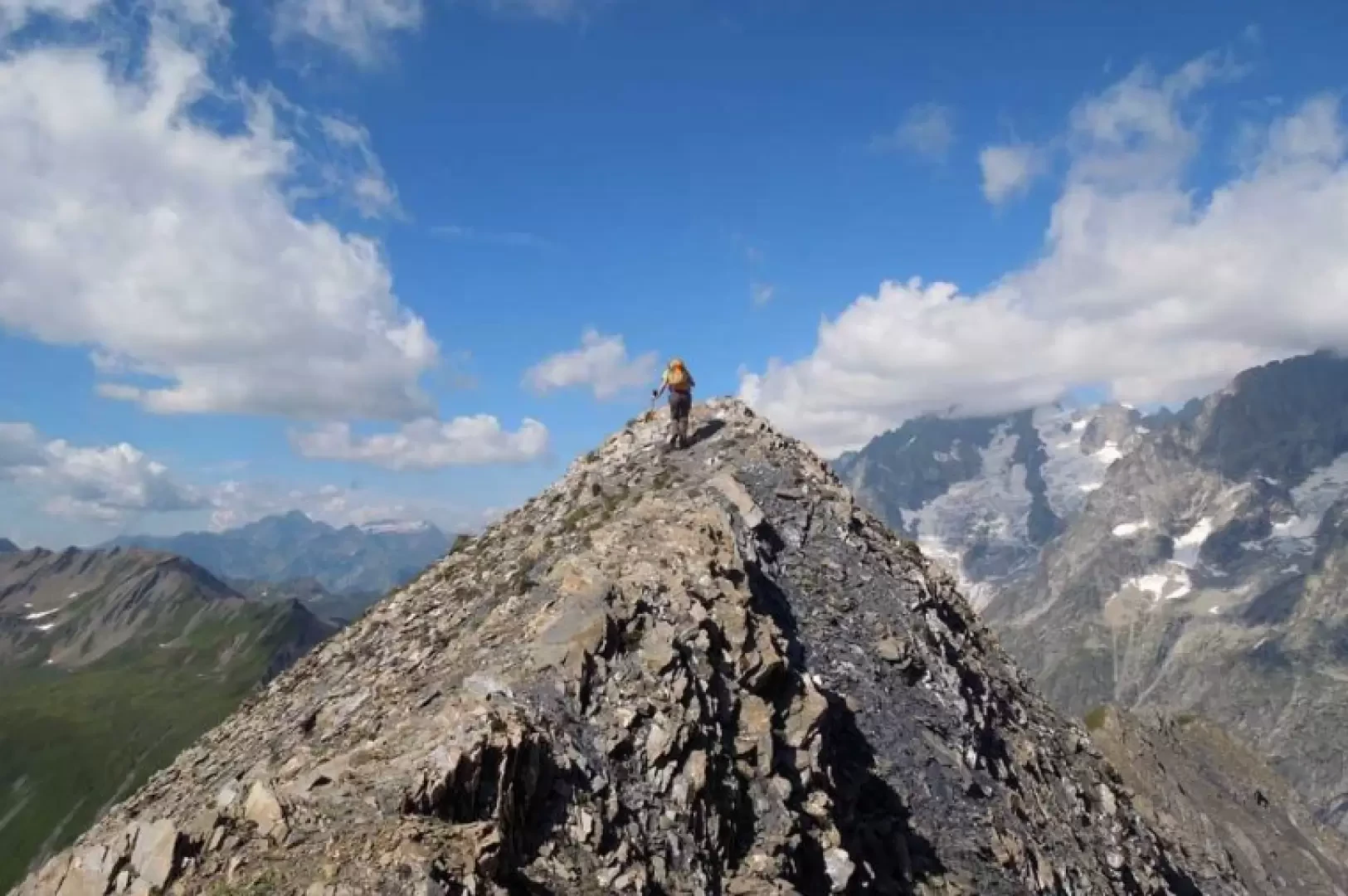

Edited by:
Giancarlo Beretta
Aiguille des Angroniettes to Col Ban Darrey, a circular walk from Arp Nouvaz
This beautiful and challenging circular walk takes you away from the crowds on the classic trails, through the upper Val...
T3
12.03 Km
1155 m
Edited by:
Benedetto Lorusso
Aiguilles de Leisasse
Bella cima in ambiente selvaggio, nota anche come Aiguille de Lesache o des Sasses, frequentata anche d'inverno. A metà salita,...
T4
3.66 Km
914 m
Edited by:
Massimo Martini
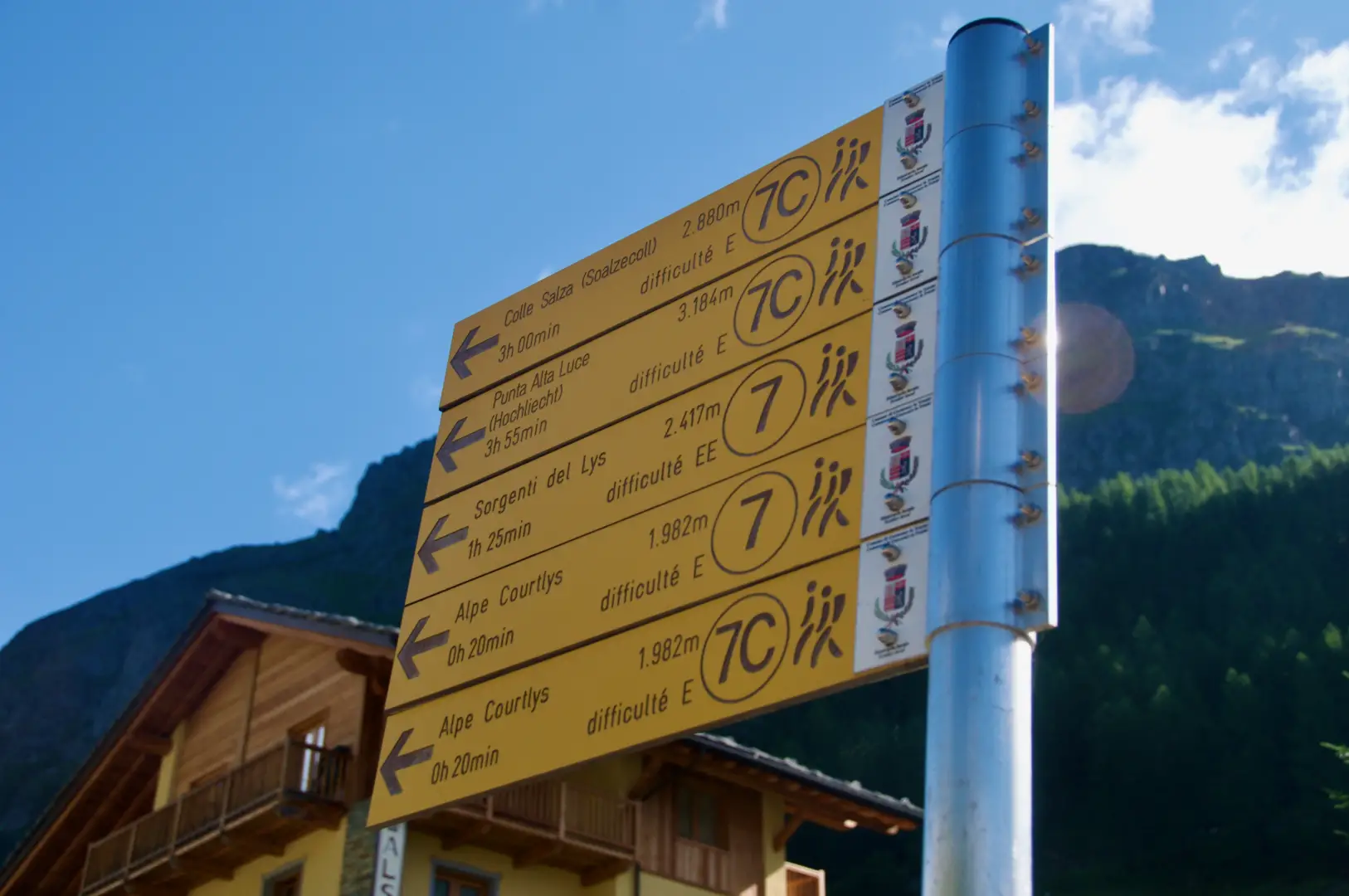
Alta Luce, from the Staffal car park
A round-trip route ascending to the summit of Alta Luce (Hochlicht, 3,184 m), situated on the ridge separating the Lys...
T3
12.92 Km
1409 m


Edited by:
Ivano Ruffoni
Alta Luce, dal Gabiet
Itinerario escursionistico che conduce ad ammirare il magnifico ghiacciaio del Lys (Lysgletscher) da un incredibile belvedere. Lo sguardo, dalla vetta,...
T2
10.60 Km
881 m
Edited by:
Massimo Martini
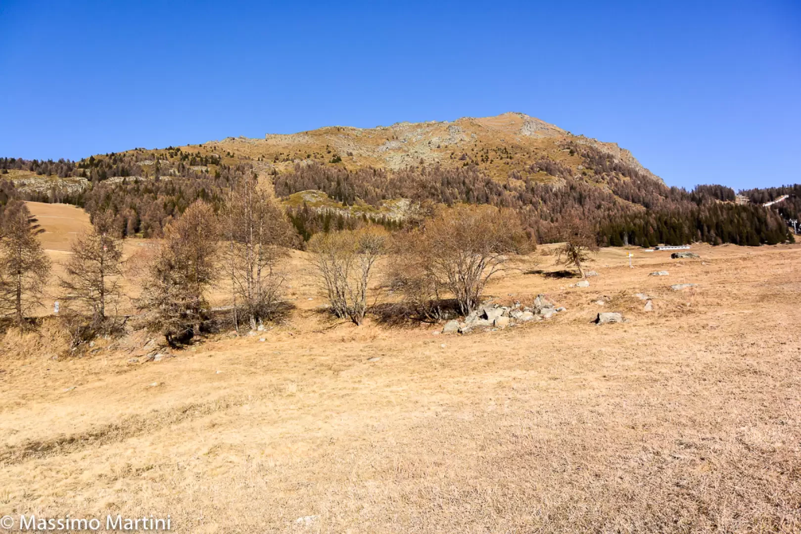
Mont Méabé secondary summit, from the Golette car park
The secondary summit of Mont Méabé offers a superb panoramic view over the central Valtournenche valley. The route is relatively...
T2
6.40 Km
742 m

Edited by:
Massimo Martini
Balma di Oropa, from Pillaz
The Balma di Oropa is a border peak between Valle d'Aosta and Piedmont. The ascent to the Balma allows, on...
T2
13.00 Km
1074 m

Edited by:
fabio_olmo
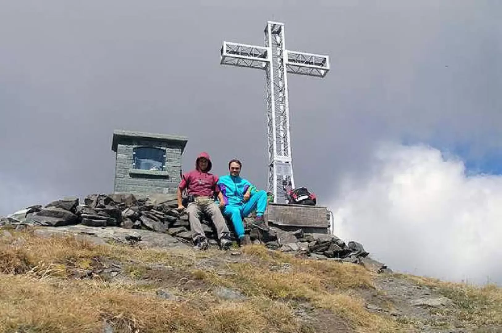
Bec de Nannaz, from Mandriou
The Bec de Nannaz or Falconetta (so called because of the numerous falcons on its summit) is one of the...
T2
9.67 Km
1161 m
Edited by:
Giancarlo Beretta
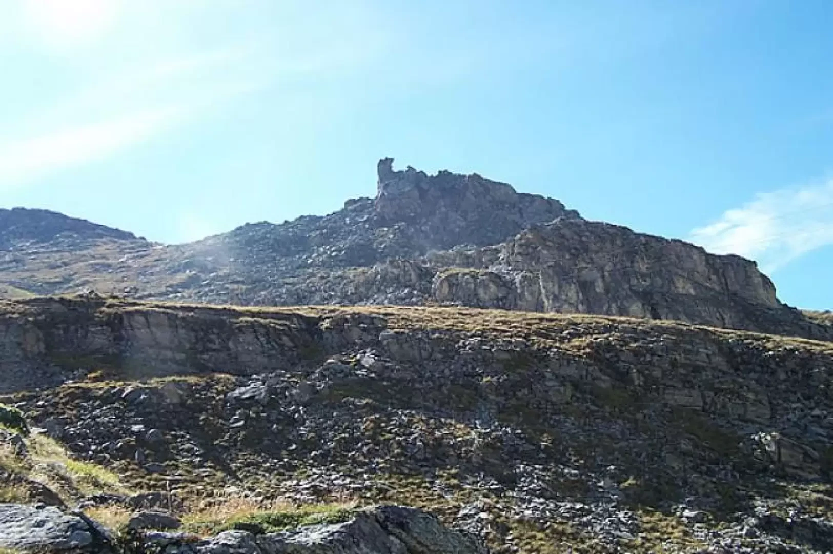
Bec du Pio Merlo, from Cielo Alto
Short hike that leads to a privileged vantage point for those who want to enjoy the wide panorama of the...
T2
4.00 Km
520 m
Edited by:
Massimo Martini
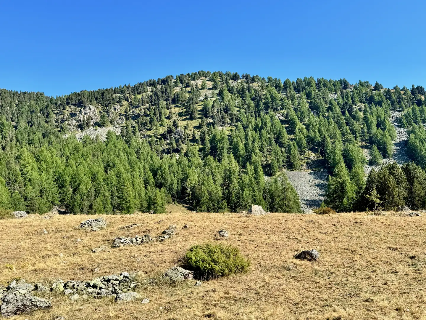
Bec Gavin, from the Castagnot car park
The ascent to Bec Gavin follows a secluded route, set amongst the solitary landscapes of the Brenve valley, on the...
T2
11.58 Km
926 m
Edited by:
Benedetto Lorusso
Bec Noir de Menouve, from Prailles dessous
A small knoll on the border between Val d'Aosta and Valais, an excellent viewpoint above the col Nord de Menouve,...
T3
0.00 Km
1200 m