Nearby
📍 Location Details
Latitude:
Longitude:
Accuracy:
Updated:
0 km
100 km
Path
km
-
km
m
m
Hike Type
Round trip
Circular
Crossing
Partially circular
Recommended Period
All
Hiking
Snowshoeing
Ski-mountaineering
Mountaineering
Via ferrata
Climbing
Mountain bike
Trekking
Active filters:
Tags: hiking,summits,average-aosta-valley
Showing 21 results
with active filters
Loading...


Edited by:
Massimo Martini
Becca d'Aver, da Champlong
Una bella escursione priva di difficoltà che in poco tempo vi porta su di un balcone privilegiato per scoprire le...
T2
9.00 Km
819 m
Edited by:
Massimo Martini
Becca di Salé, by Grand Brissogne
A linear route that climbs the entire length of the Laures valley, above the village of Brissogne, up to Becca...
T3
17.51 Km
2130 m
Edited by:
Massimo Martini
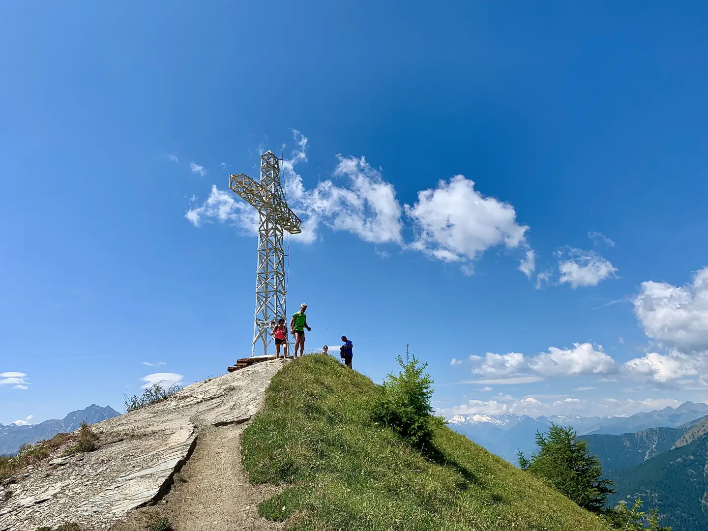
Longhede Peak, from Champlong
From the start, you can immediately appreciate the wide grassy ridge that links the peaks of Cima Longhede and Becca...
T2
10.80 Km
845 m

Edited by:
Massimo Martini
Croix de Fana, from Fonteil with path 2
The Croix de Fana is the southernmost peak of the long mountain ridge descending from the Becs de Fana. It...
T2
5.93 Km
782 m

Edited by:
Massimo Martini
Croce di Fana, da Fonteil con il sentiero 2B
La Croce di Fana è una punta minore al cospetto di più imponenti bastioni che circondano la conca di Aosta,...
T2
11.00 Km
775 m
Edited by:
Massimo Martini
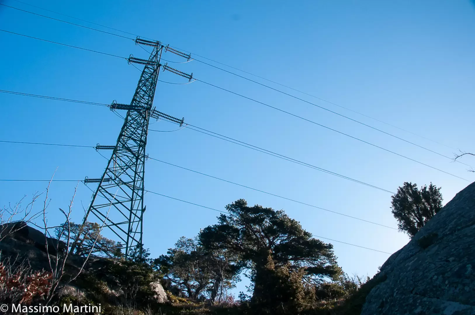
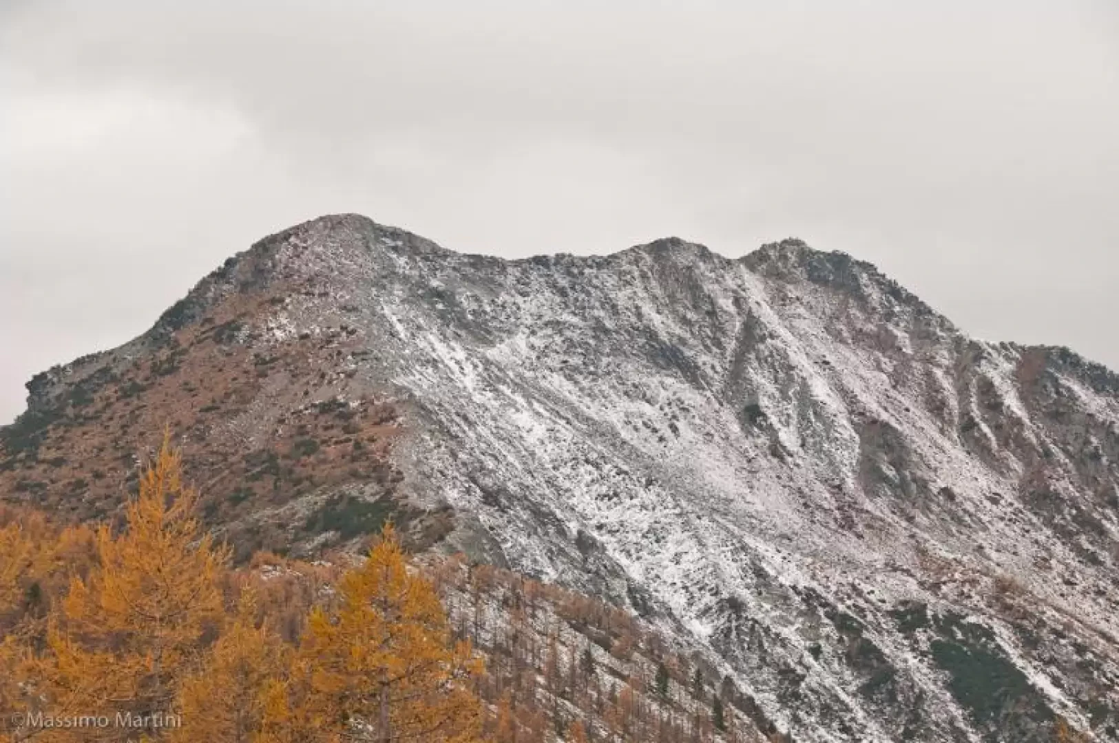
Mont Avi, from Bellecombe
Finding thousand-metre peaks in the Valle d'Aosta is a difficult task. Mont Avi is one of these, a little-known peak...
T3
2.00 Km
100 m
Edited by:
Massimo Martini
Mont Barbeston, from Bellecombe
The route described here represents access to Mont Barbeston from the commune of Châtillon. A route with a moderate difference...
T2
15.21 Km
1467 m


Edited by:
Massimo Martini
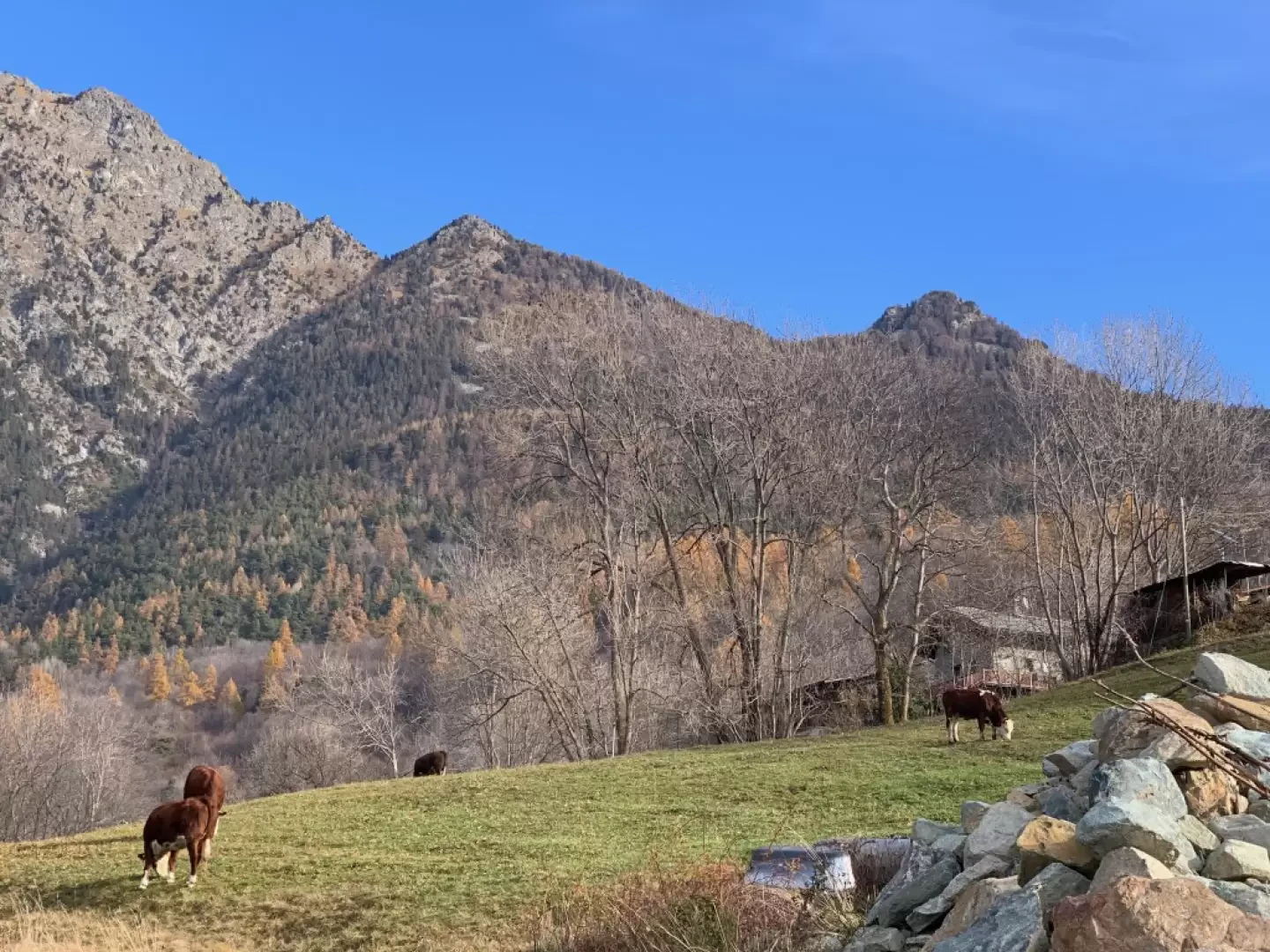
Mont de Corquet, from Les Druges Hautes
The Mont de Corquet is located on the southern heights of the commune of Saint-Marcel and represents a very interesting...
T2
11.00 Km
915 m
Edited by:
Massimo Martini
Mont Jetire, from Piazza Aosta to Saint-Vincent
Mont Jetire is a peak over 2000m high located along the
south ridge of Mont Zerbion. This itinerary is little...
T2
19.00 Km
1568 m