Nearby
📍 Location Details
Latitude:
Longitude:
Accuracy:
Updated:
0 km
100 km
Path
km
-
km
m
m
Hike Type
Round trip
Circular
Crossing
Partially circular
Recommended Period
All
Hiking
Snowshoeing
Ski-mountaineering
Mountaineering
Via ferrata
Climbing
Mountain bike
Trekking
Active filters:
Tags: hiking,summits,ayas-valley
Showing 12 results
with active filters
Loading...

Edited by:
fabio_olmo
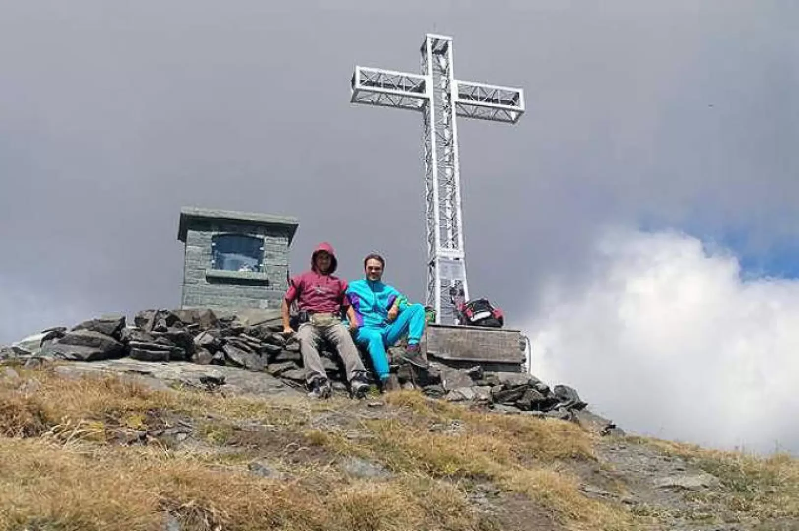
Bec de Nannaz, from Mandriou
The Bec de Nannaz or Falconetta (so called because of the numerous falcons on its summit) is one of the...
T2
9.67 Km
1161 m


Edited by:
Massimo Martini
Corno Boussolaz, from the Fenillettaz car park
Relatively long but rewarding walk, in fact, after 3½ hours of walking through the Palasinaz lake group, you can enjoy...
T3
15.00 Km
1144 m
Edited by:
Massimo Martini
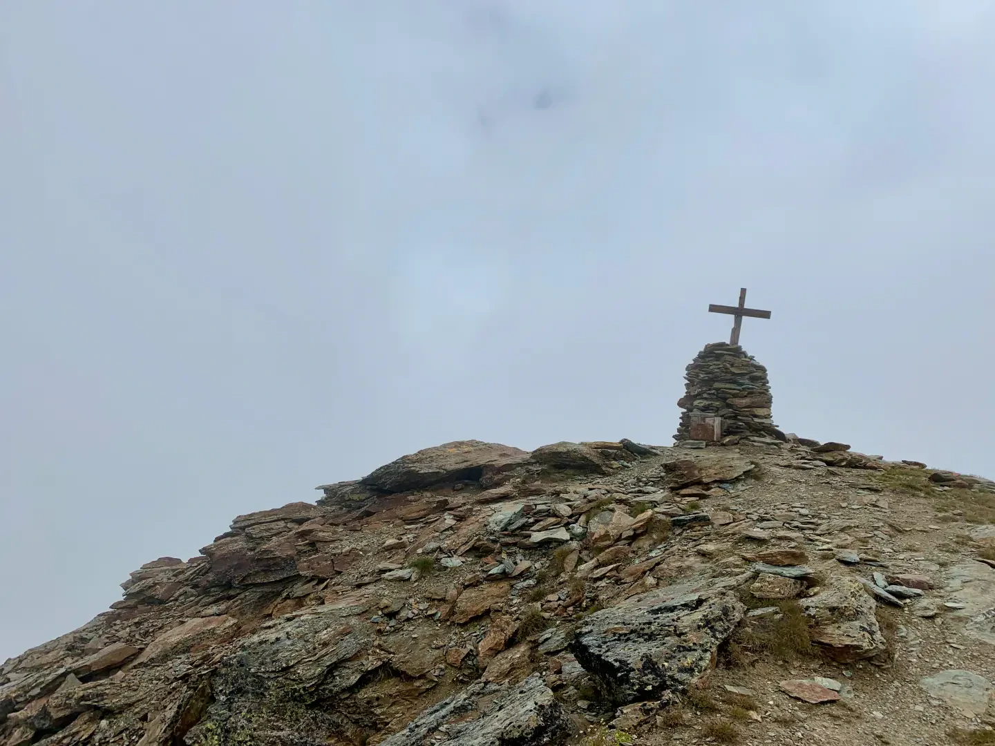
Corno Vitello
Il Corno Vitello (Chalberhòre in walser) è uno dei "tremila" escursionistici della Val d'Ayas. L'ascensione non presenta alcuna diffiltà per...
T3
0.00 Km
1178 m
Edited by:
Massimo Martini
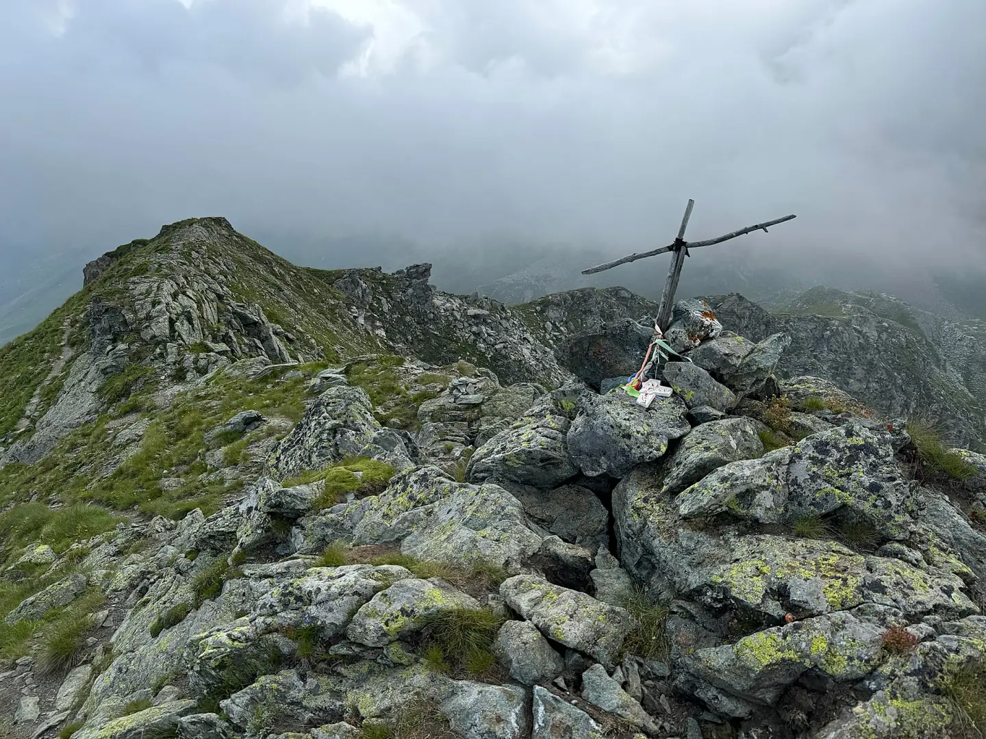
Mont Facciabella, from Mandriou
A climb that starts from the village of Mandriou and winds its way up the upper Val d’Ayas to Mont...
T2
15.00 Km
1056 m


Edited by:
Giancarlo Beretta
Mont Taille, from the Fenillettaz car park
A hike with an almost double the height difference to reach the highest peak due to the numerous ups and...
T4
0.00 Km
1210 m

Edited by:
Massimo Martini
Mont Zerbion, from Barmasc
The most classic route for ascending Mount Zerbion. An excellent route, challenging in places, that will offer you unforgettable views.
T2
8.19 Km
822 m

Edited by:
Massimo Martini
Monte Croce
Poco sopra il Rifugio Grand Tournalin si erge una piccola vetta, magari non molto conosciuta, dalla grande valenza panoramica e...
T2
0.00 Km
1205 m


Edited by:
Marcello Rossi
Palon de Tzère, from the Frachey car park
Rhike classified as EE only due to the lack of a path between the Seure Alp and the summit.
T3
0.00 Km
981 m
Edited by:
Massimo Martini
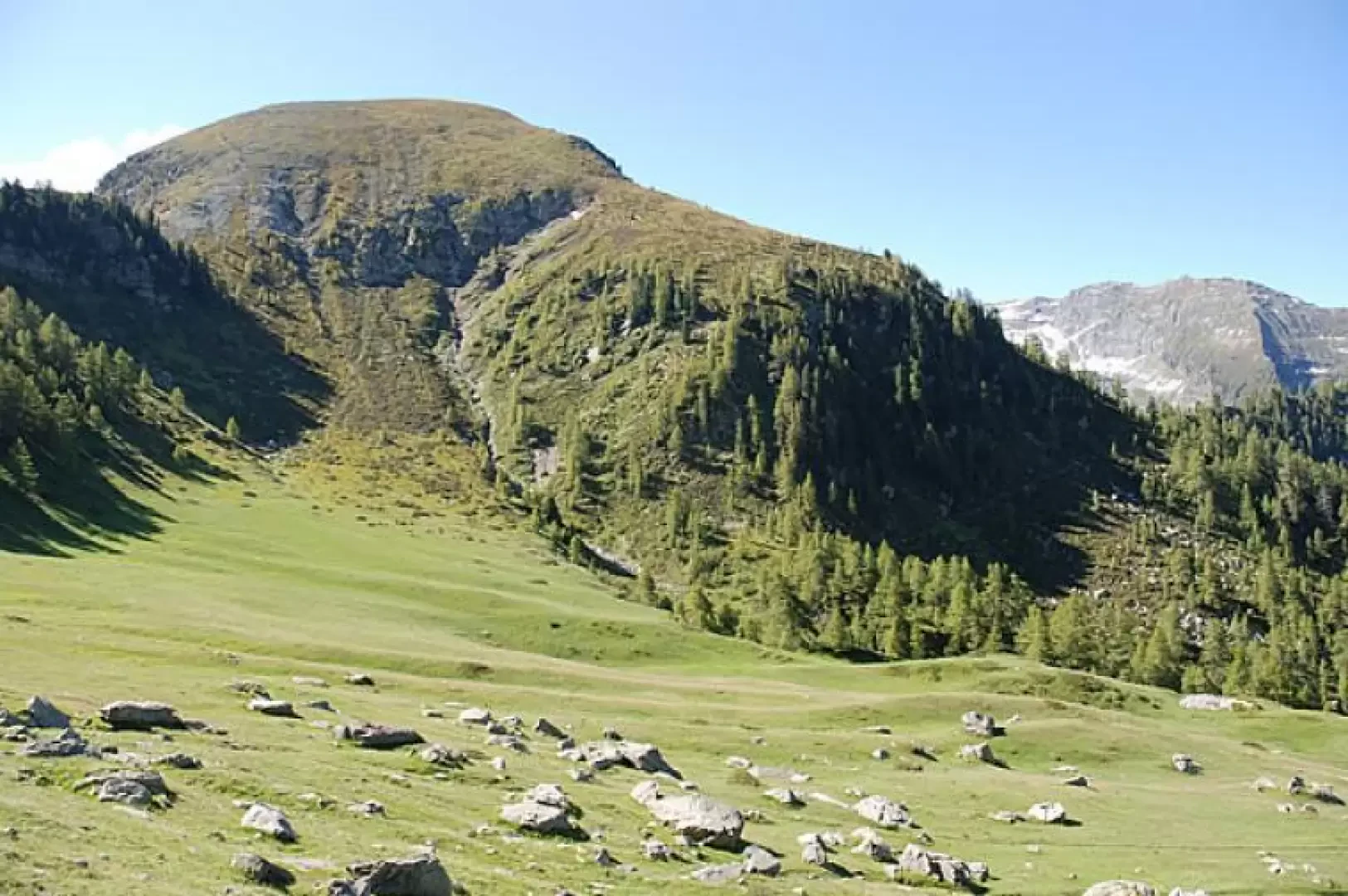
Punta della Regina
Bella passeggiata sulle alture di Estoul. La salita alla Punta della Regina, permette di gustare un bel panorama sulla Valle...
T2
8.00 Km
508 m
Edited by:
Giancarlo Beretta
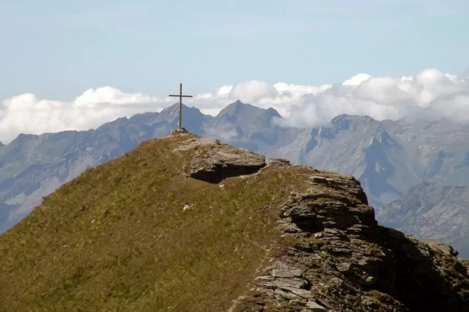
Punta Guà, from the Fenillettaz car park
A hike to a very panoramic peak over the lower Val d'Ayas and the lower Valle d'Aosta. The first part...
T2
0.00 Km
907 m
Edited by:
Massimo Martini
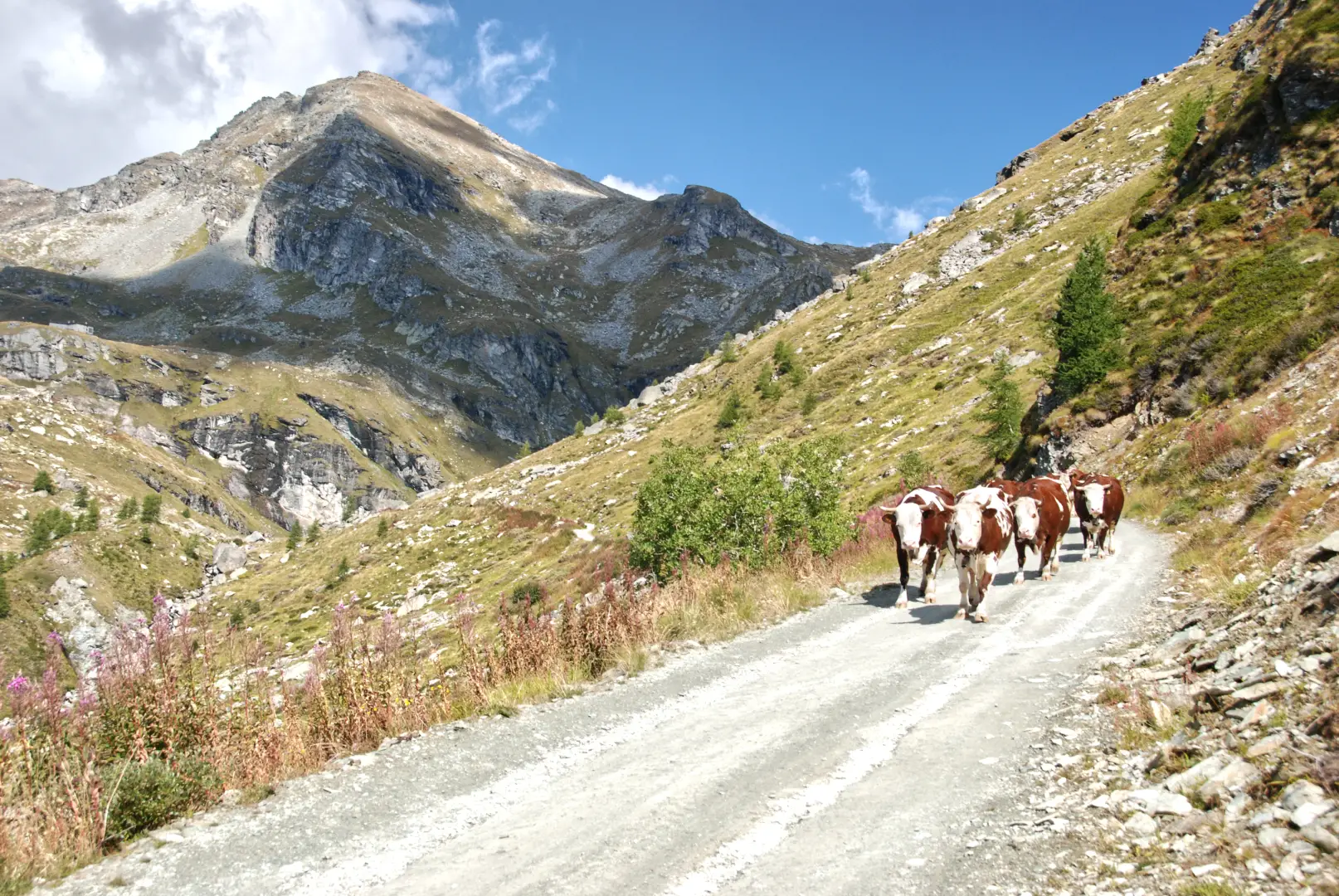
Punta Valfredda
Mentre si risale il vallone che precede il Rifugio Arp...
T2
0.00 Km
0 m

Edited by:
Alain Martini
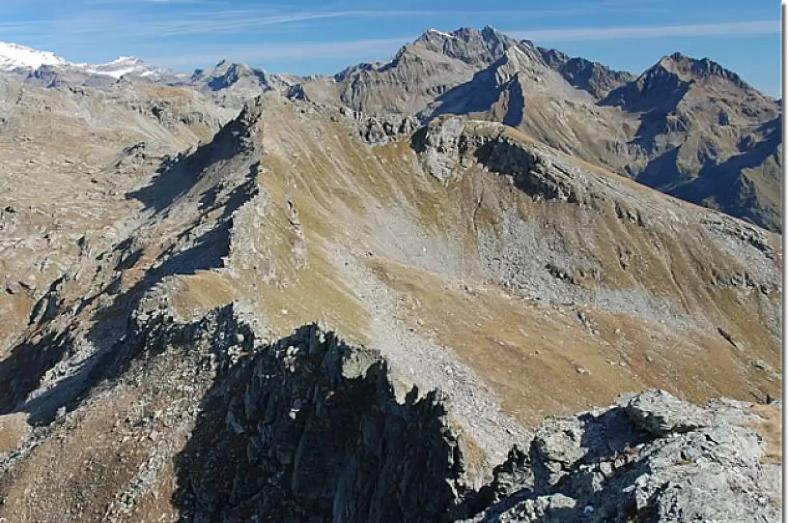
Punta Valnera, from the Fenillettaz car park to the Vallon di Chamen
Walk halfway up the slopes of Mont Bieteron (2764 m), climb up the Estoul valley to the lakes of the...
T2
0.00 Km
937 m