Nearby
📍 Location Details
Latitude:
Longitude:
Accuracy:
Updated:
0 km
100 km
Path
km
-
km
m
m
Hike Type
Round trip
Circular
Crossing
Partially circular
Recommended Period
All
Hiking
Snowshoeing
Ski-mountaineering
Mountaineering
Via ferrata
Climbing
Mountain bike
Trekking
Active filters:
Tags: hiking,summits,chatillon
Showing 12 results
with active filters
Loading...

Edited by:
Massimo Martini
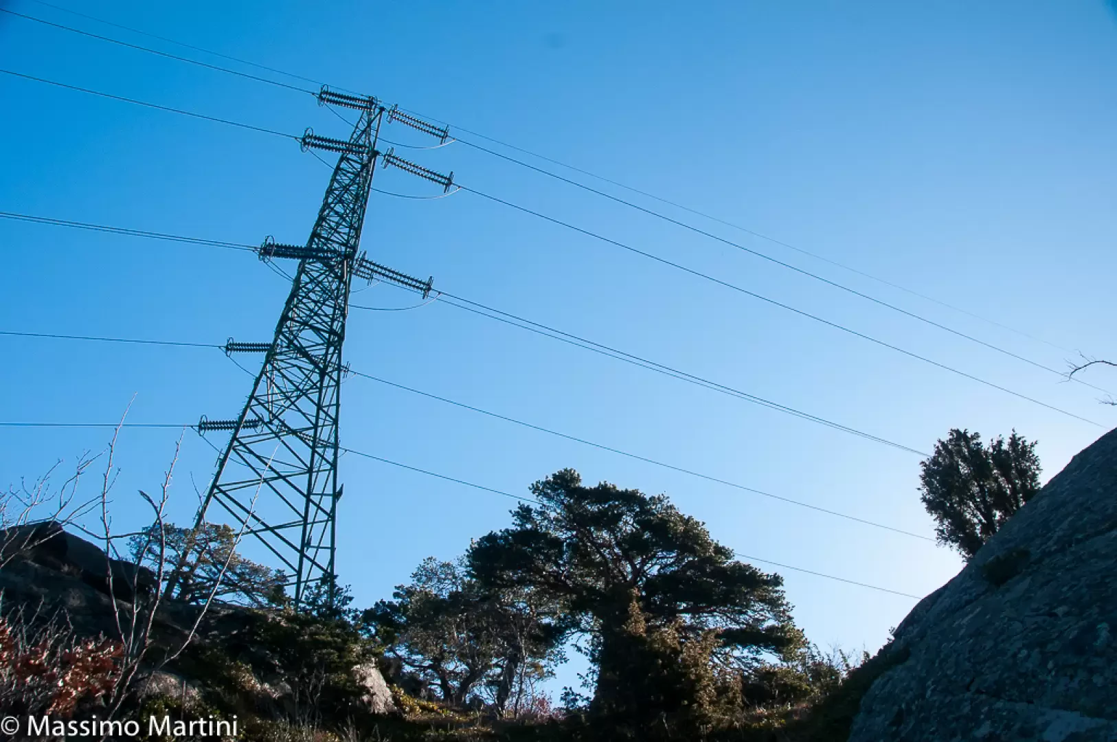
Mont Avi, from Bellecombe
Finding thousand-metre peaks in the Valle d'Aosta is a difficult task. Mont Avi is one of these, a little-known peak...
T3
2.00 Km
100 m
Edited by:
Massimo Martini
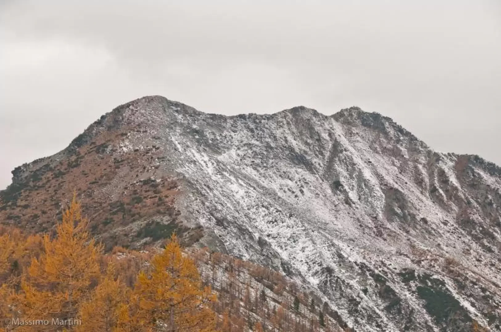
Mont Barbeston, from Bellecombe
The route described here represents access to Mont Barbeston from the commune of Châtillon. A route with a moderate difference...
T2
15.21 Km
1467 m

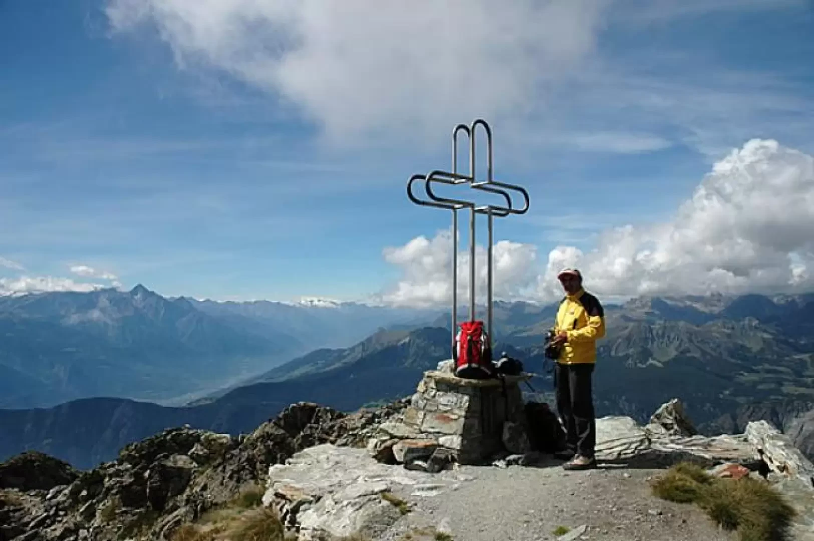
Edited by:
Massimo Martini
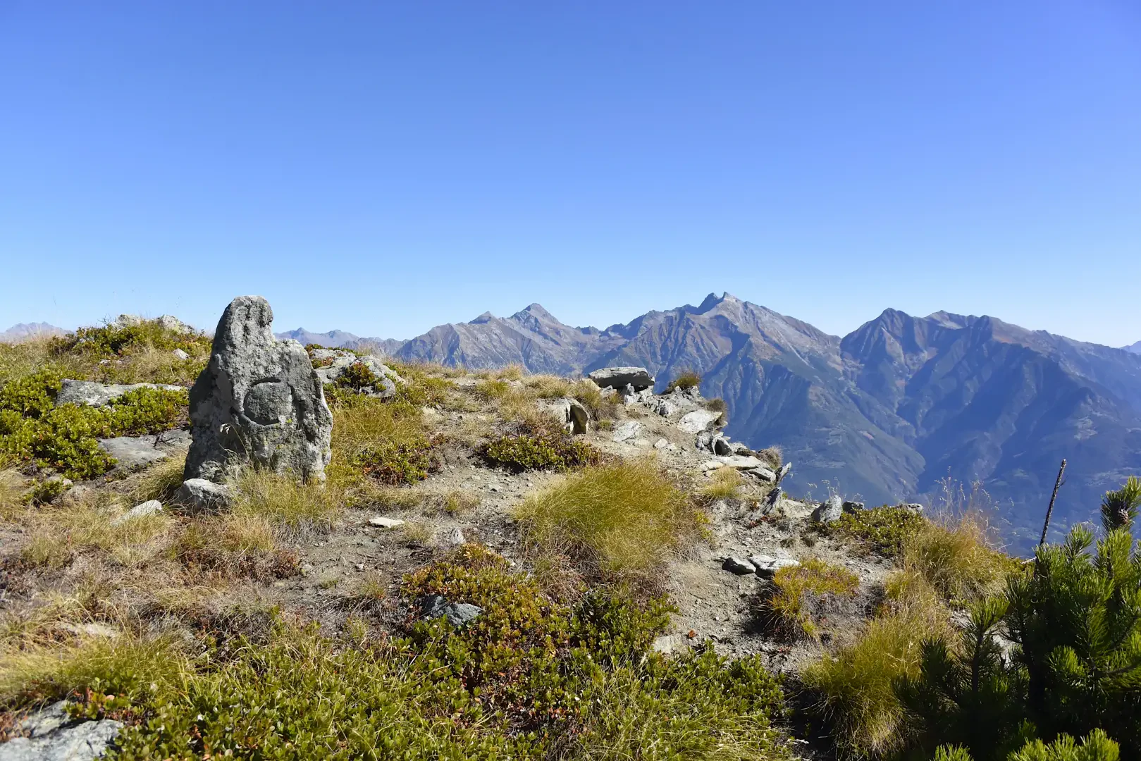
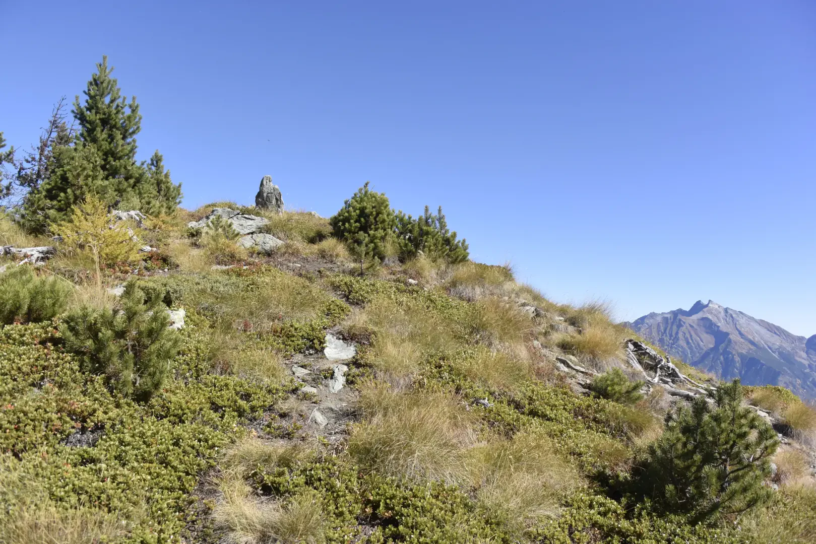
Mont Tantané, from the Artaz car park
Interesting loop on the slopes of Mont Tantané: the proposed route is configured as a loop and provides a beautiful...
T2
9.50 Km
1019 m
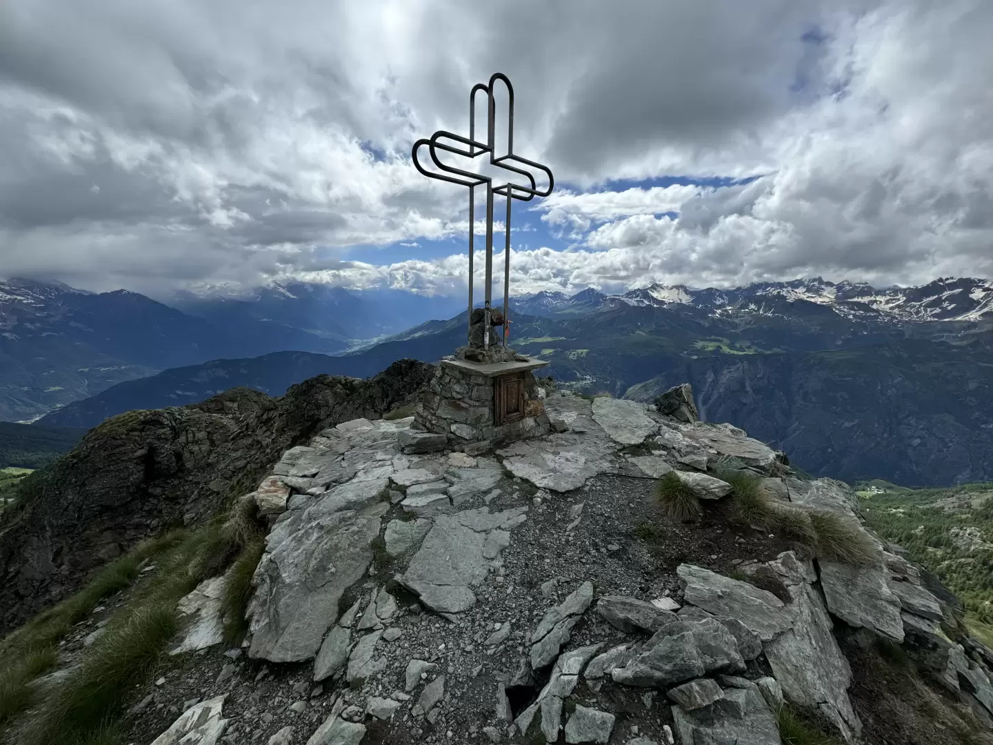
Edited by:
Massimo Martini
Mont Tantané, from Promiod
Mont Tantané is a 2734-metre-high peak at the end of the Tournalin-Zerbion coastline. Isolated and pyramid-shaped, it can be reached...
T3
14.00 Km
1240 m
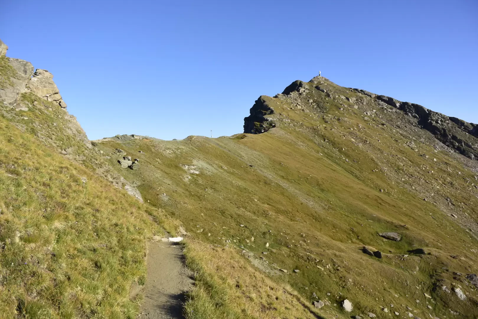
Edited by:
Massimo Martini
Mont Zerbion, from Artaz
A delightful hike starting from the village of Artaz in the commune of La Magdeleine and ascending through the cool...
T2
15.00 Km
1241 m

Edited by:
Massimo Martini
Mont Zerbion, from Barmasc
The most classic route for ascending Mount Zerbion. An excellent route, challenging in places, that will offer you unforgettable views.
T2
8.19 Km
822 m
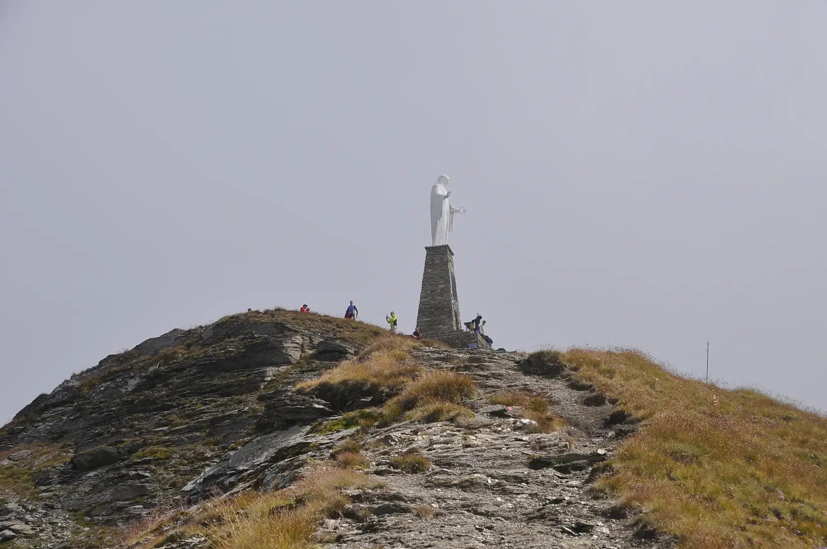

Edited by:
Massimo Martini
Petit Mont Blanc de Châtillon, from the Panorama locality
Short hike on the Petit Mont-Blanc, a wooded hillock above the village of Châtillon. The itinerary first takes in the...
T2
5.85 Km
375 m